Pics Northern Norway 2013
I have divided our Norwegian trip into north and south, as we travelled over 3000 km from North Cape to Stavenger and that makes for a lot of photos. This section will cover our trip from our entry into to Norway near Karasjok as far south as Trondheim. I hope you enjoy the album. If any one would like more information on any of the areas or subjects, I have many more photos and would be pleased to oblige.
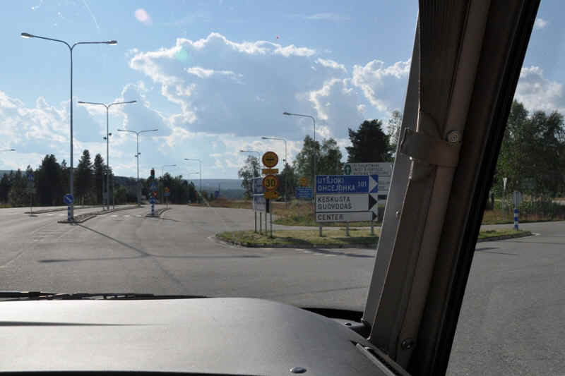
Border crossing from Finland to Norway

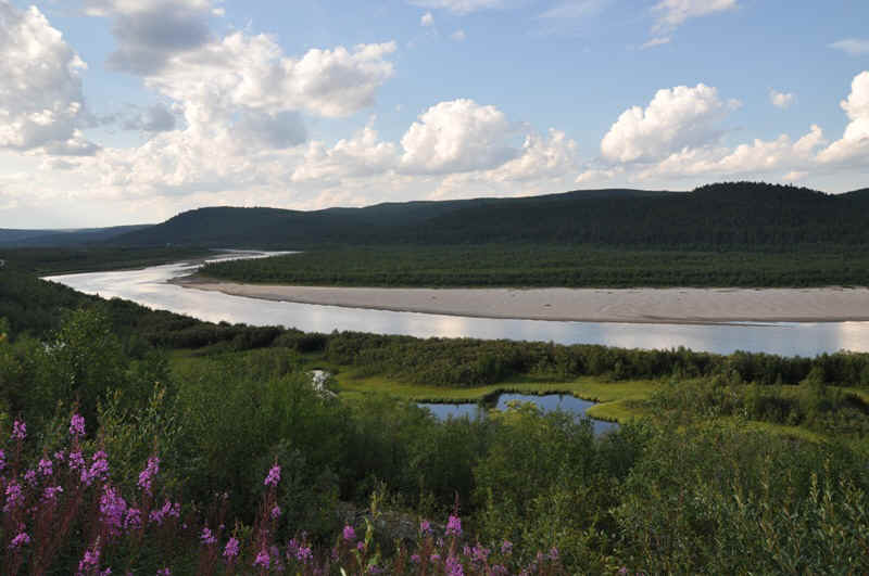
The Tana River follows the border between Norway and Finland for 256 km.
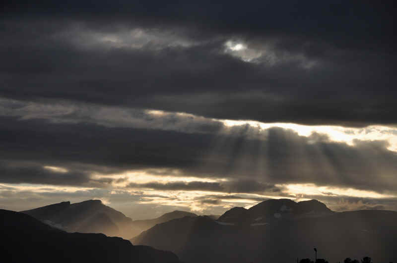
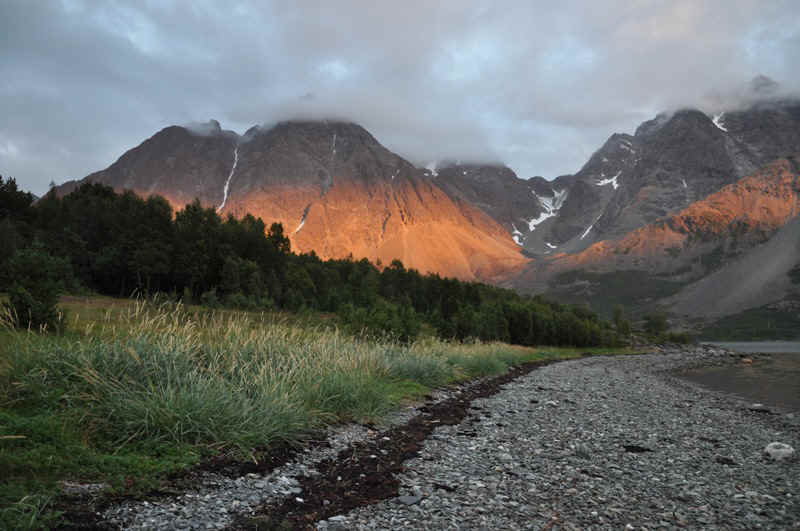
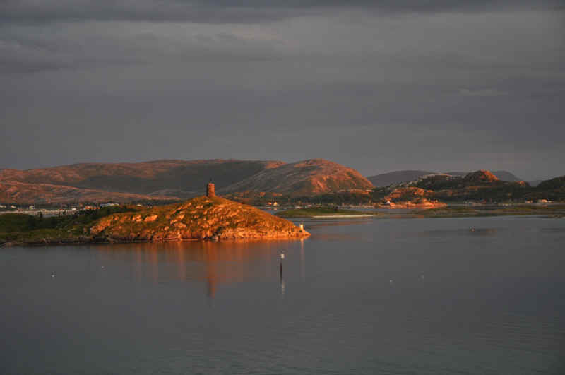
We stopped to photograph this view and
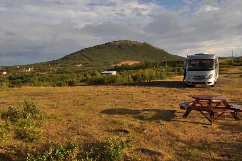
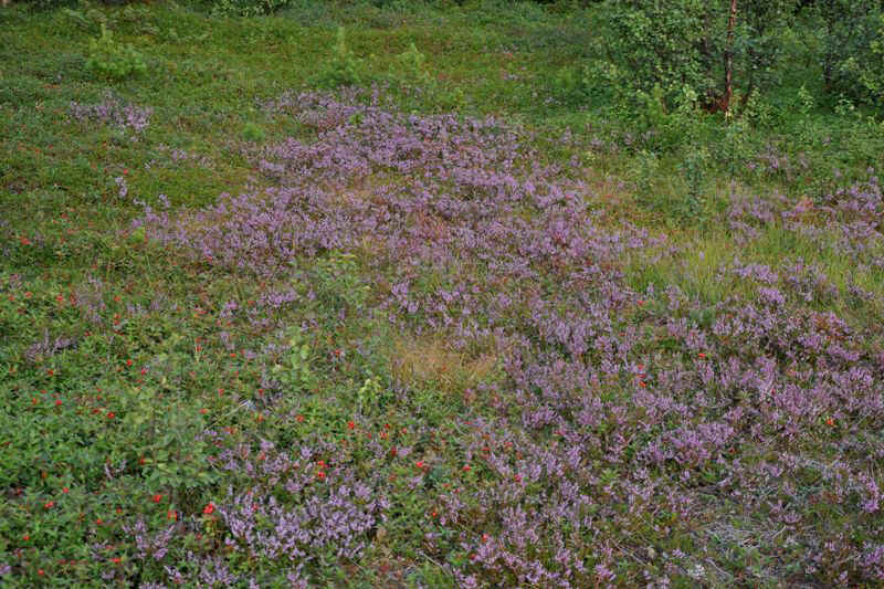
Elisabeth noticed this nice quiet picnic place,
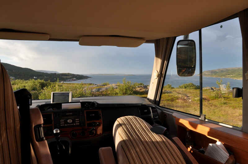
with a really great view ,
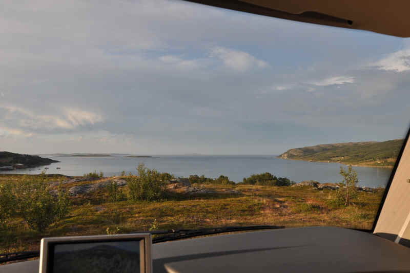
so we stayed for the night.
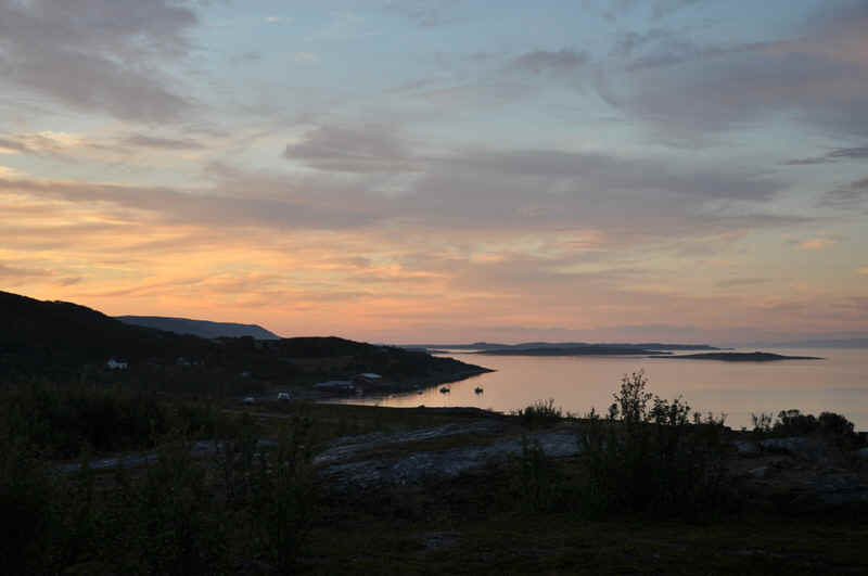
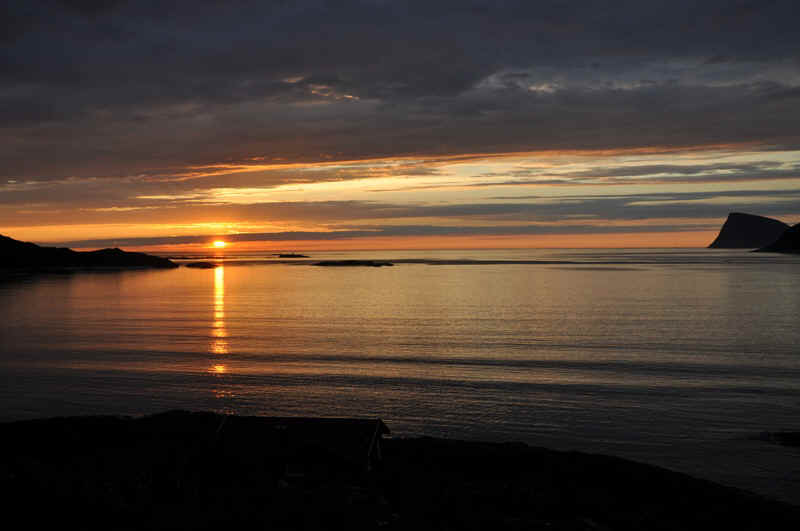
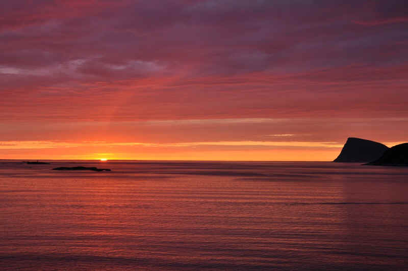
11.30 pm 27.07.2013
3.00 am 28.07.3013
Elisabeth looked outside in the morning and surprised this fellow.
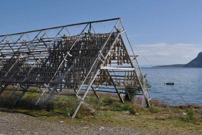
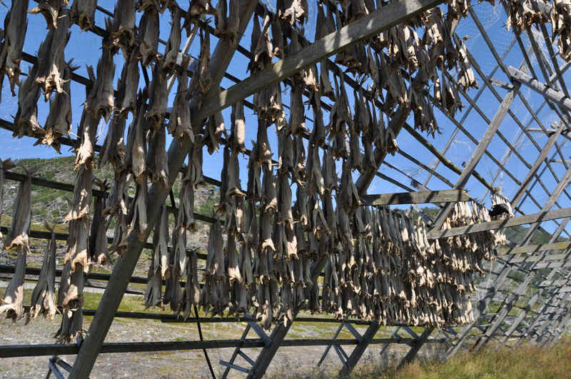
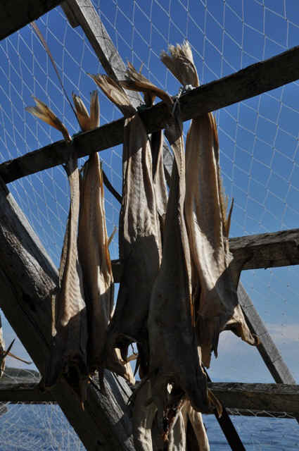
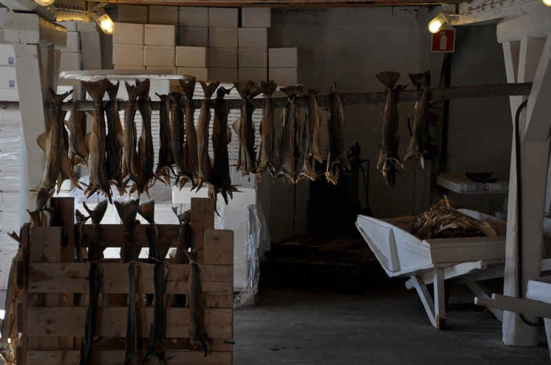
Drying stock fish (Norwegian Cod)
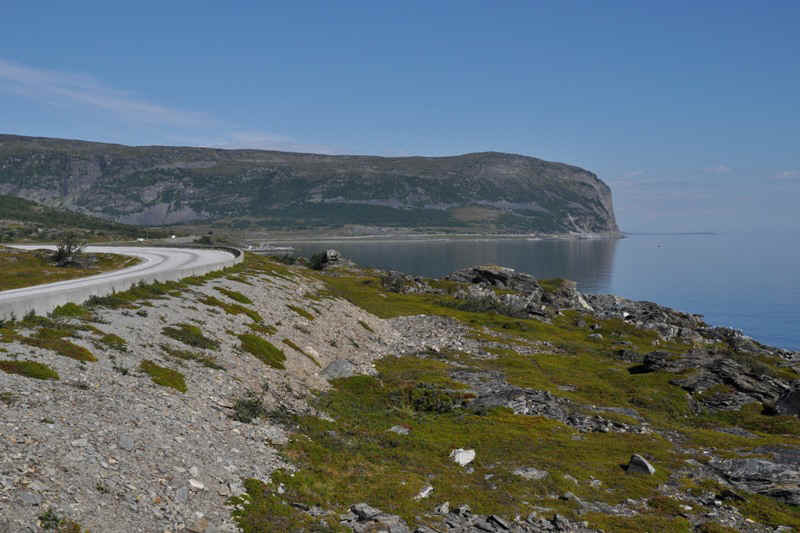
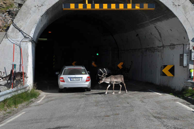
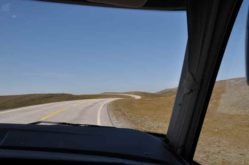
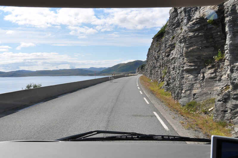
The road to the North Cape
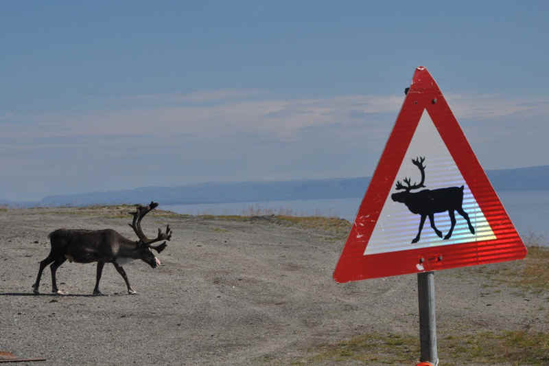
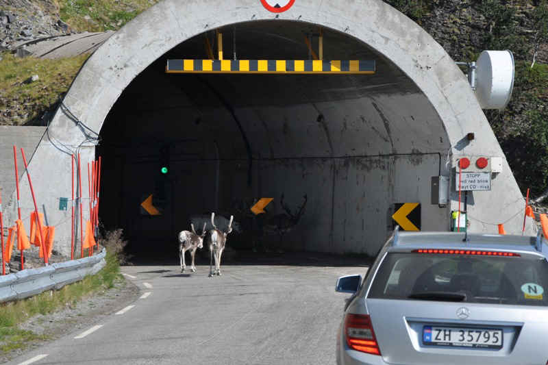
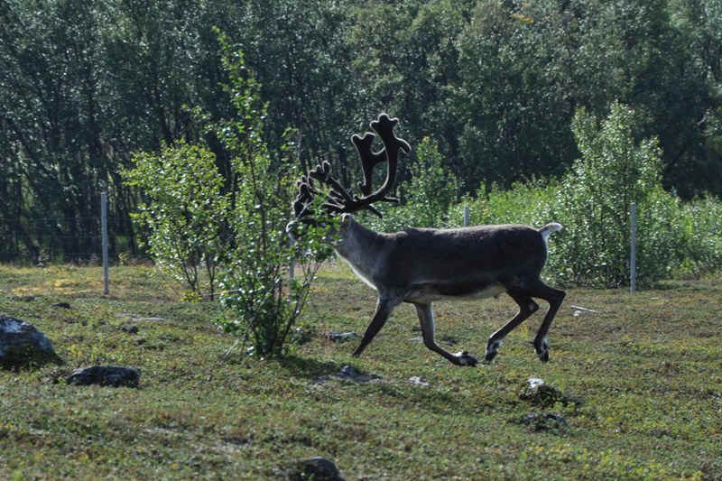
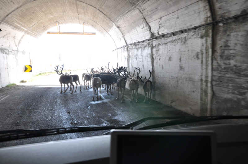
Reindeer sheltering from the heat of the day in the entrance to the tunnel. It was around 25° C
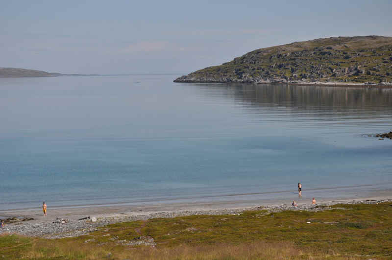
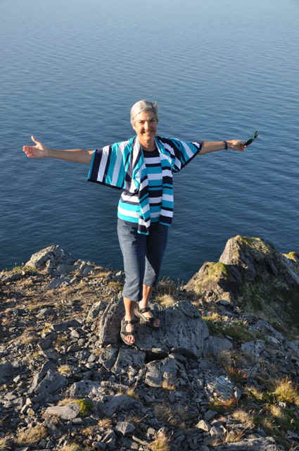
The sight of someone going swimming was too much for Elisabeth
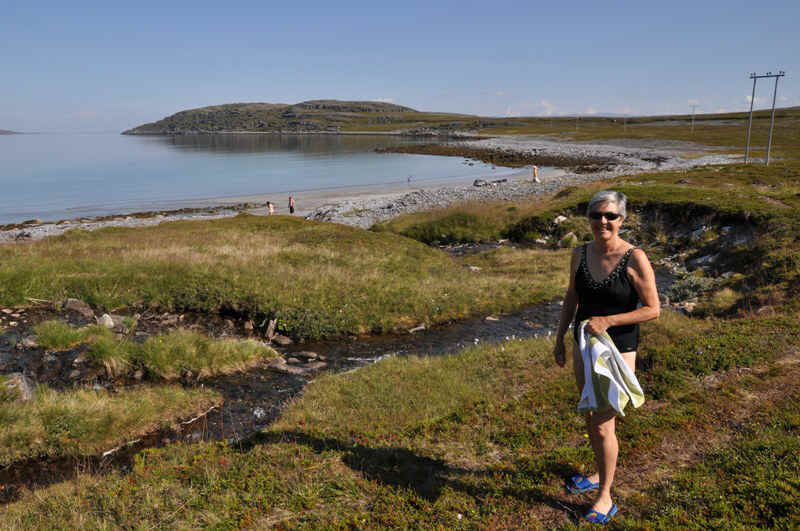
She decided to give it a try,
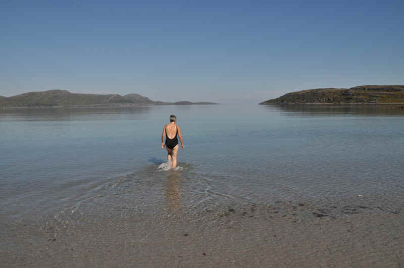
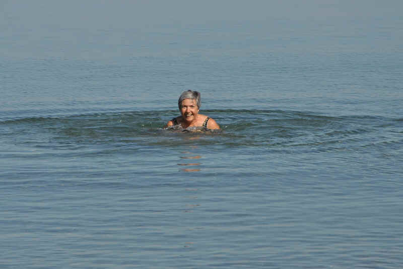
but she didn't stay in for long.
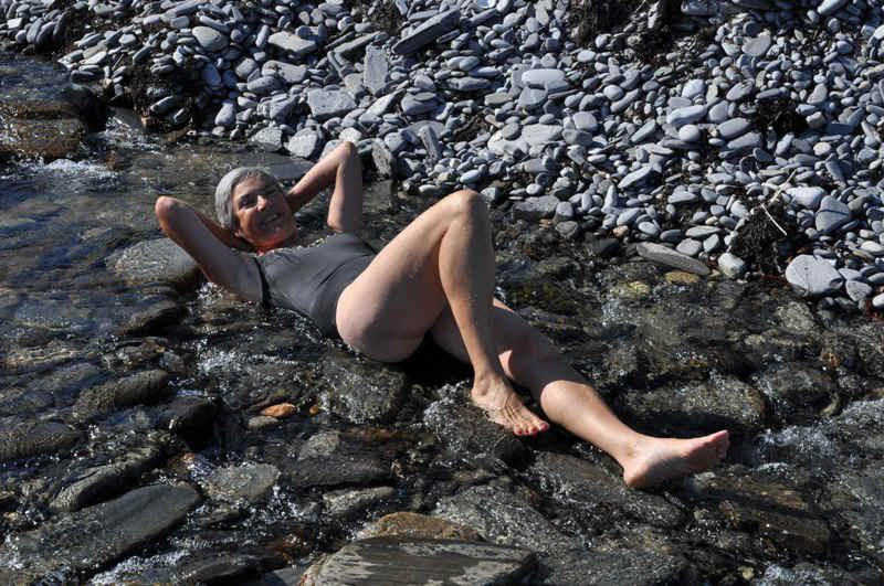
The fresh water stream flowing into the bay was warmer than the Barent Sea.
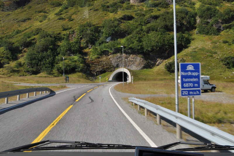
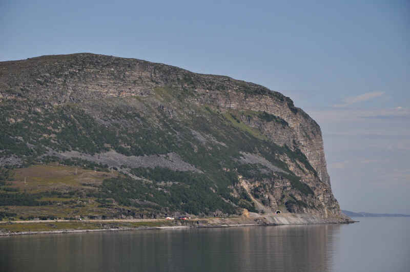
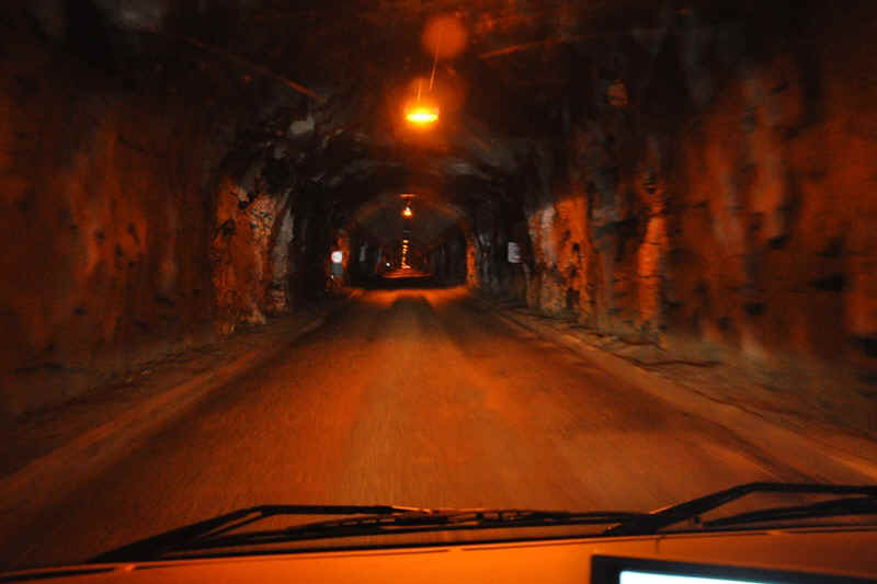
The start of the tunnel to the island of the North Cape. It is 6870 meters long and runs 212 meters below sea level.
On the island.
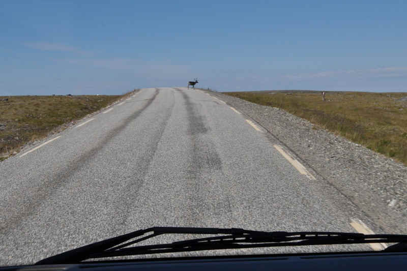
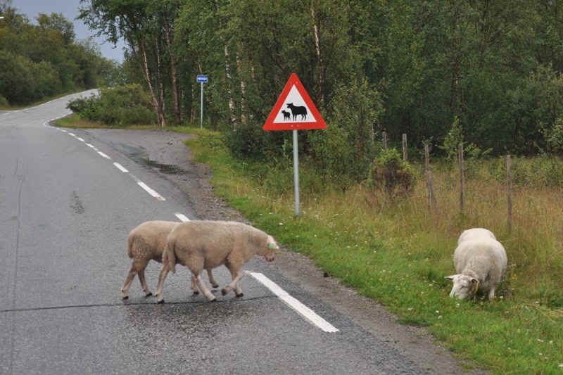
Another road hazard.
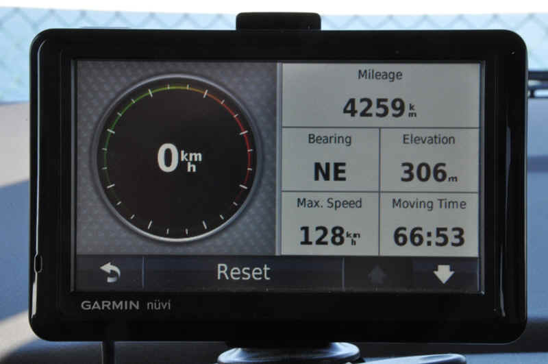
Distance travelled from Romanshorn to North Cape.
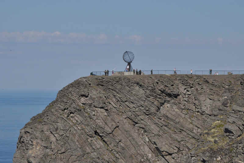
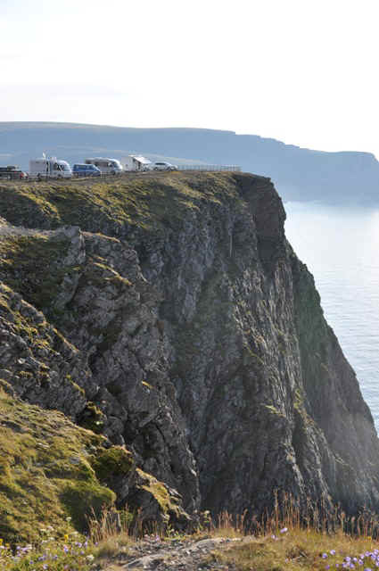
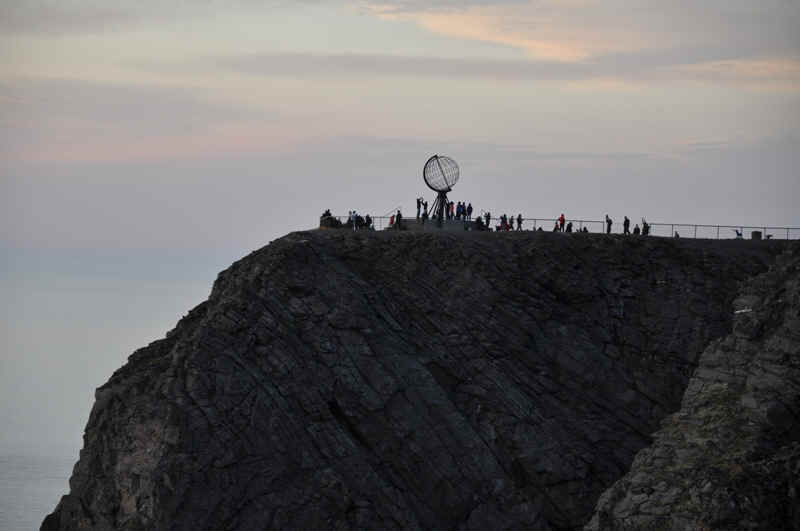
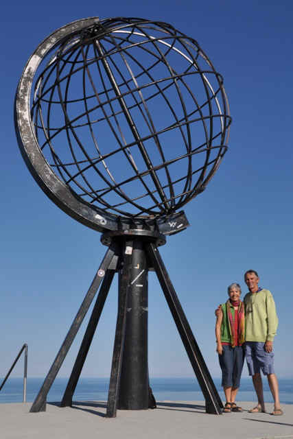
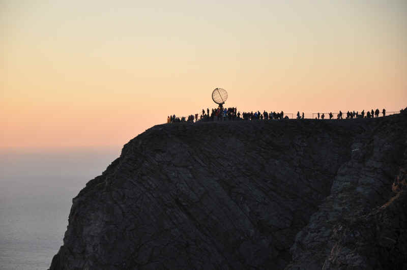
The artistic landmark on North Cape.
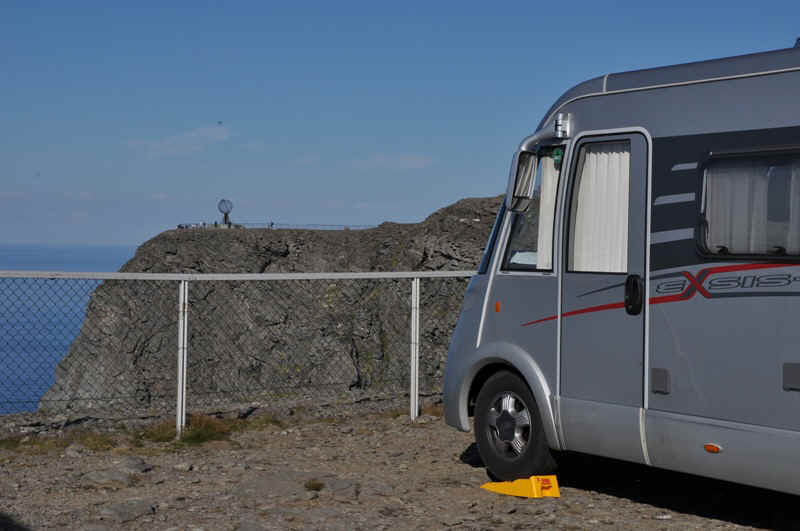
Our parking place with a view of North Cape.
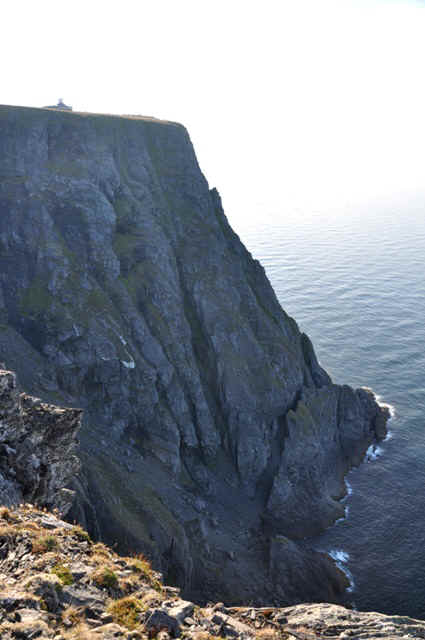
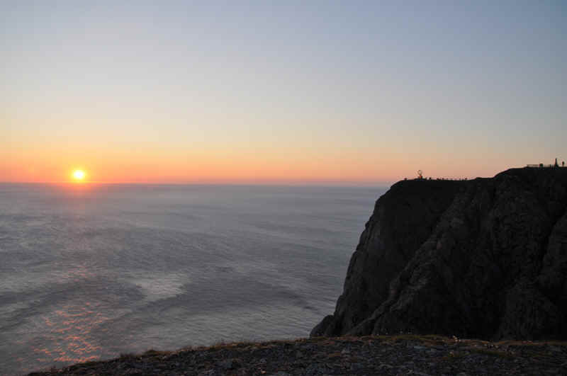
North Cape, 300 meters high.
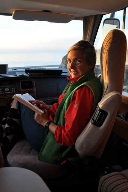
Our motorhome is in the middle.
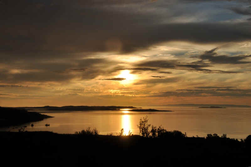
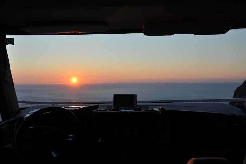
Waiting for midnight.
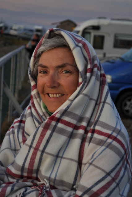
It was cooler outside.
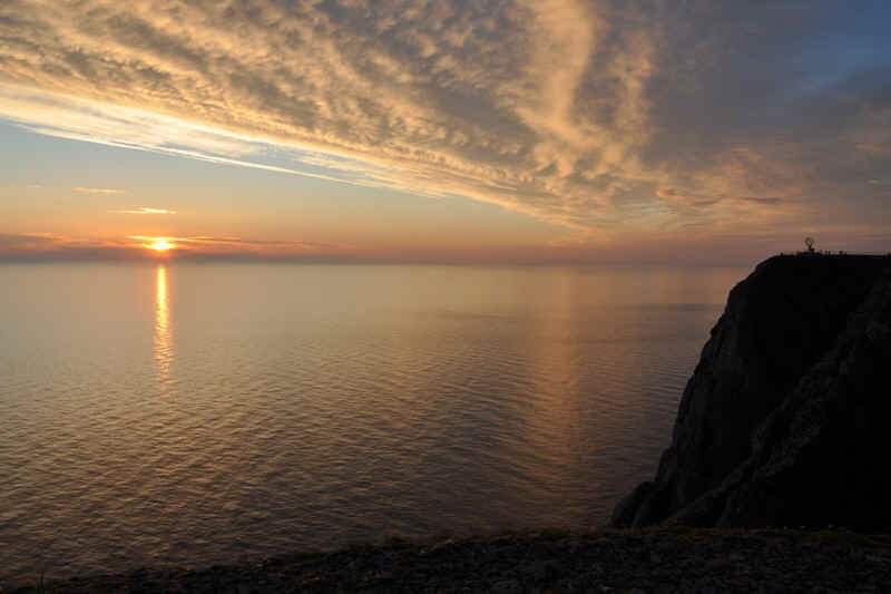
1 am on the 29th.The sun had hidden in clouds on the horizon at midnight.

Post card
A rare moment without crouds of people.
12 midnight on the 29th, eventually clear weather.
Midnight.
We were much warmer than these tourists.
Morning of the 30th.
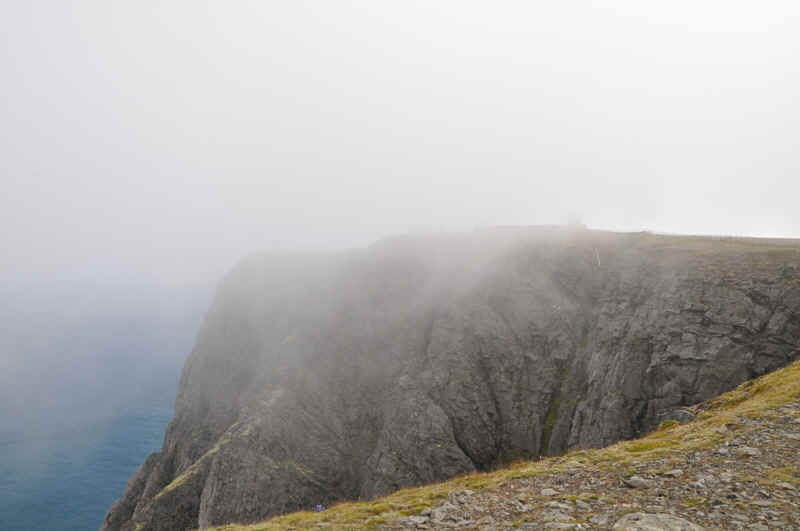
North Cape as it can be.
More reindeer
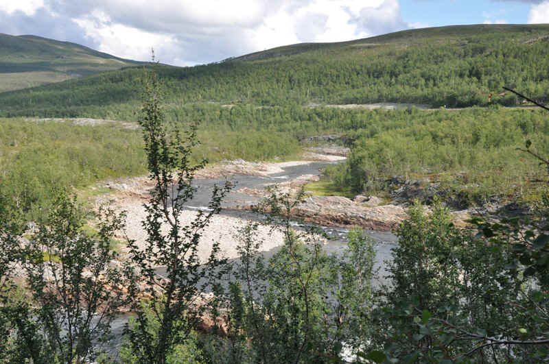
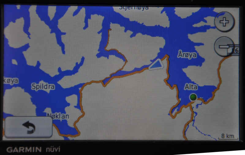
A river on the way to Alta
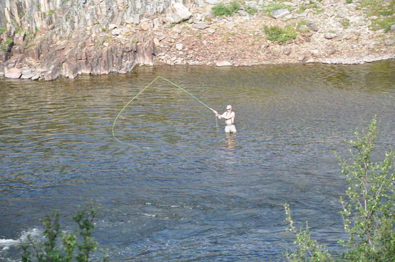
With a fly fisher trying his luck.
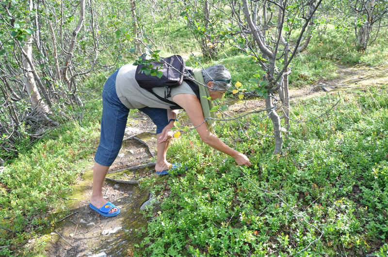
We settled for berries.
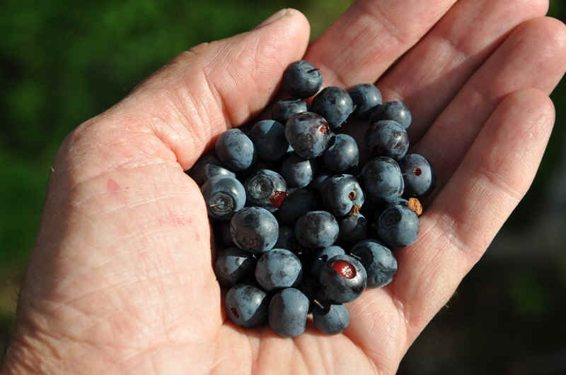
Mmm!
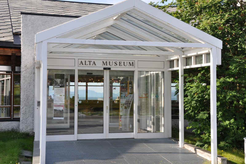
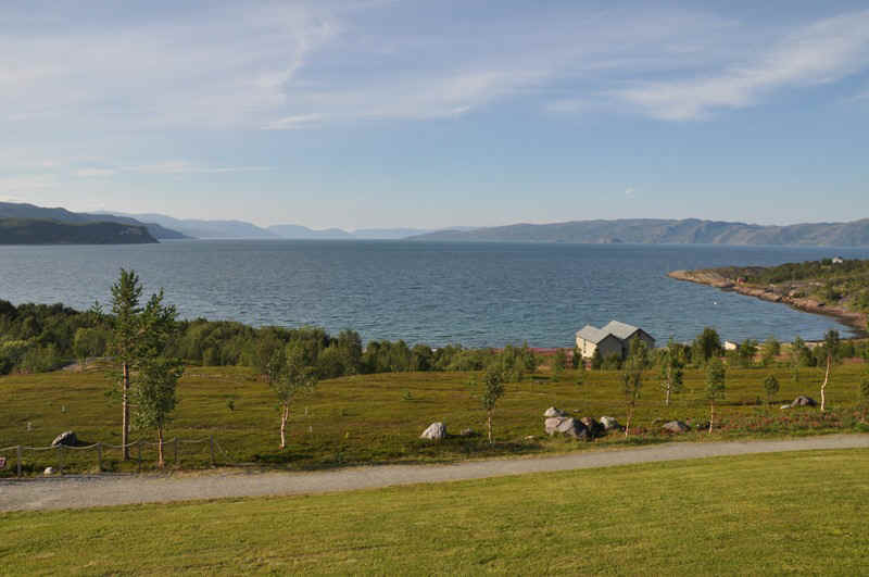
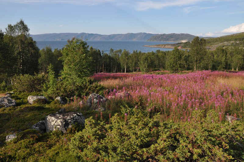
Looking North across Altafjord from the museum.
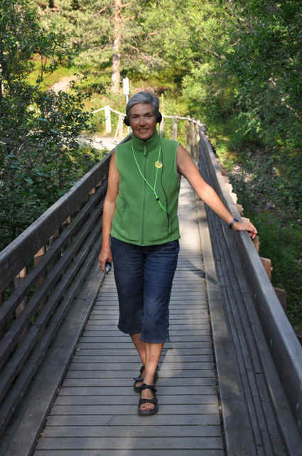
Elisabeth with an audio guide at the Alta Museum
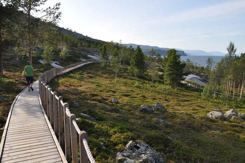
Boardwalk, Alta Museum
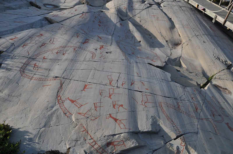
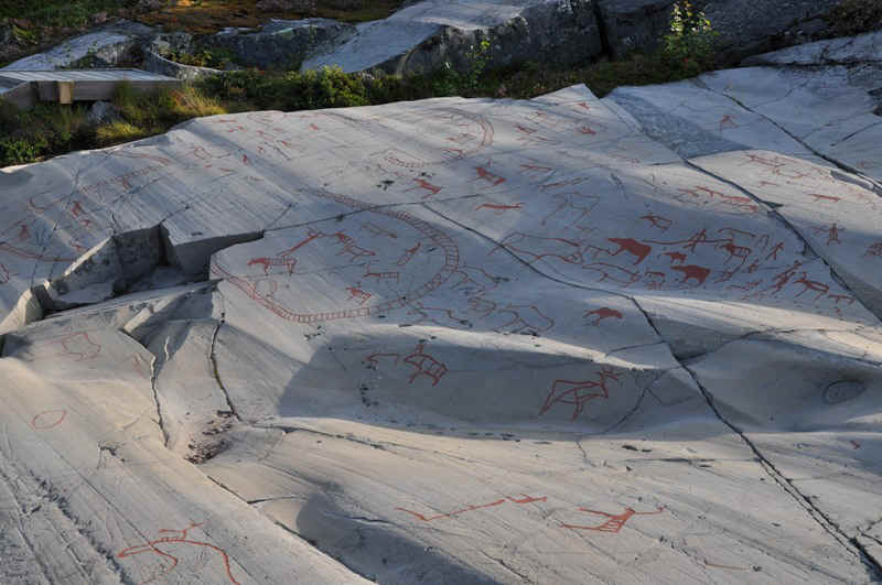
Rock etchings up to 7000 years old.
Link to museum: http://www.alta.museum.no
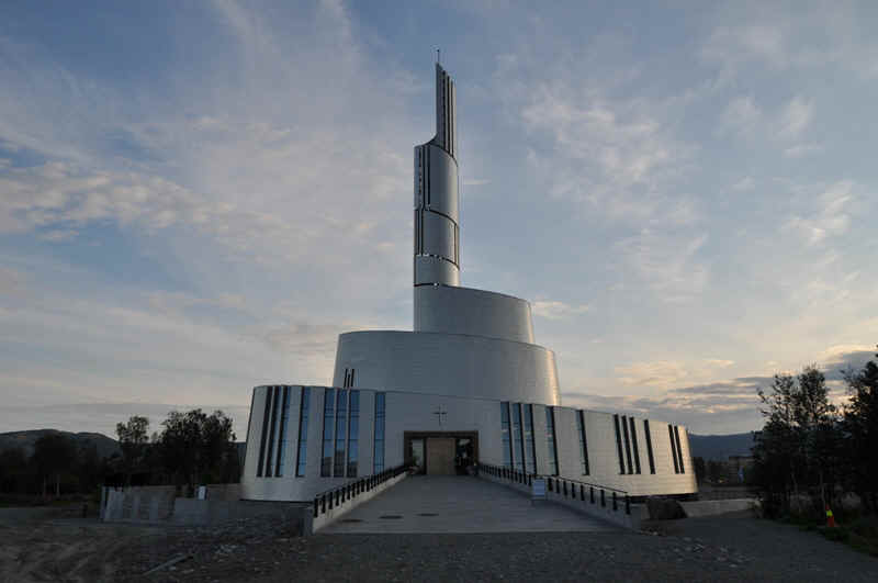
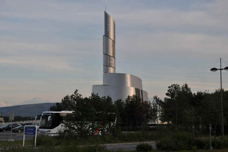
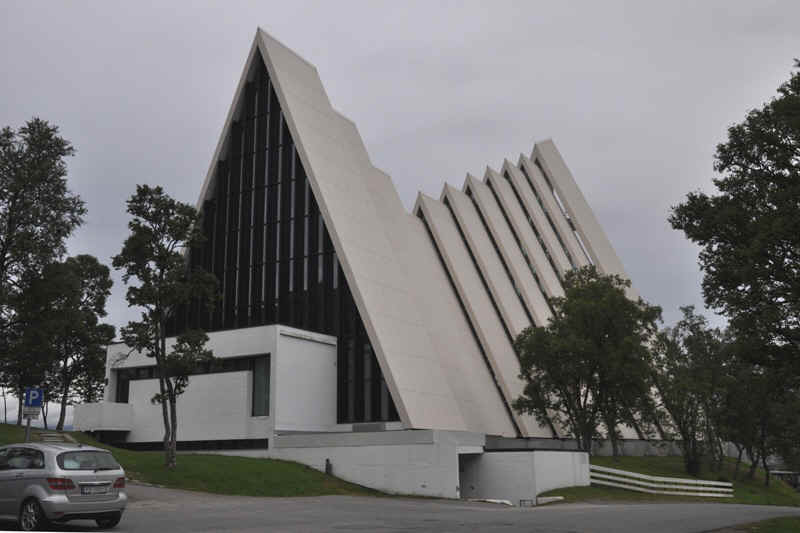
Brand new Northern Lights Cathedral in Alta, clad with titanium. The landscaping was not finished when we were there..
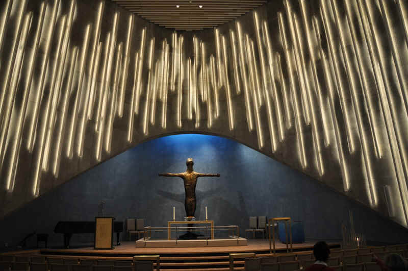
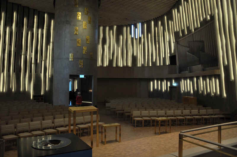
Modern inside and out.
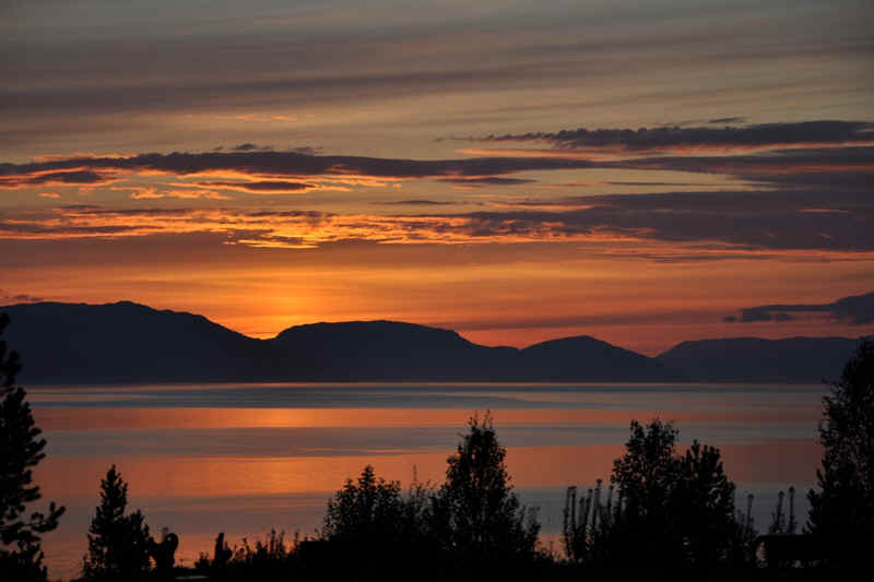
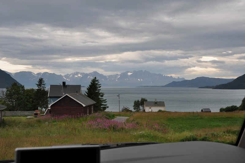
We parked overnight at the museum and this was the view over the fjord.
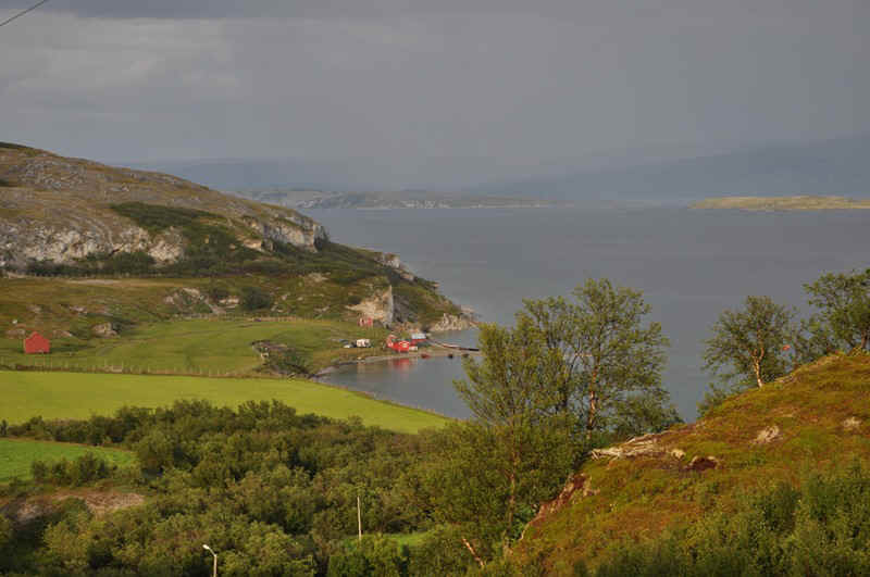
Langfjord looking West
Langfjord
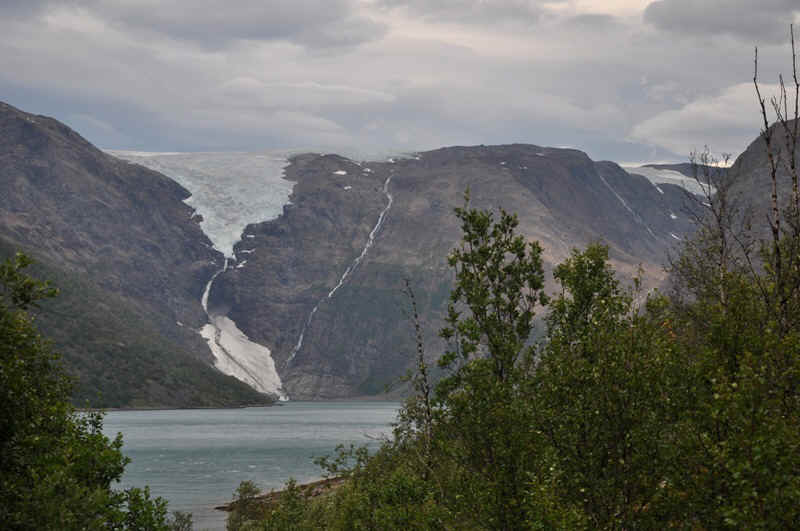
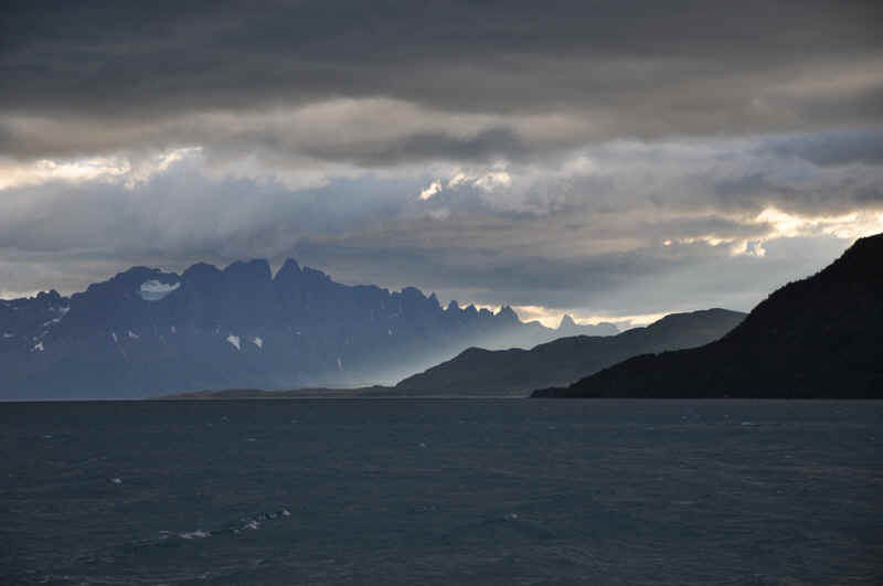
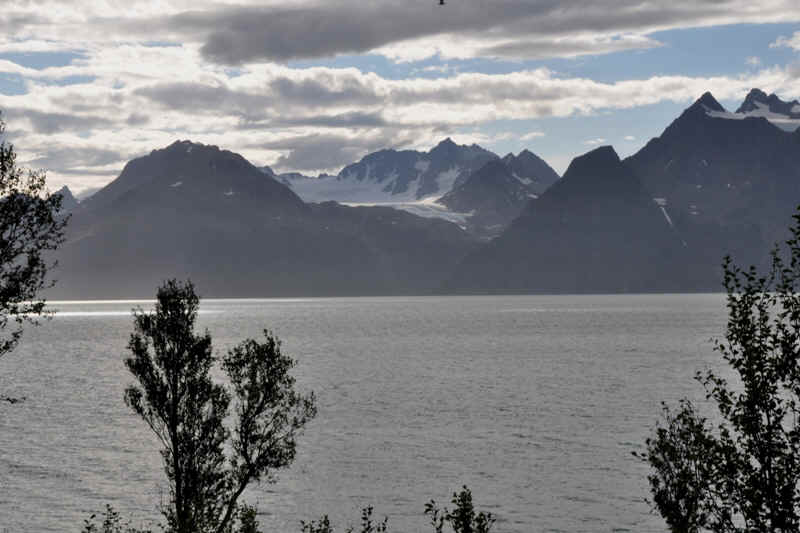
Jřkelfjord with the calving Řksfjordjřkel glacier.
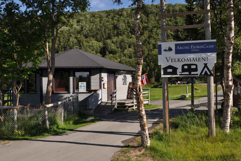
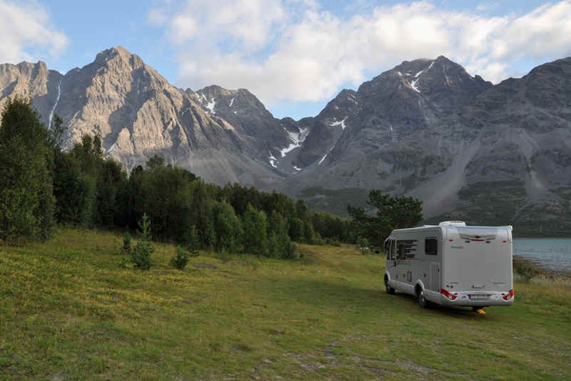
View from our rolling home at Arctic Fjord Camping
View from a high vantage point a bit further West.
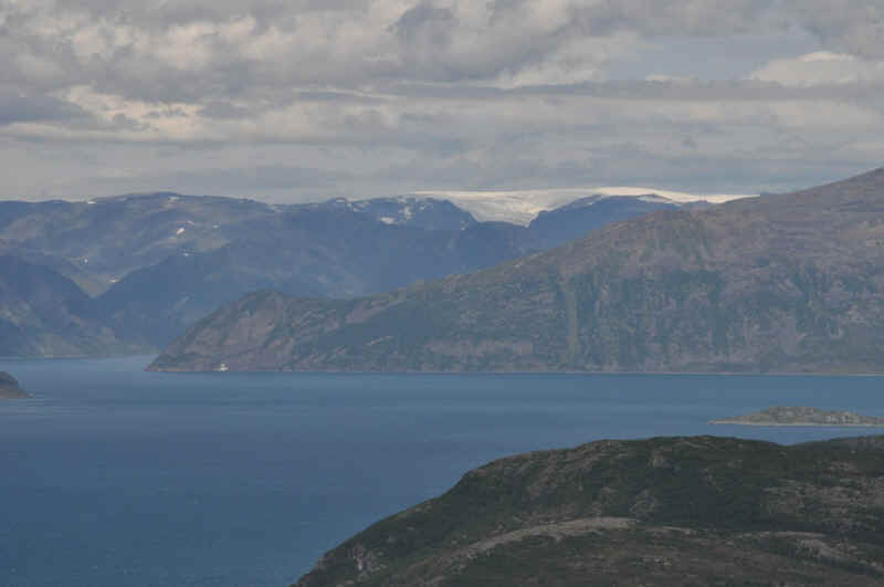
Note the Řksfjordjřkel glacier in the background.
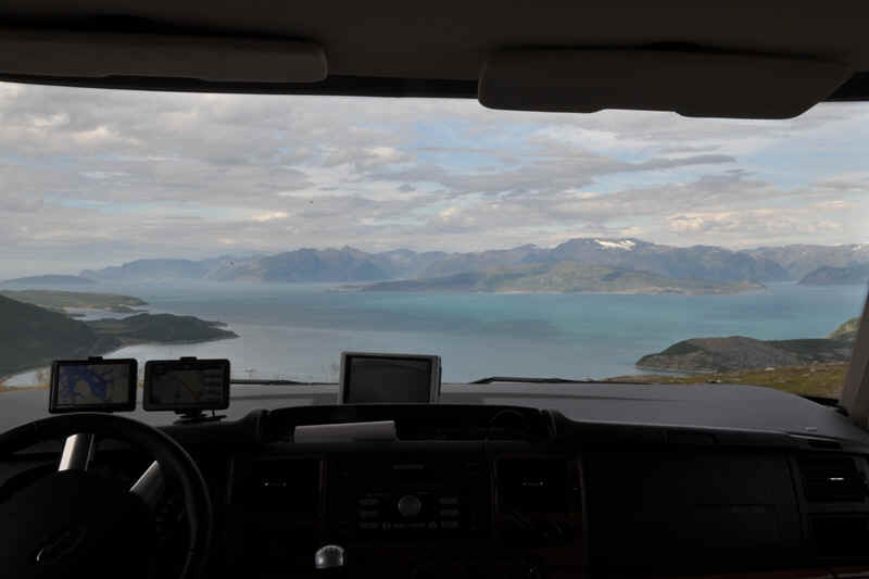
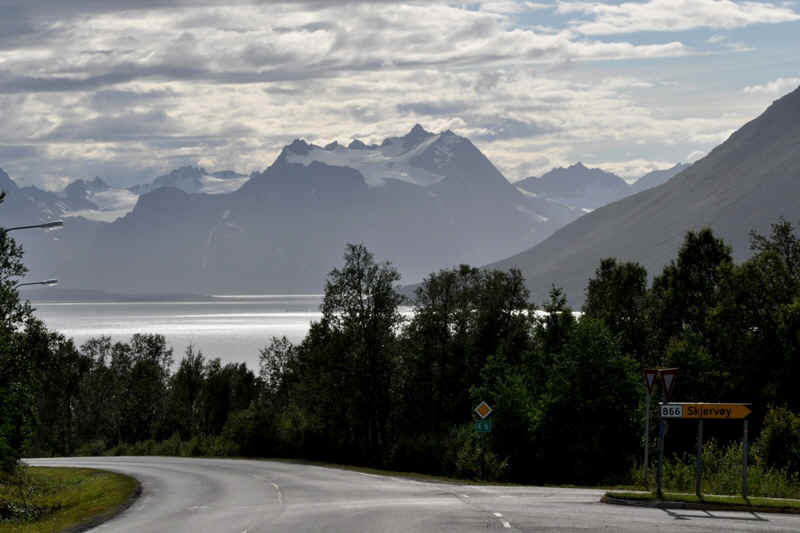
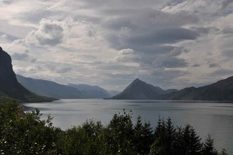
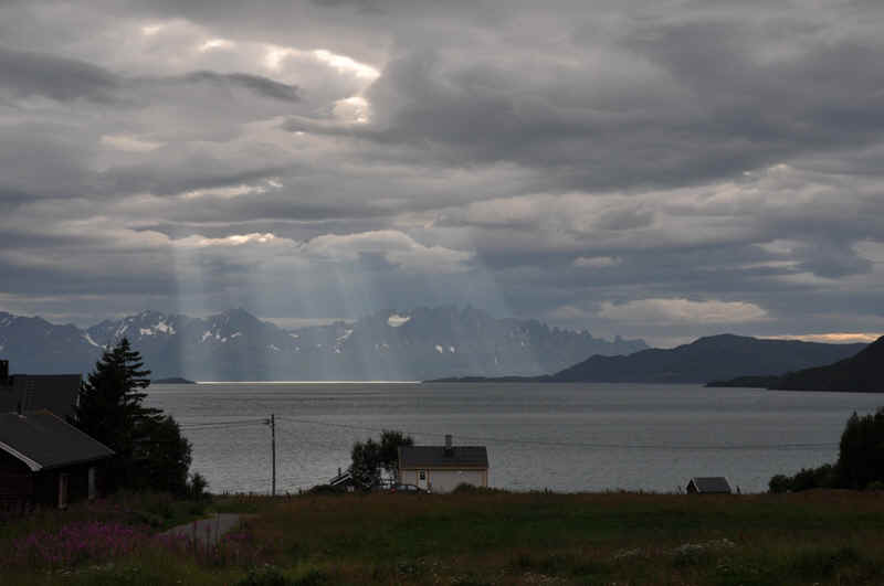
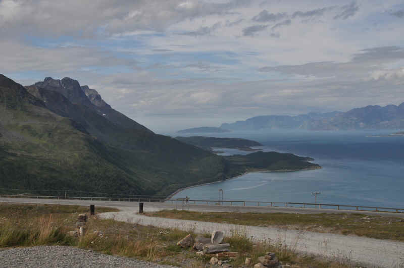
Further West on the E6 Looking over Lyngenfjord.
Lyngen Fjord
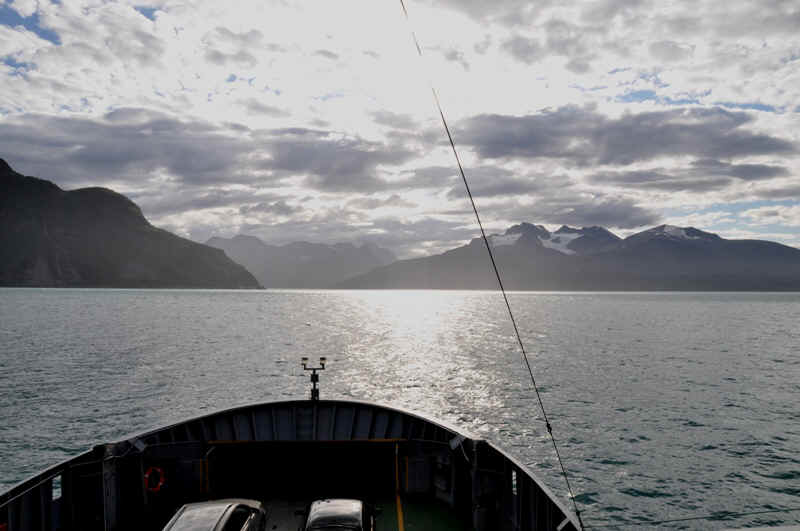
Crossing Lyngen Fjord from Olderdalen to Lyngseidet.
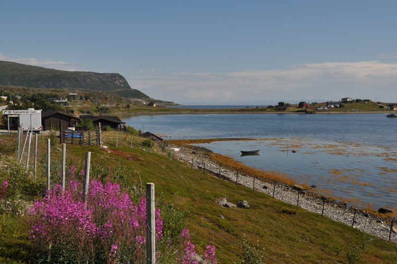
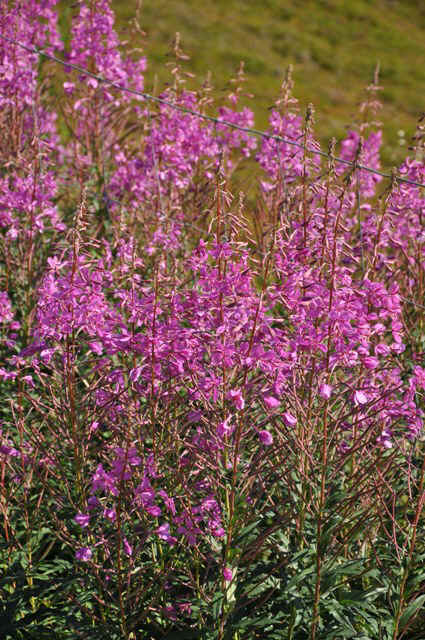
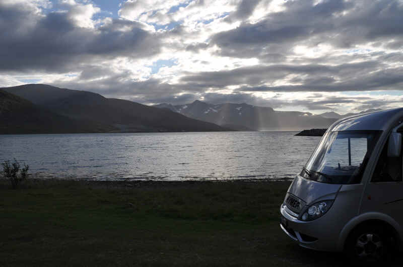
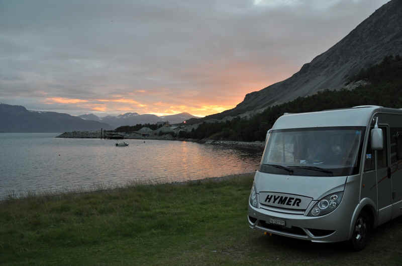
We found this nice quiet place 3 km West of Lyngseidet beside a fjord on the 91.
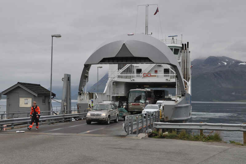
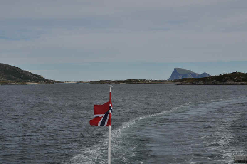
Crossing the next fjord -
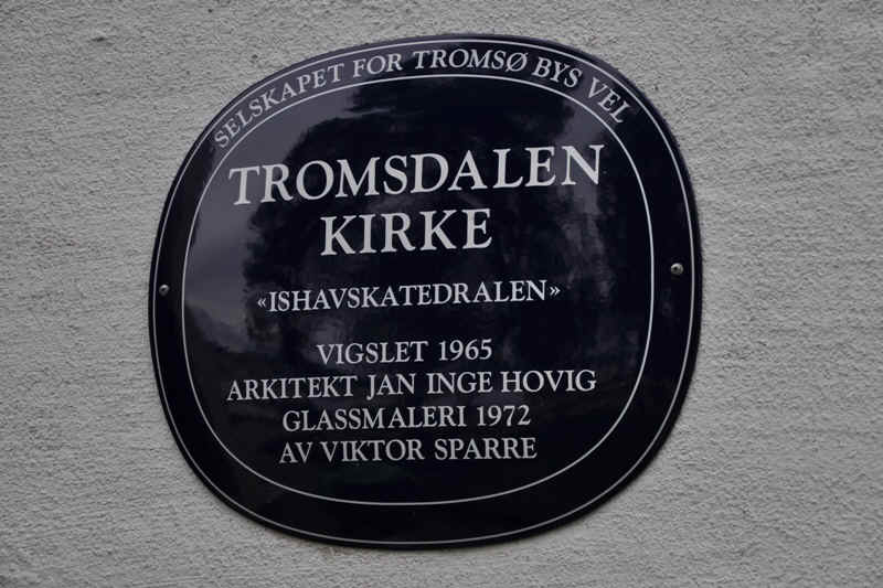
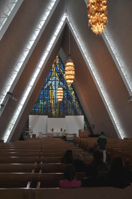
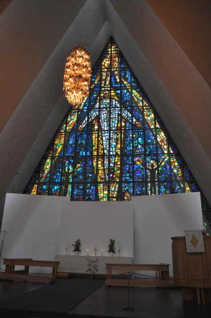
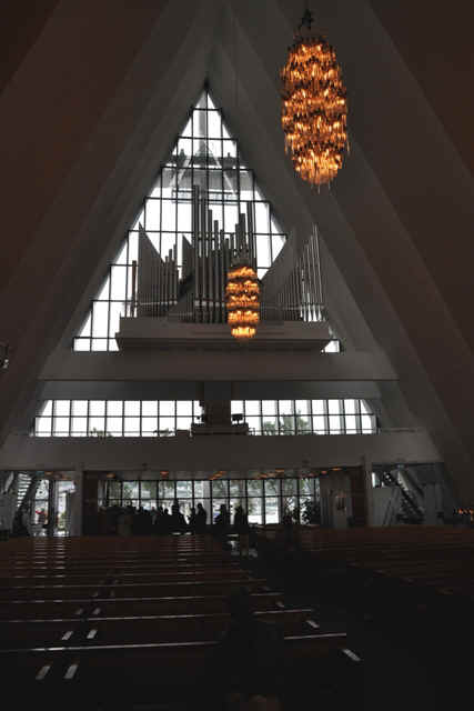
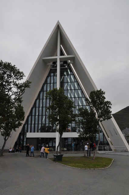
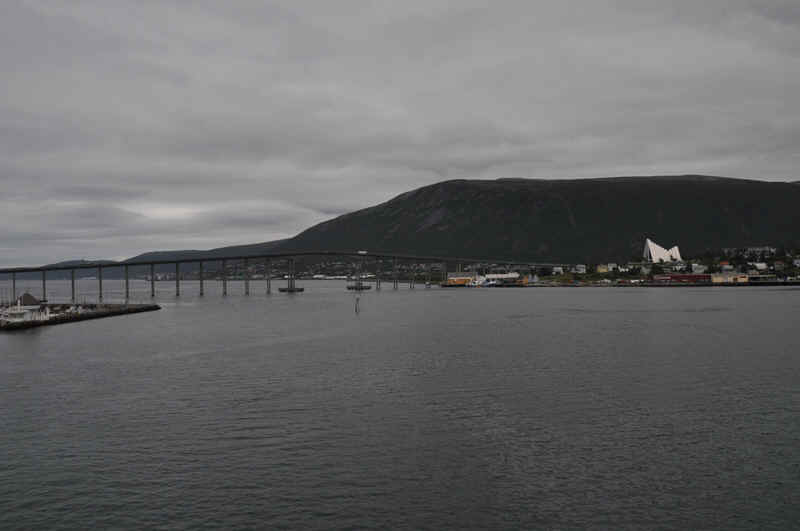
to get to Tromsř. Arctic Cathedral at Tromso
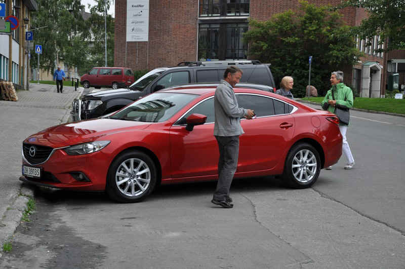
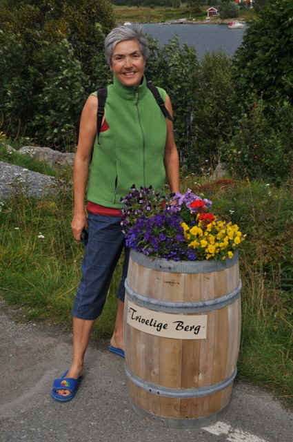
Meeting Joruun and Henning in their new car, one hour old!
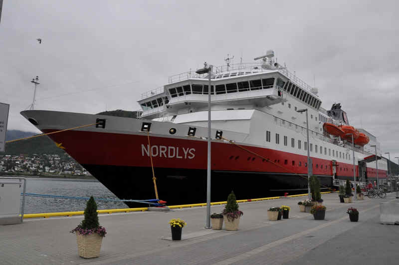
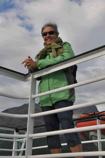
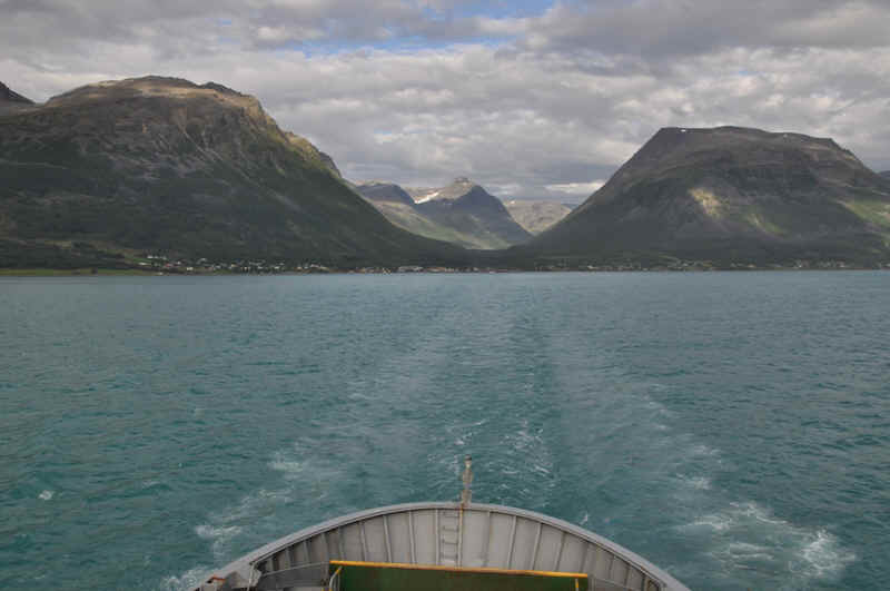
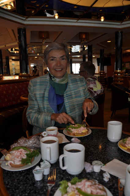
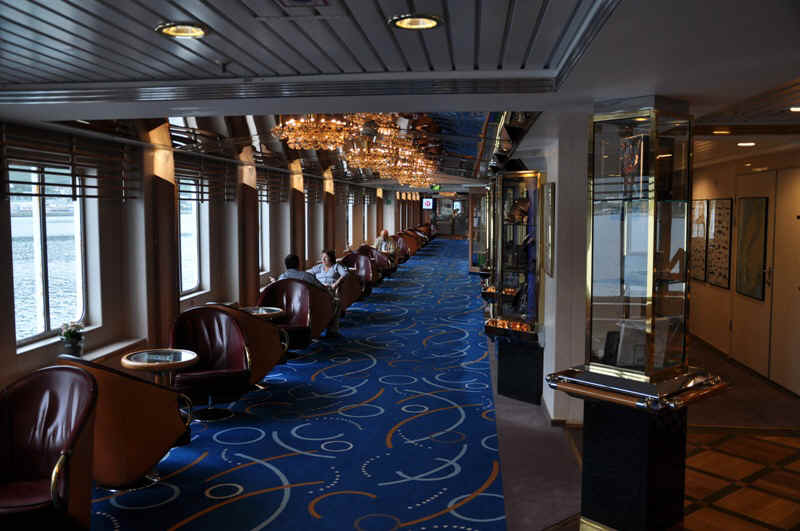
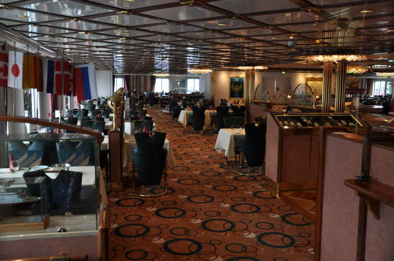
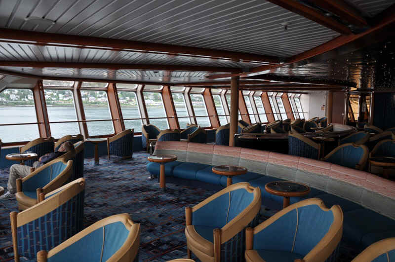
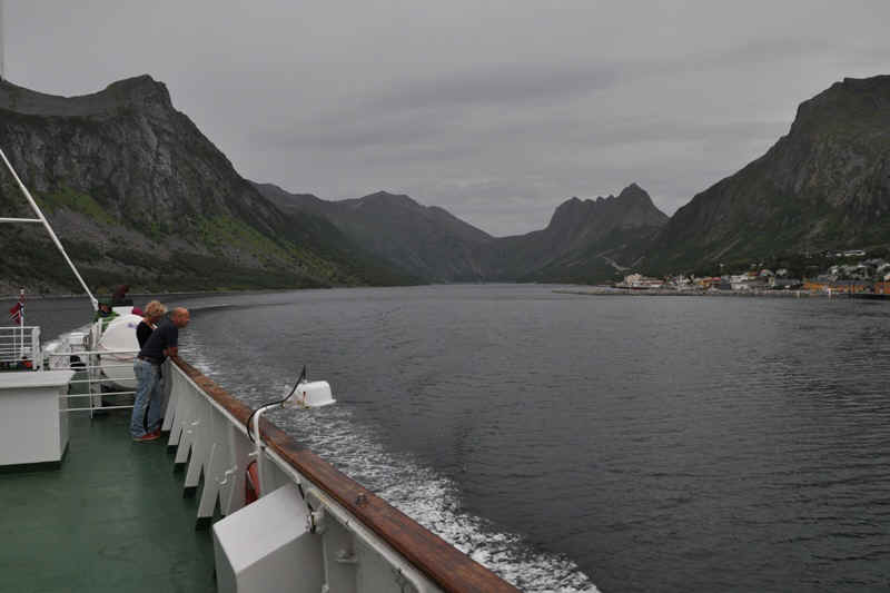
Hürtigruten ship.
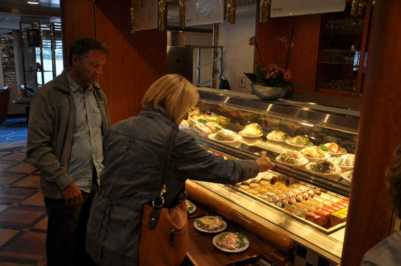
Lunch aboard.
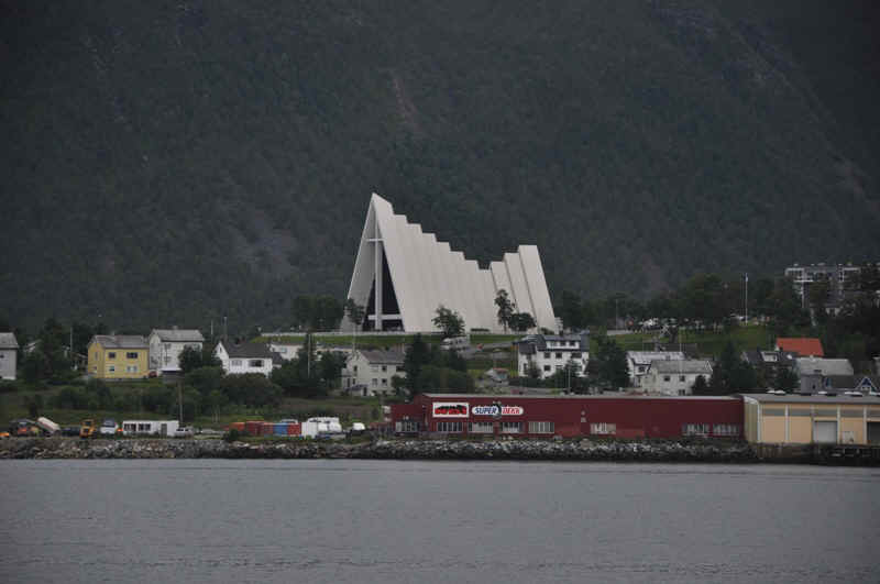
View of the cathedral from the ship.
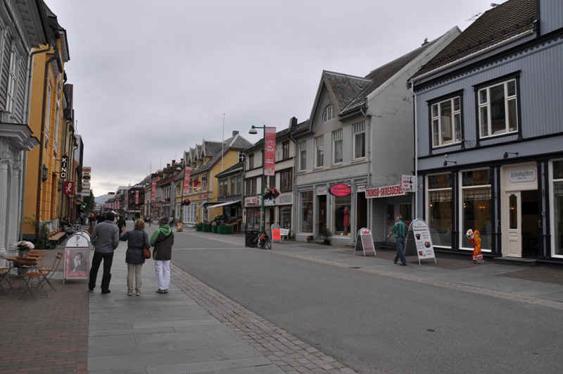
Old part of Tromso
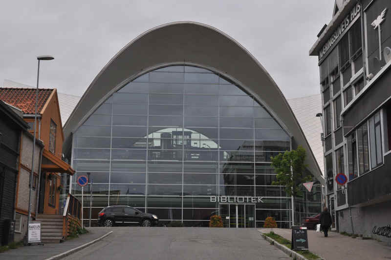
Library Tromso
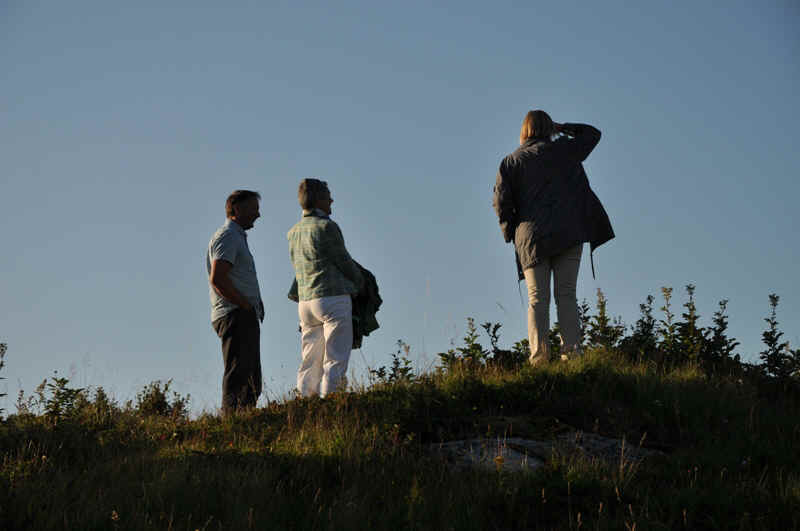
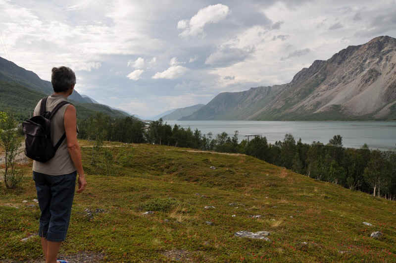
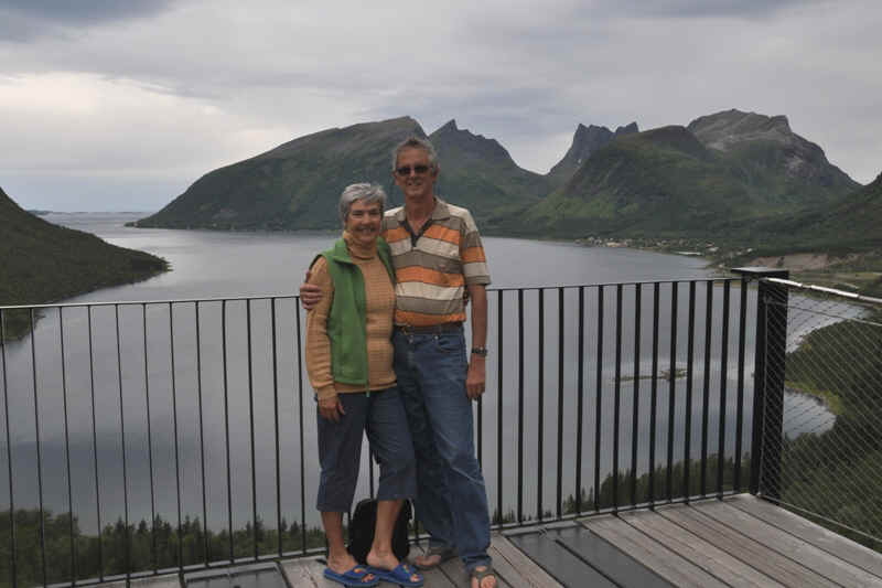
Admiring the view from the small hill at the back of Joruun and Henning's house on Someroy Island.
The view! This island was the inspiration for the cathedral in Tromso.
Looking back to the house.
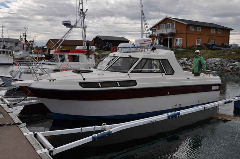
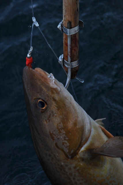
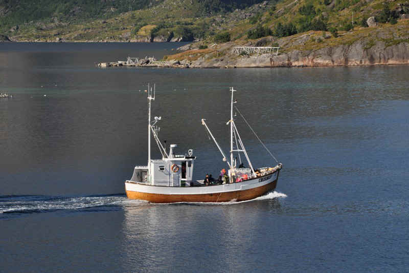
Henning took us out to try for some Norwegian Cod
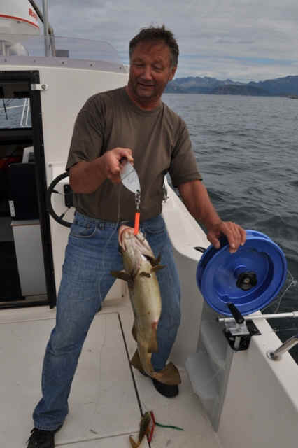
with success.
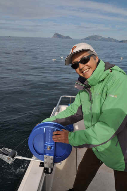
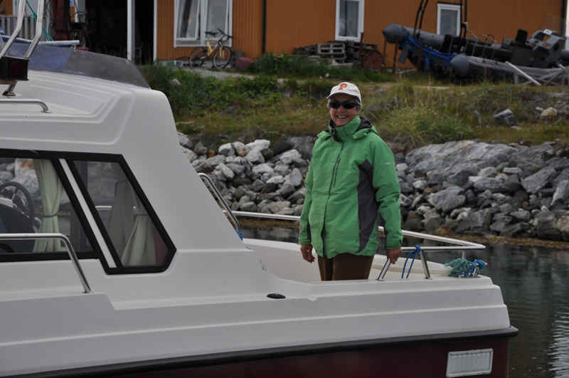
Elisabeth also tried -
successfully.
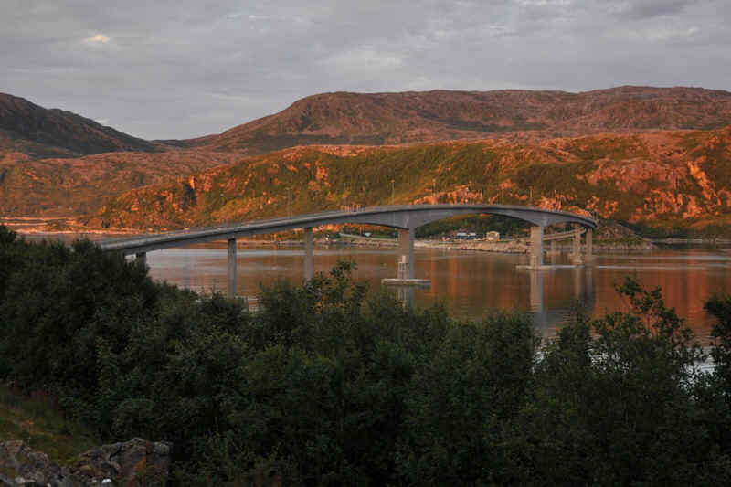
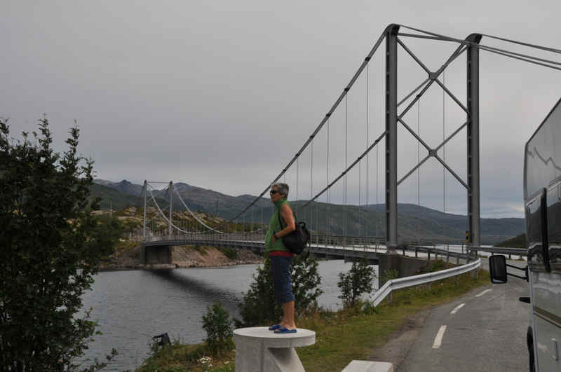
The bridge to the island of Someroy.
Evening view from the bridge.
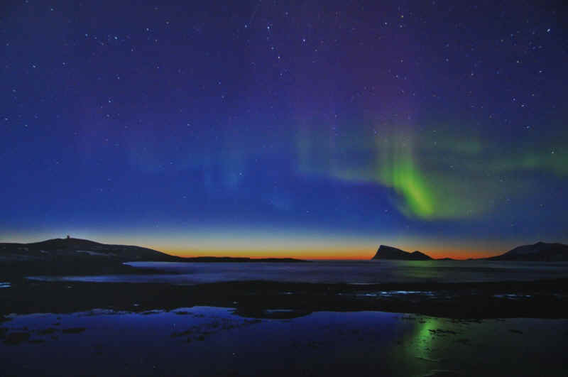
10.37 pm
11.20 pm.
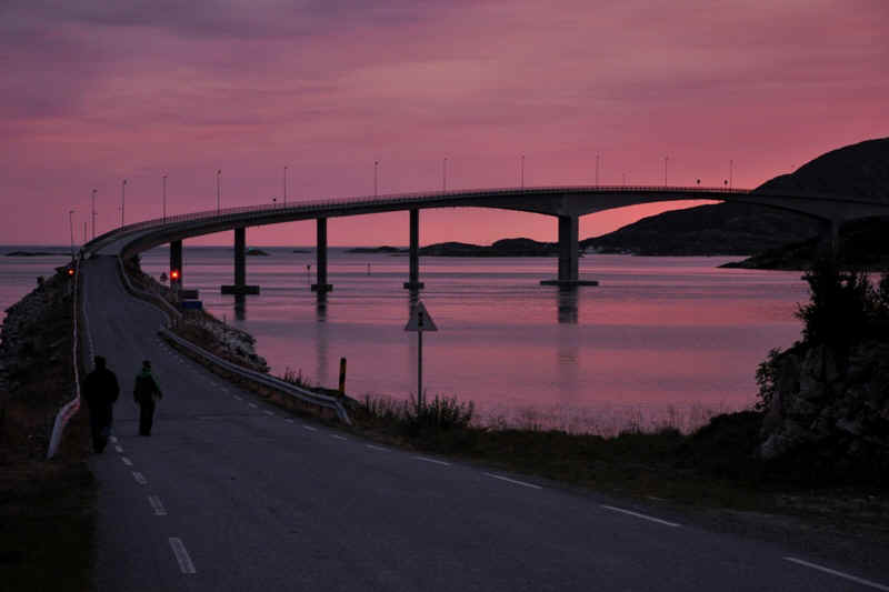
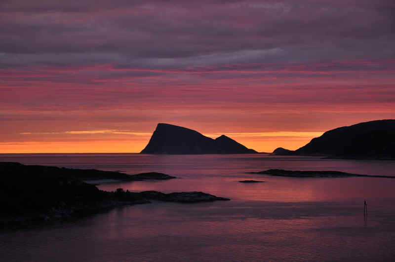
11.47 pm.
This is cheating, as it was taken in the museum at Tromso, but the island is familiar.
Sommeroy from the mainland late afternoon.
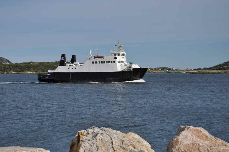
The ferry we took to cross to Senja Island en route to the Westeralen.
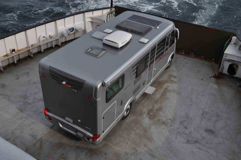
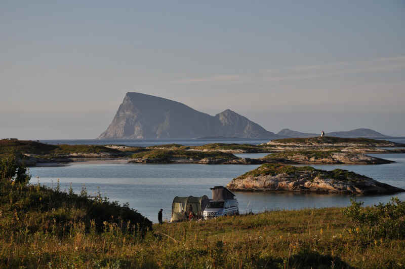
Birds eye view of our home.

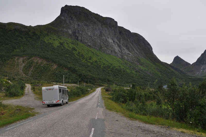
On Senja
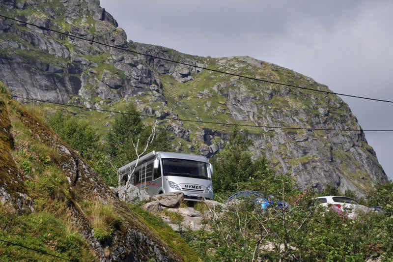
Very narrow roads,
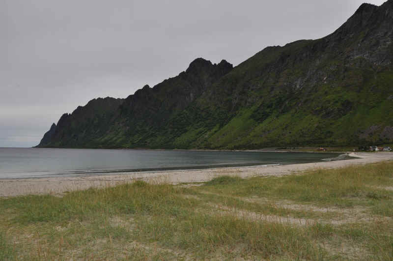
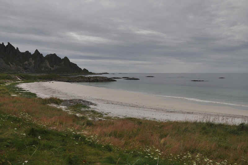
and nice beaches.
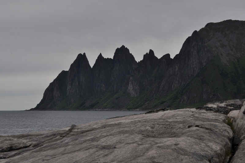
Rugged coastlines.
The next ferry from Gryllefjord on Senja to Andenes on Andoya Island.
Andoya
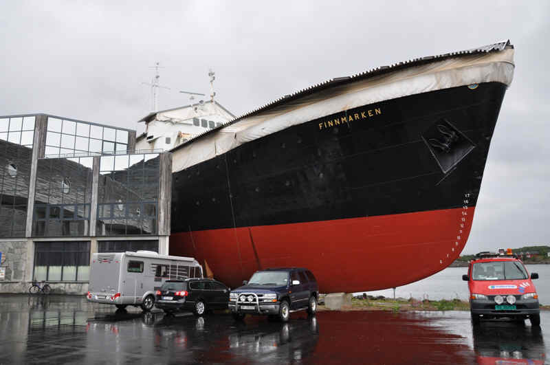
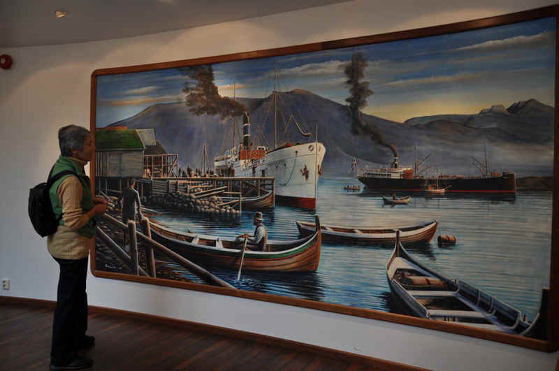
Hürtigruten Museum at Stokmarknes
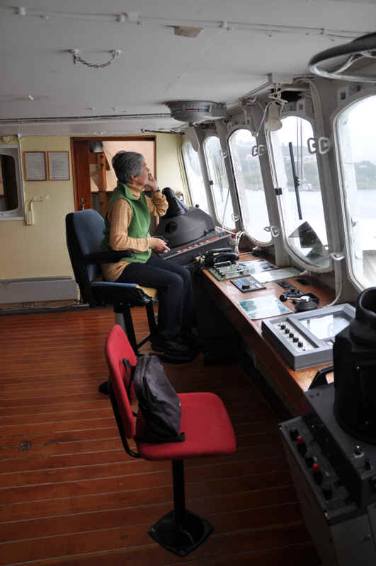
This is your captain speaking!
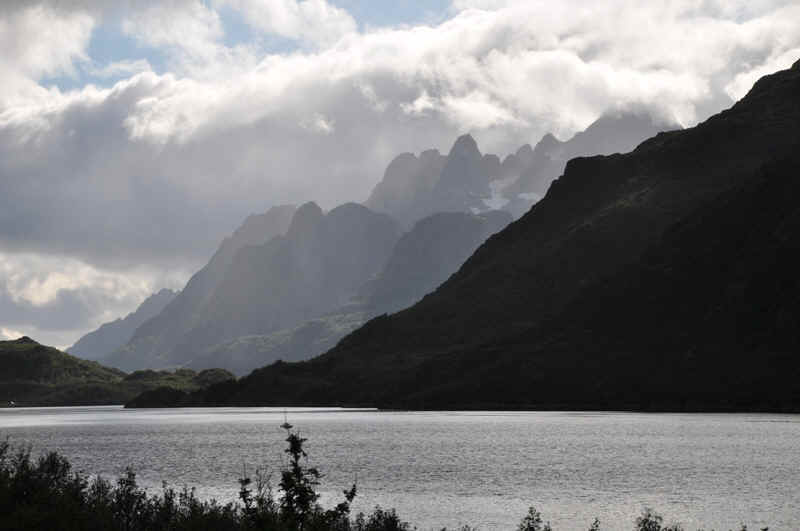
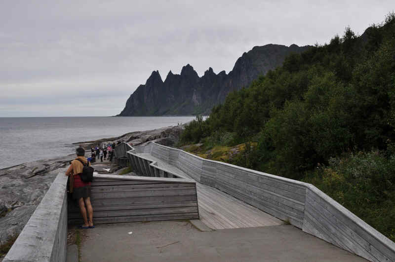
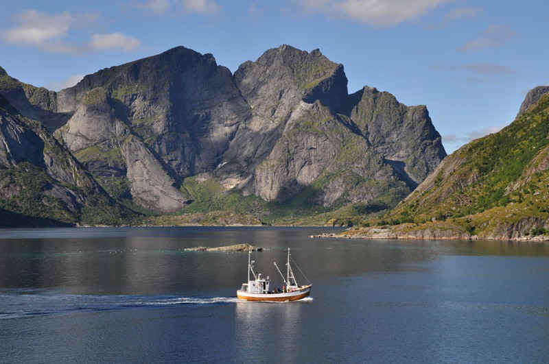
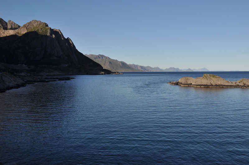
Raft Sound, Lofoten
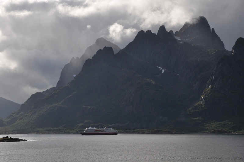
Hürtigruten leaving Trollfjord.
Austnessfjord
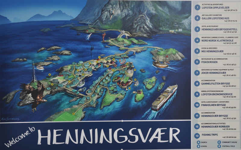
Near Henningsvaer
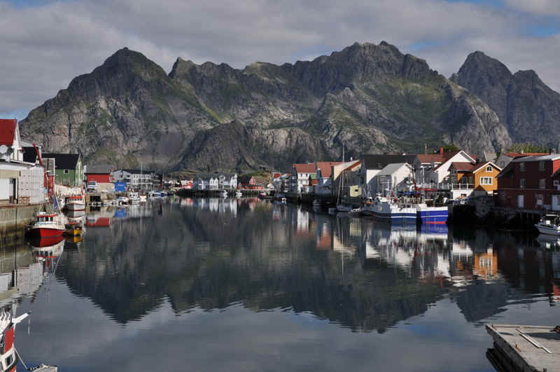
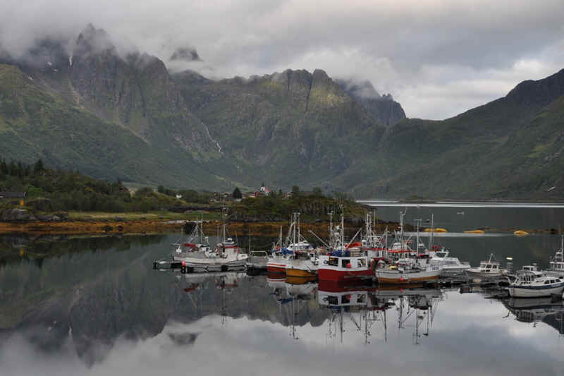
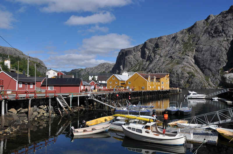
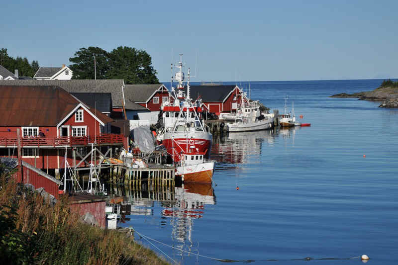
Henningsvaer harbour
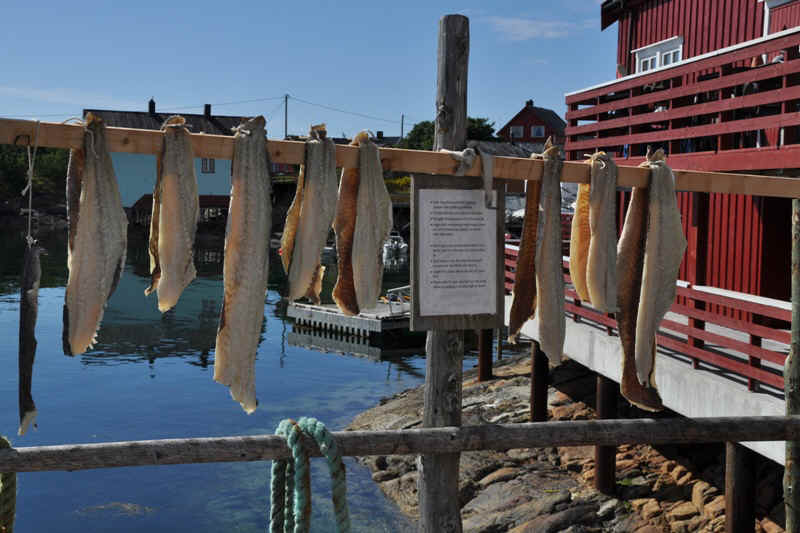
Cod drying
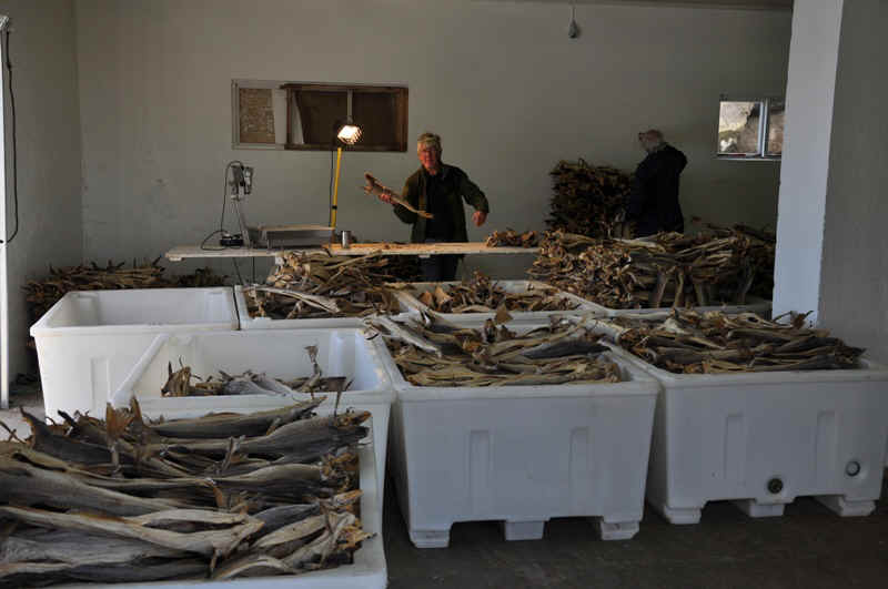
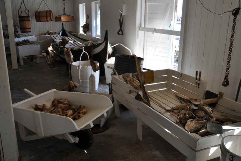
Sorting dried cod
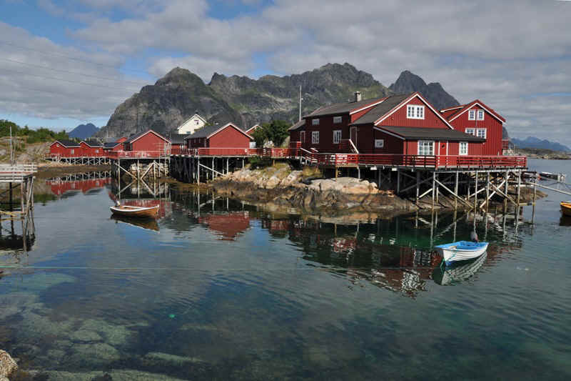
More of Henningsvaer.
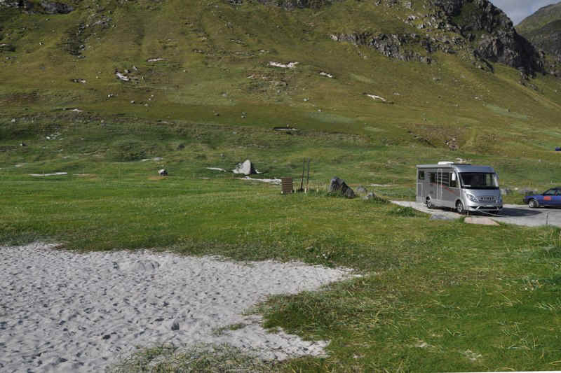
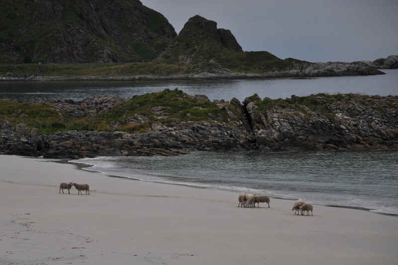
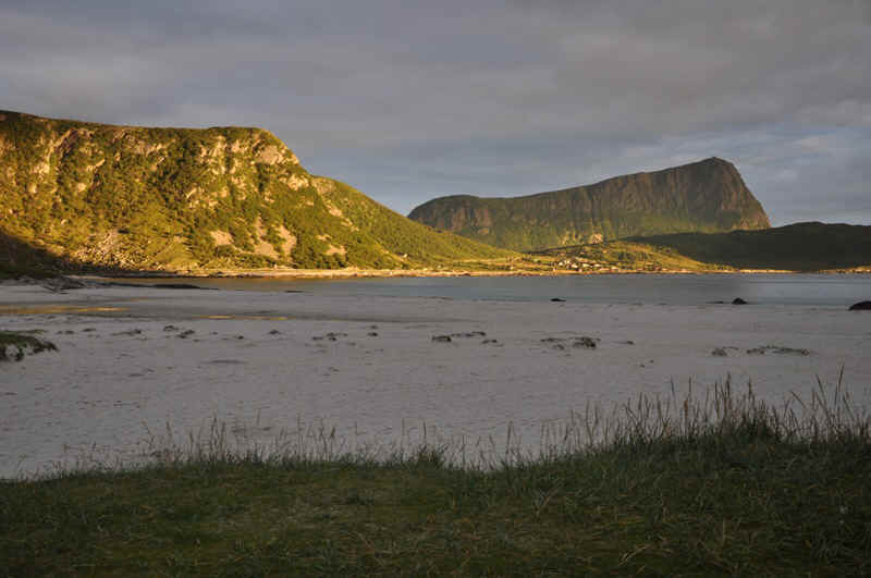
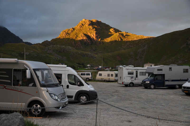
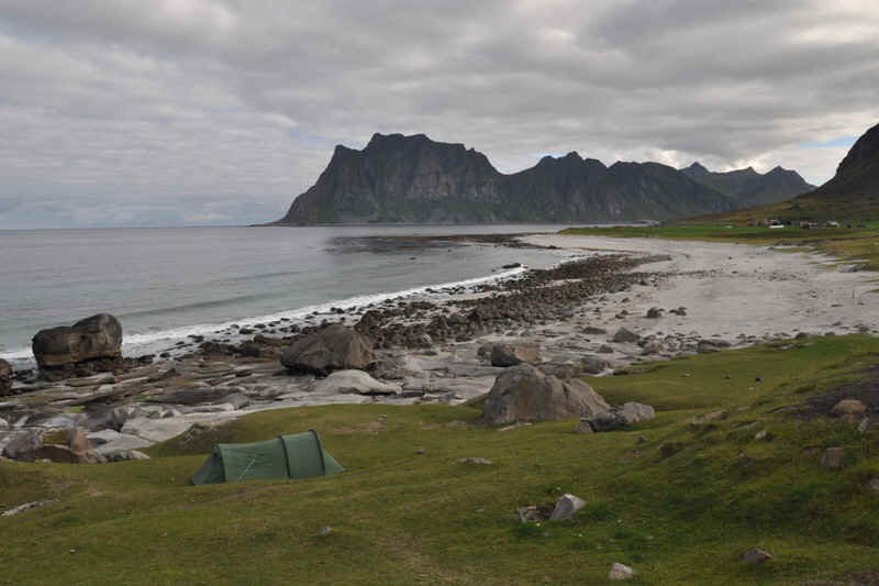
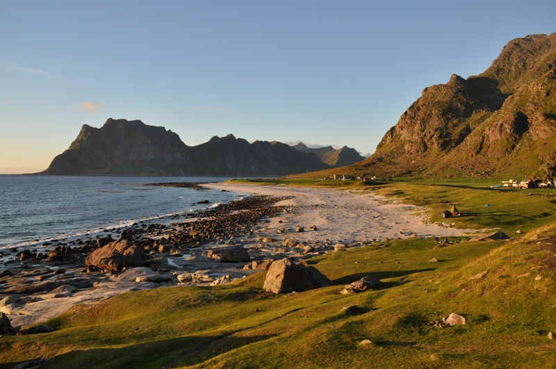
Parked by the beach at Haukland
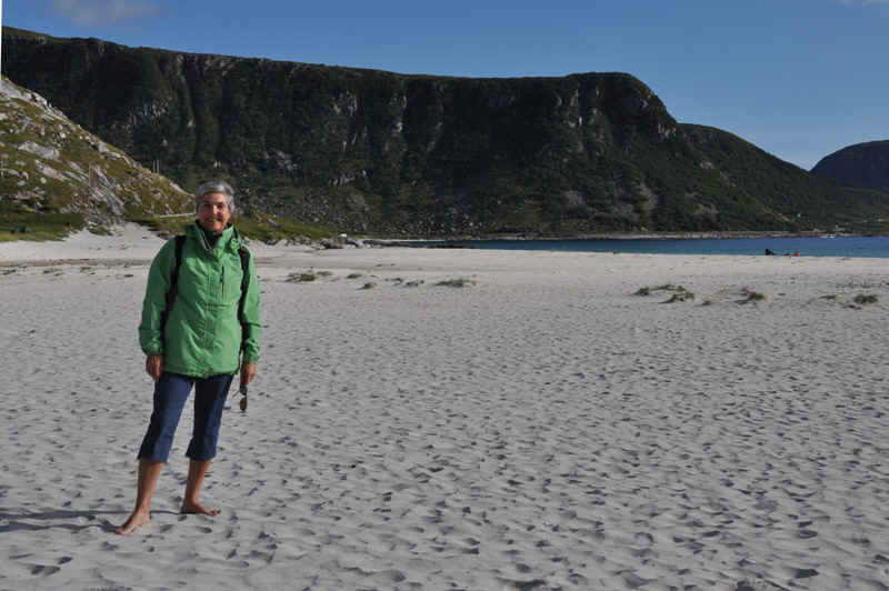
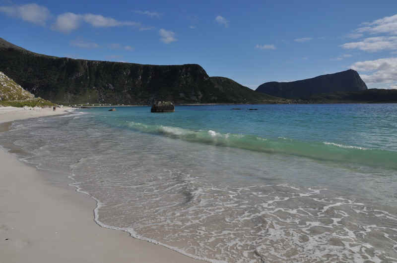
Haukland beach.
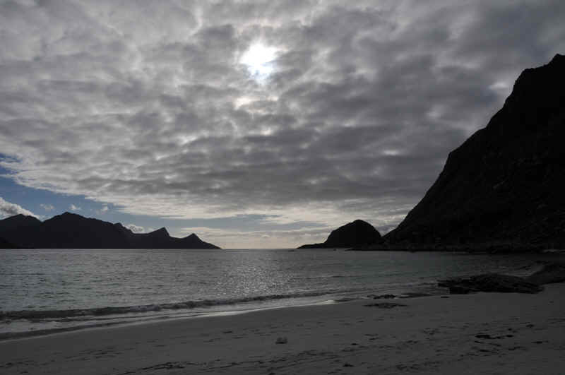
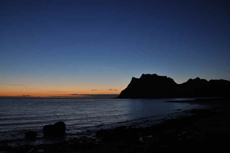
9.08 pm
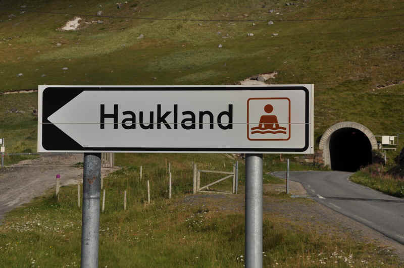
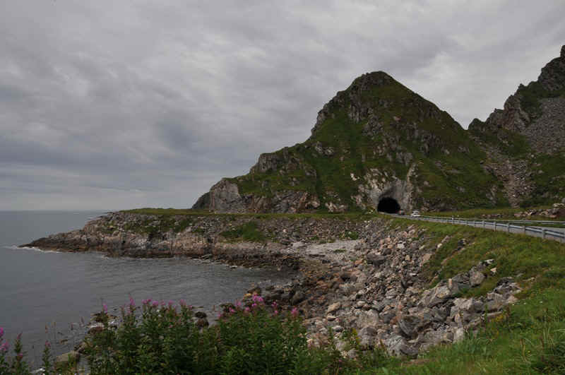
Tunnel through the hill to Uttakleiv
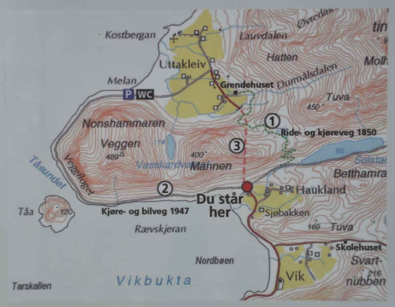
The green dotted line 1, is the original track from 1850, then they built the road 2 in 1947, before the tunnel 3.
Uttakleiv beach
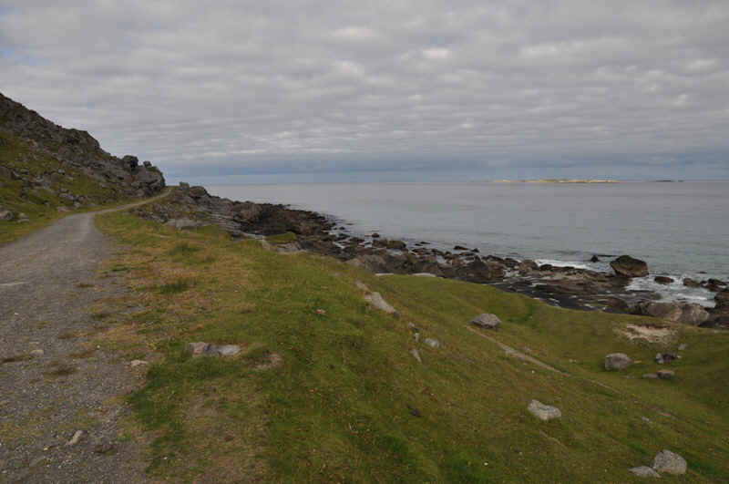
The old road round the point, now a walking and biking track.
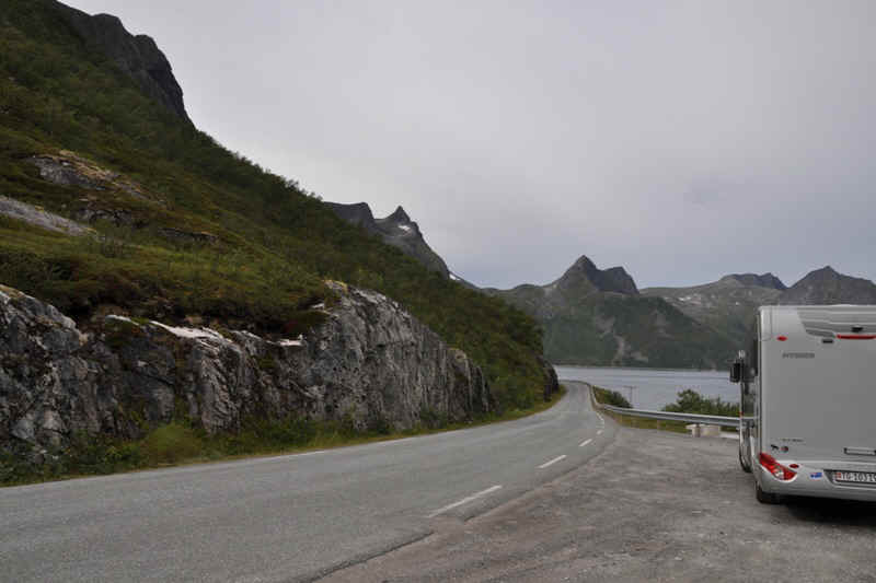
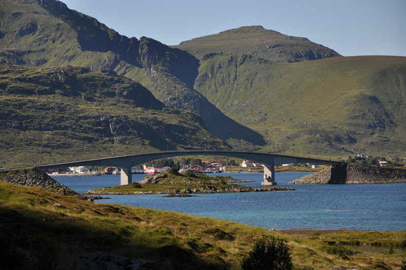
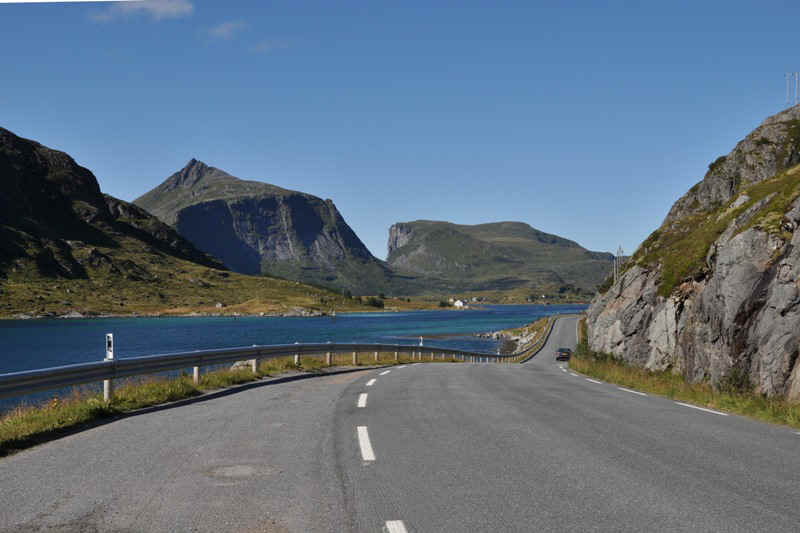
Heading South through the Lofotens.
Nussfjord
Park place at Nussfjord.
Nussfjord
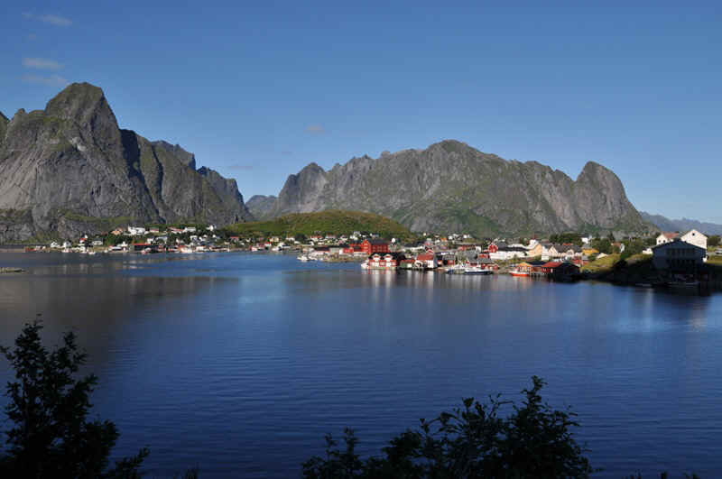
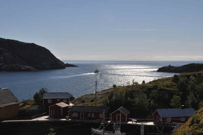
Hamnoy
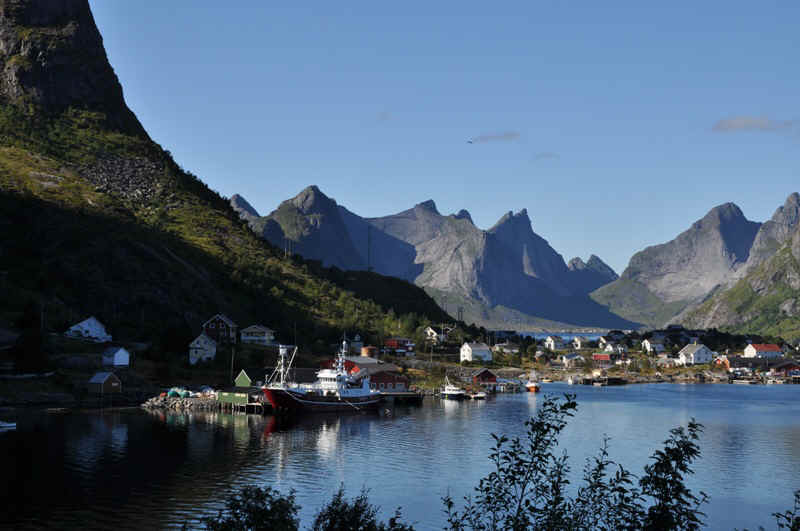
Reine
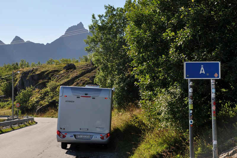
Ĺ
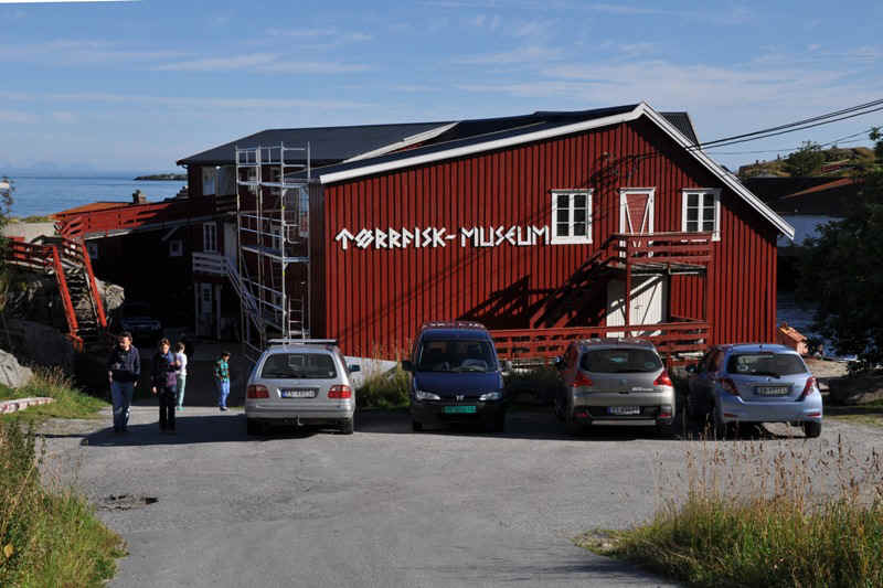
Dried fish museum at Ĺ
Reine
Back at Uttakleiv to overnight
00.20, but the sun is behind the mountain.
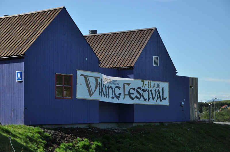
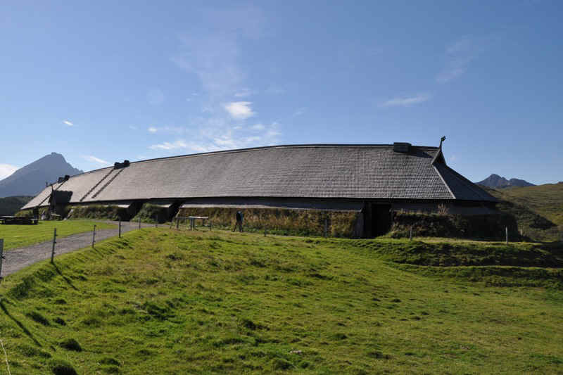
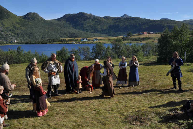
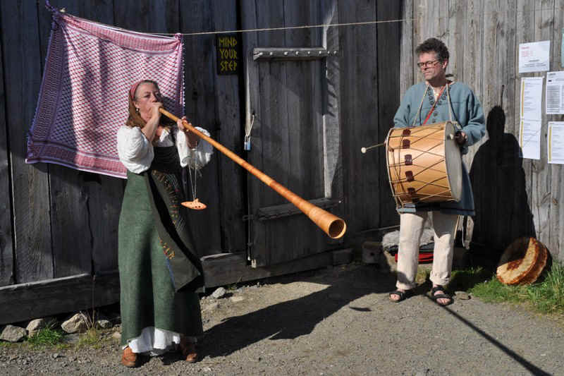
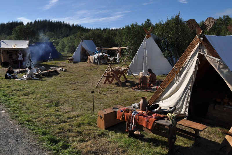
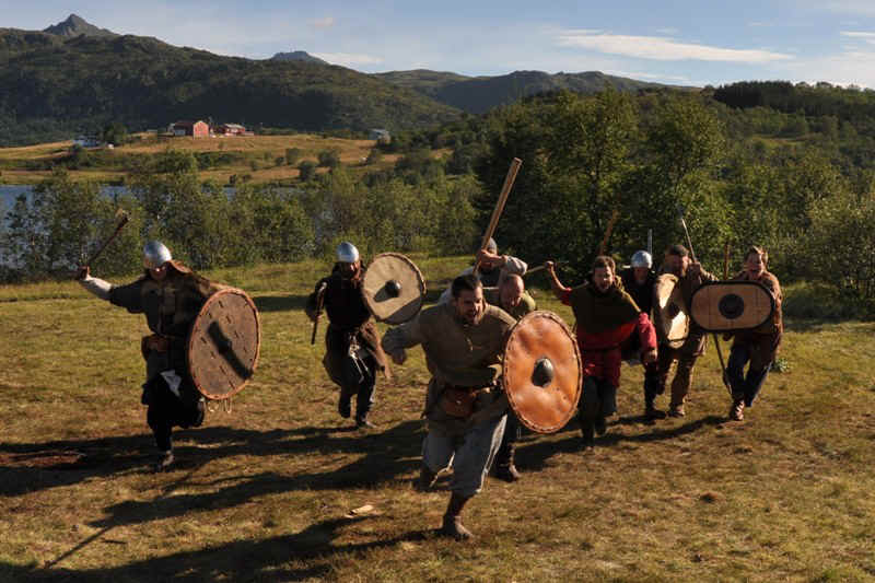
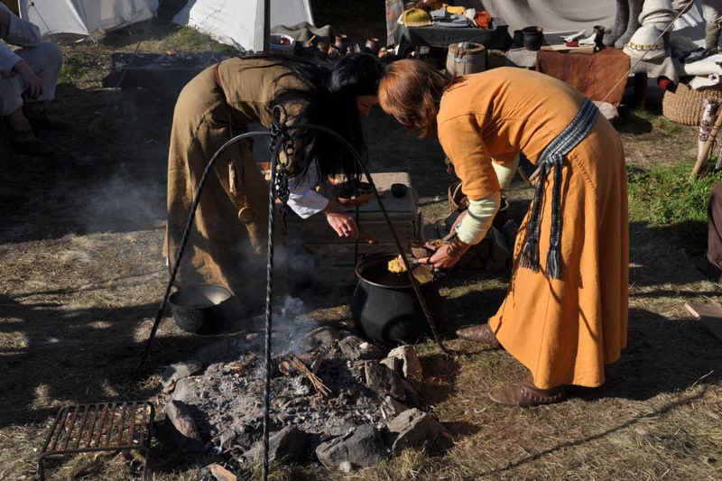
Viking festival at the Viking Museum in Borg

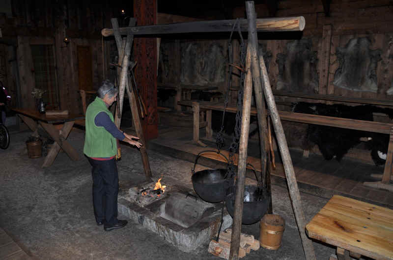
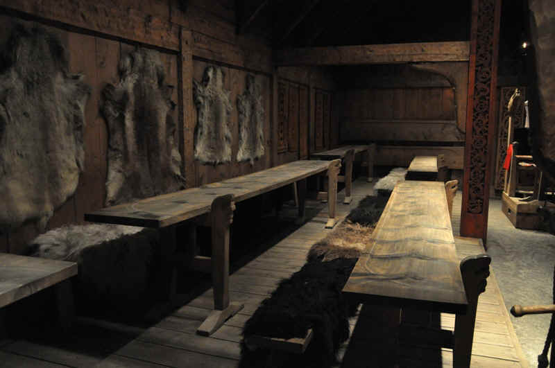
Reconstructed Viking longhouse
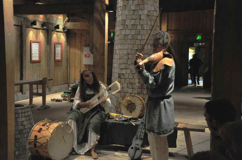
Old instruments, but not as old as the Vikings.
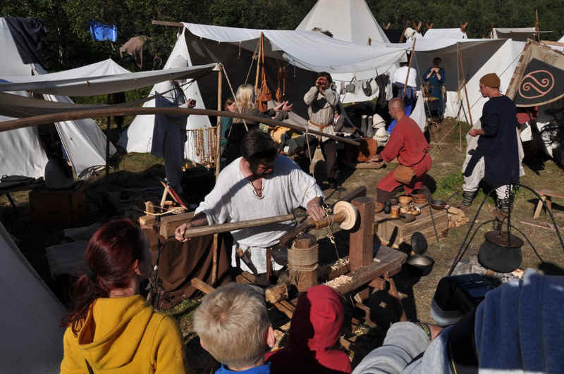
Part of the Viking festival.
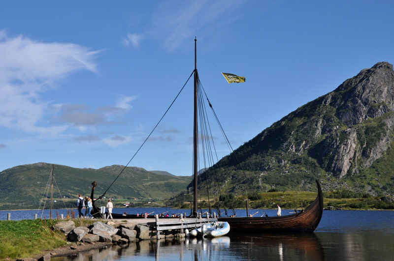
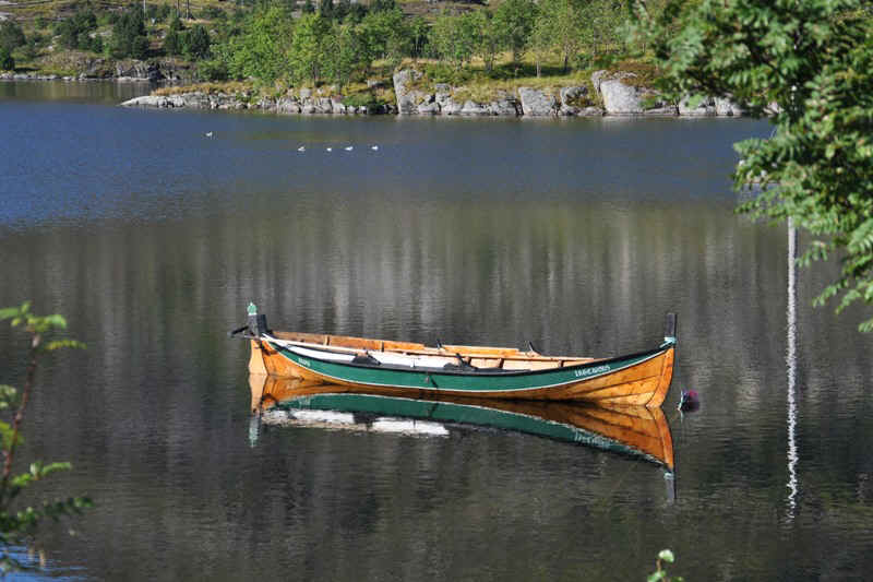
Reconstructed viking boat,
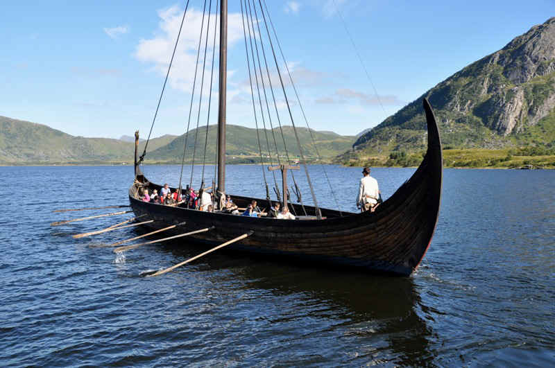
with willing crew.
My last photo!!
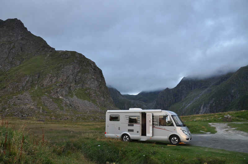
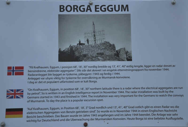
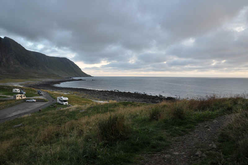
Our next overnight was by the beach at Borga Eggum
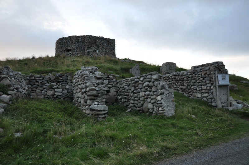
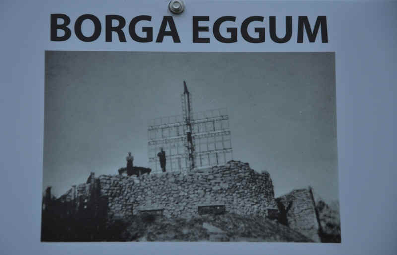
Which had been a German radar station in the second world war.
After this we took the ferry back to the mainland.
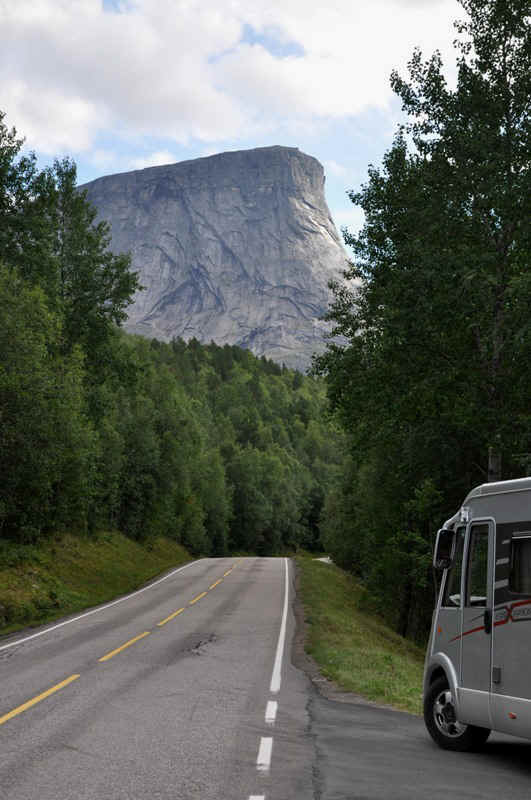
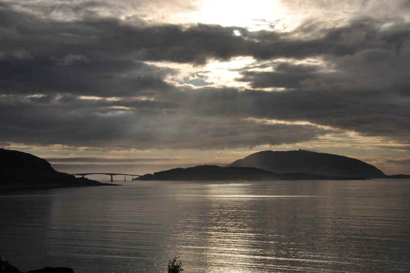
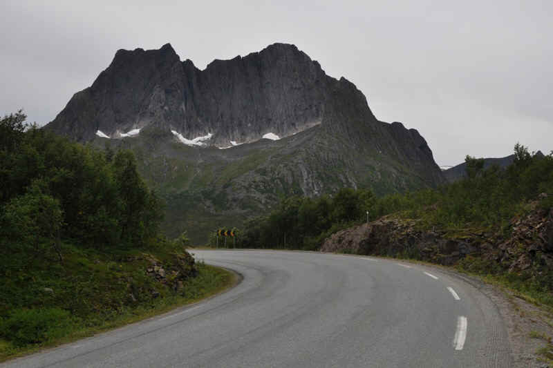
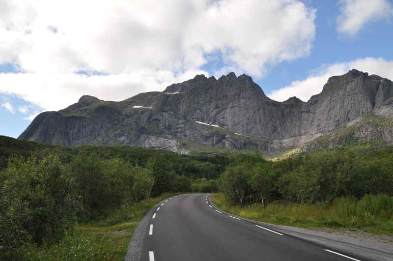
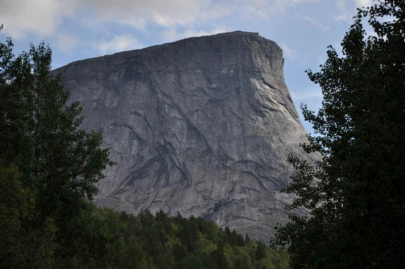
This was a rather impressive mountain on the road south.
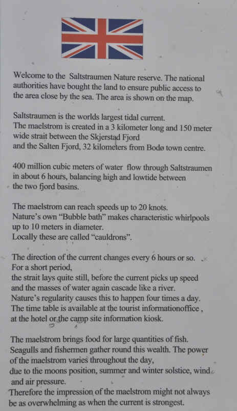
We then visited the Saltstraumen just South of Bodř.
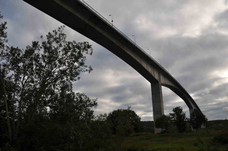
This is the bridge that spans the straight with the current.
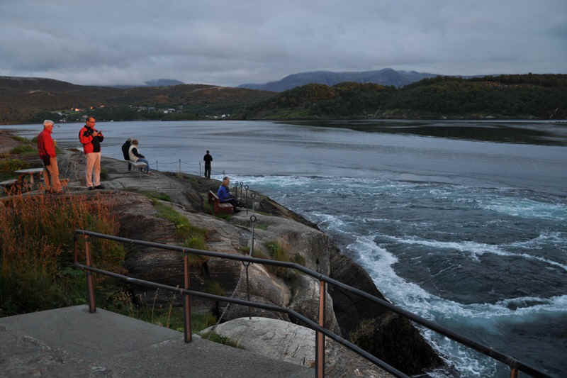
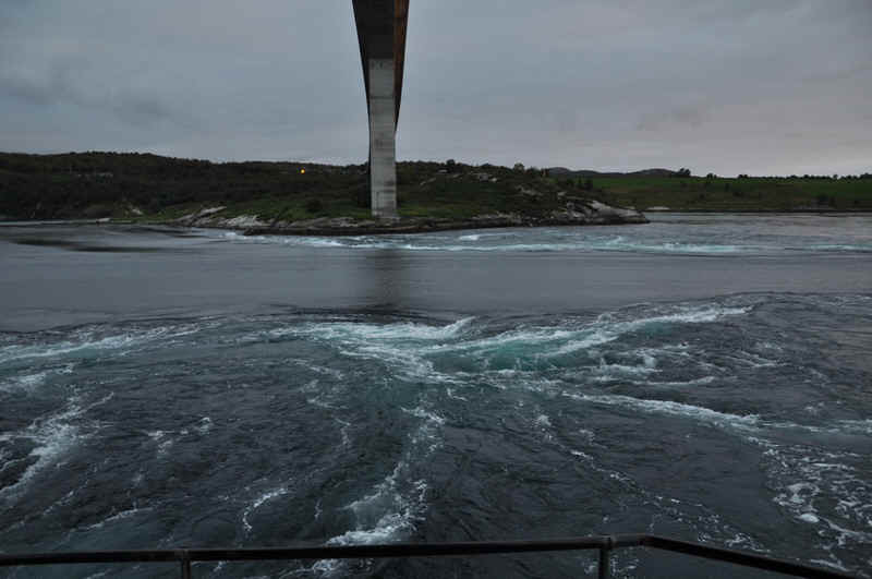
Currents with speeds of up to twenty knots,
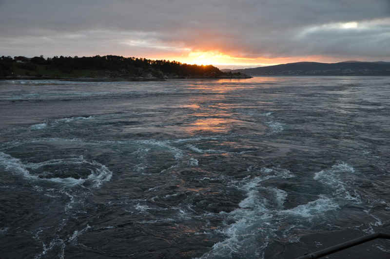
and huge whirlpools.
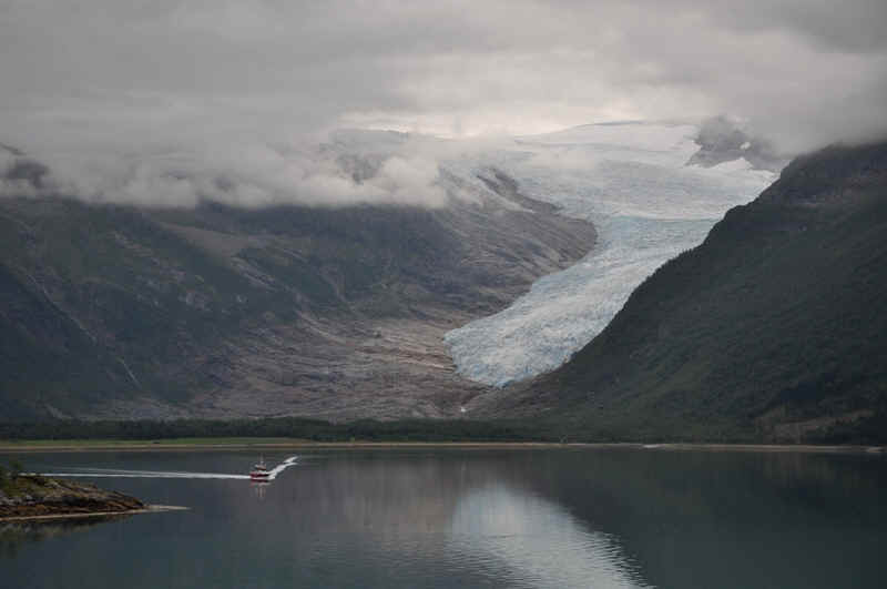
Svartisen Glacier
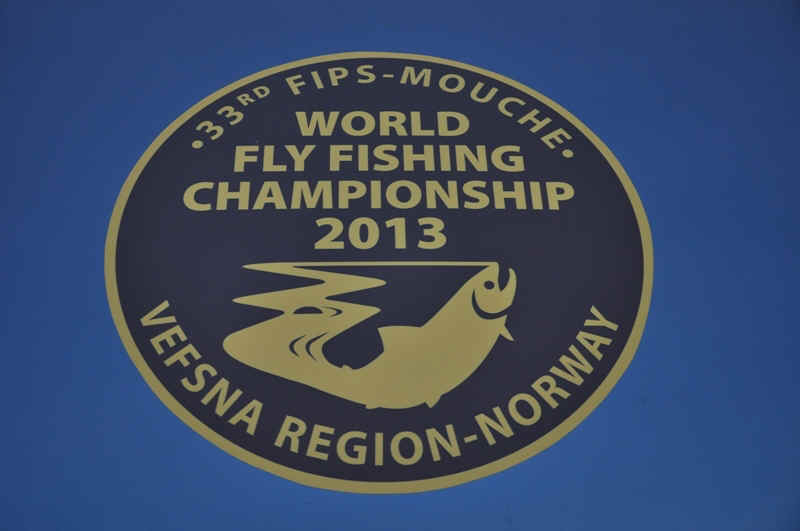
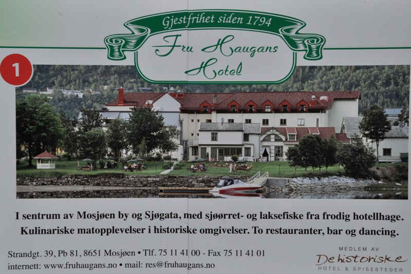
Fly Fishing World Championships at Mosjřen
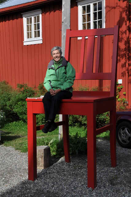
A big seat!
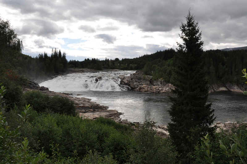
Rapids in a river just south of Mosjřen
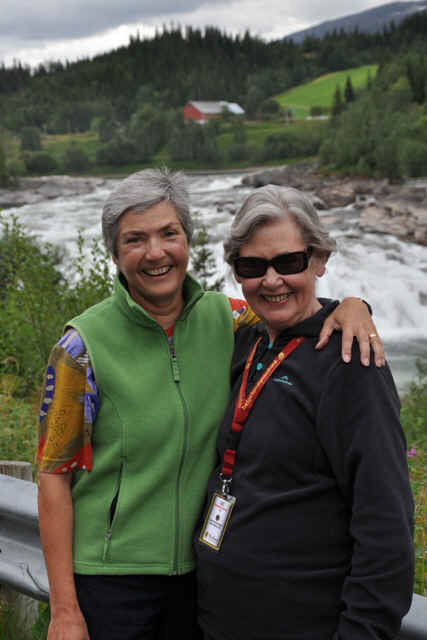
Where we met Barbara again just by chance!
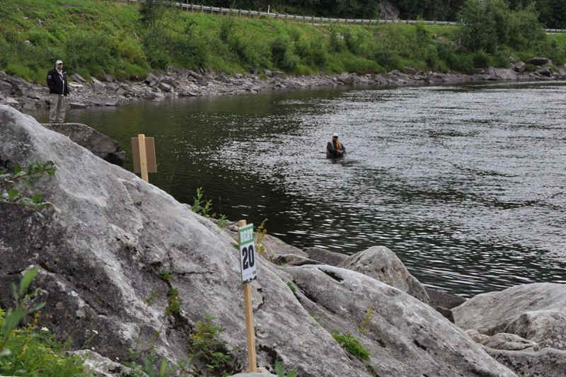
One championship area,
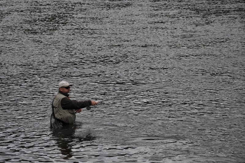
and a participant.
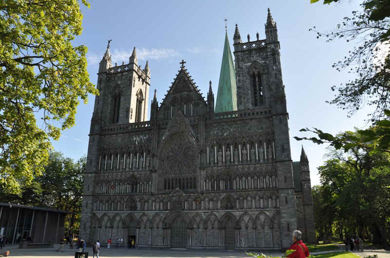
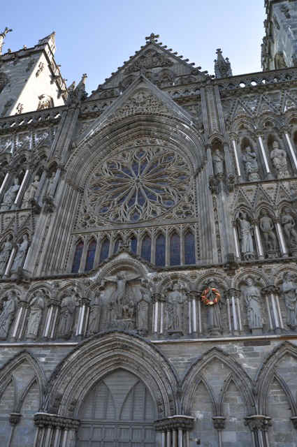
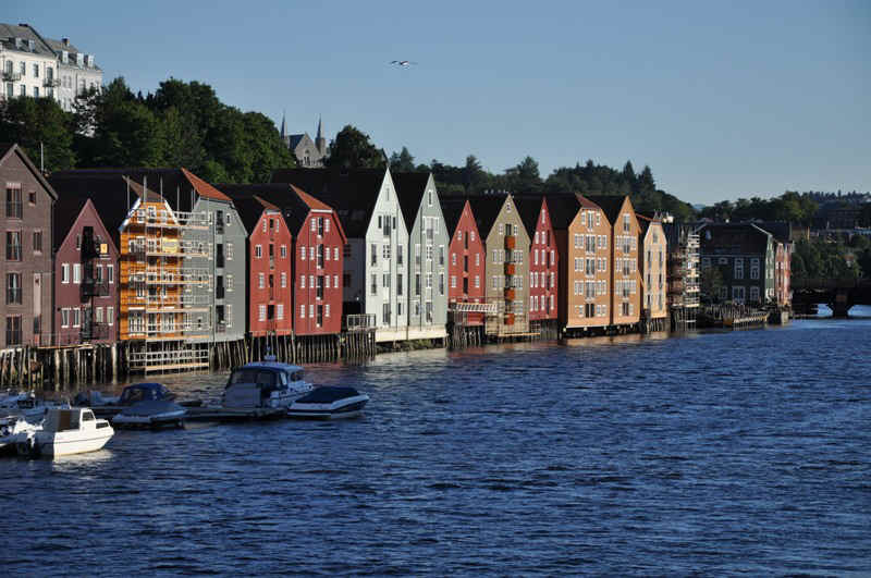
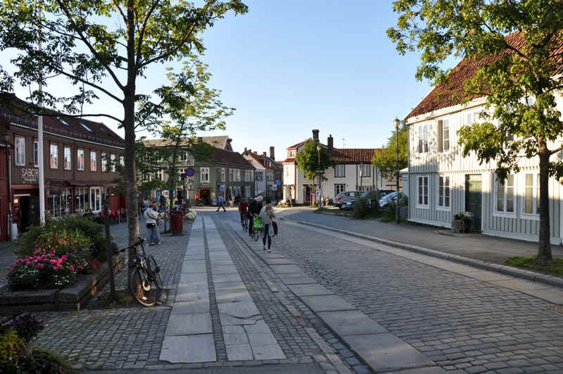
Cathedral at Trondheim.
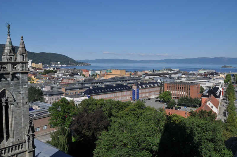
View of Trondheim and fjord from the Cathedral.
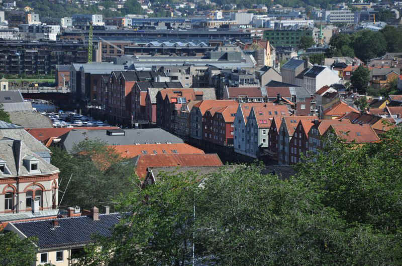
Old wharf buildings from the Cahedral.
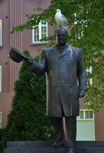
The hat trick.
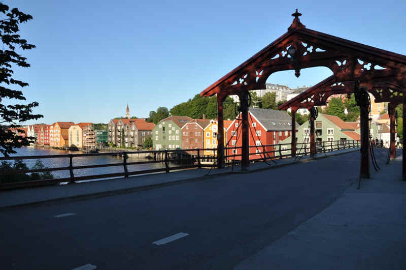
Old opening bridge.
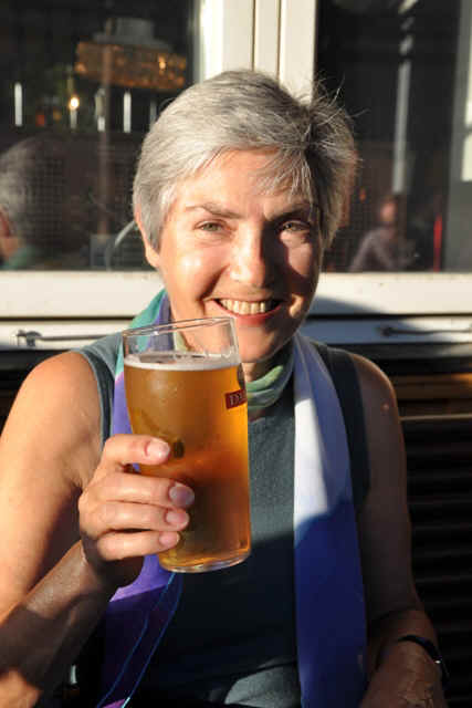
Prost
![]()