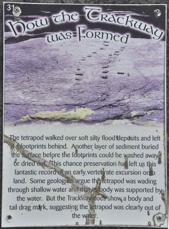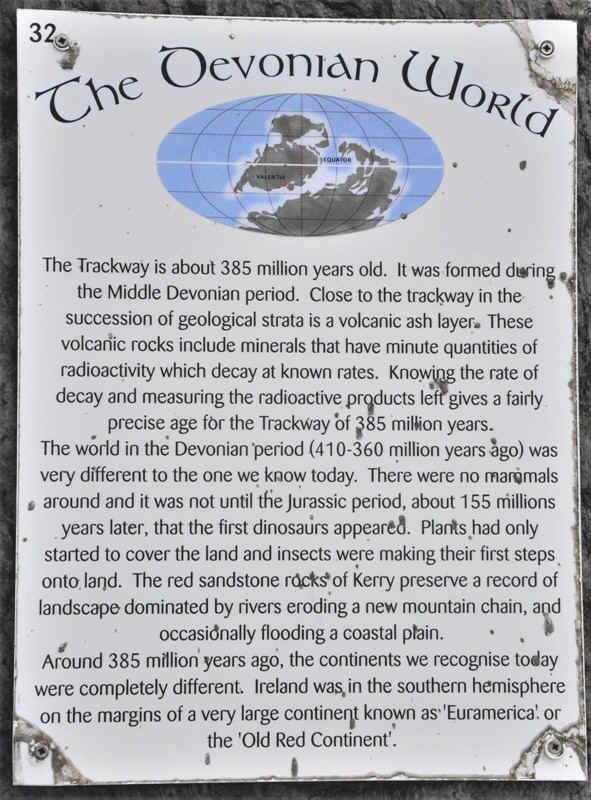
![]()
![]()
![]()
|
|
|
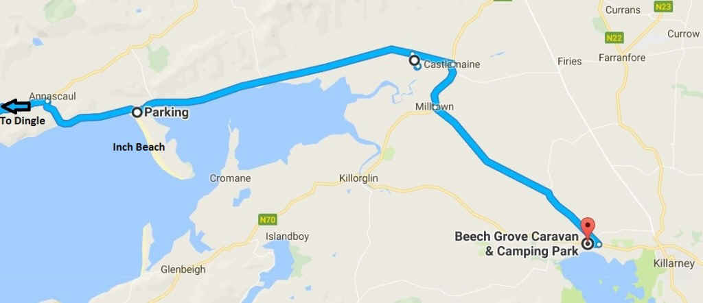
Day 7 a Start of tour of Dingle Peninsula
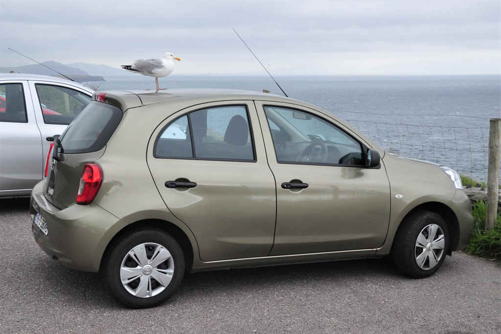
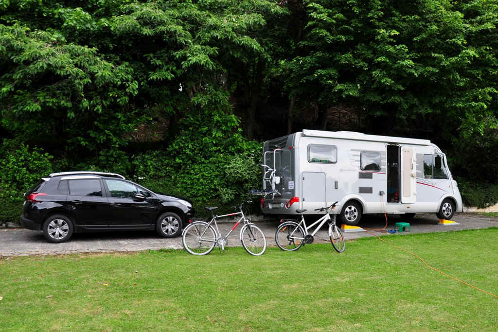
Our hire car worked out very well.
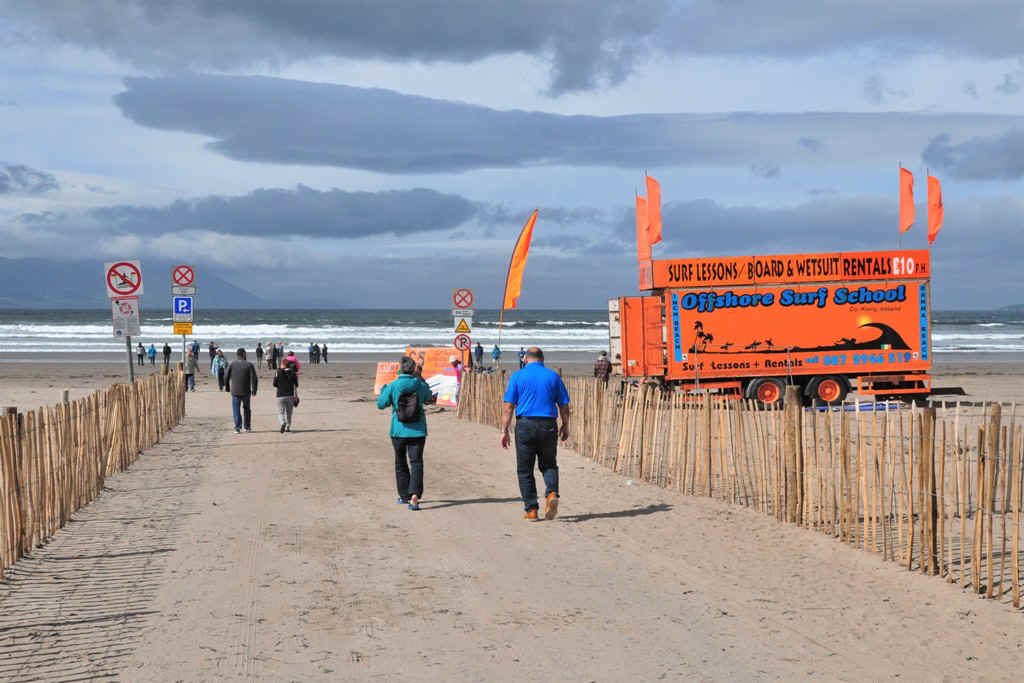
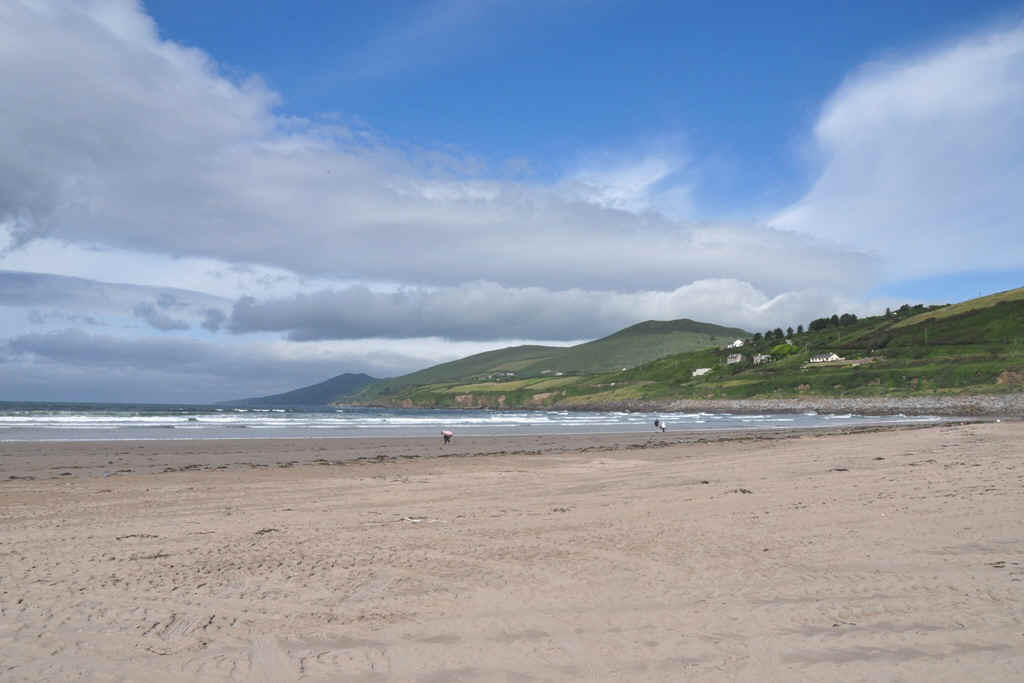
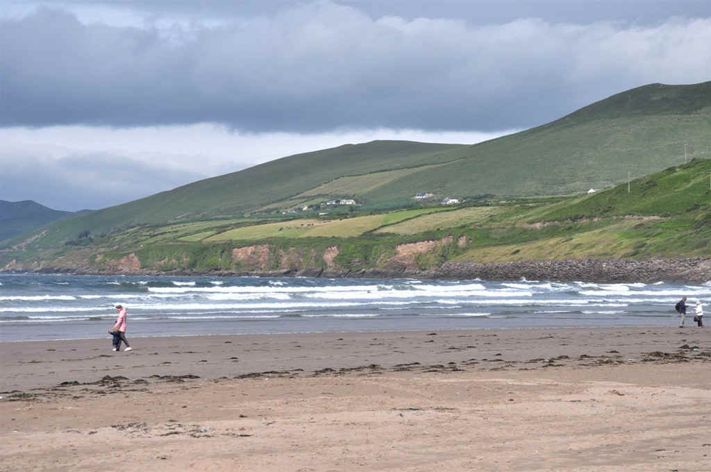
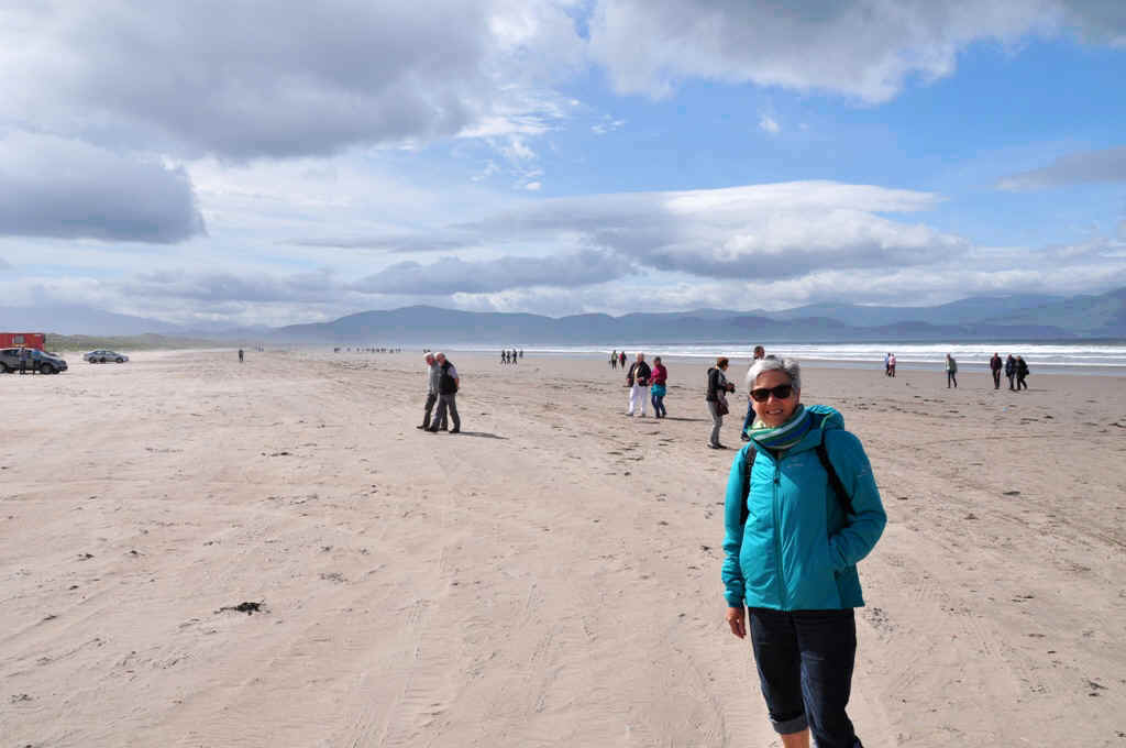
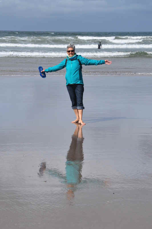
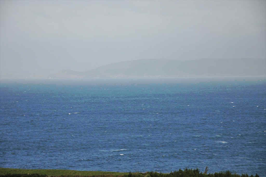
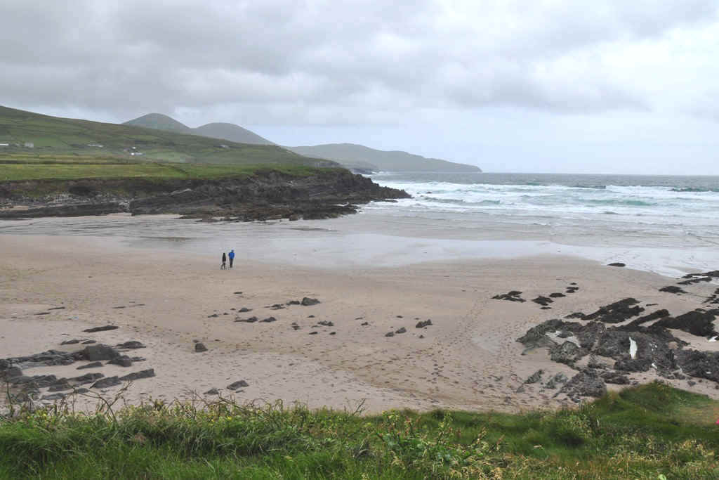
Arriving at Inch Beach
Looking North West
Inch Beach. At 5 km long, one wonders where it got its name Inch or Inse meaning Sea Meadow (Oilean Inse - Island of Inch) Inch is derived from the Irish word Inse, the genitive case for Inis, meaning Island. From this linguistic artefact, we can see that at one point in the distant past, Inch beach started out as an island in Castlemaine Harbour.
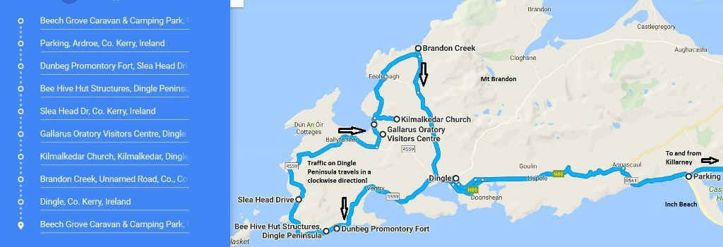
Day 7 b Tour of Dingle Peninsula We followed Slea Head Drive, but please note that the traffic flows in a clockwise direction as marked on the map. We had trouble with a bus on Slea Head which met a German fellow in a motorhome who was travelling in the wrong direction. There is not enough room to pass.
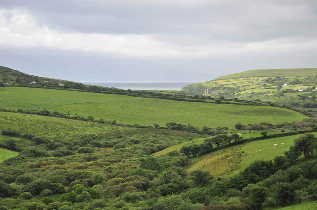
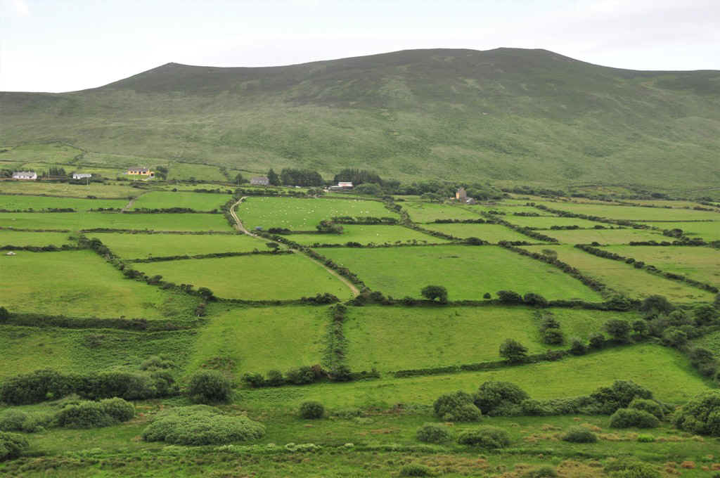
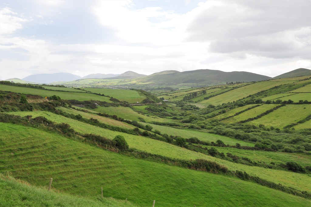
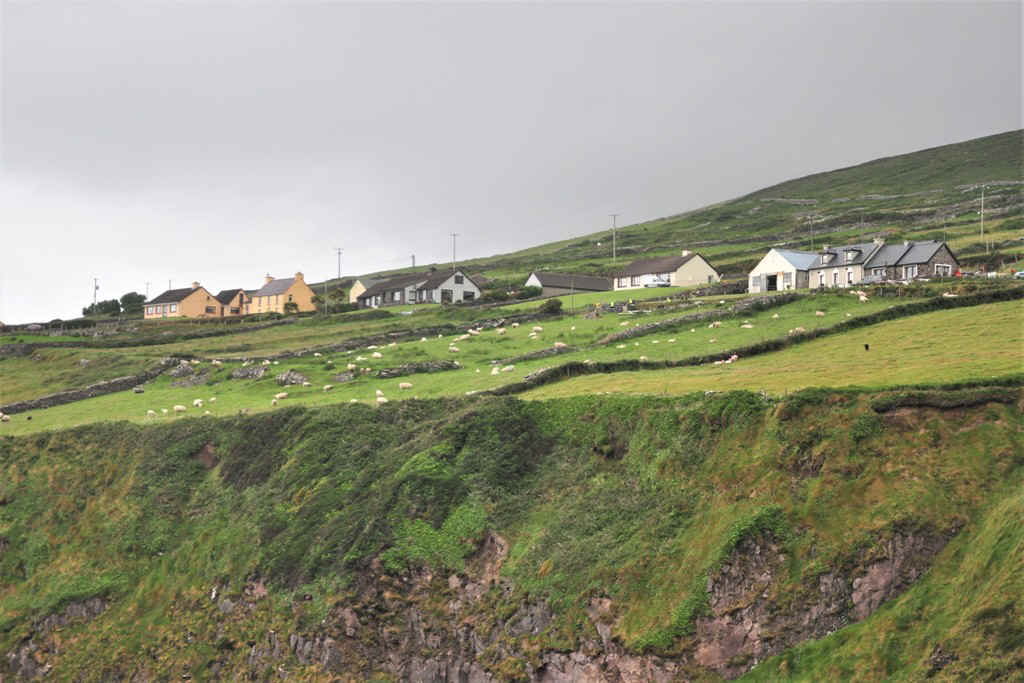
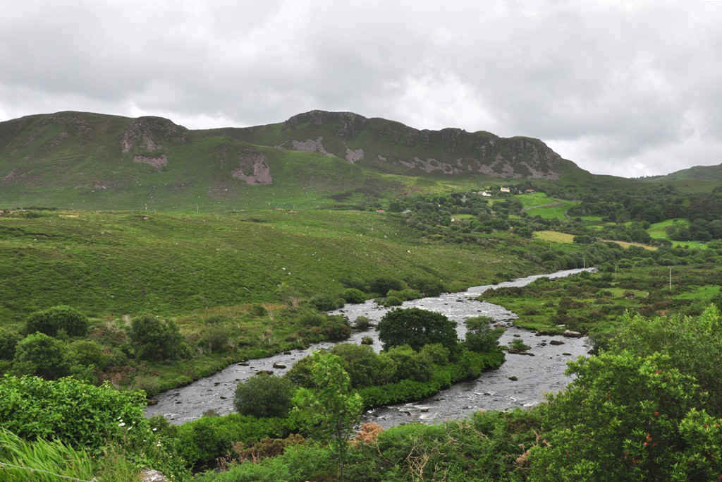
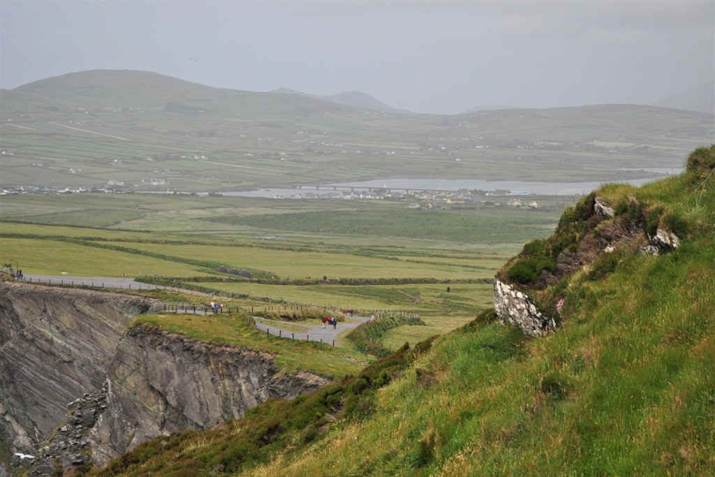
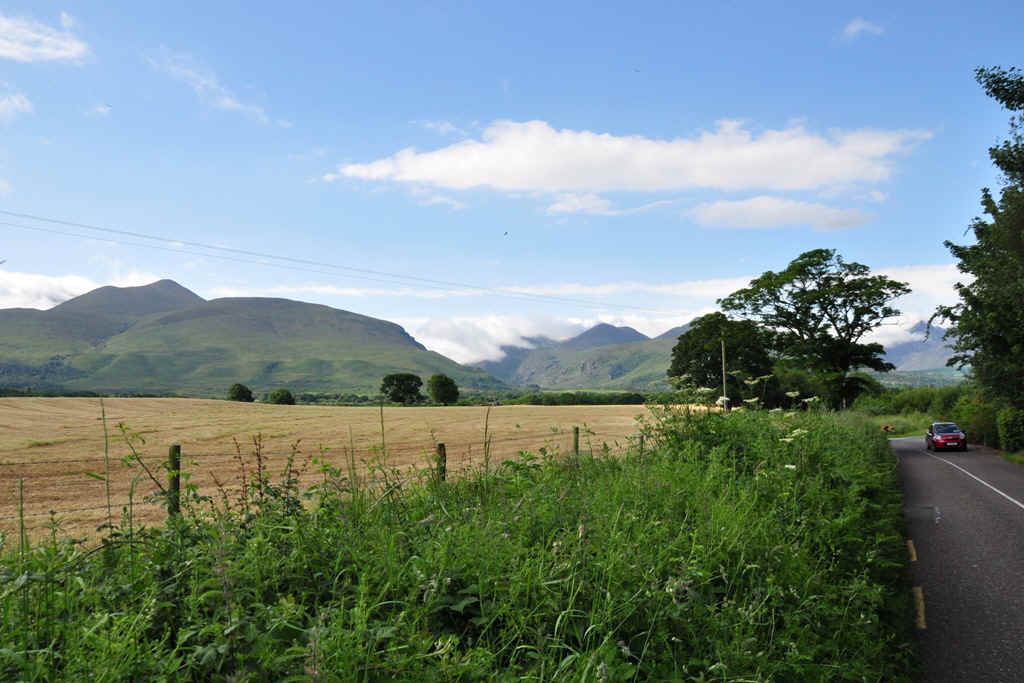
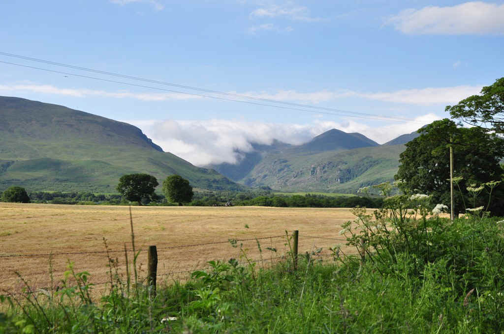
From Inch Beach we drove towards Dingle through very picturesque landscape.
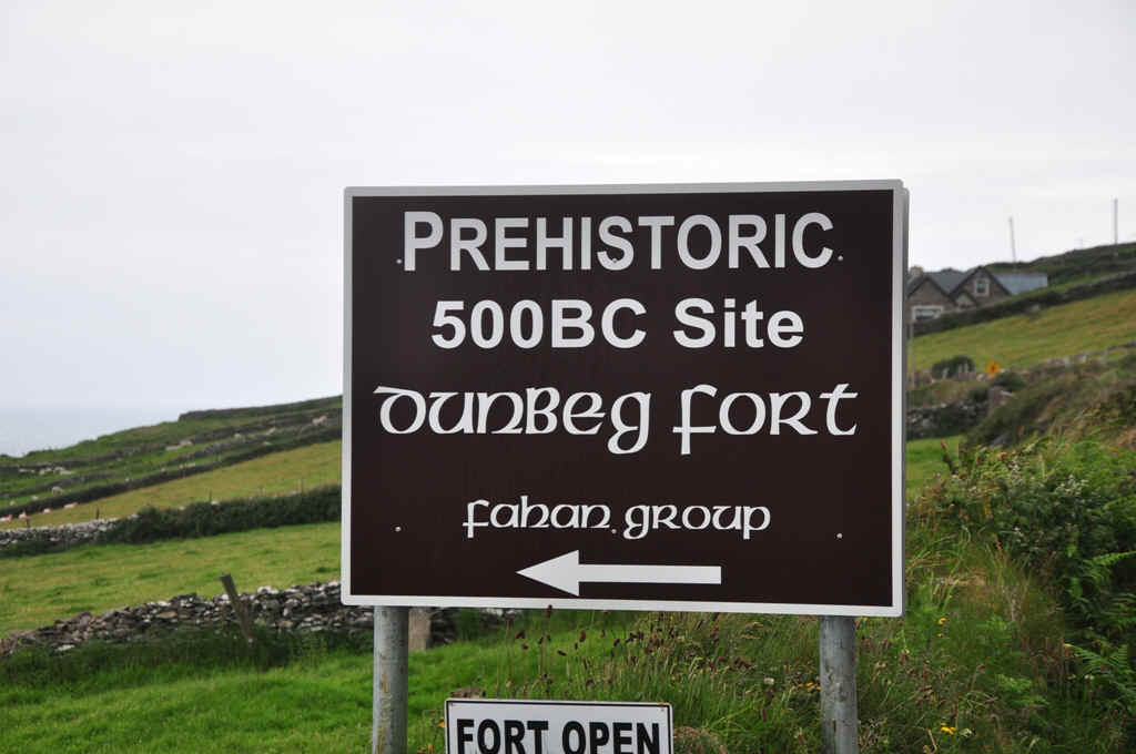
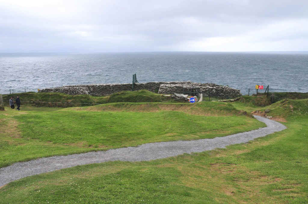
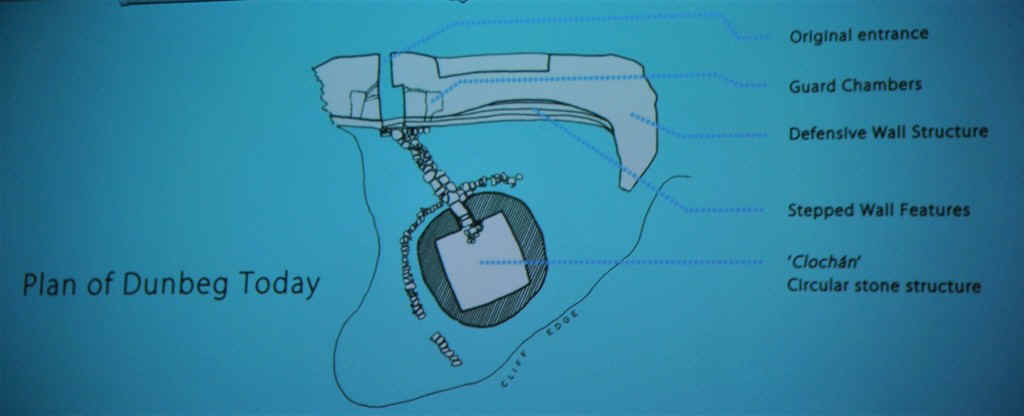
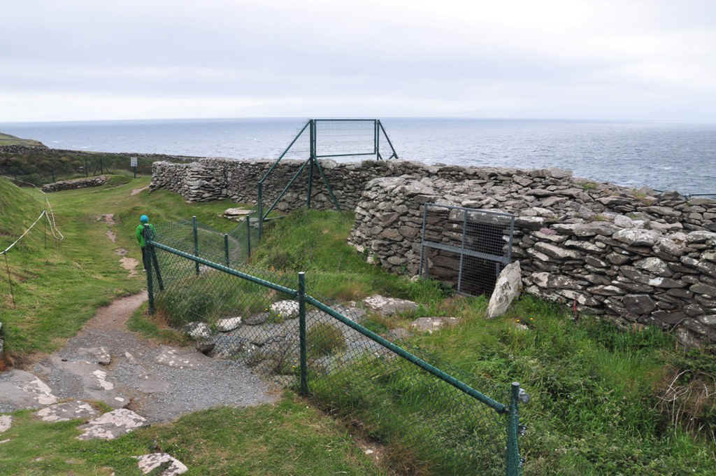
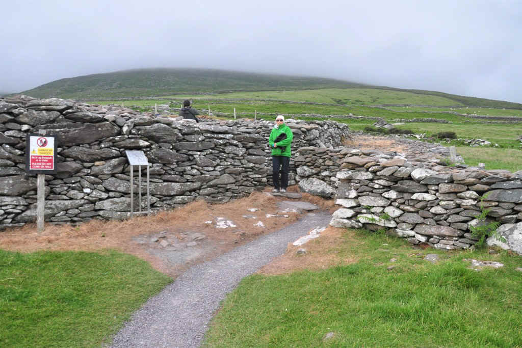
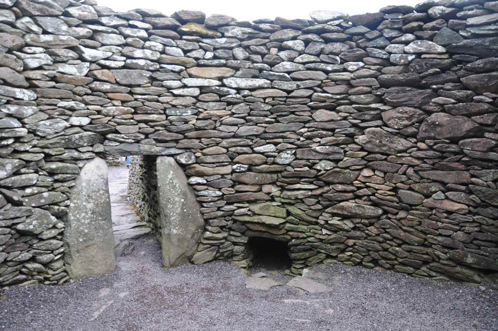
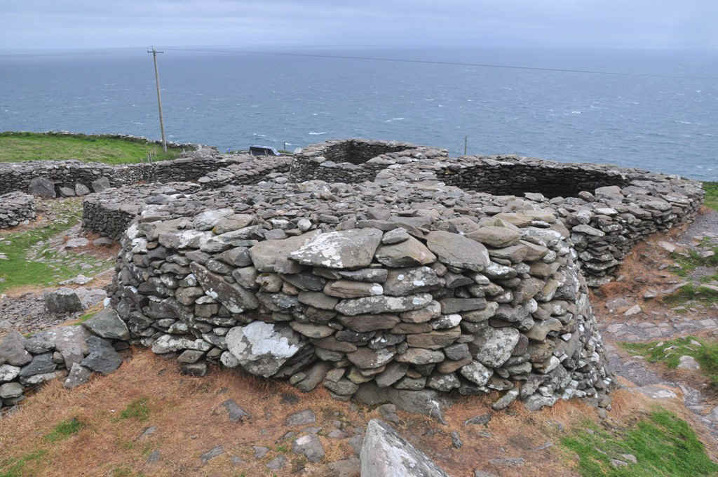
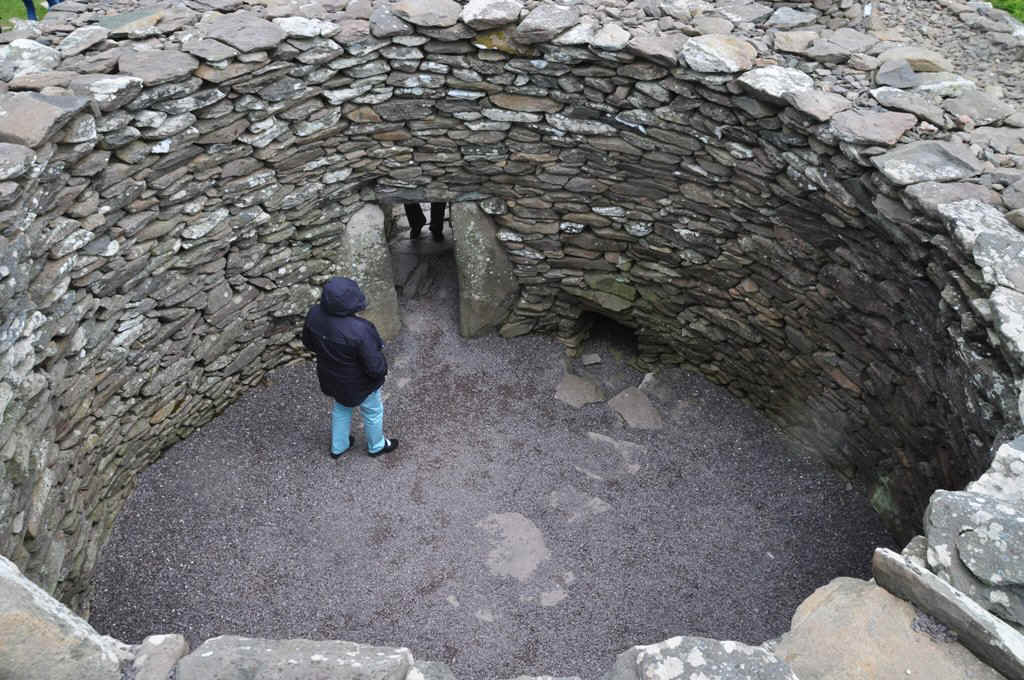
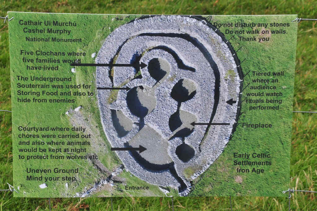
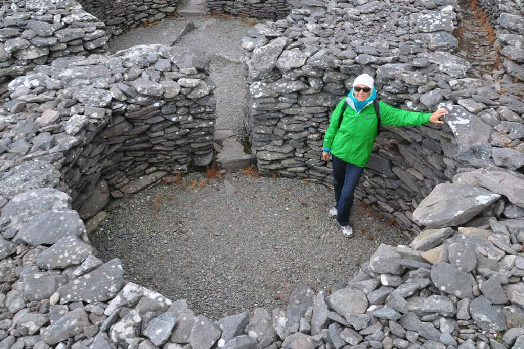
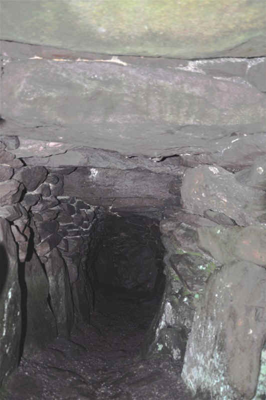
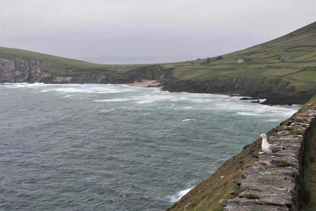
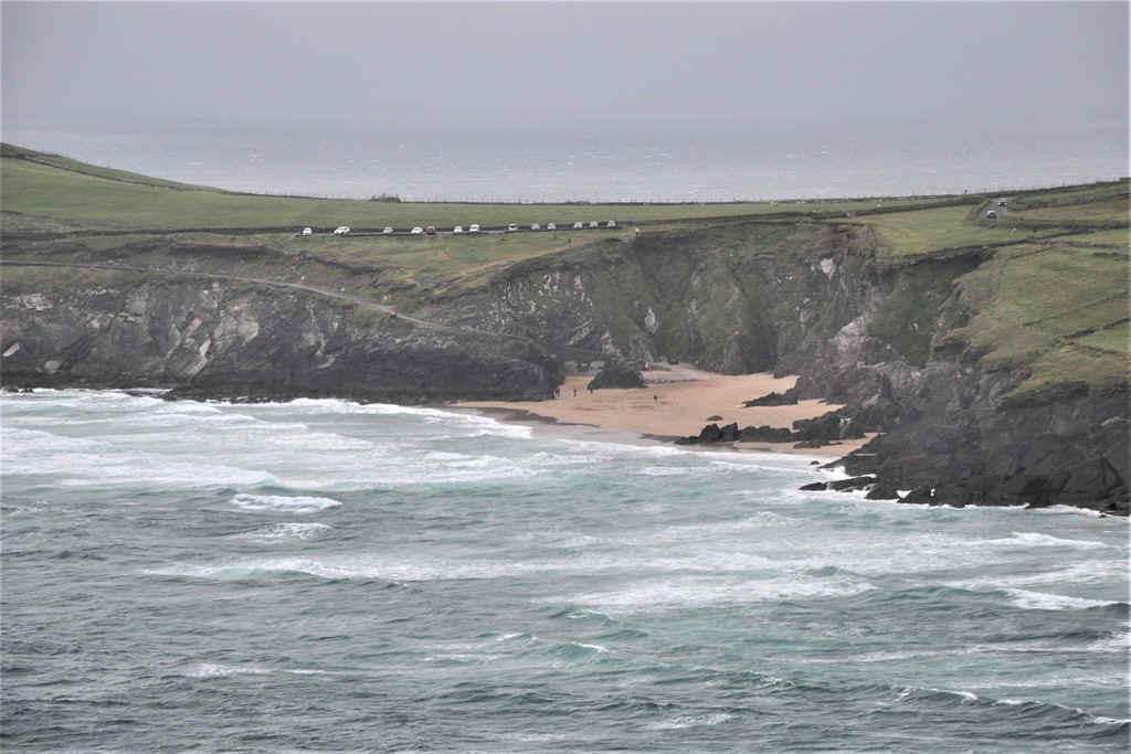
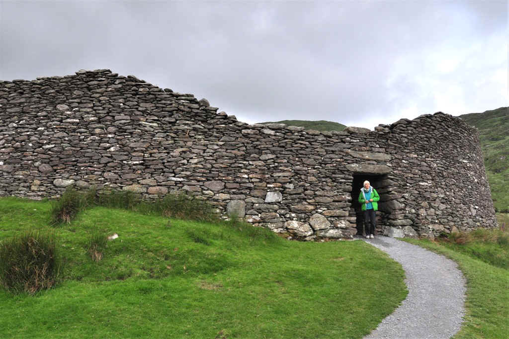
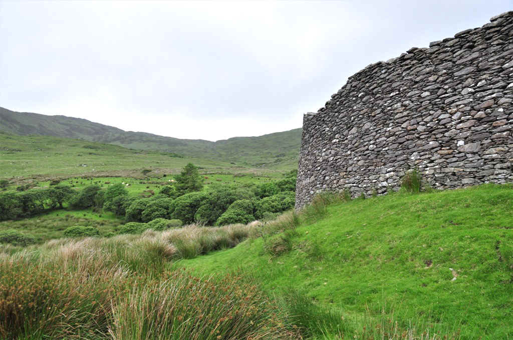
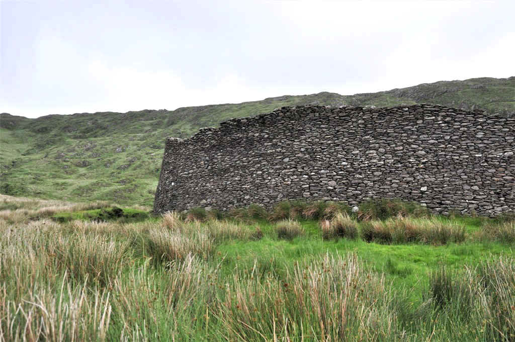
We went through Dingle and continued on the Slea Head Drive to visit Dunbeg prehistoric Fort
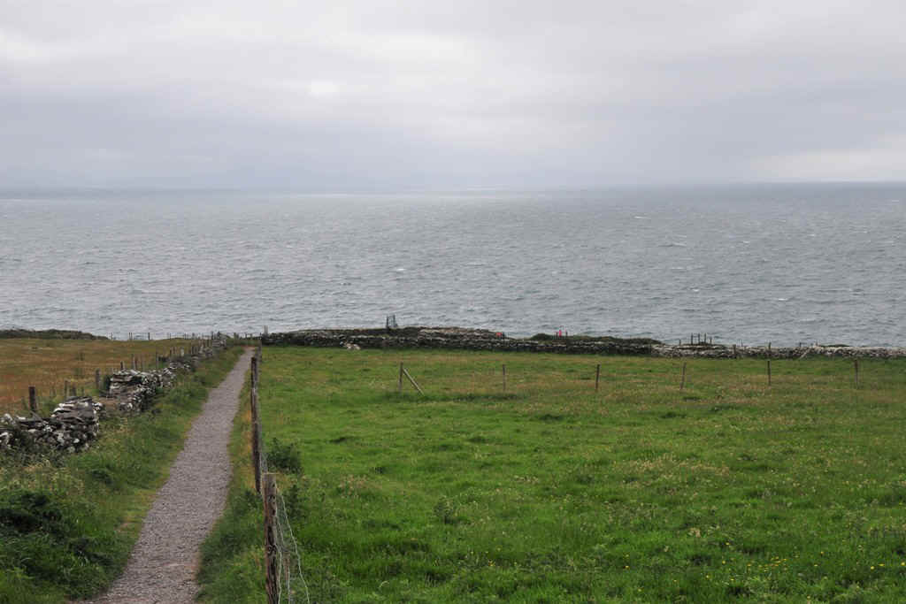
The path down to the Fort.
Looking back towards the village
Looking back on the fort.
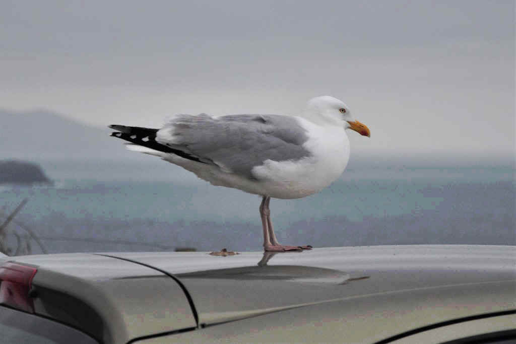
Large seagulls!
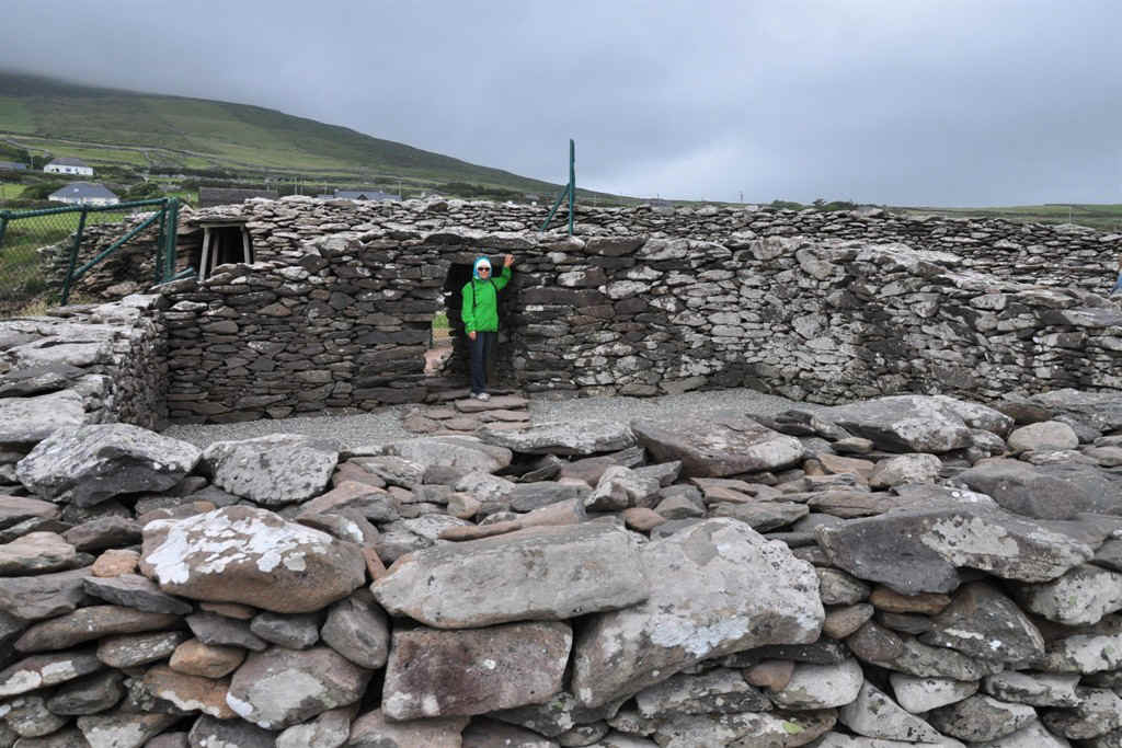
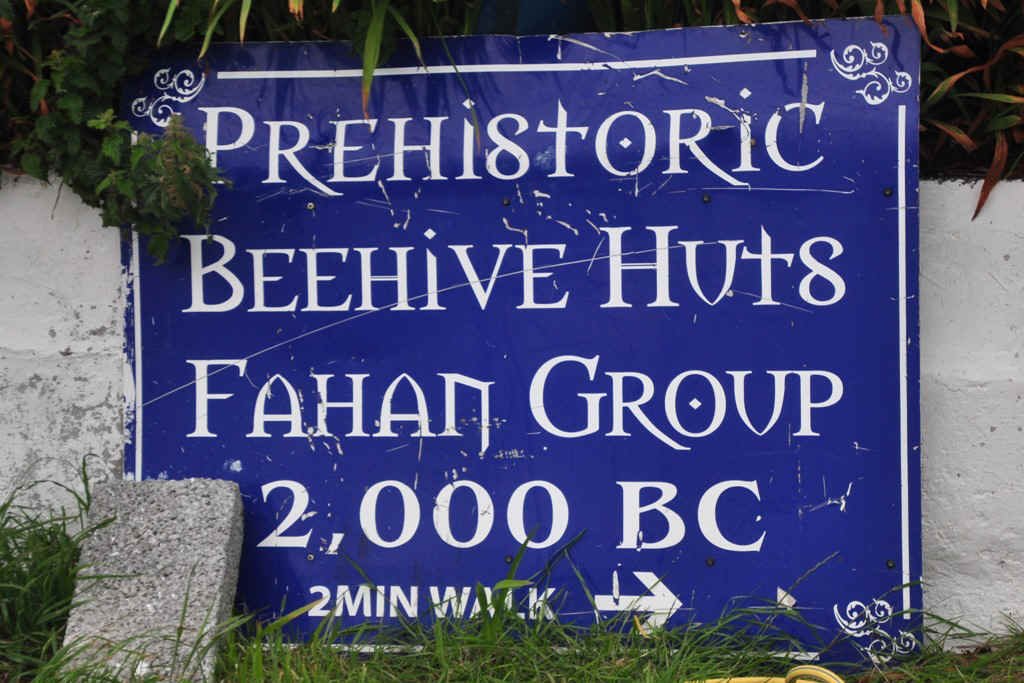
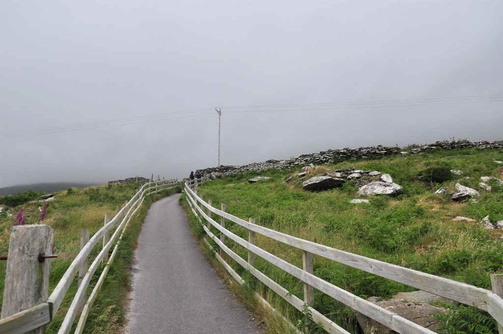
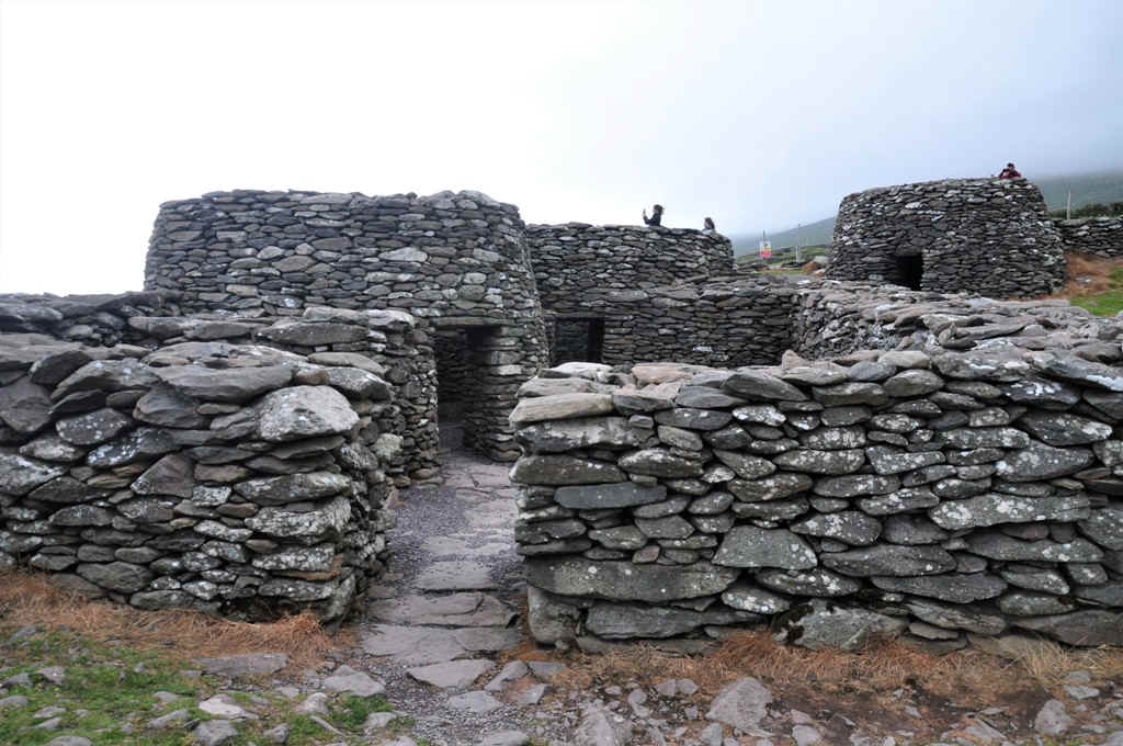
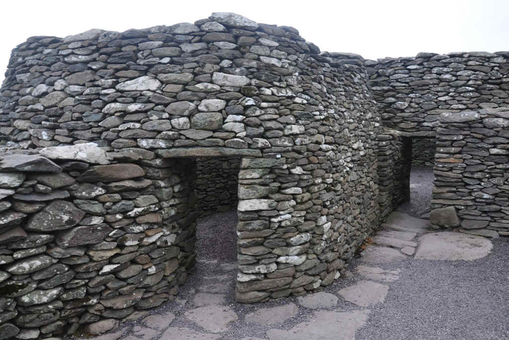
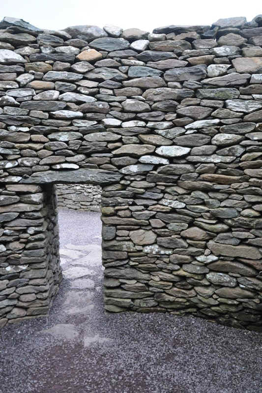
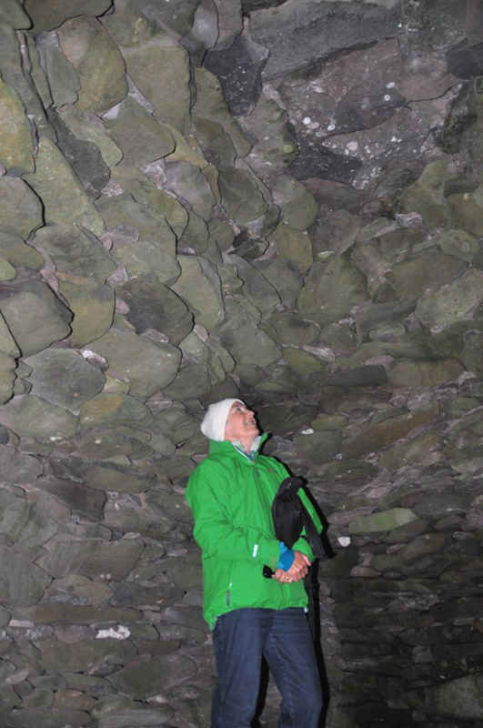
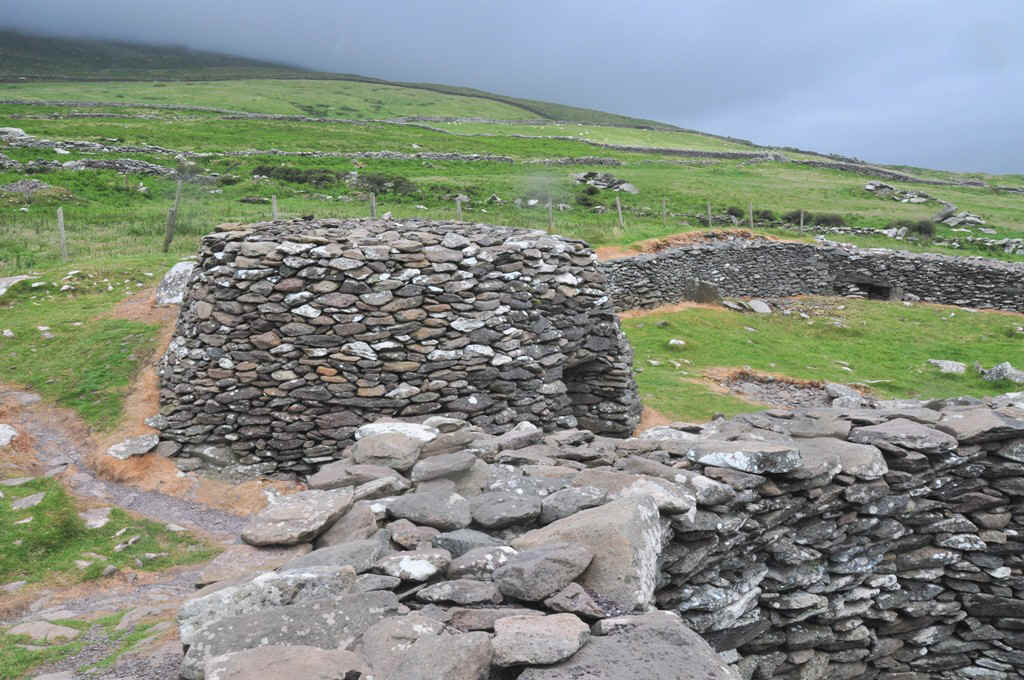
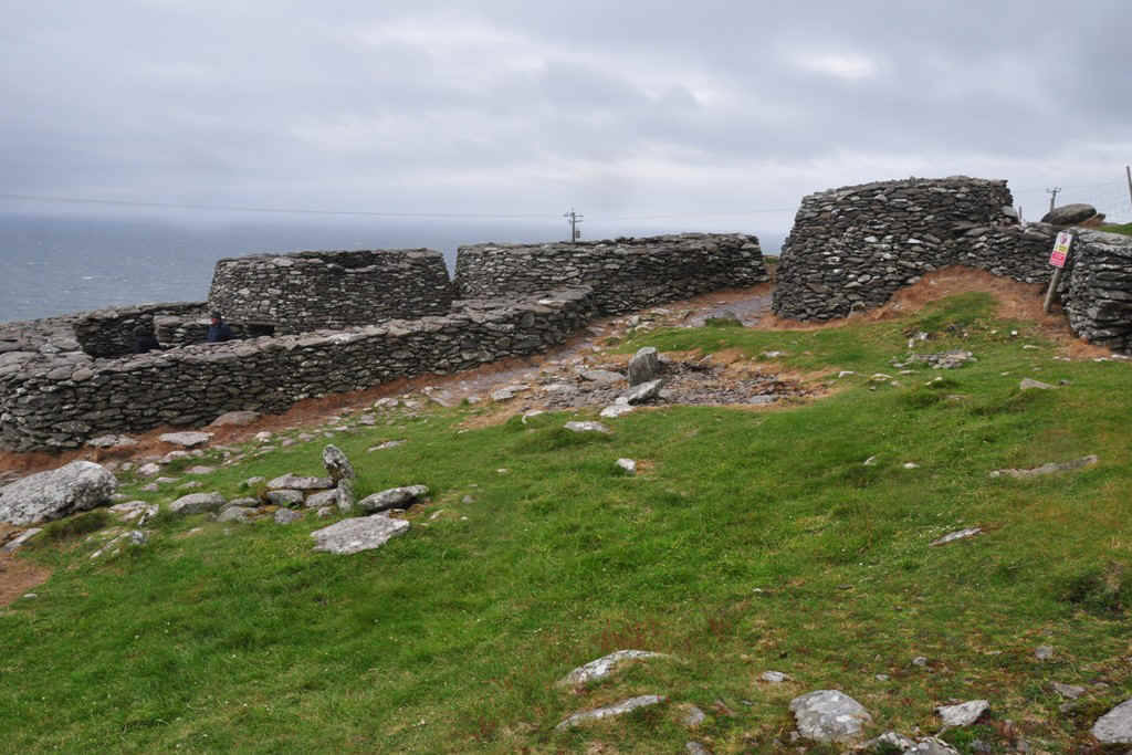
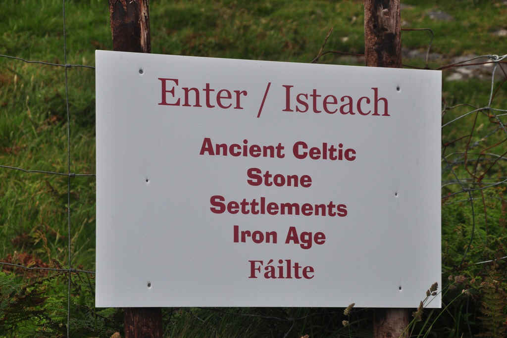
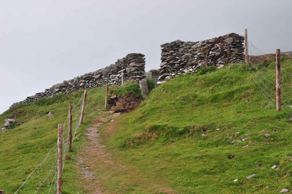
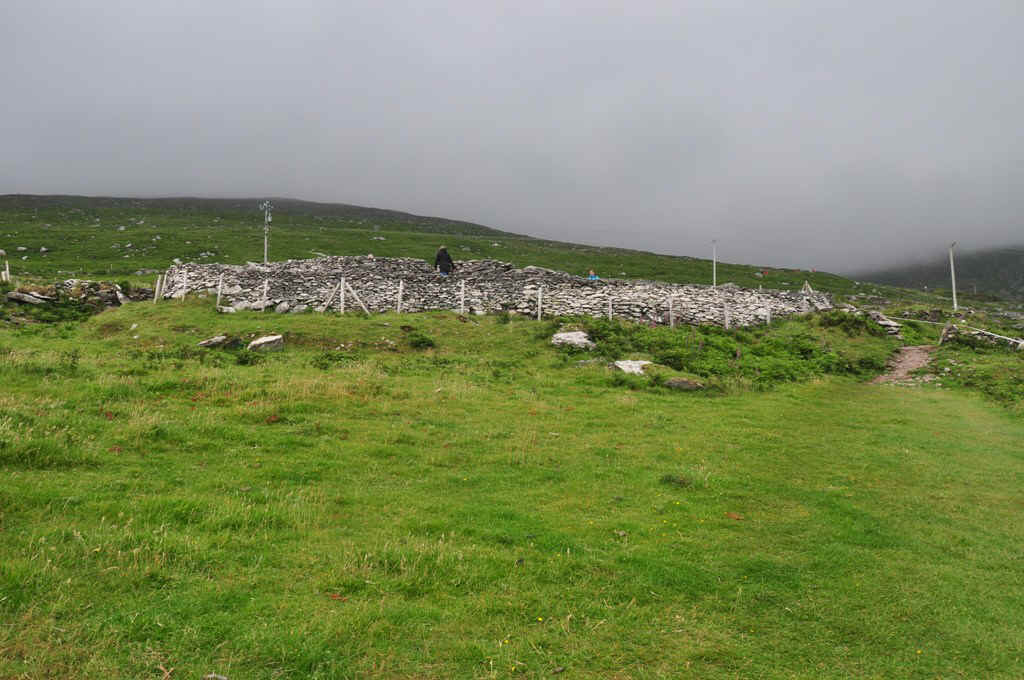
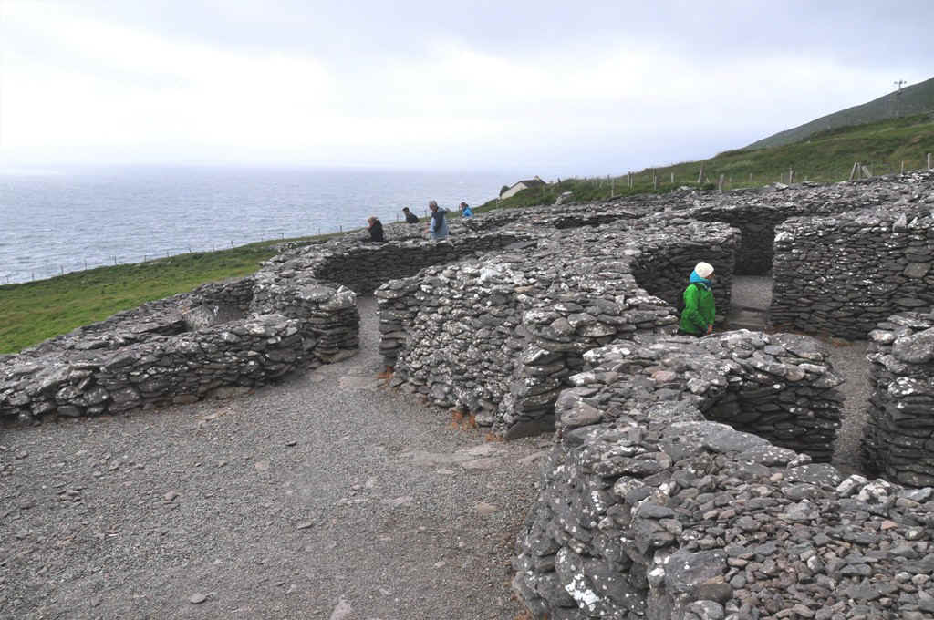
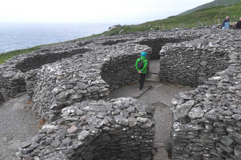
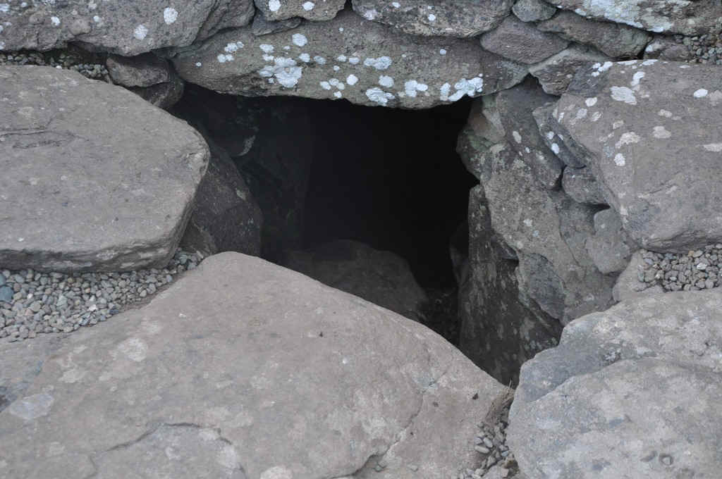
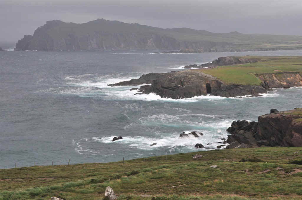
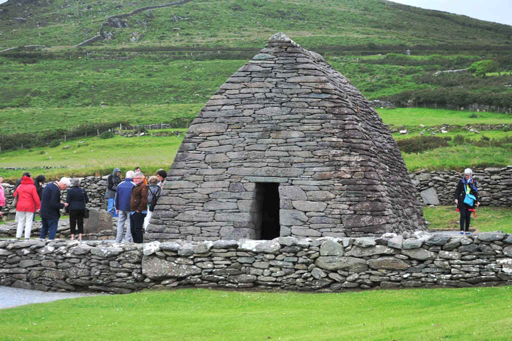
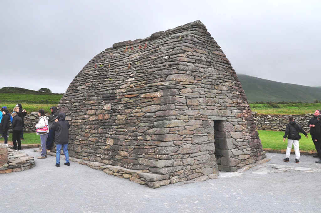
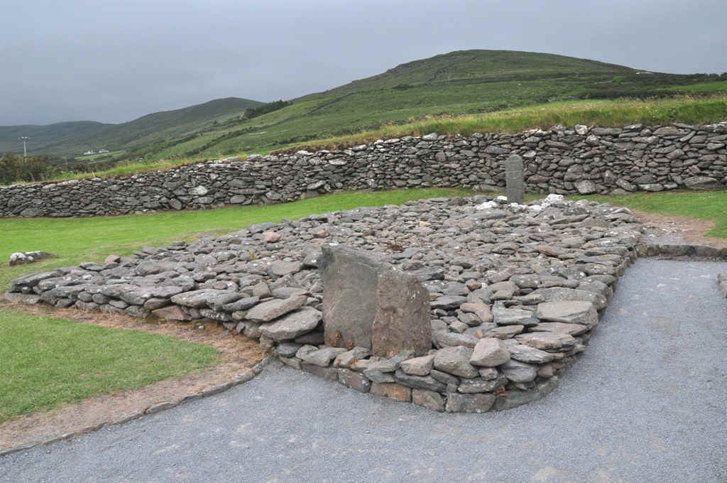
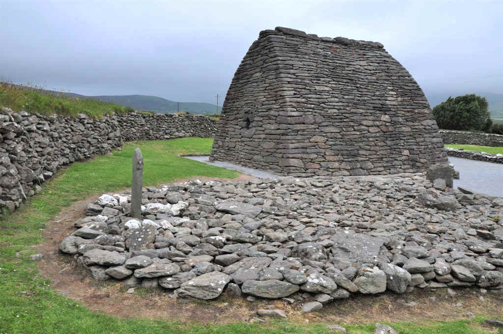
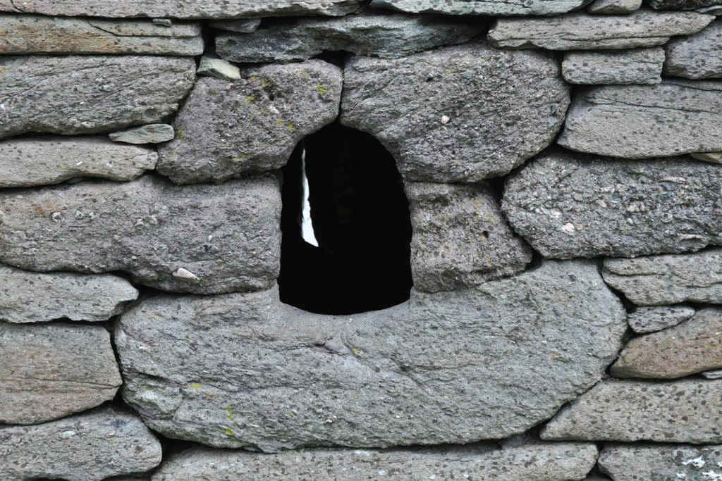
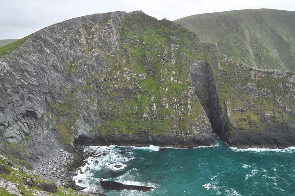
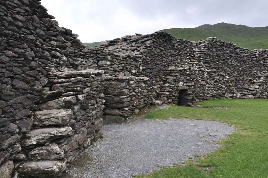
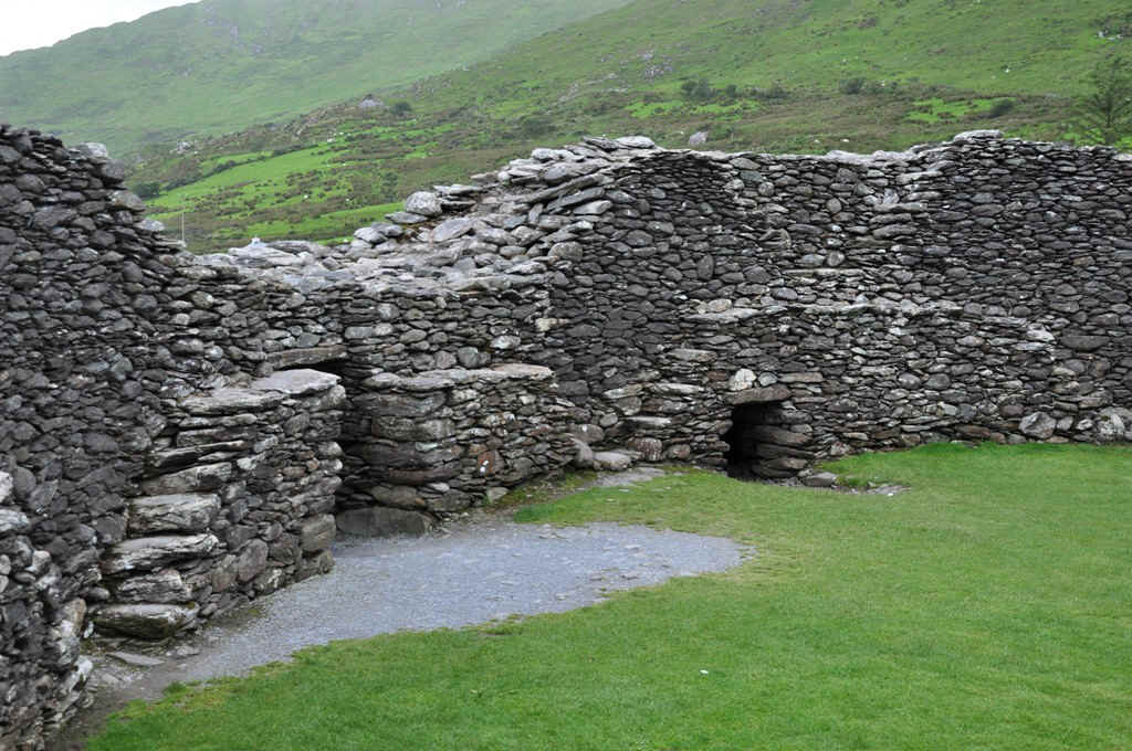
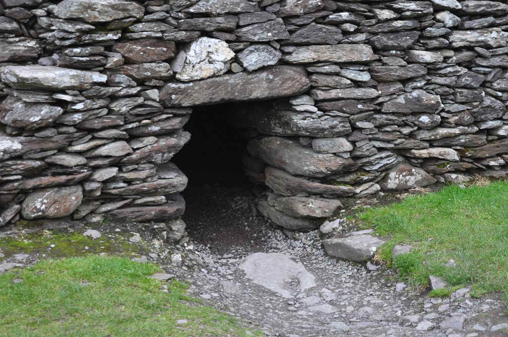
This was another interesting site on Slea Head Drive
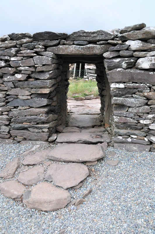
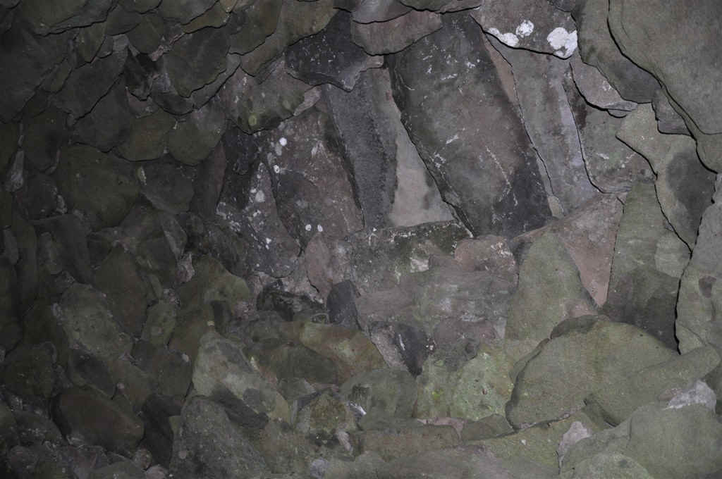
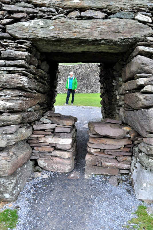
All dry wall masonary.
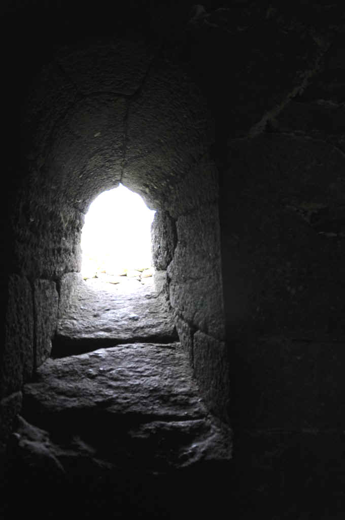
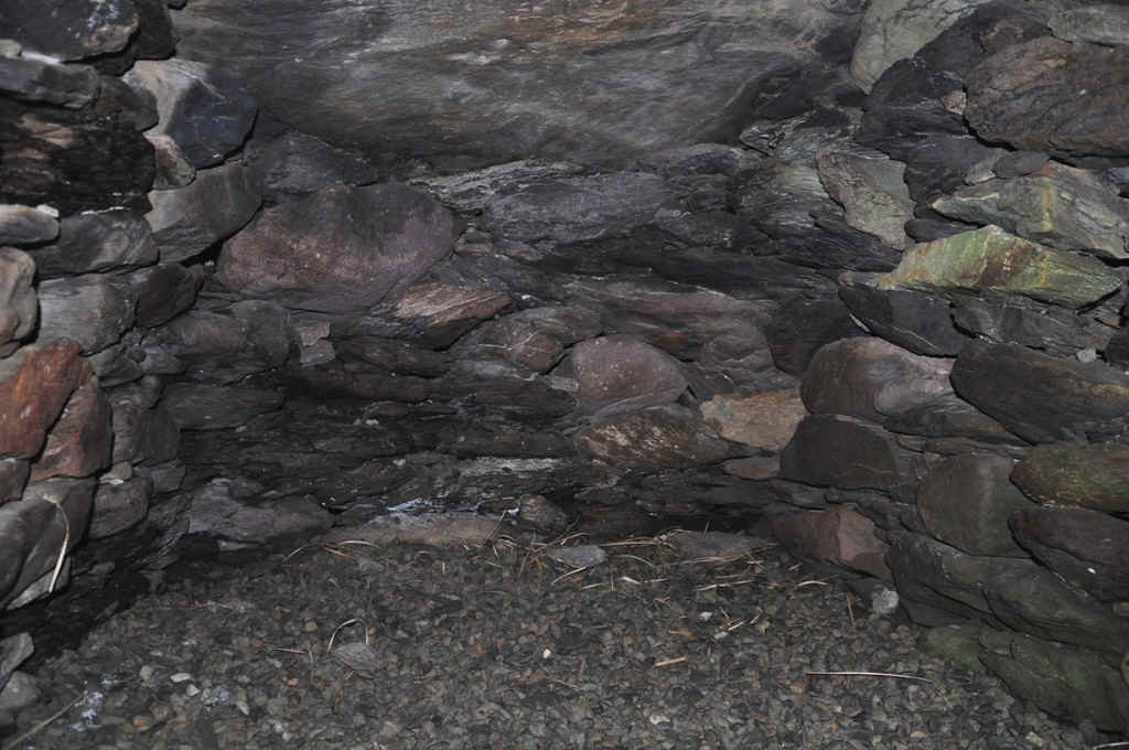
Inside
The capstones.
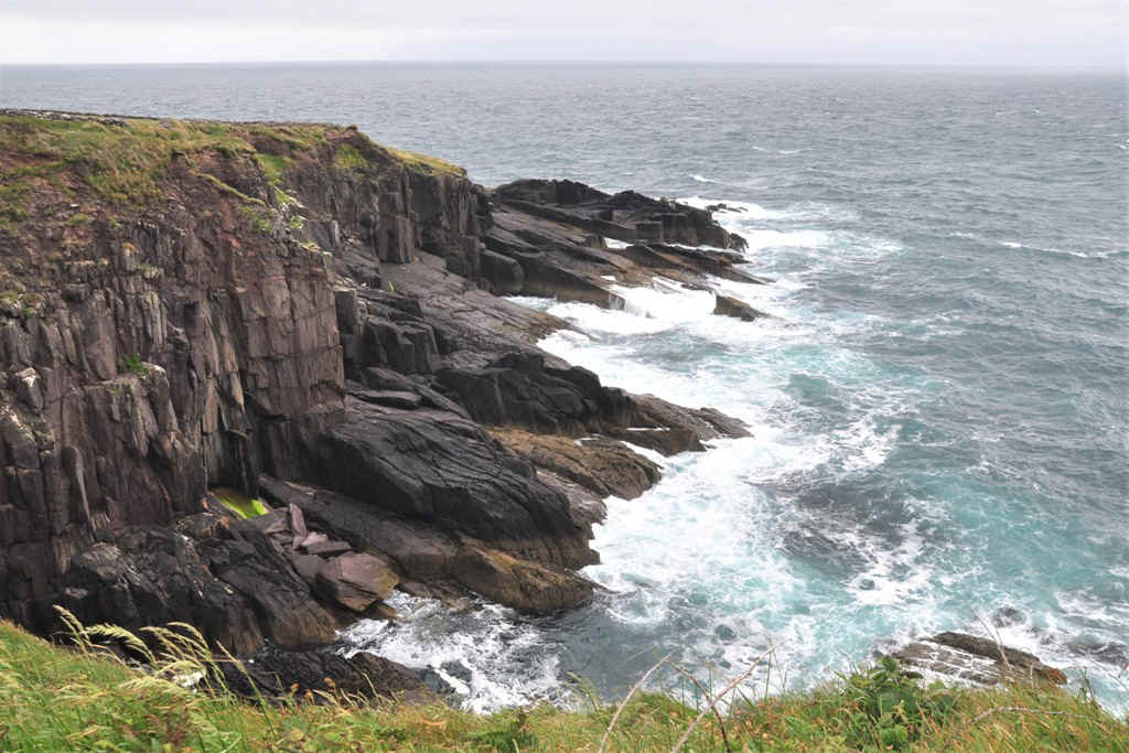
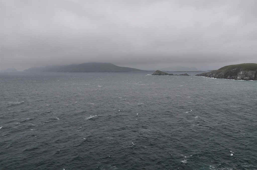
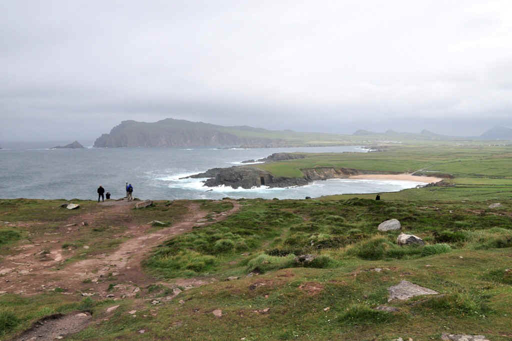
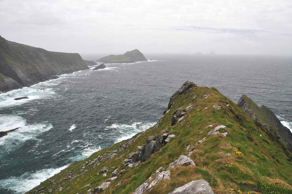
This is Slea Head on the tip of Dingle Peninsula.
Looking across to the Blasket Islands, unfortuntely not very clear.
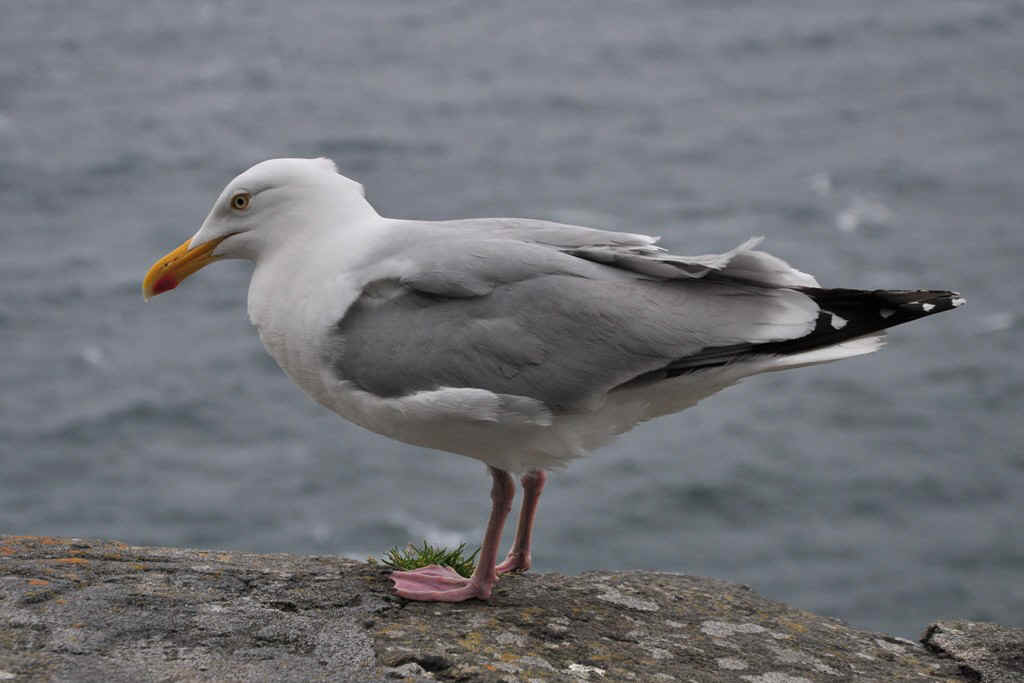
Another huge seagull.
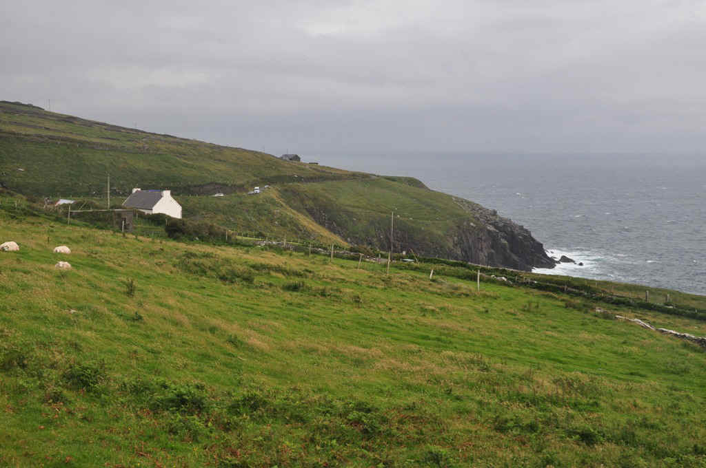
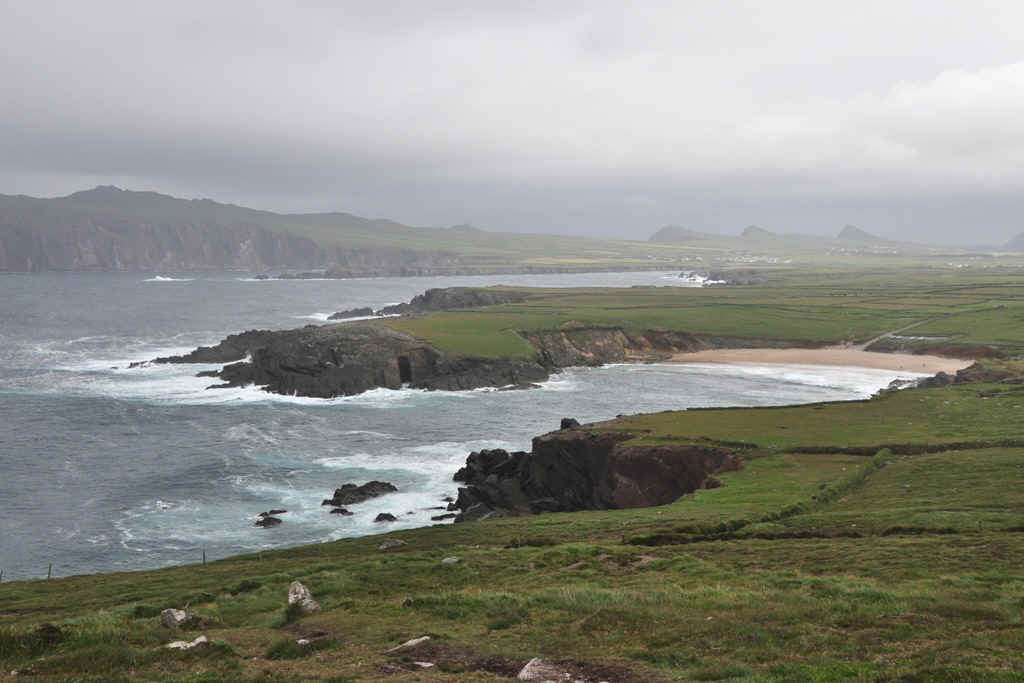
After crossing the neck in the peninsula, looking towards Wine Strand. It was very windy!
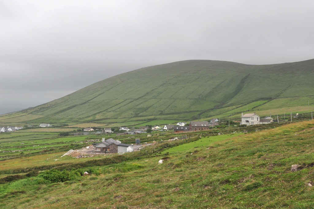
I think this is Ballyferriter
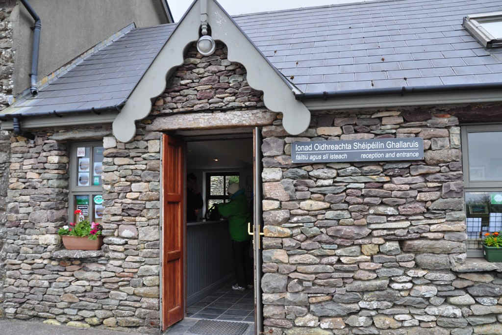
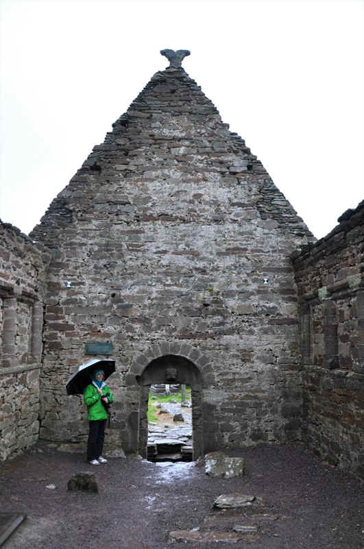
Gallarus Oratory Visitor's Centre
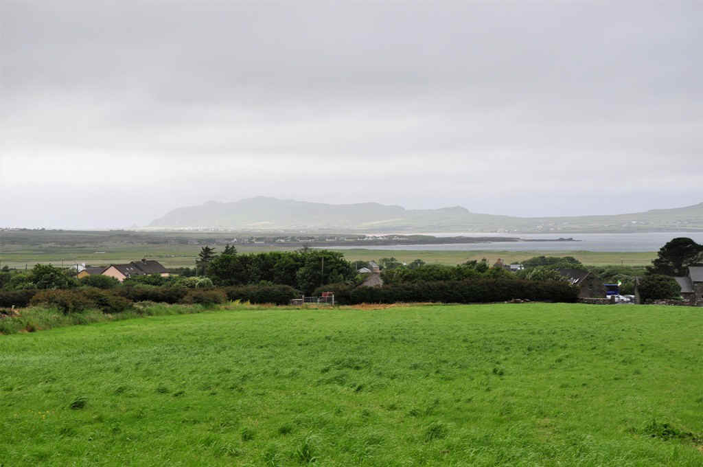
View from the visitor's center
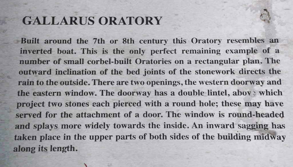
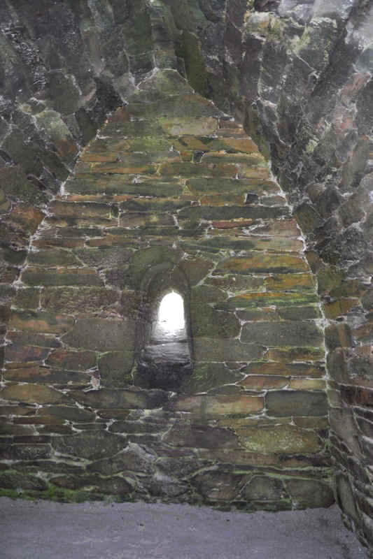
Inside the Oratory
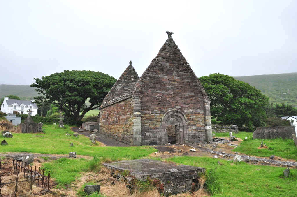
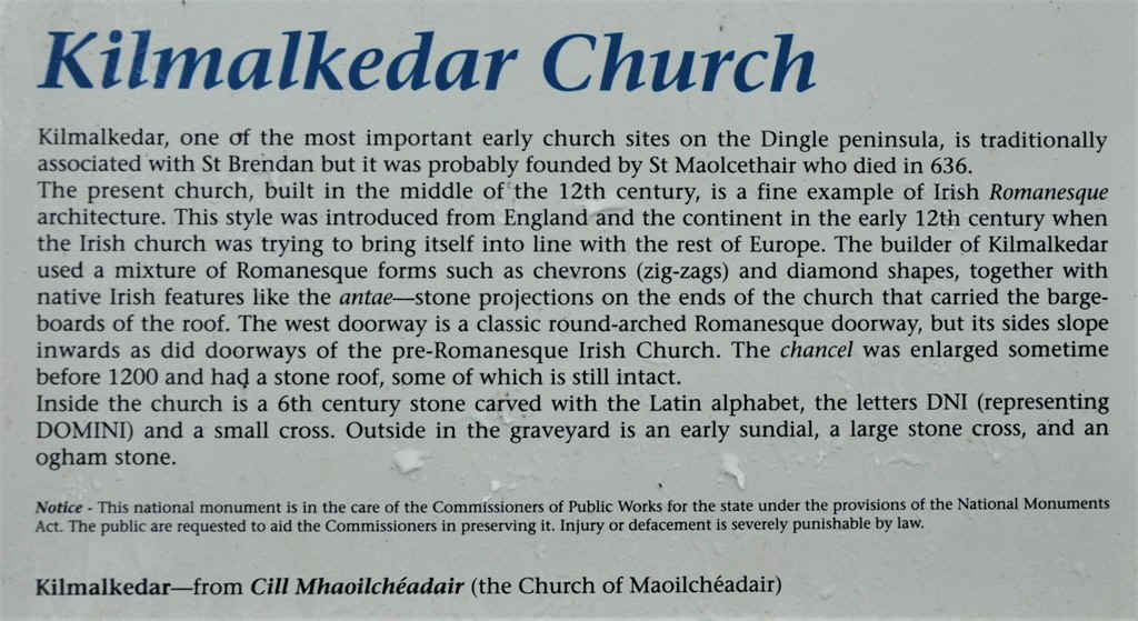
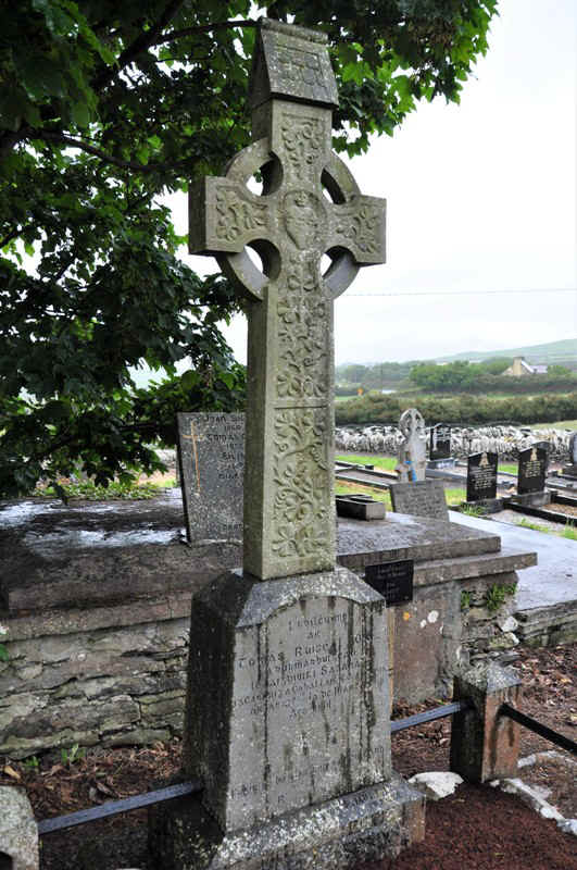
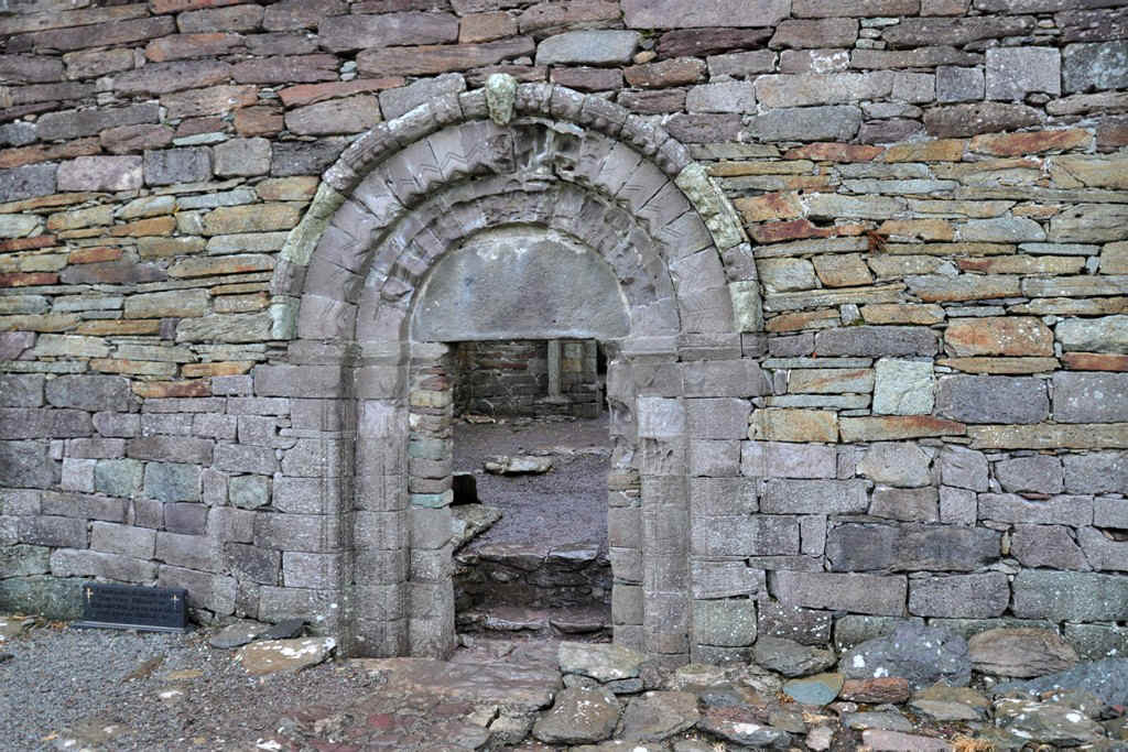
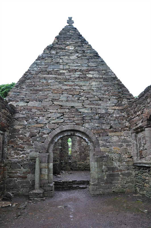
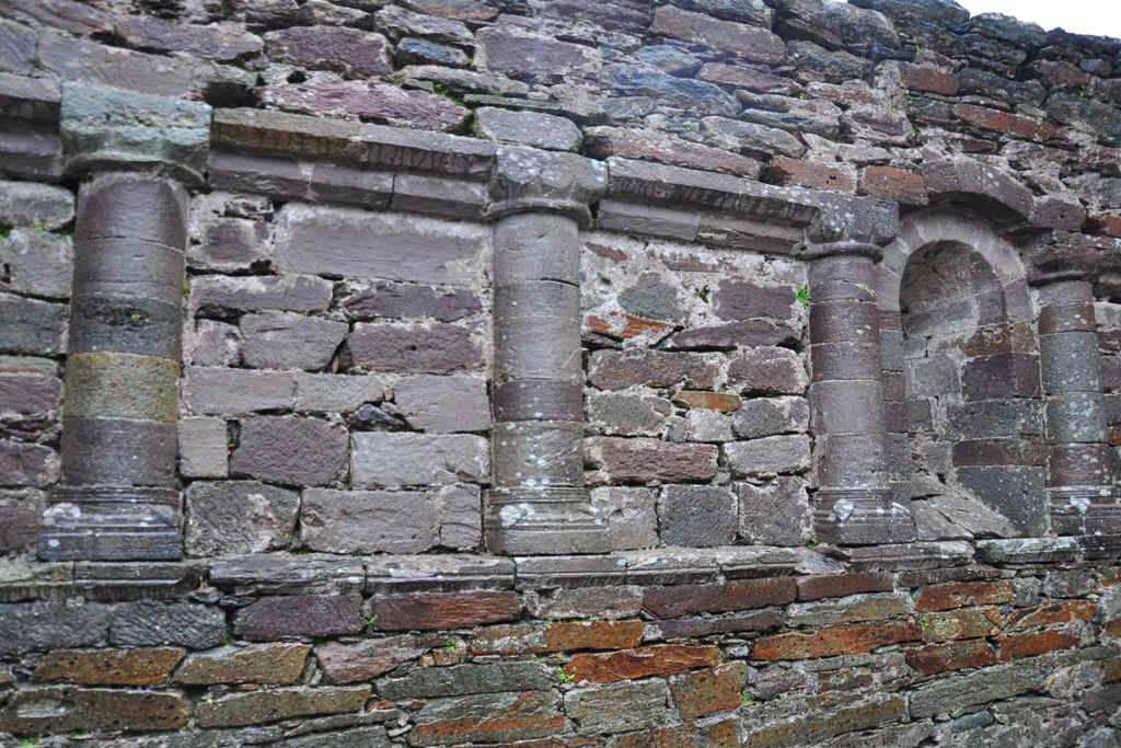
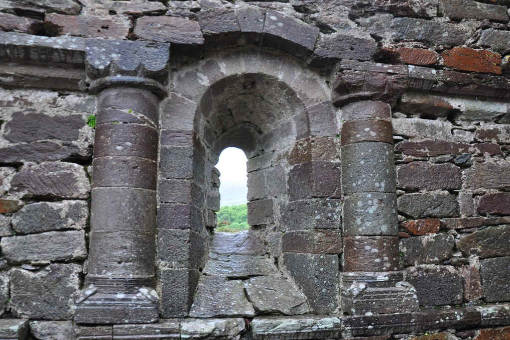
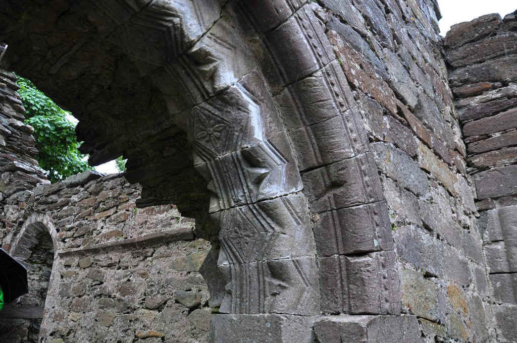
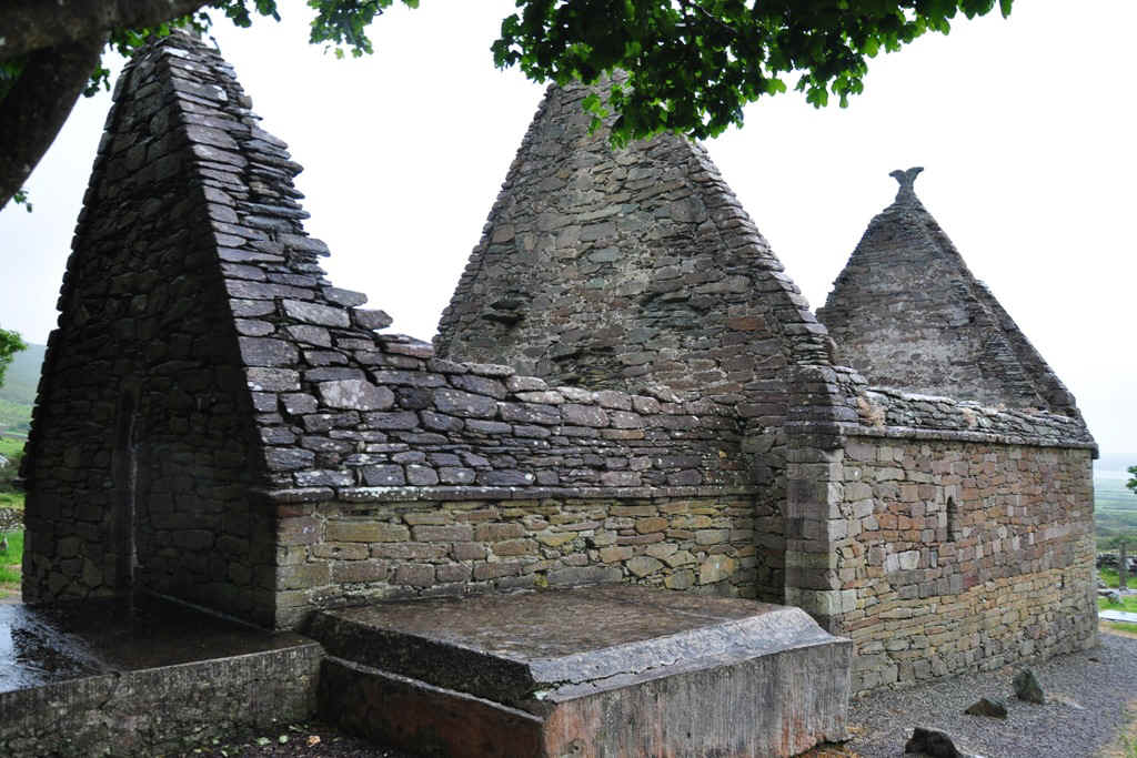
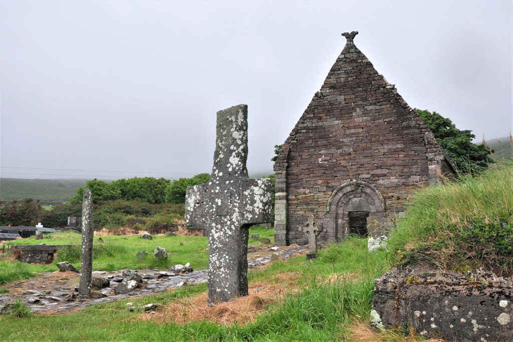
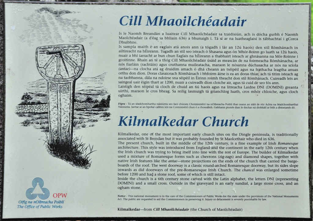
Kilmalkedar Church, Early 7th Century
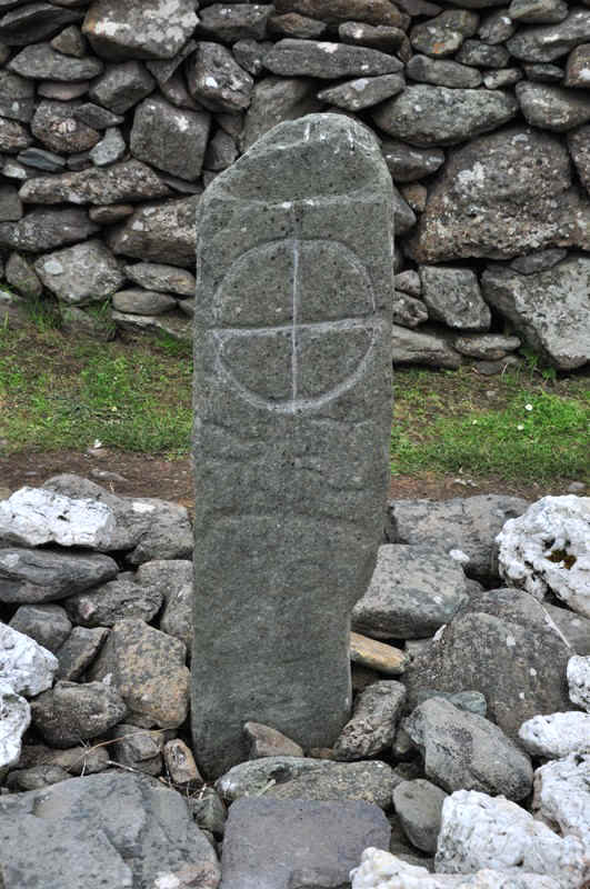
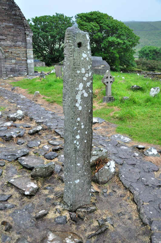
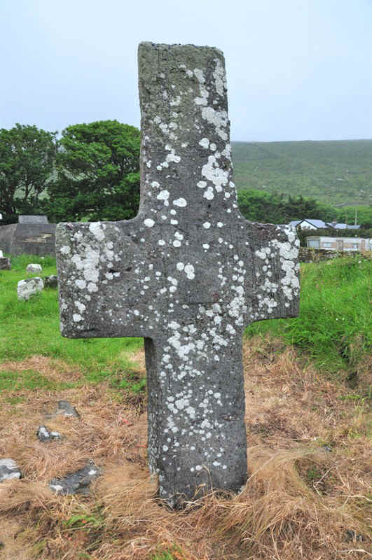
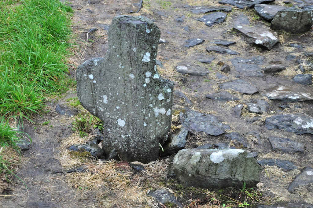
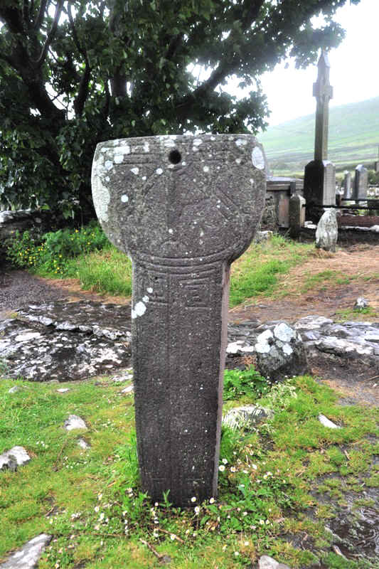
Ogham Stone
Stone Cross
Sundial
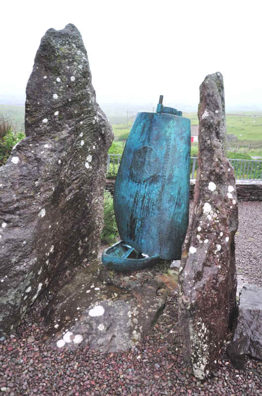
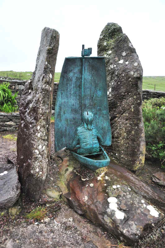
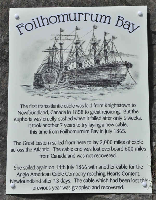
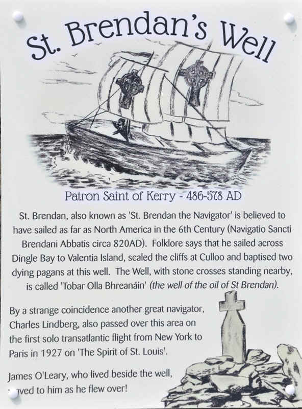
St Brendons Creek
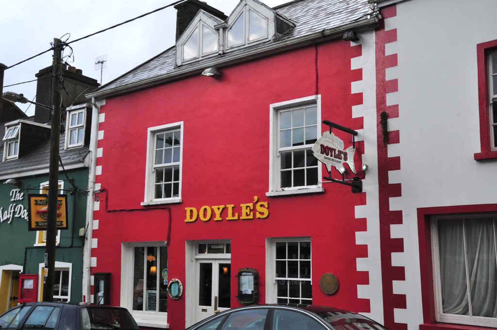
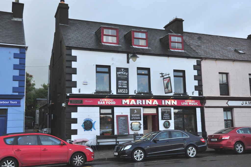
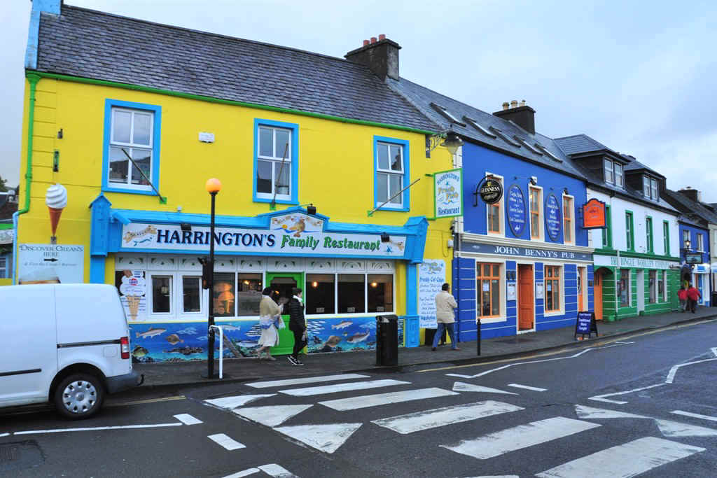
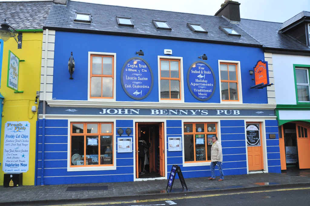
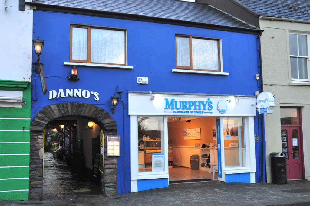
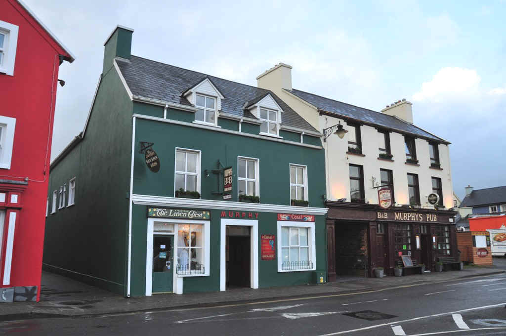
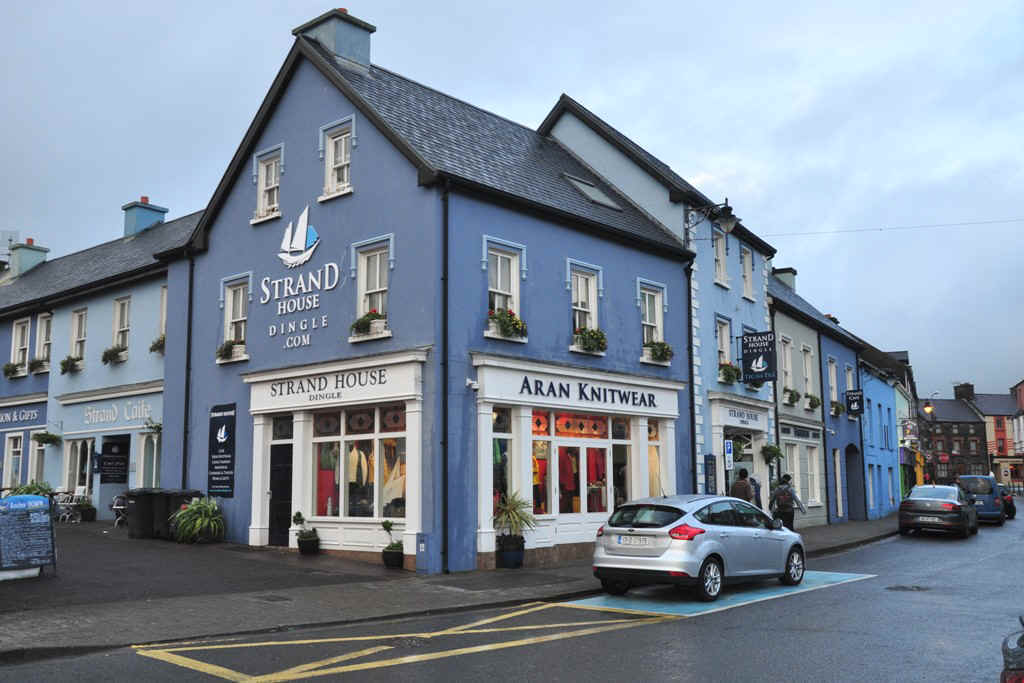
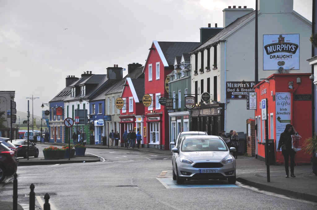
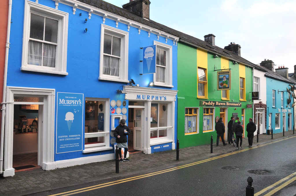
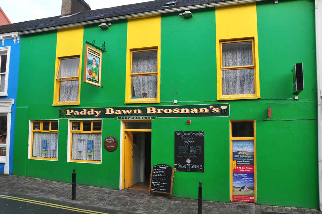
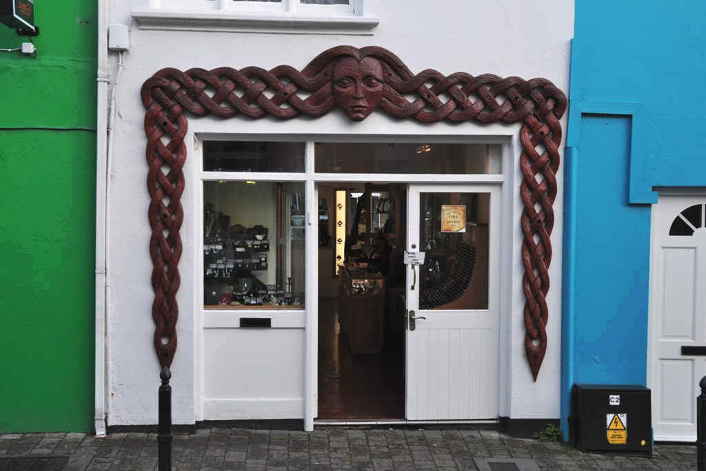
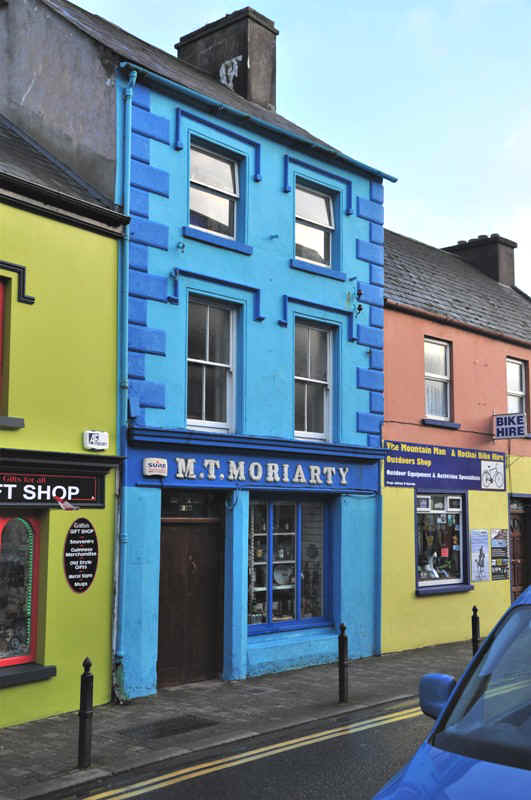
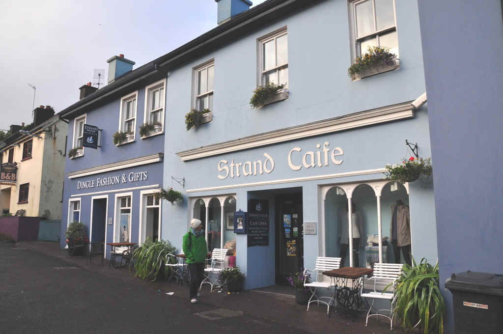
Down town Dingle
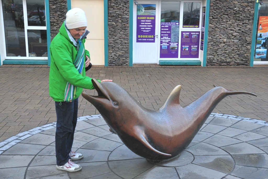
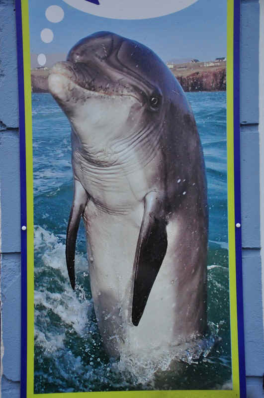
Fungie the Dingle Dolphin, who has gone missing in 2020
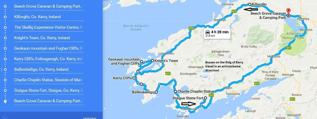
Day 8 Tour of the Ring of Kerry This was a very full but very interesting day. Note that busses travel in an anticlockwise direction. It is easier to go with the flow!
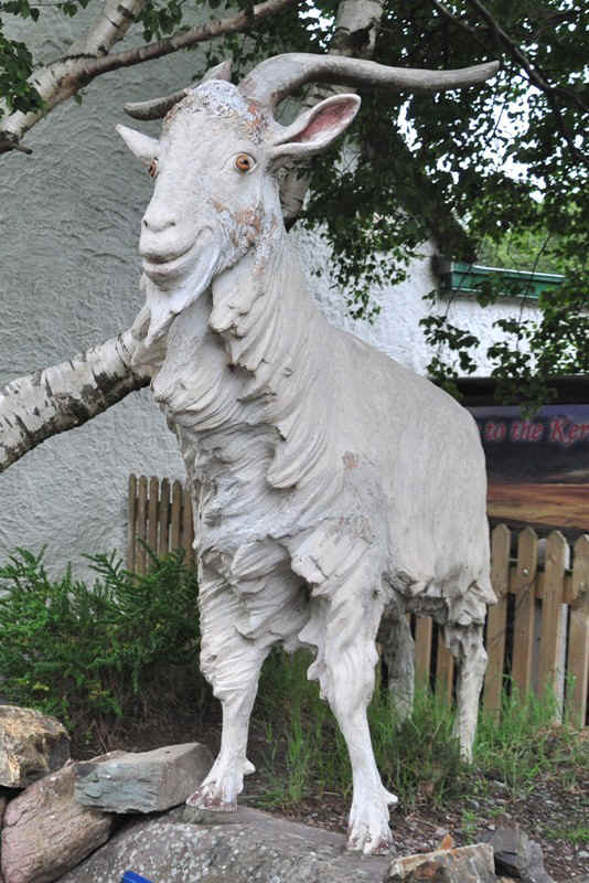
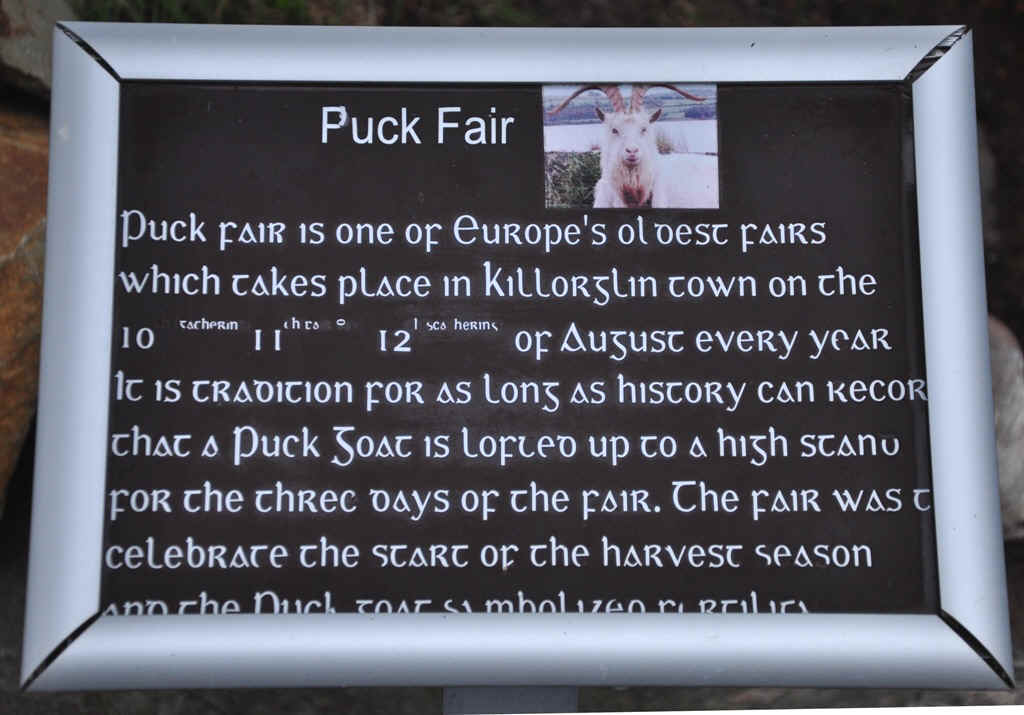
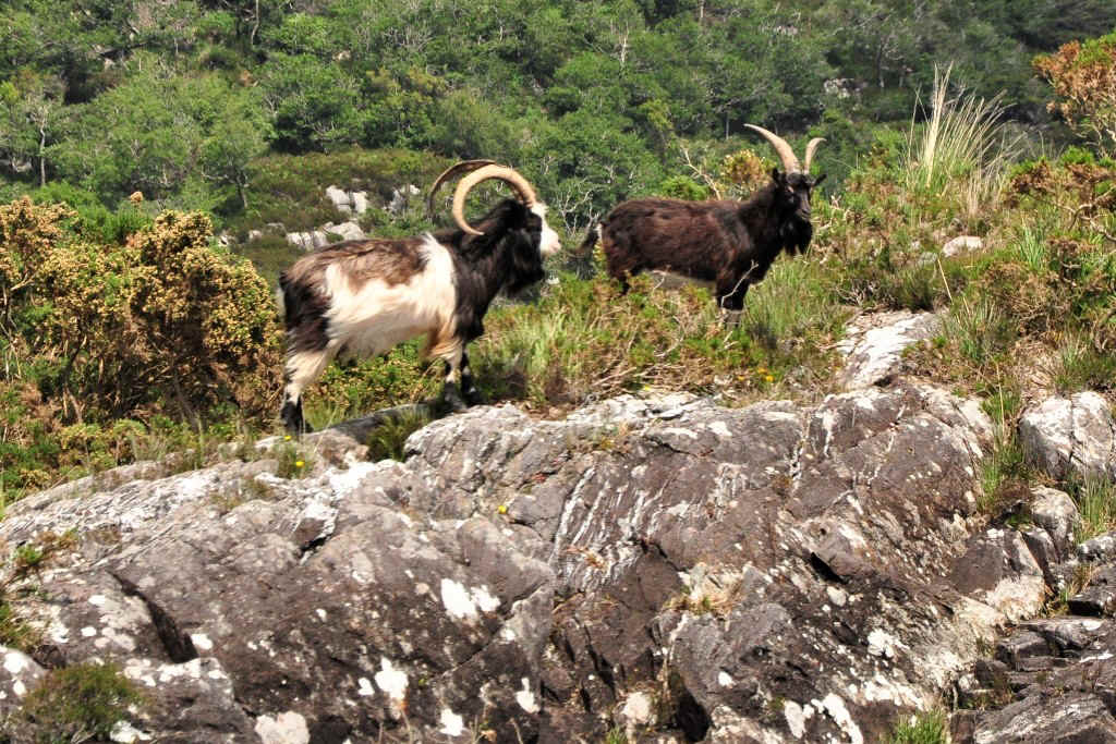
Puck at Killorglin
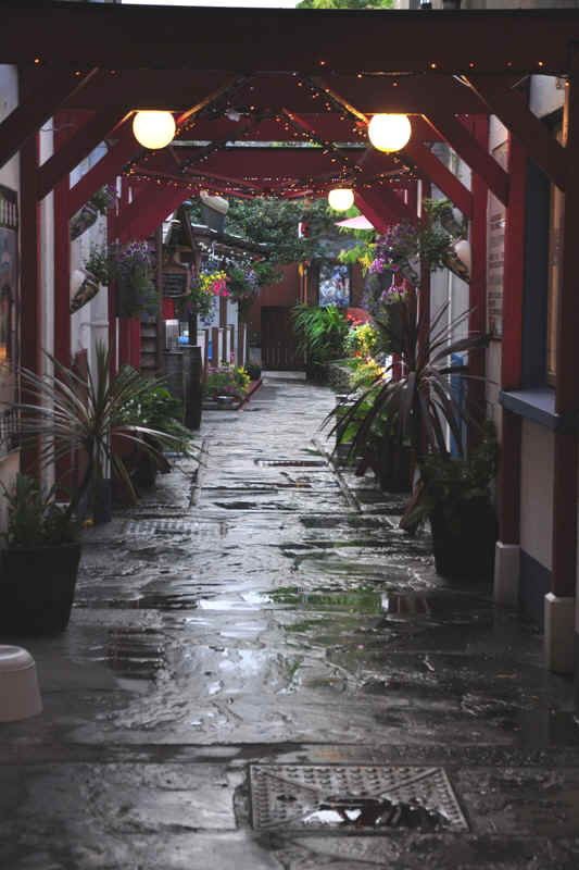
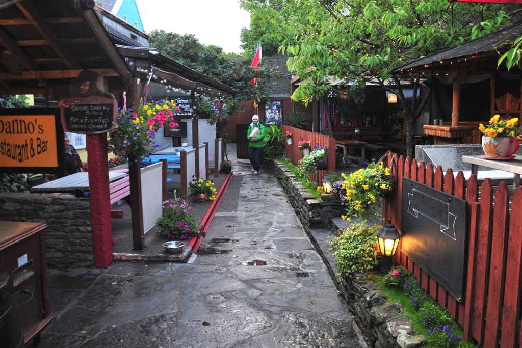
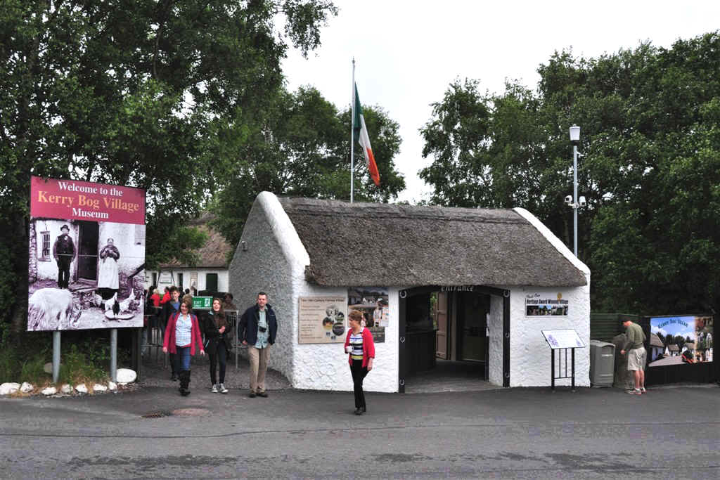
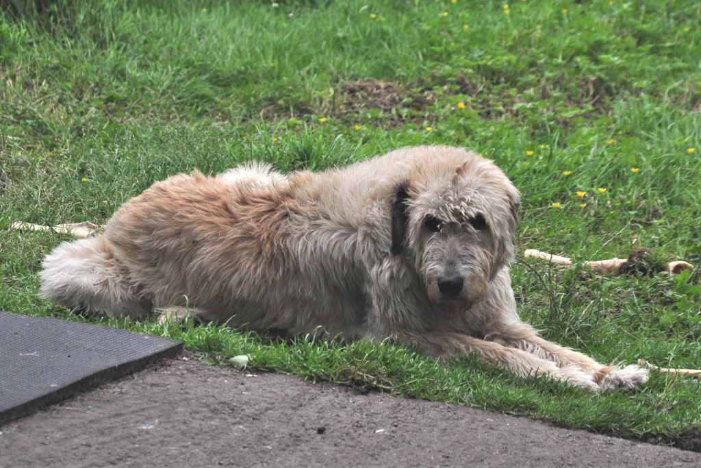
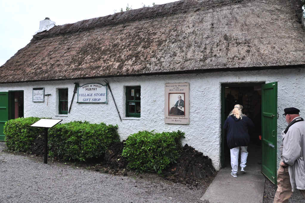
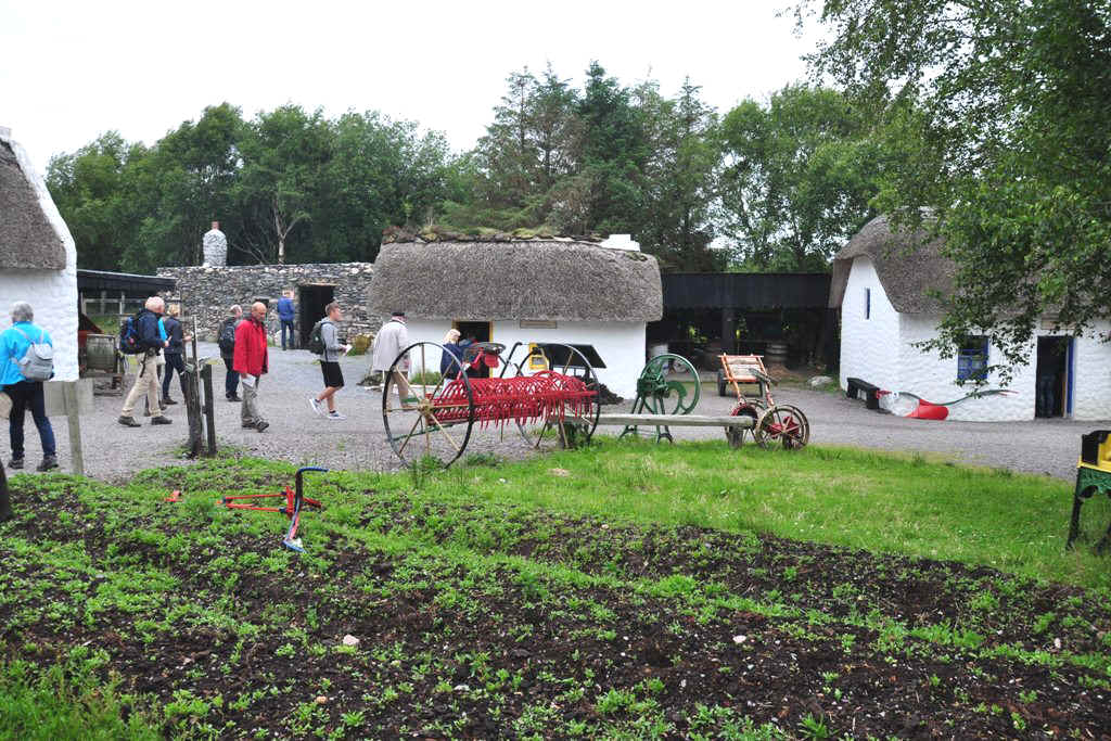
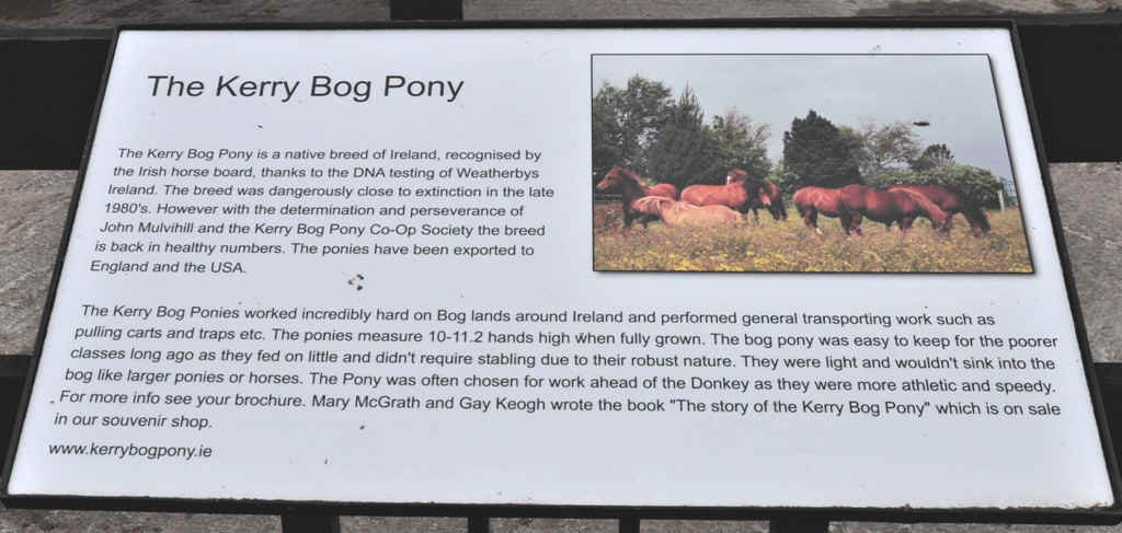
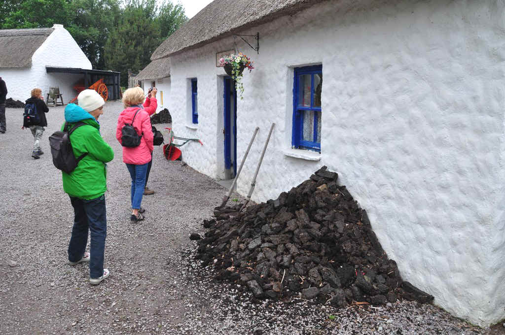
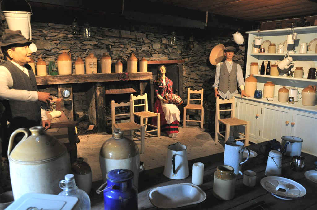
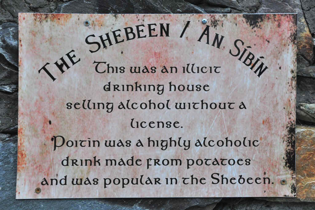
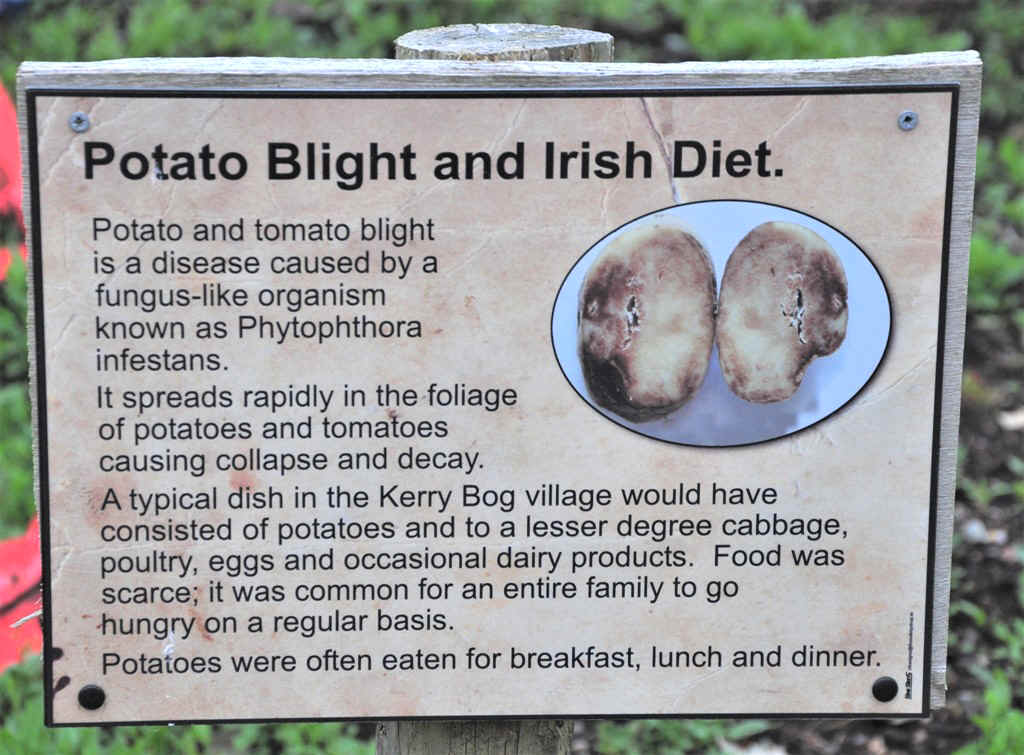
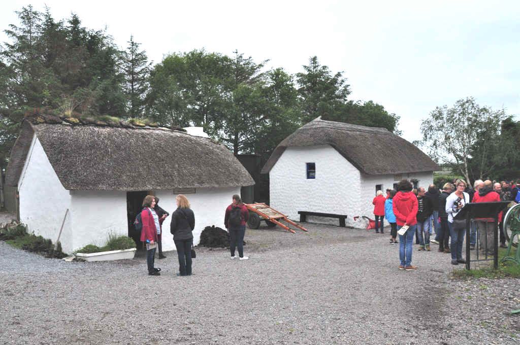
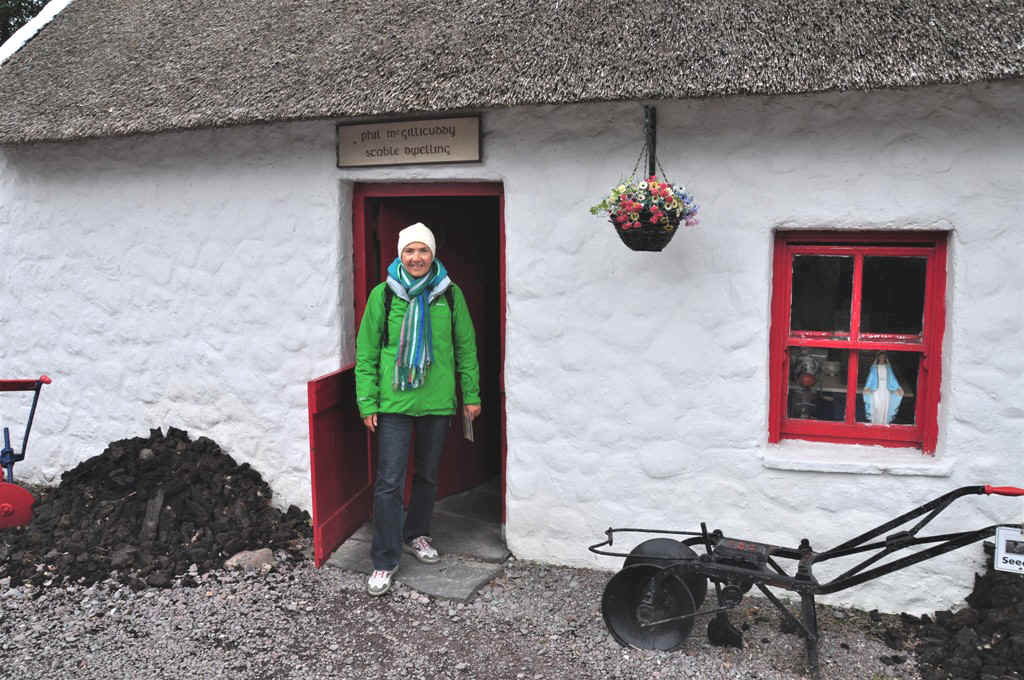
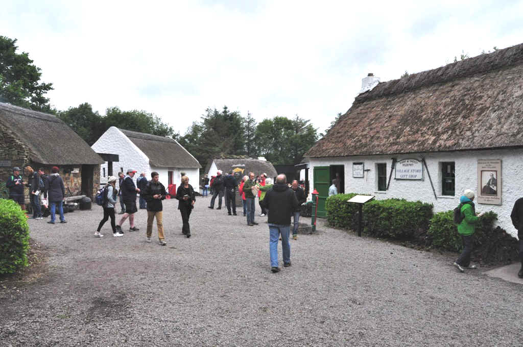
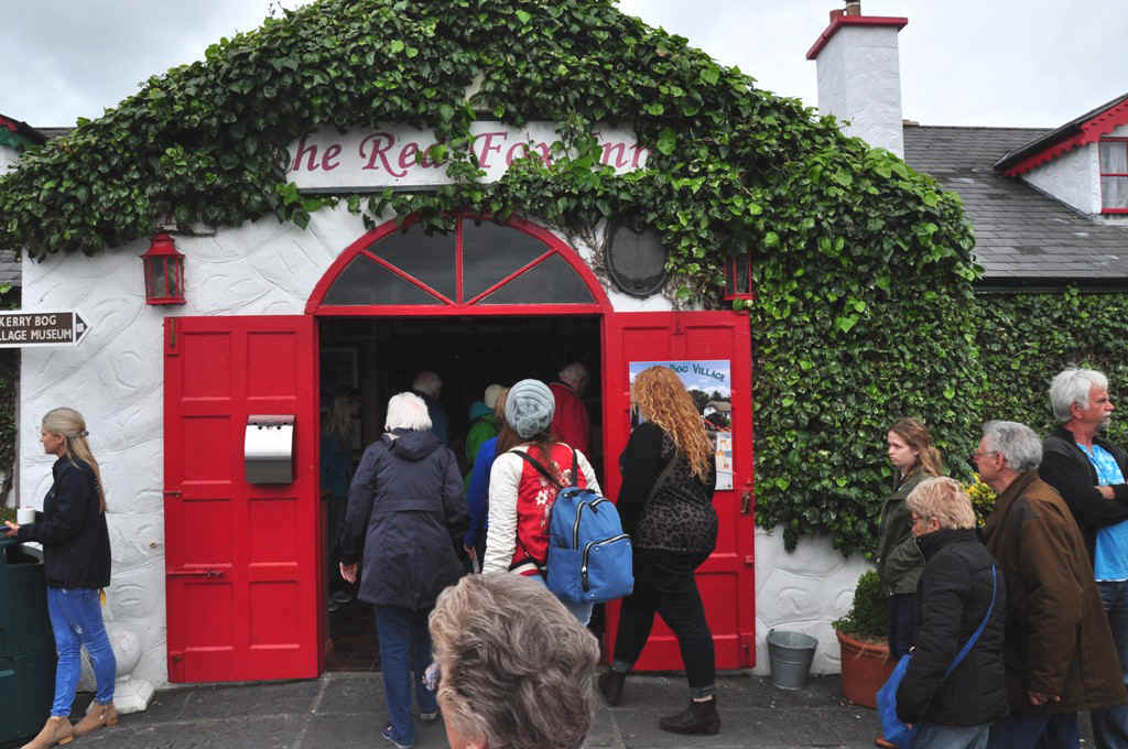
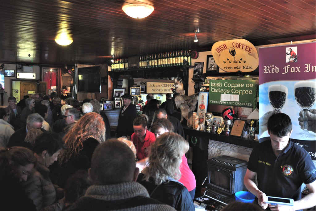
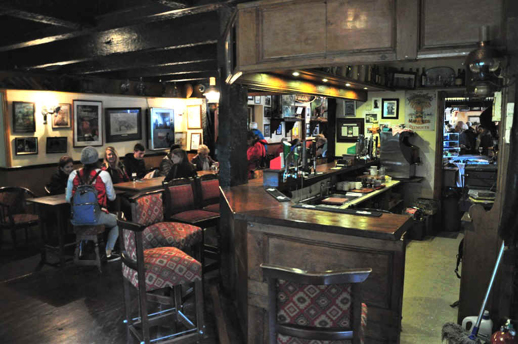
Kerry Bog Village Museum was quite interesting.
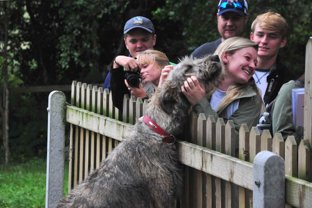
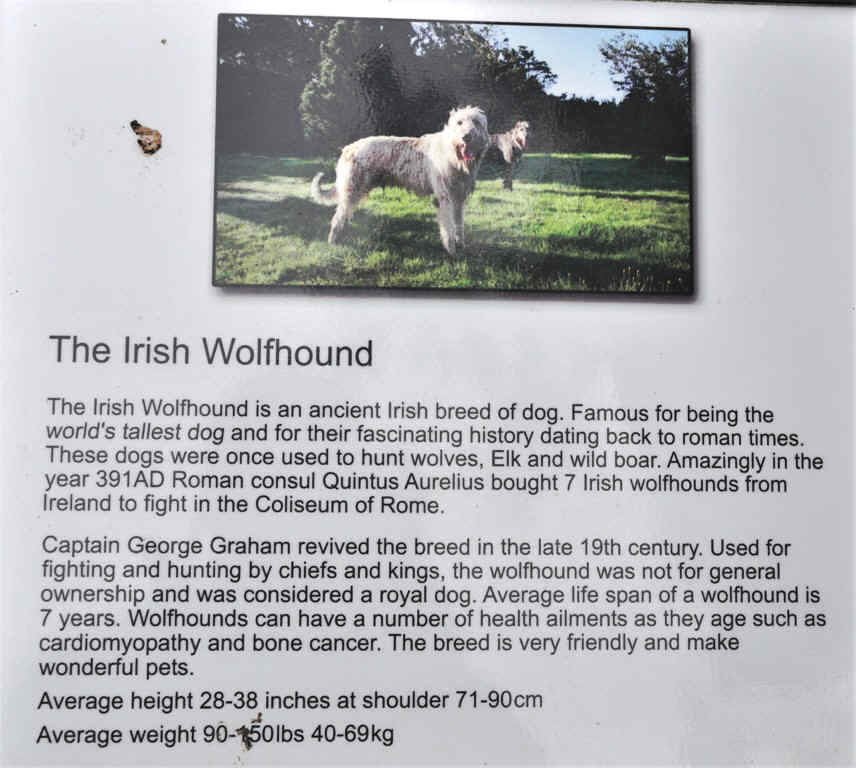
A friendly Irish Wolfhound
Peat heaped outside the house
The blacksmith
and I had never heard of them!
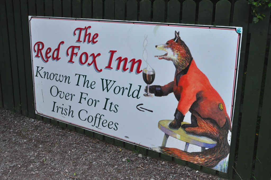
A popular stop for bus groups, but I was the driver!
A modern fox
Ours is here somewhere!
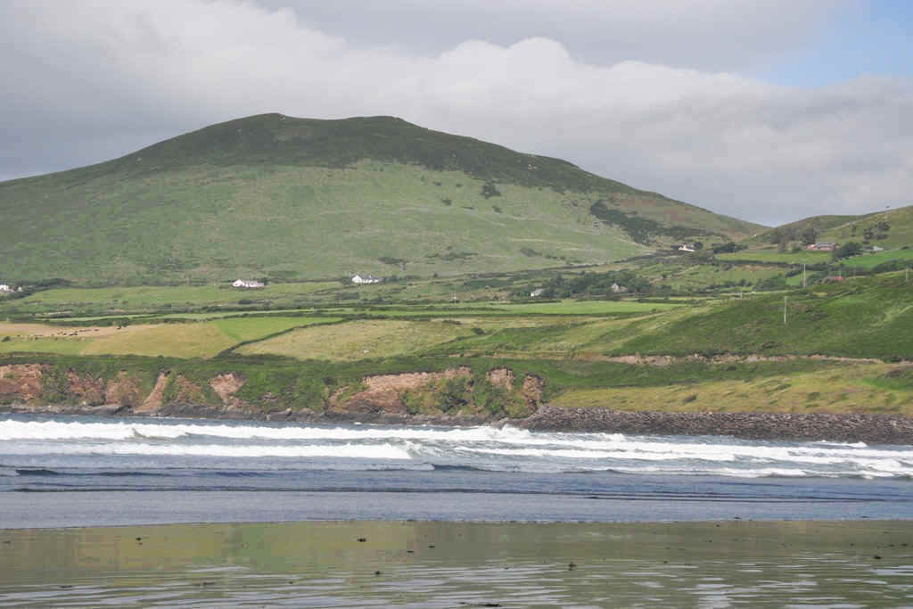
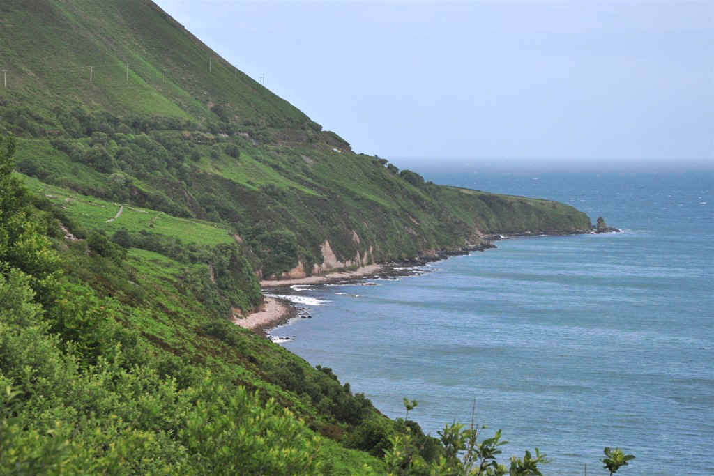
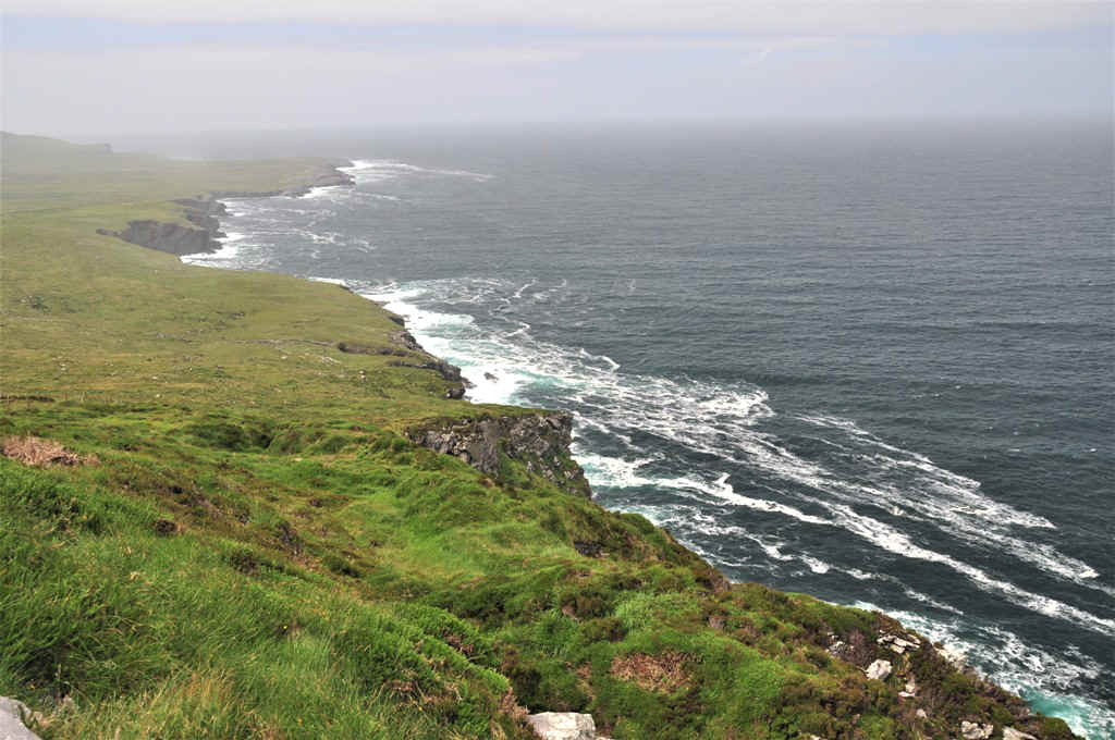
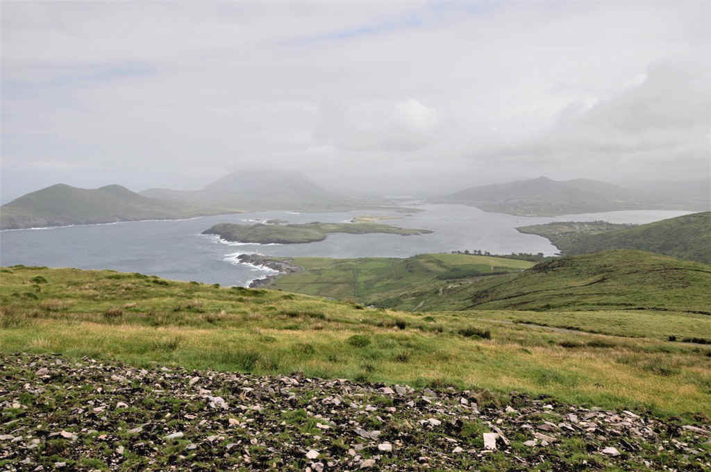
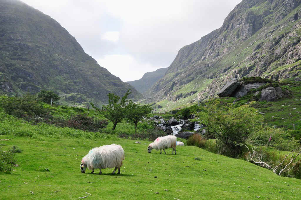
Part of the northern coast of the Kerry Peninsula
Looking across the bay to the Dingle Peninsula
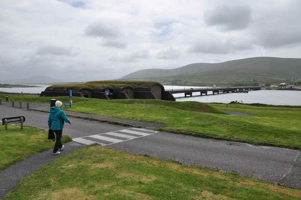
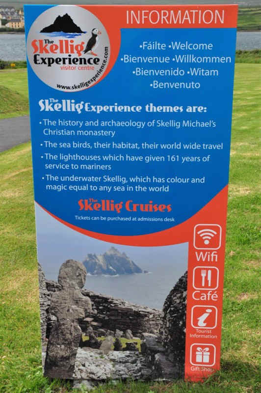
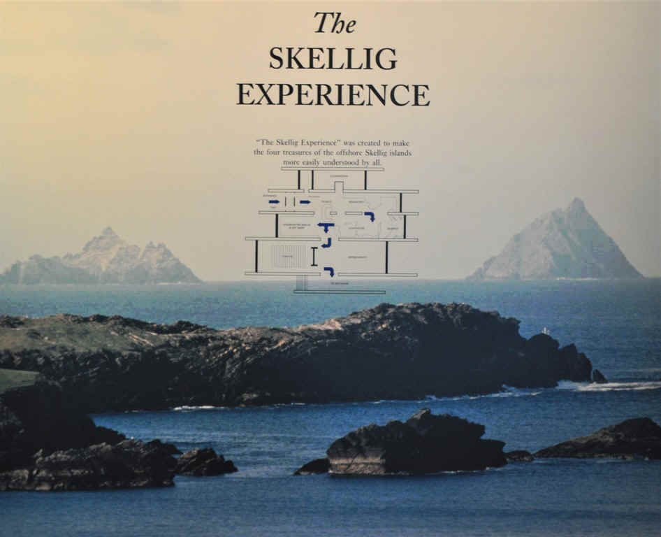
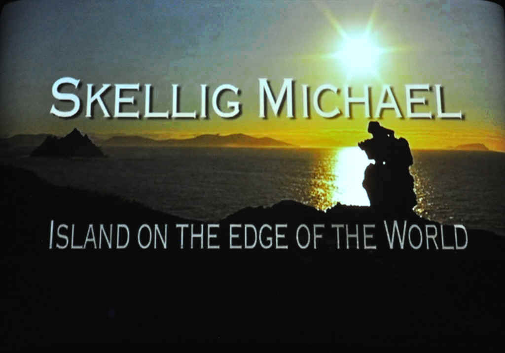
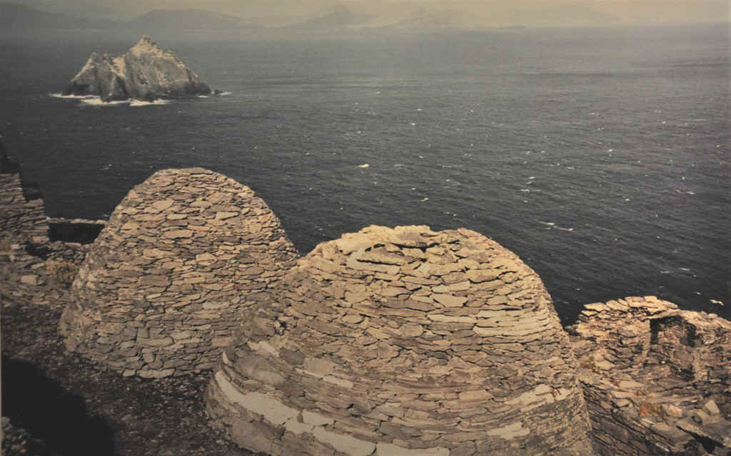
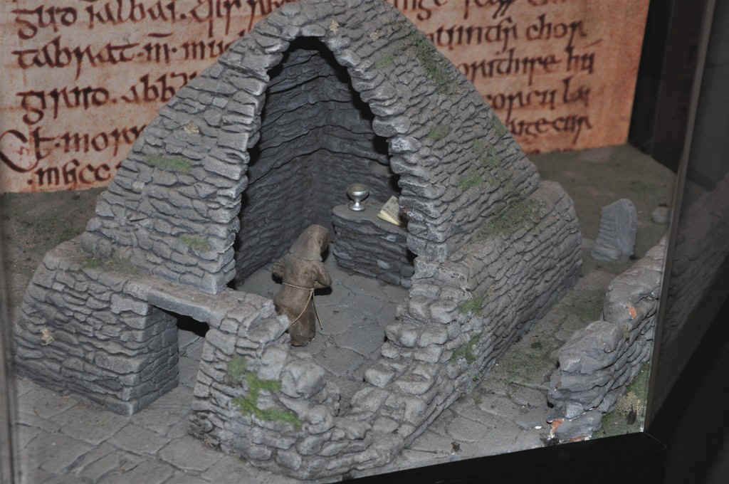
The Skellig Experience Museum and Information Centre
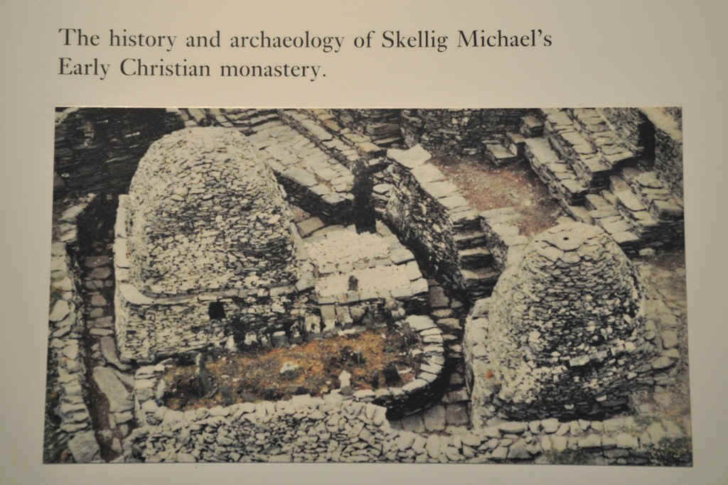
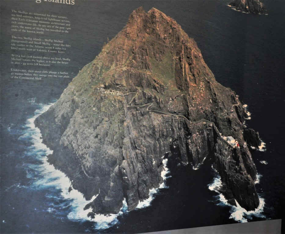
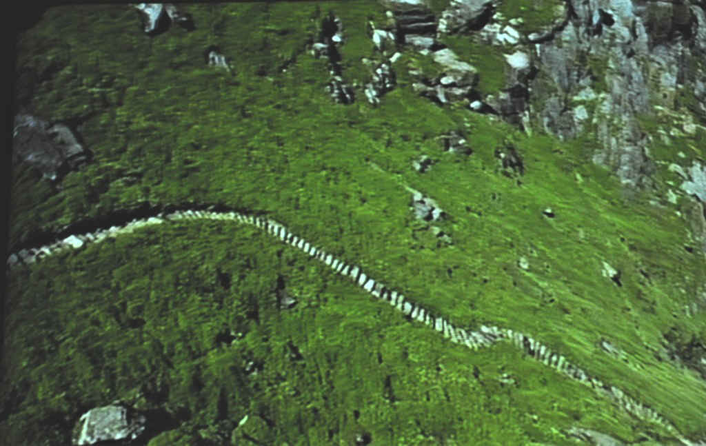
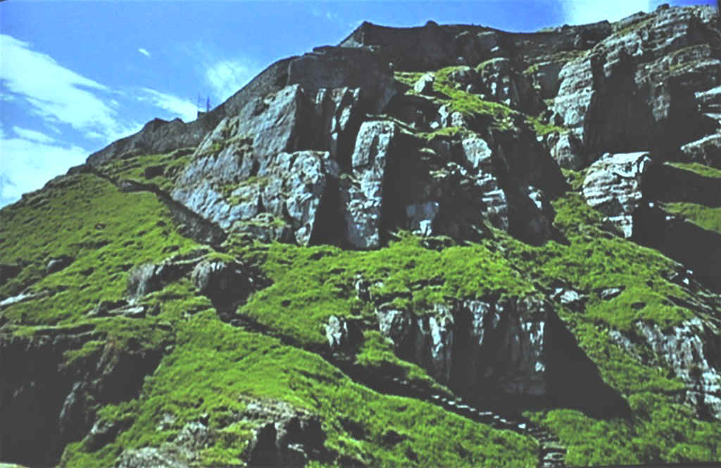
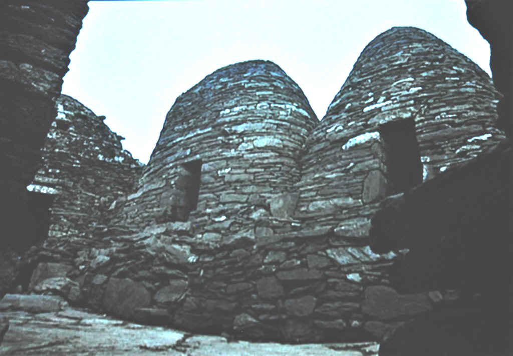
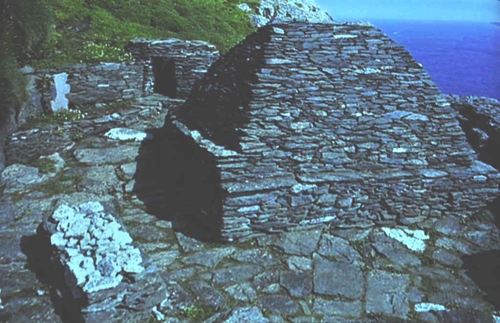
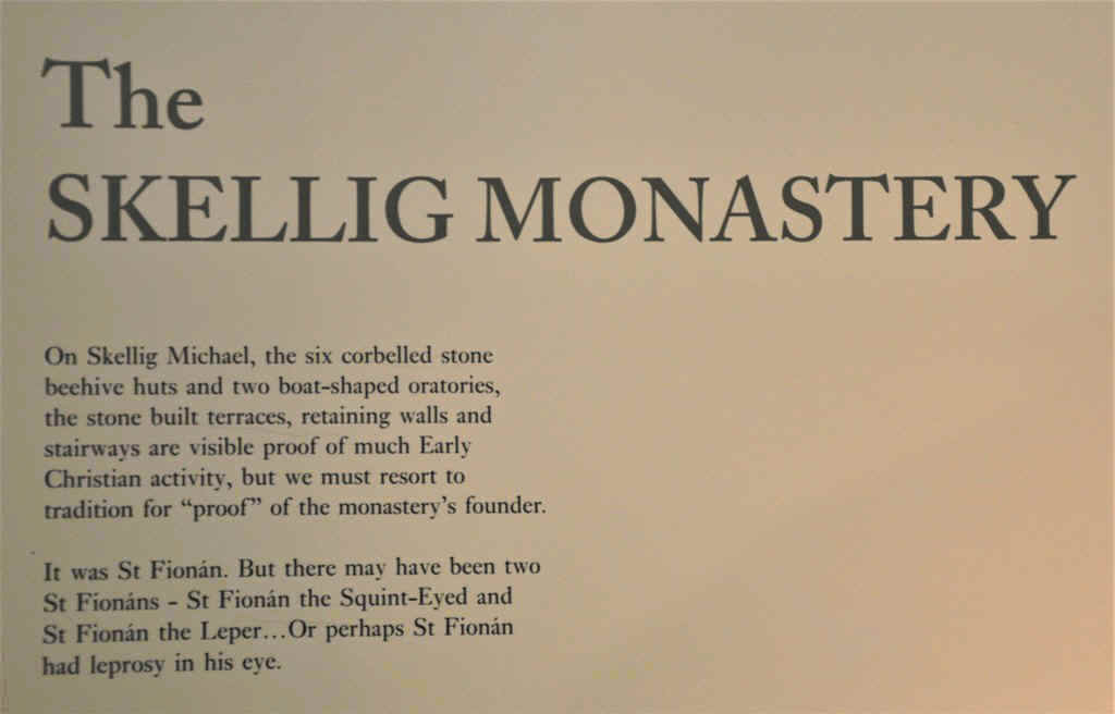
Quite a walk up the track to the old 6th century monastery.
These photos are taken of the slide show in the visitors centre
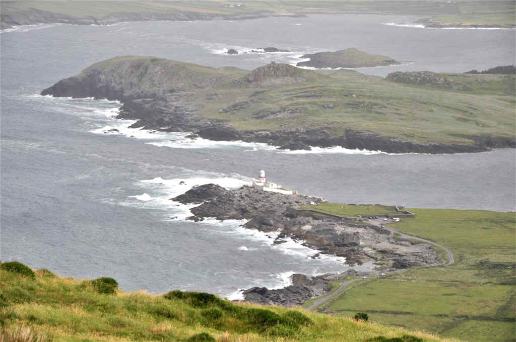
These were a series of information boards on the walk to the Fogher Cliffs This is on Valentia Island which is accessible by road from Port Magee
I don't think I could pass the test!
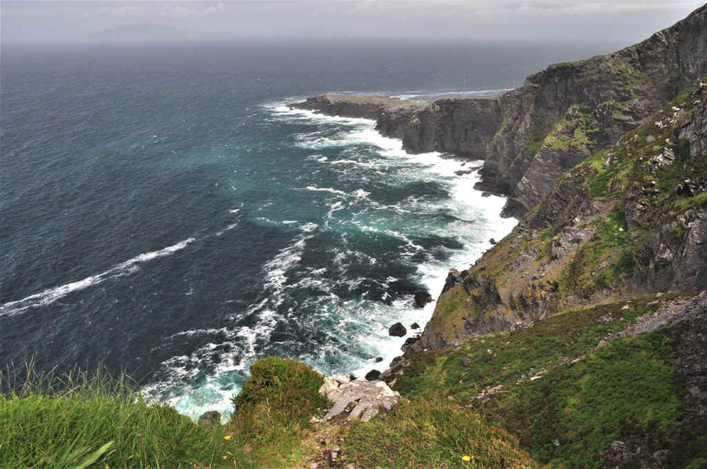
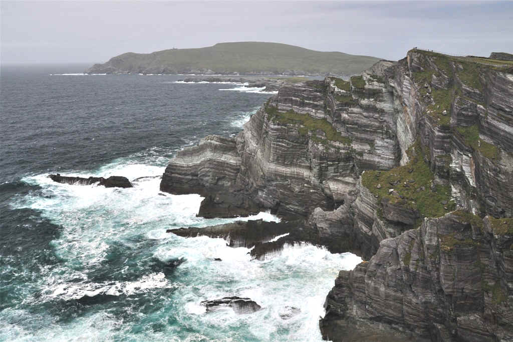
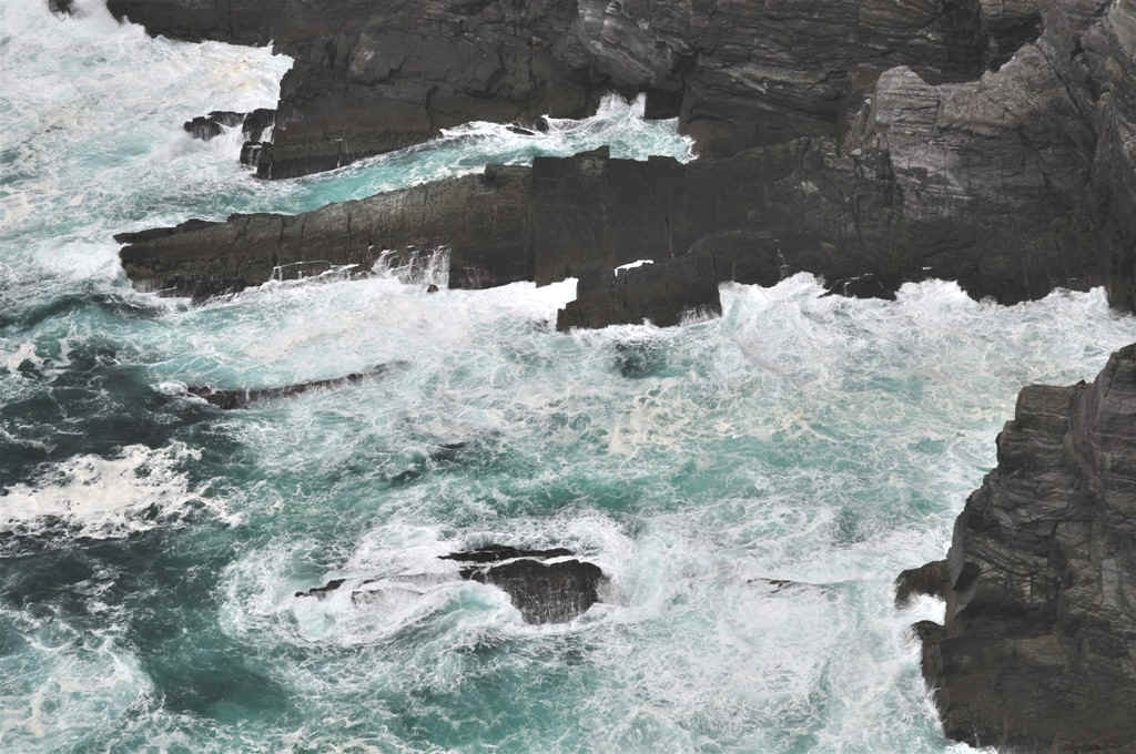
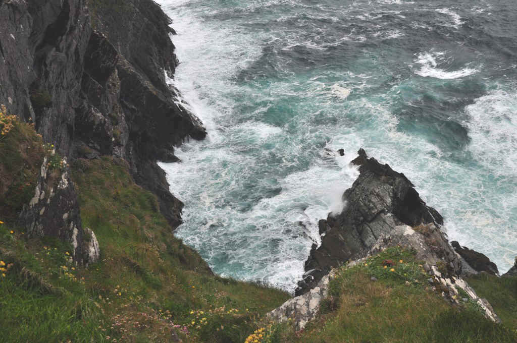
The Fogher Cliffs looking SW
Looking NE
Great view from the top of Geokaun Mountain
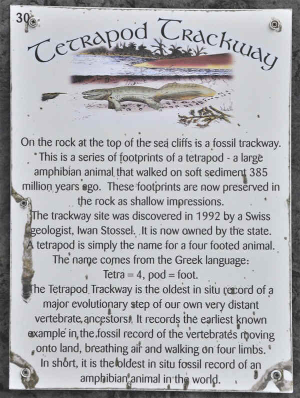
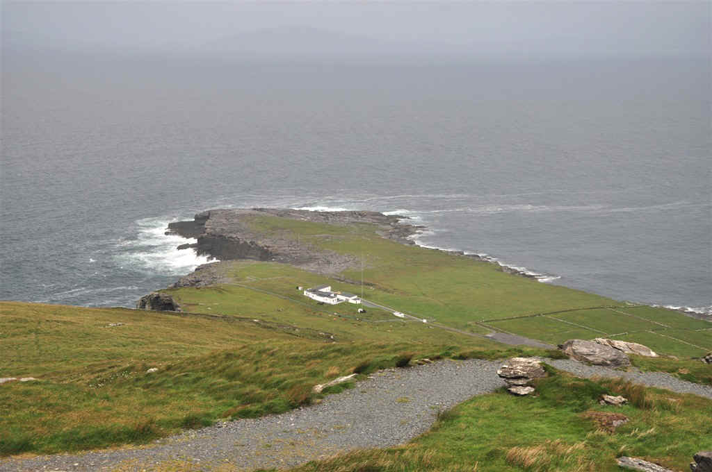
The Tetrapod Trackway is down on this point which is accessible by road from Knight's Town
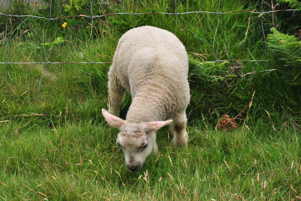
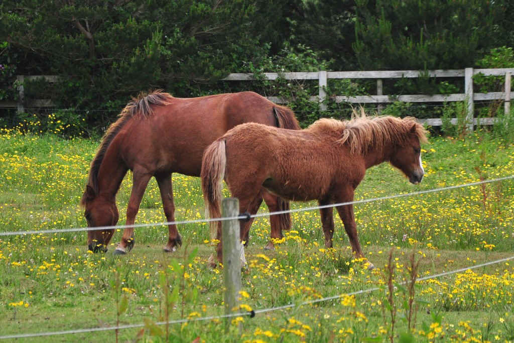
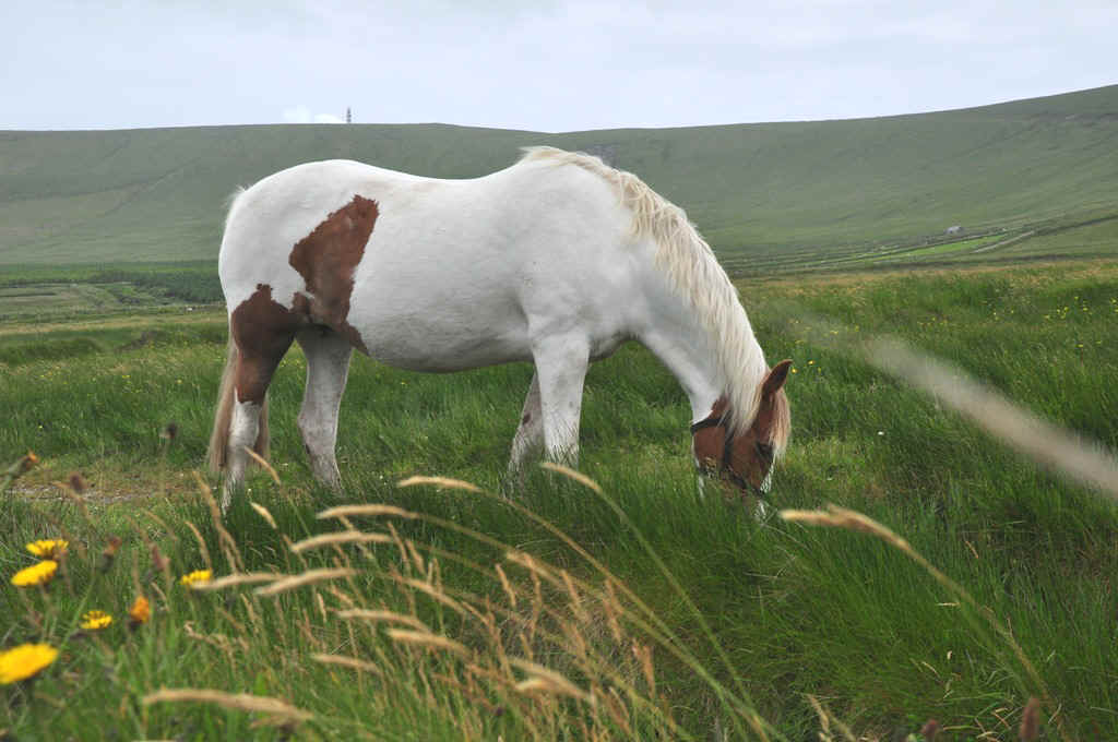
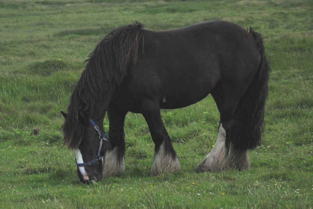
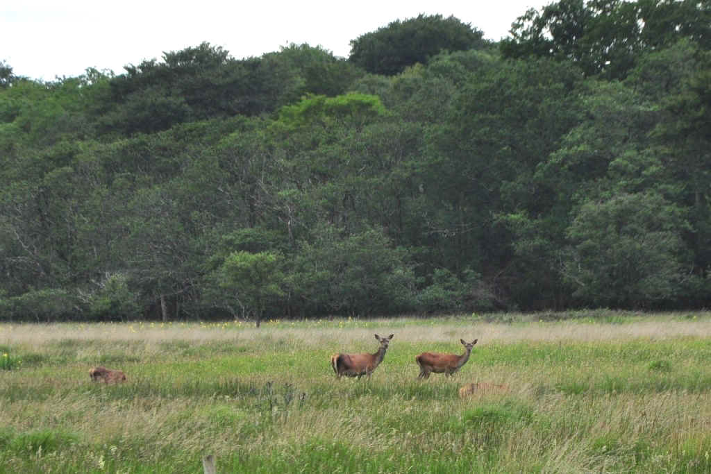
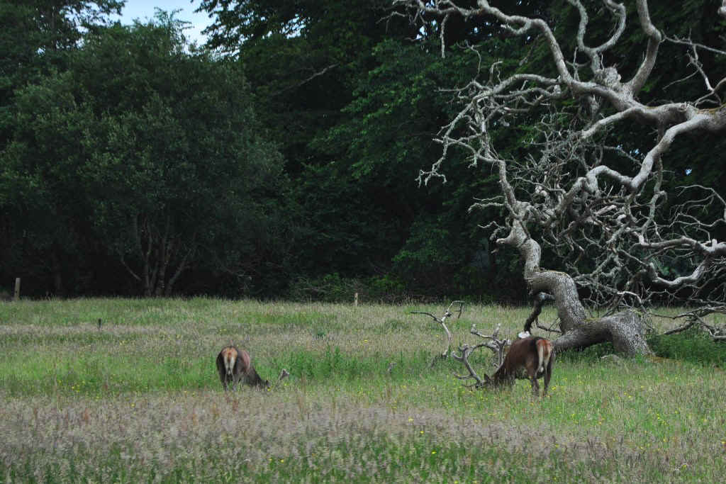
Most likely a Kerry Pony
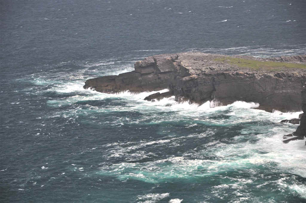
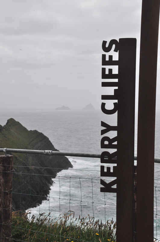
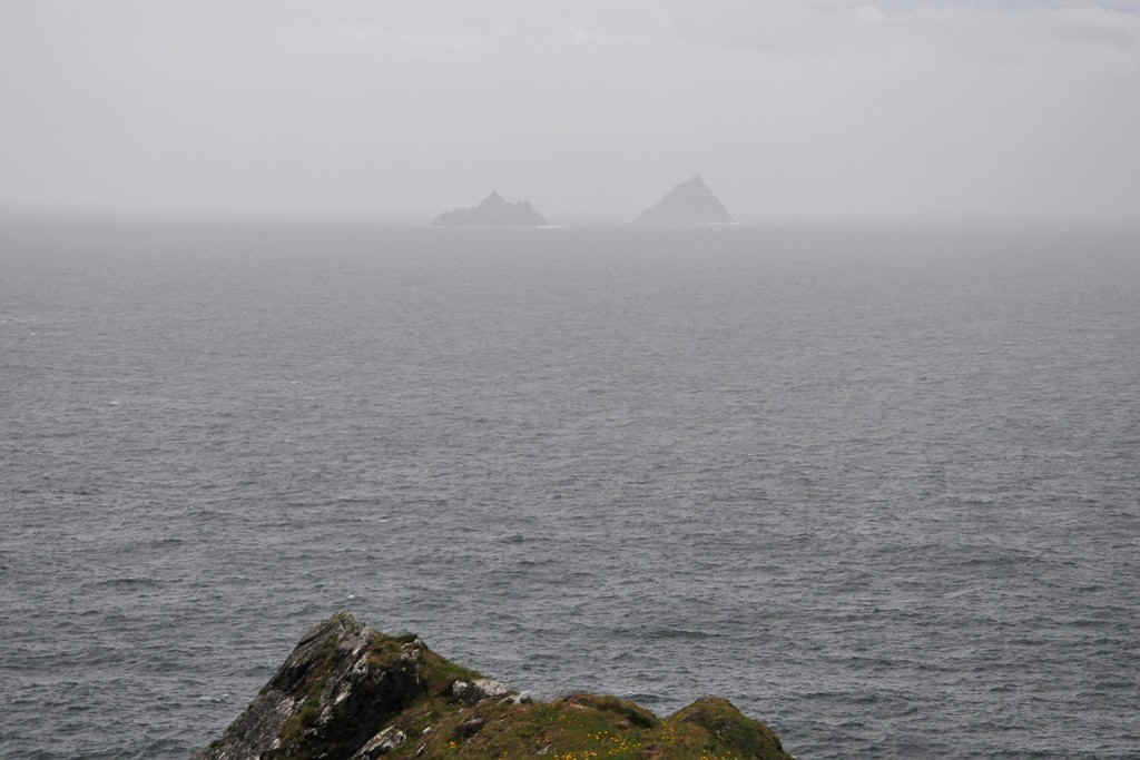
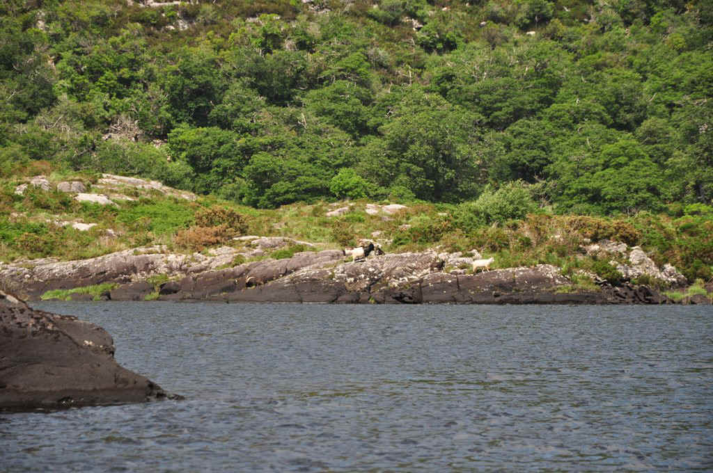
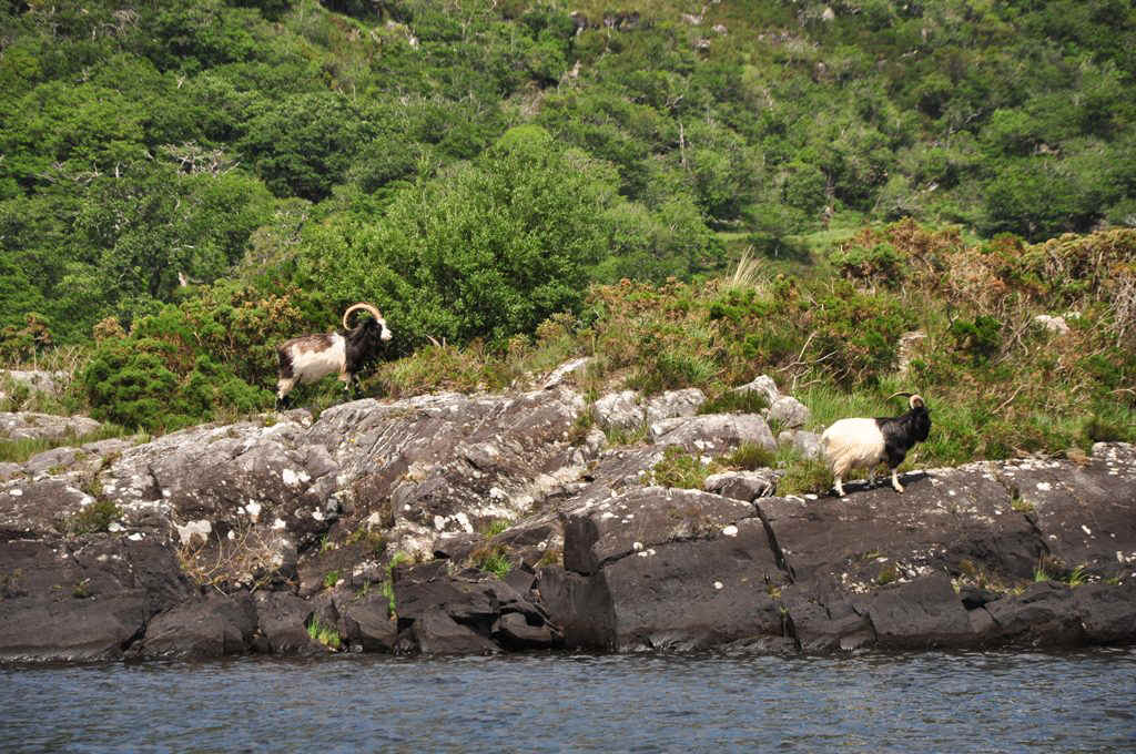
Kerry Cliffs with the Skellig Islands in the background.
Kerry Cliffs
The Skellig Isalnds
A nice little beach near Keel
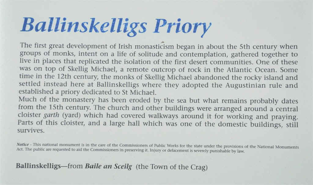
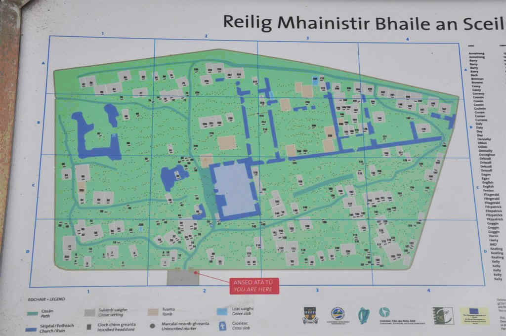
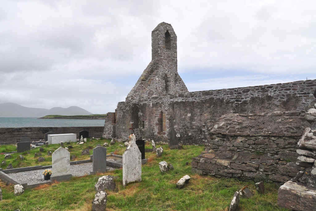
Plan of Ballinskelligs
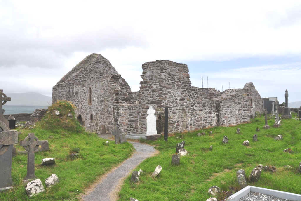
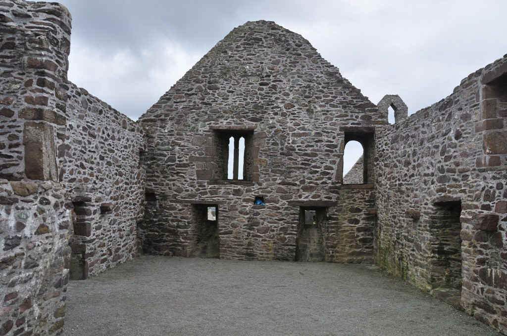
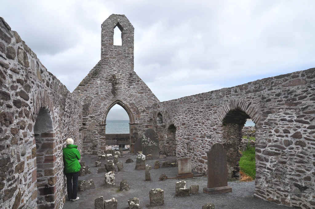
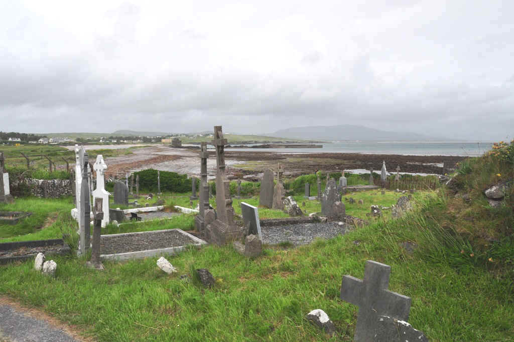
Ruins of the Priory and cemetery at Ballinskelligs
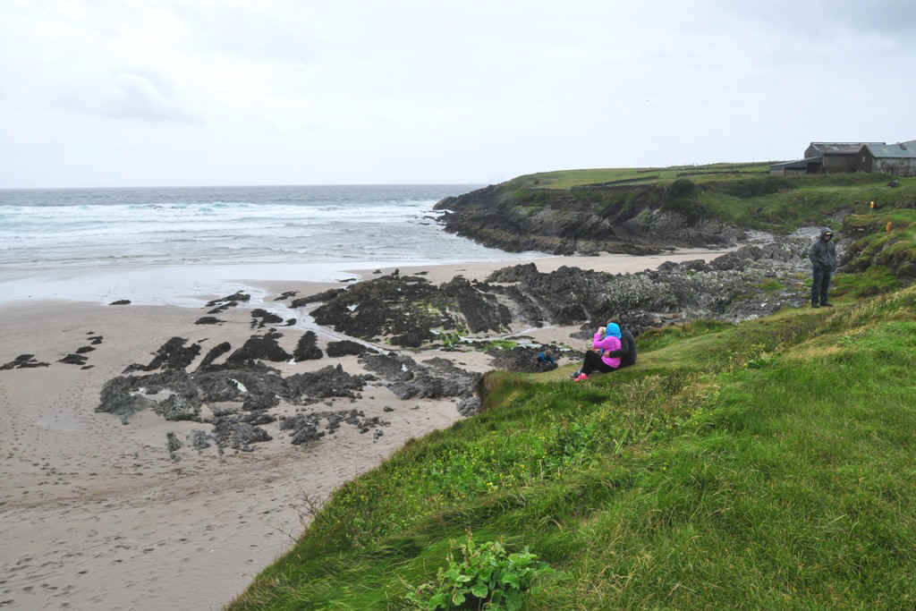
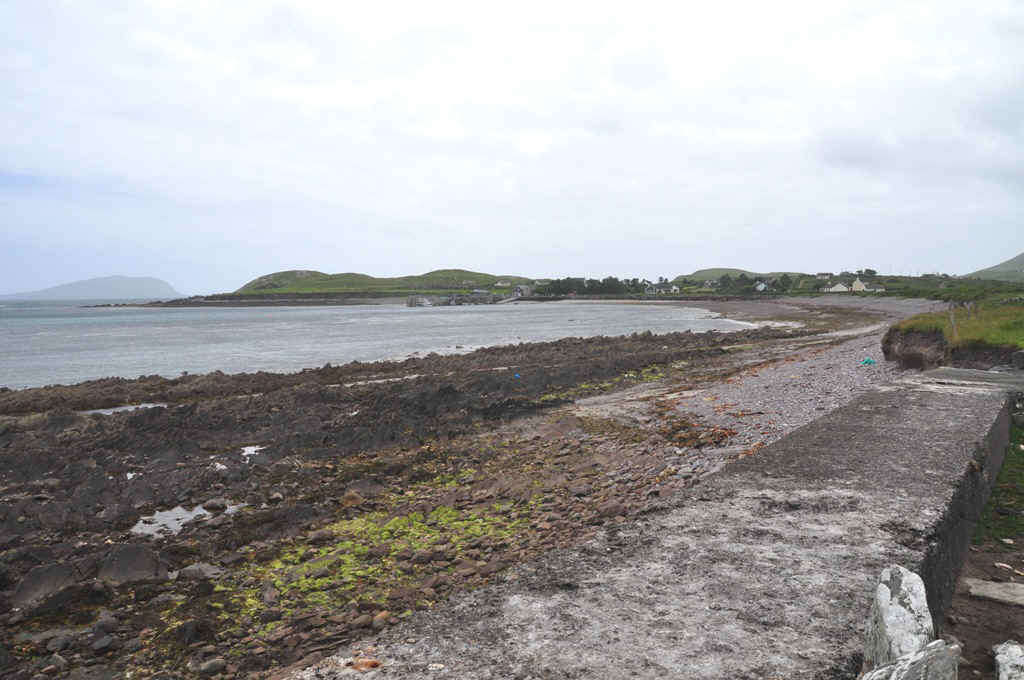
Shoreline near the Priory
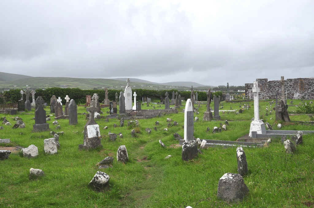
Cemetery
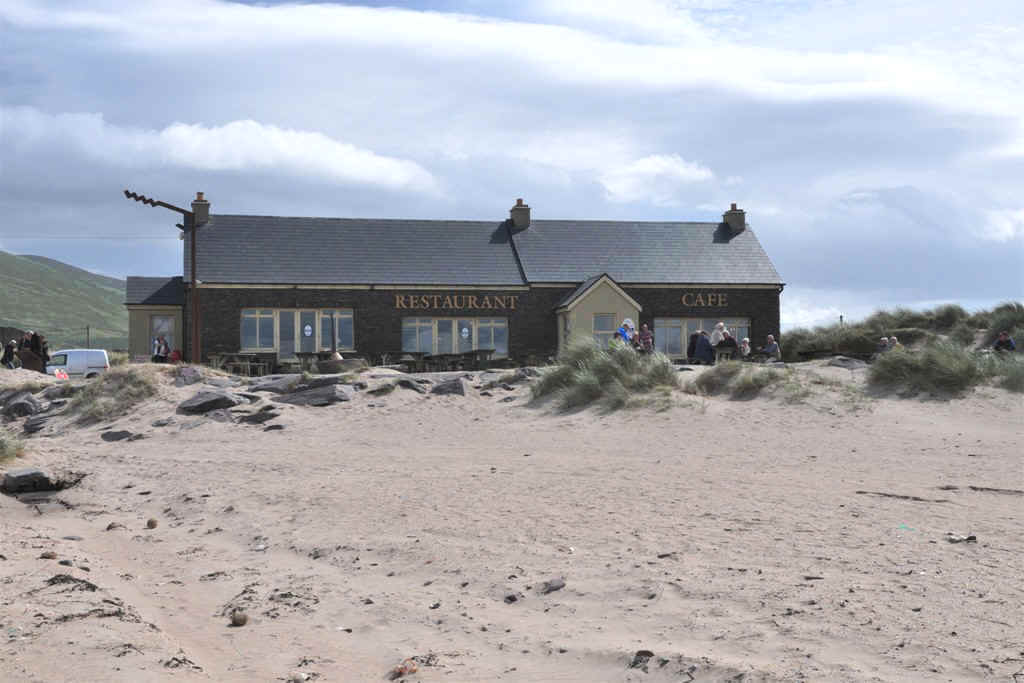
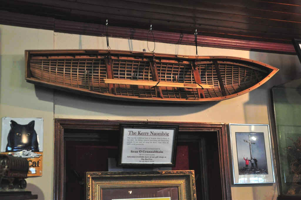
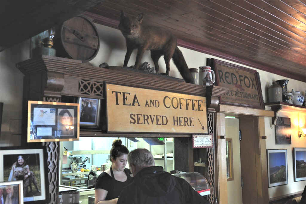
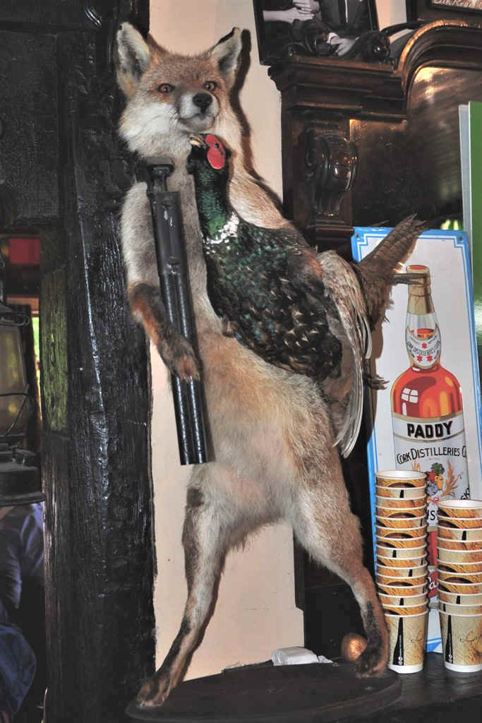
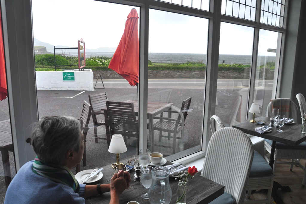
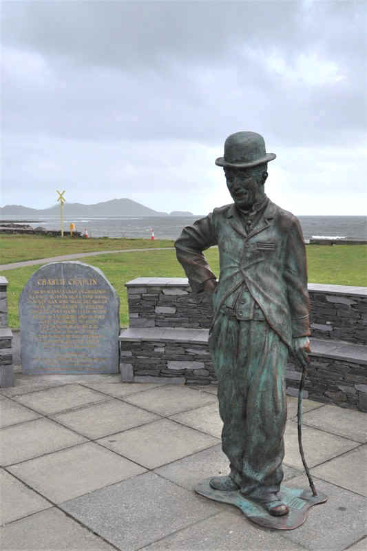
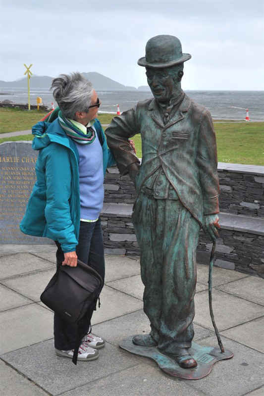
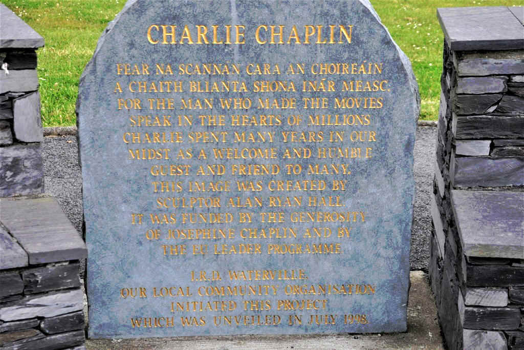
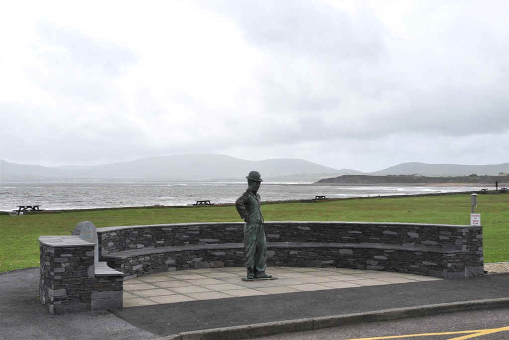
Time for a coffee break and as we are not travelling with the motorhome, we needed a restaurant. This place has often seen someone we all know
and a memorial to him is on a place on the foreshore in Waterville.
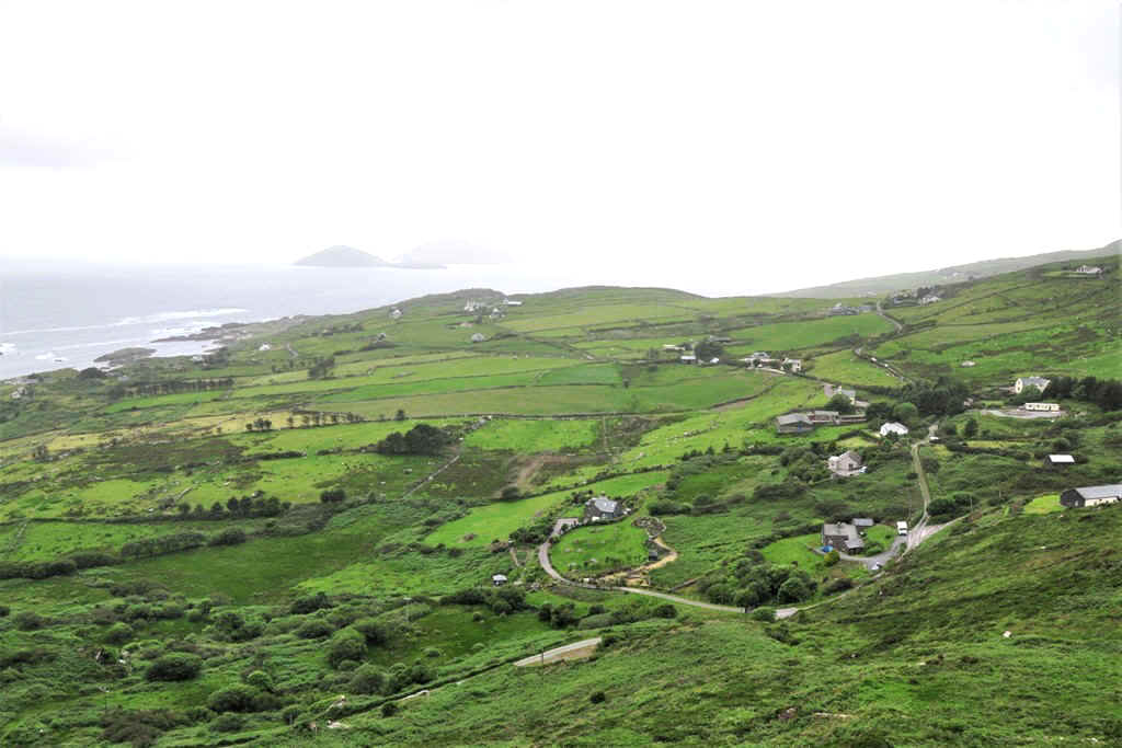
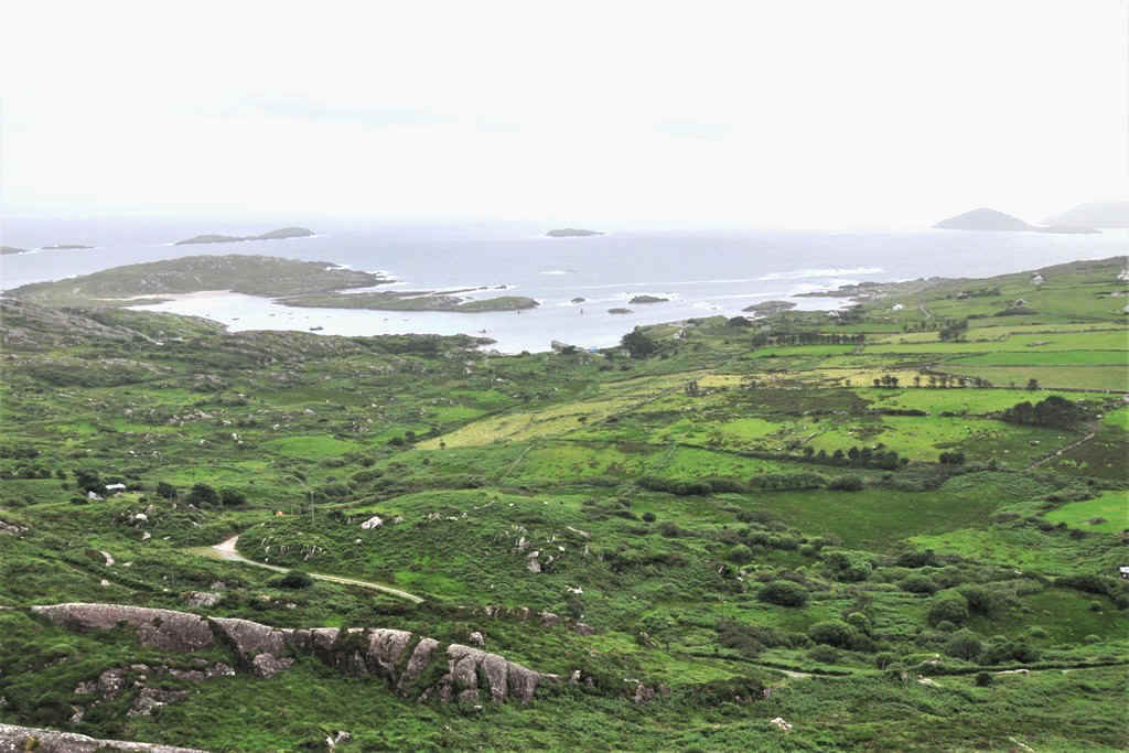
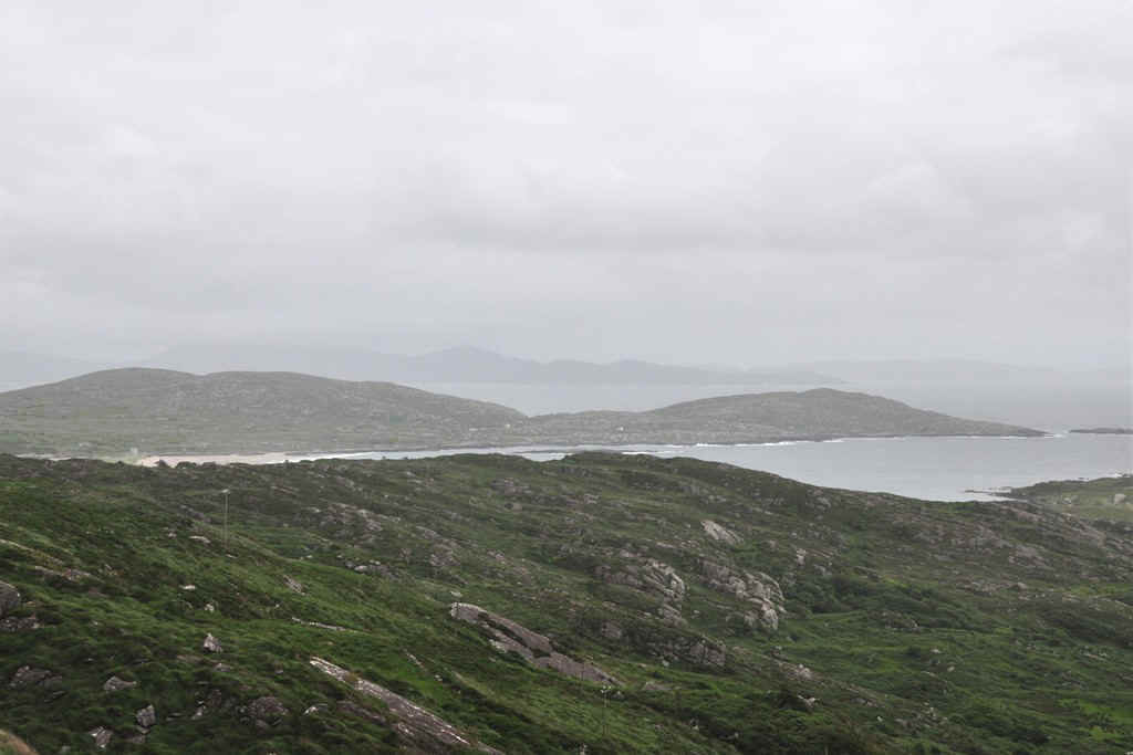
Viewpoint on the road between Reen and Caherdaniel
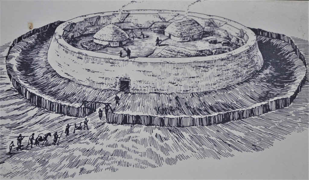
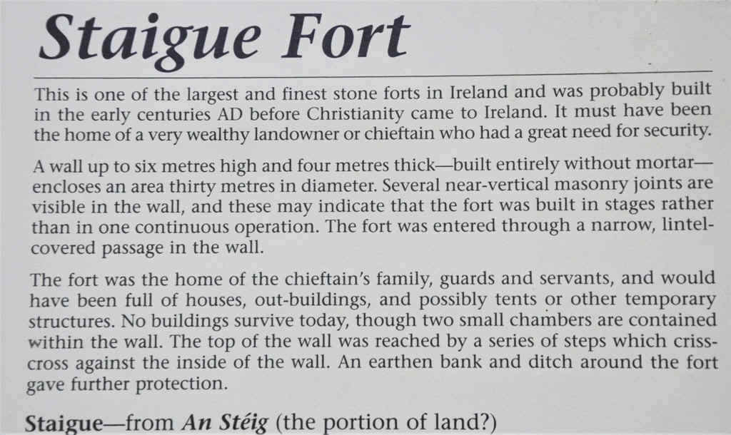
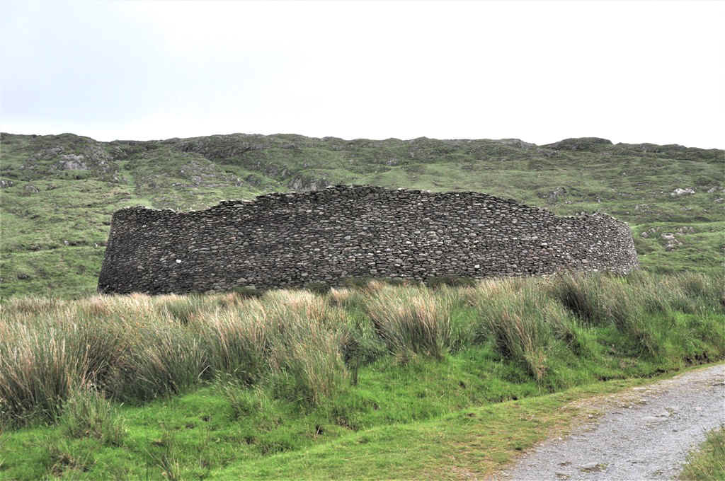
The small road to Staigue Fort turns off the N70 near Castle Cove
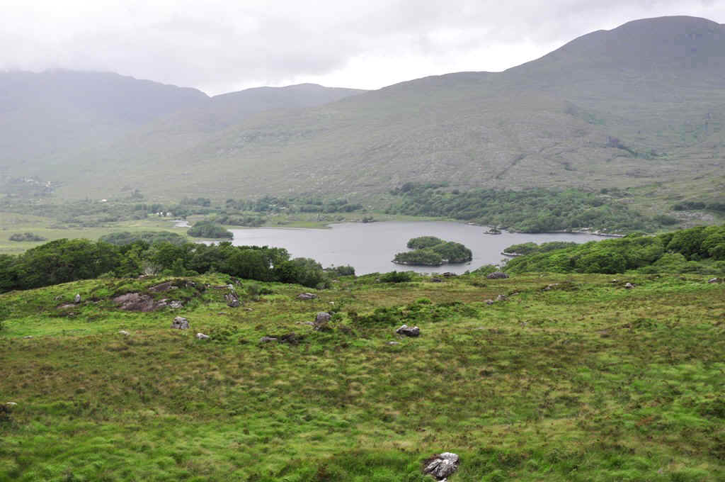
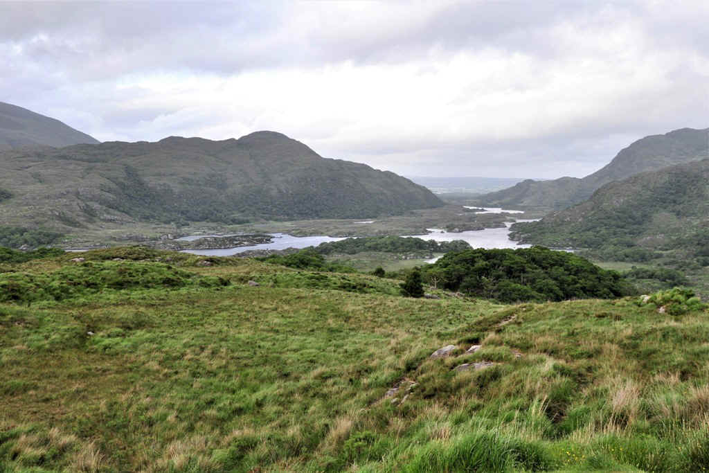
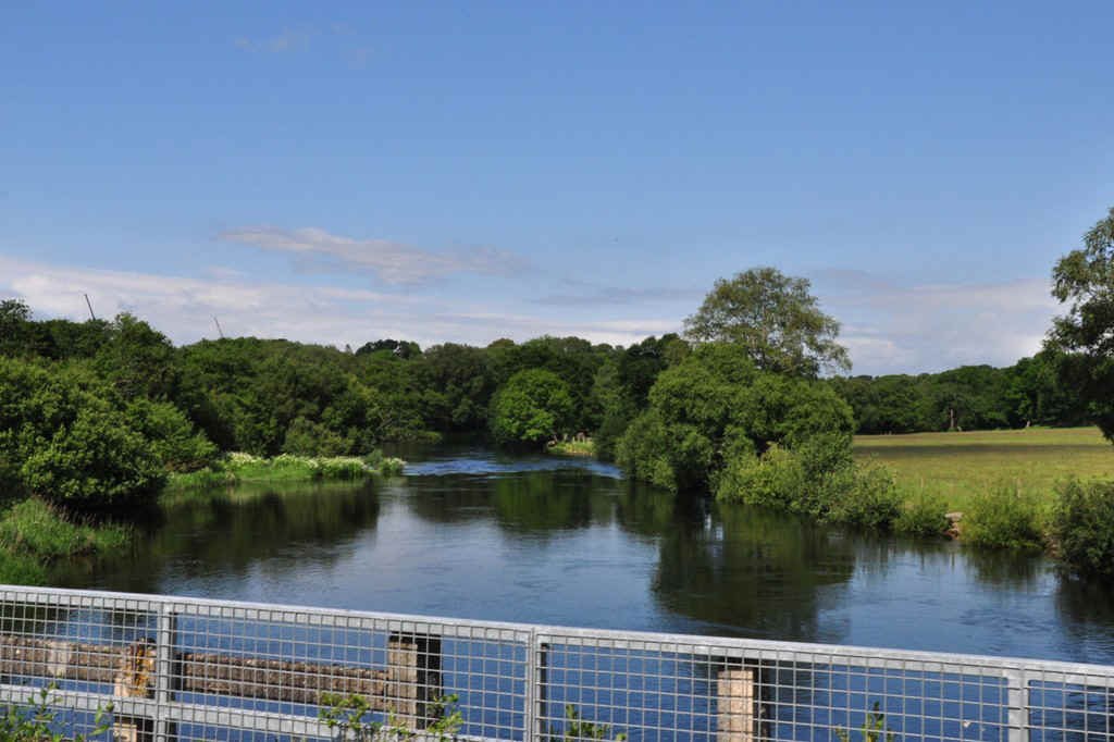
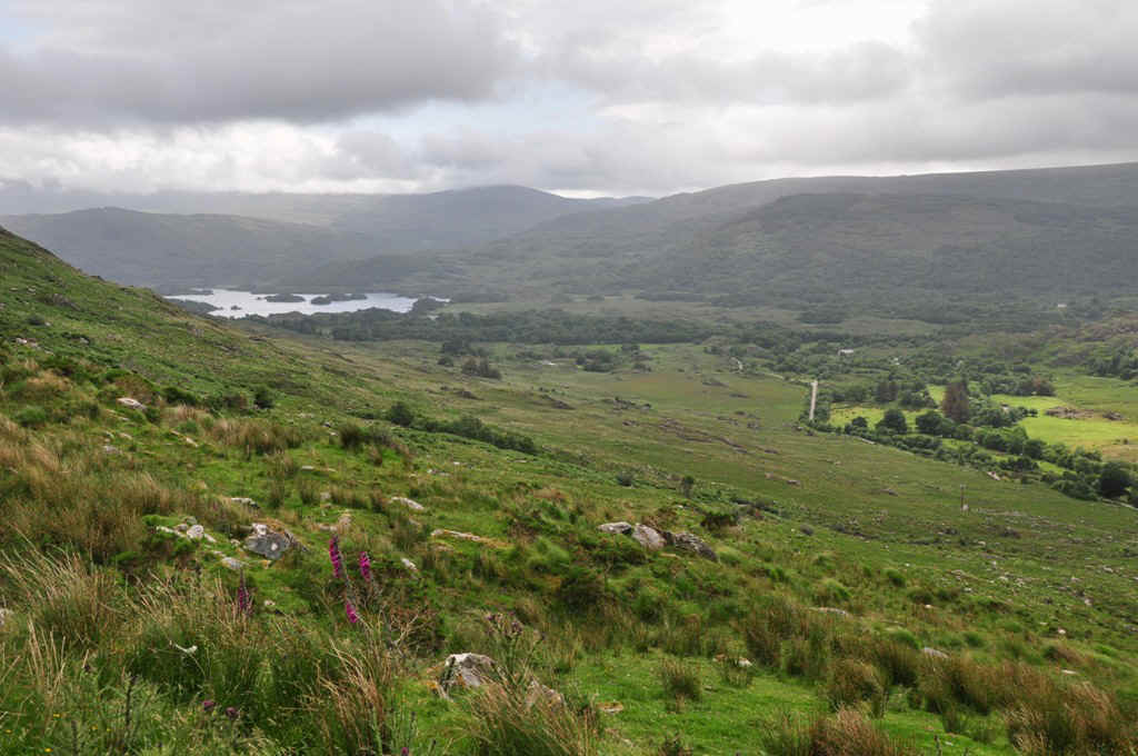
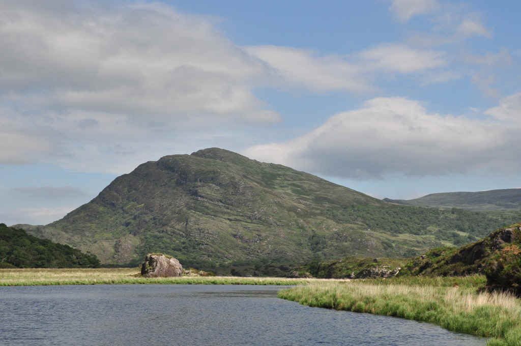
On the road to Enniskillen we stopped at "Ladies View" to see the Upper lake and parts of the river.
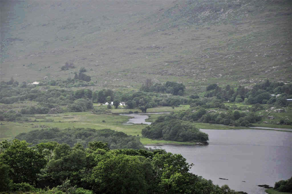
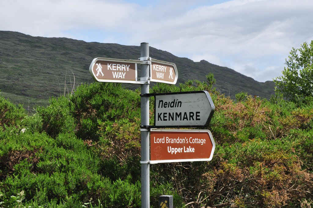
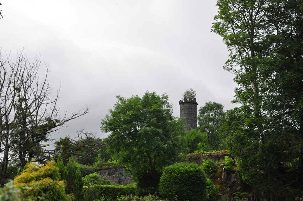
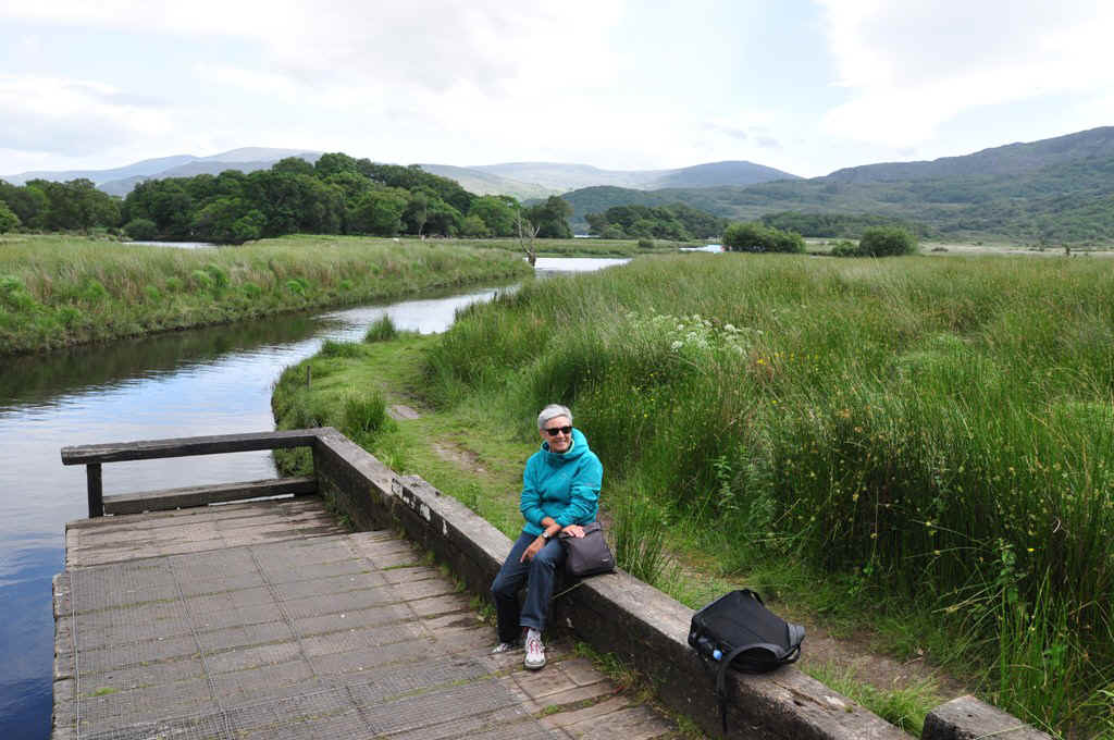
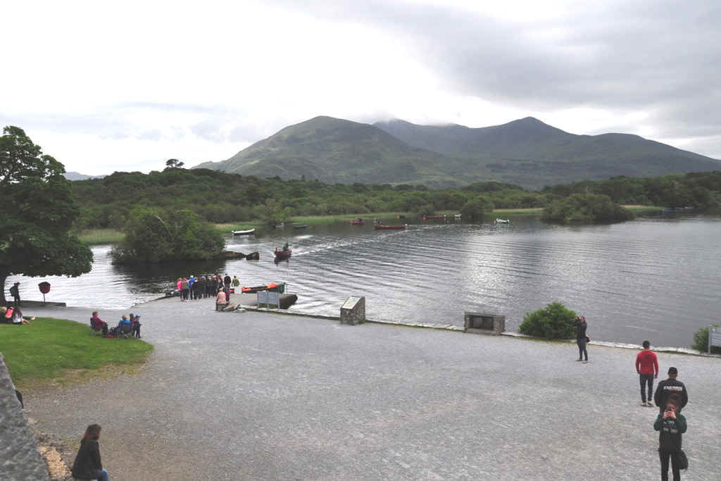
In the background here is Brandon's Cottage, which will be our destination tomorrow by bike. From here were were taken by boat back to Ross Castle
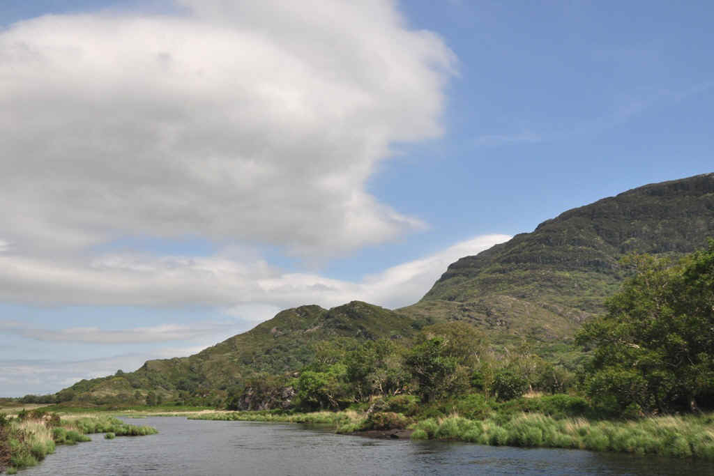
Here one can tee the river and small lakes.
It was one of our best days of the tour.
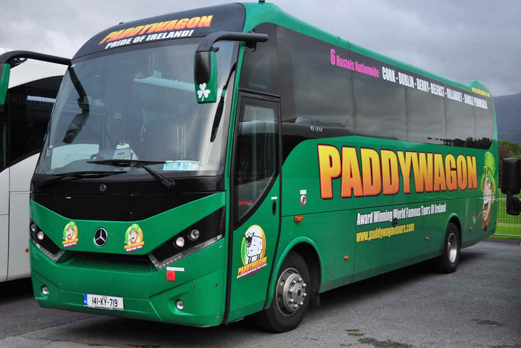
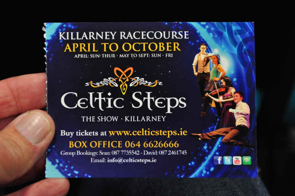
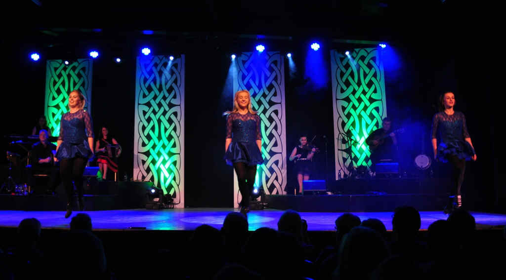
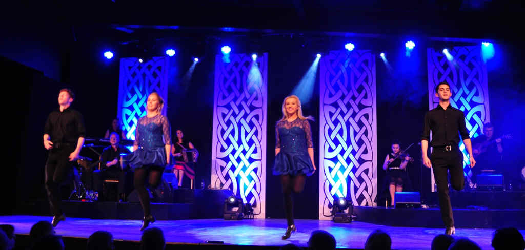
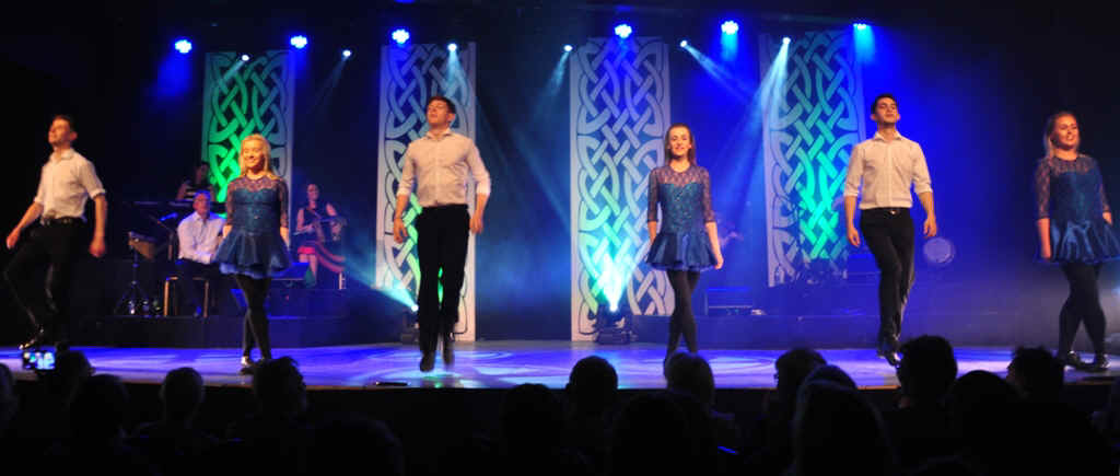
In the evening we went in the Paddywagon to a performance of Celtic Dancing.
The show was very commercial and a bit overdone.
They certainly had a lot of spectators.
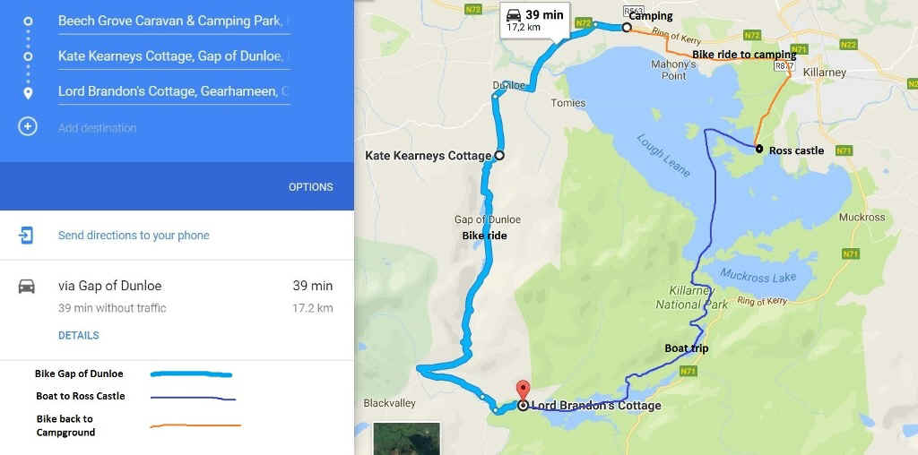
Day 9 Bike ride over the Gap of Dunloe then by boat to Ross Castle and by bike through the park back to the campground.
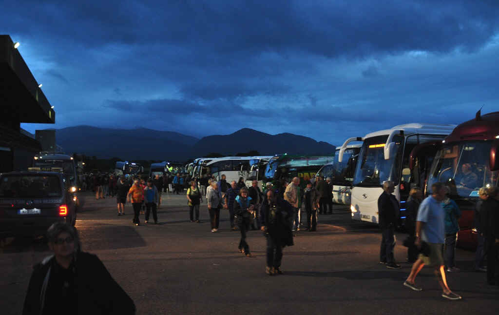
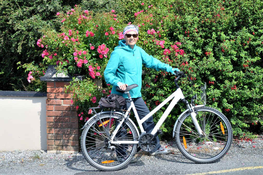
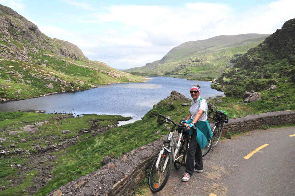
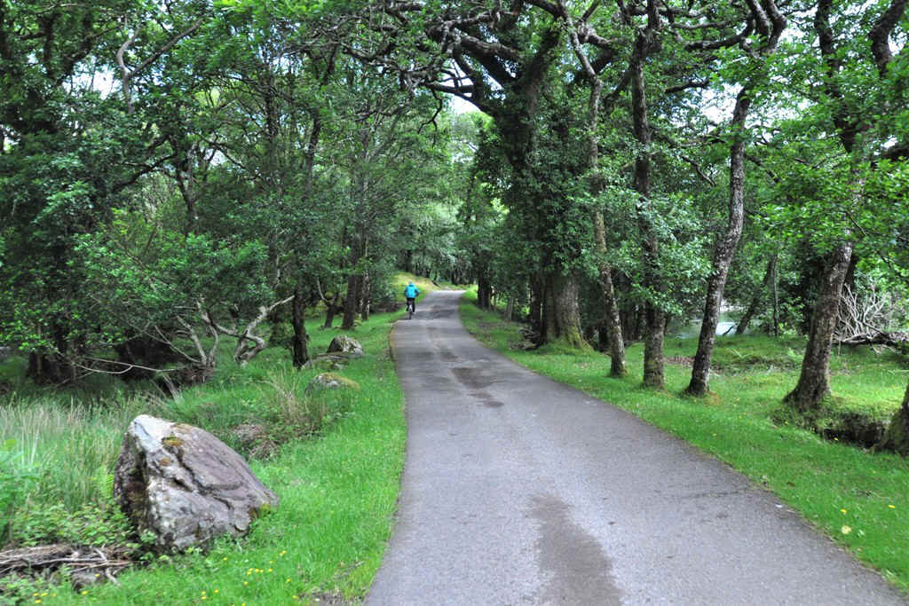
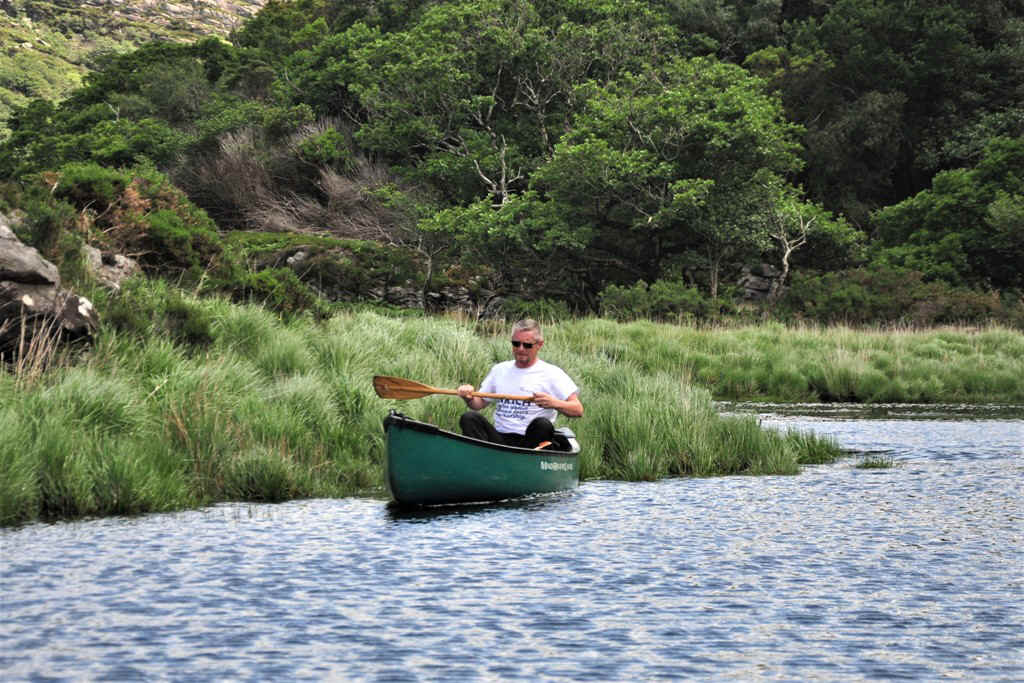
Our hire car had a rest today and we took to the bikes. I thought that the route was closed to normal traffic, but that was not the case. It was great to be able to take the bikes on the boat down stream to Ross Castle, then to ride through the park back to the camp ground.
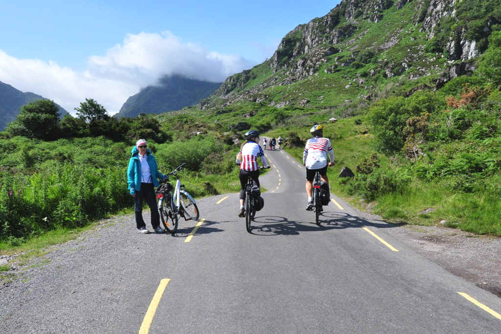
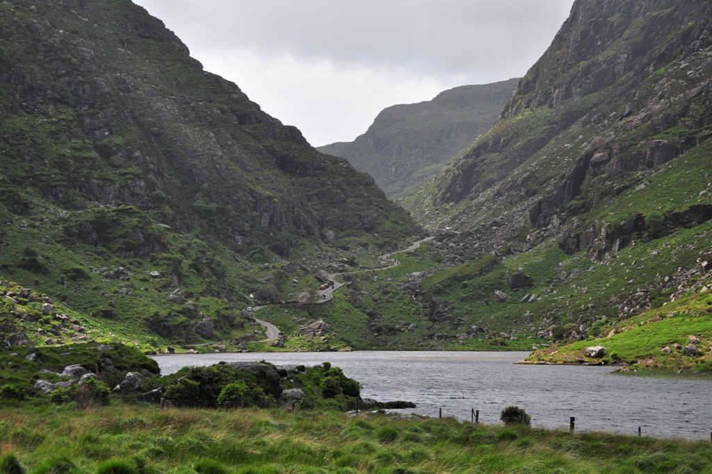
Looking up towards the Gap of Dunloe
The highest mountain in Ireland, Carrauntoohil at 1038 m, is hiding somewhere in the clouds to the right of the gap.
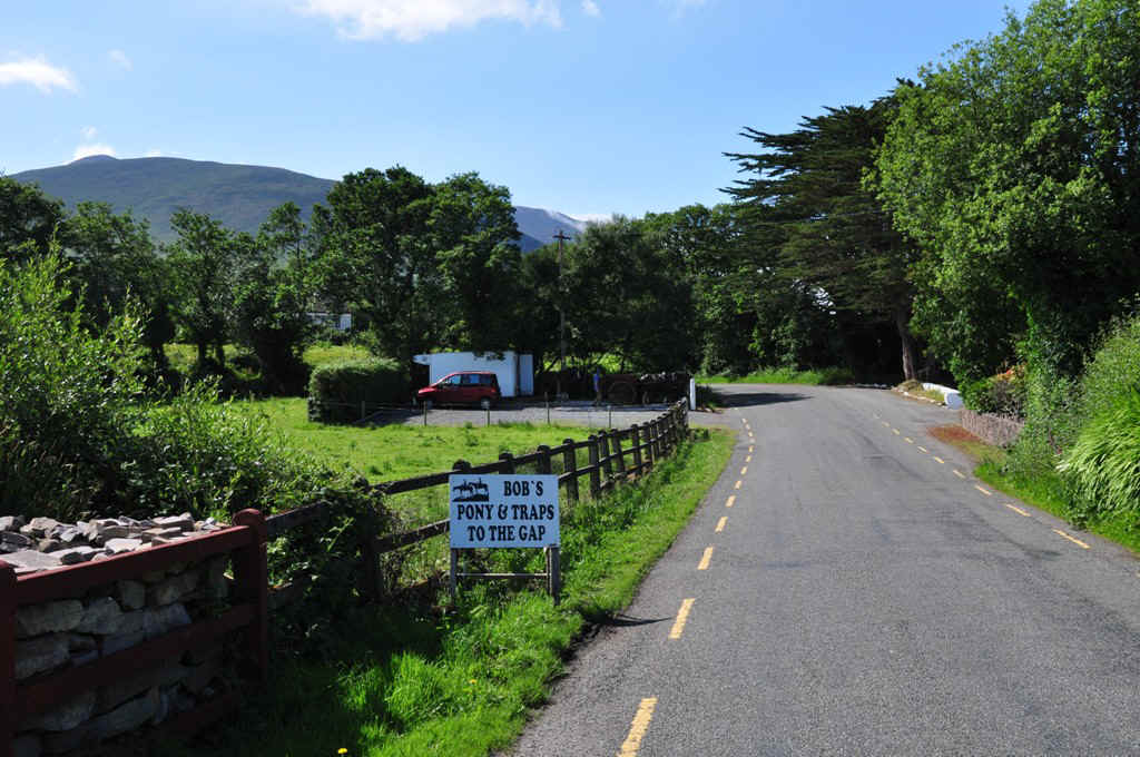
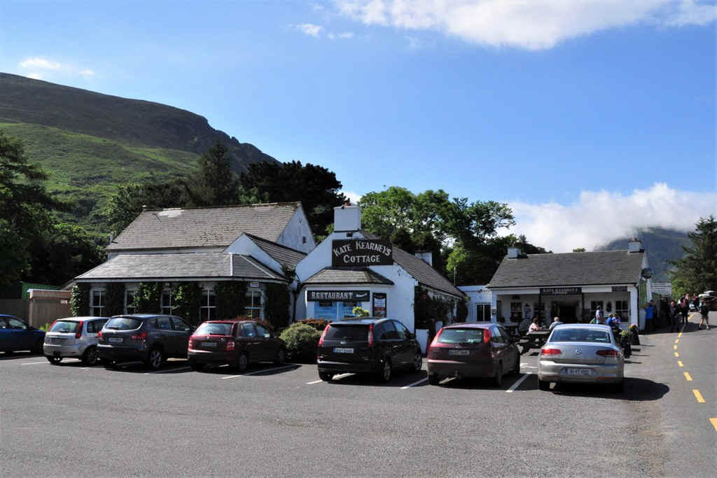
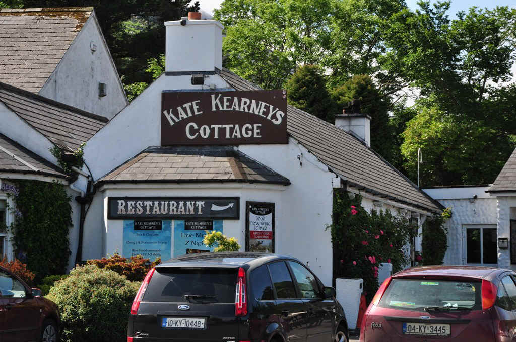
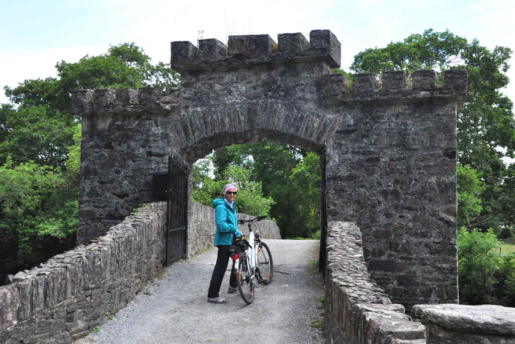
I intended to look in at Kate Kearney's Cottage, but Elisabeth was way ahead and had other ideas.
She did wait for me to catch up.
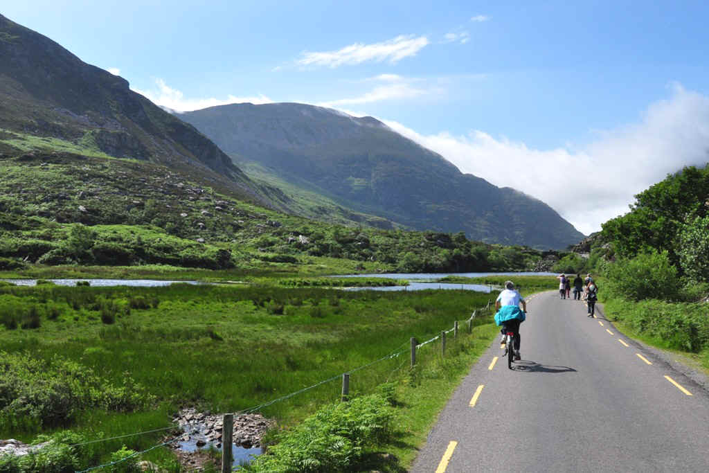
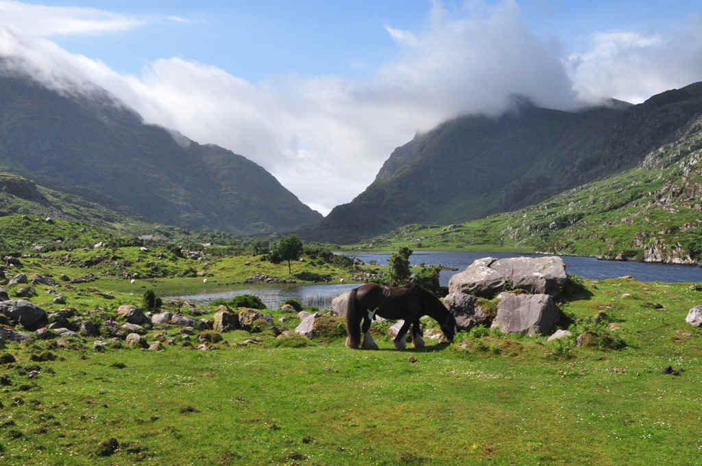
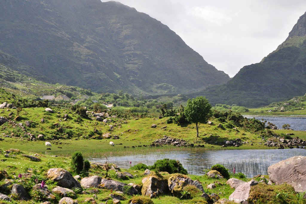
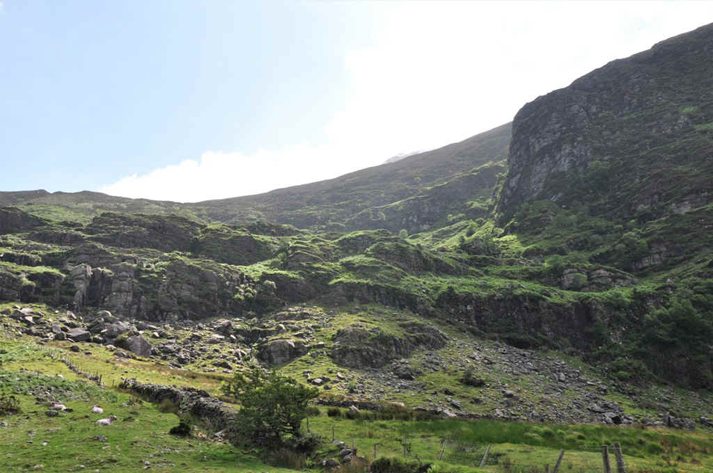
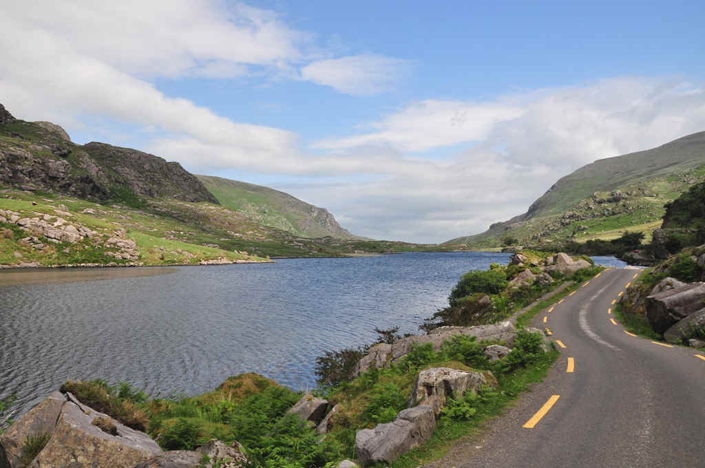
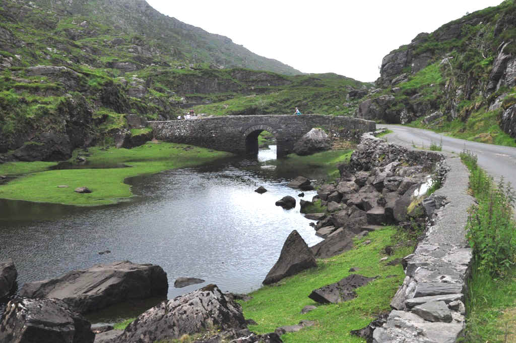
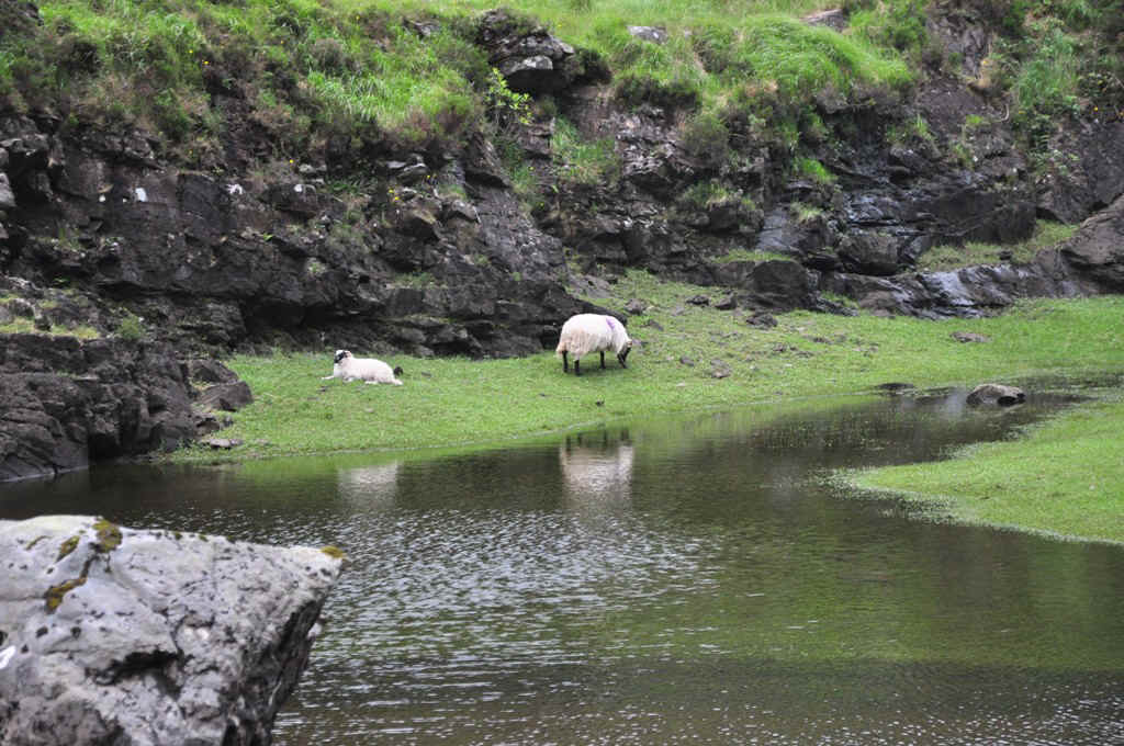
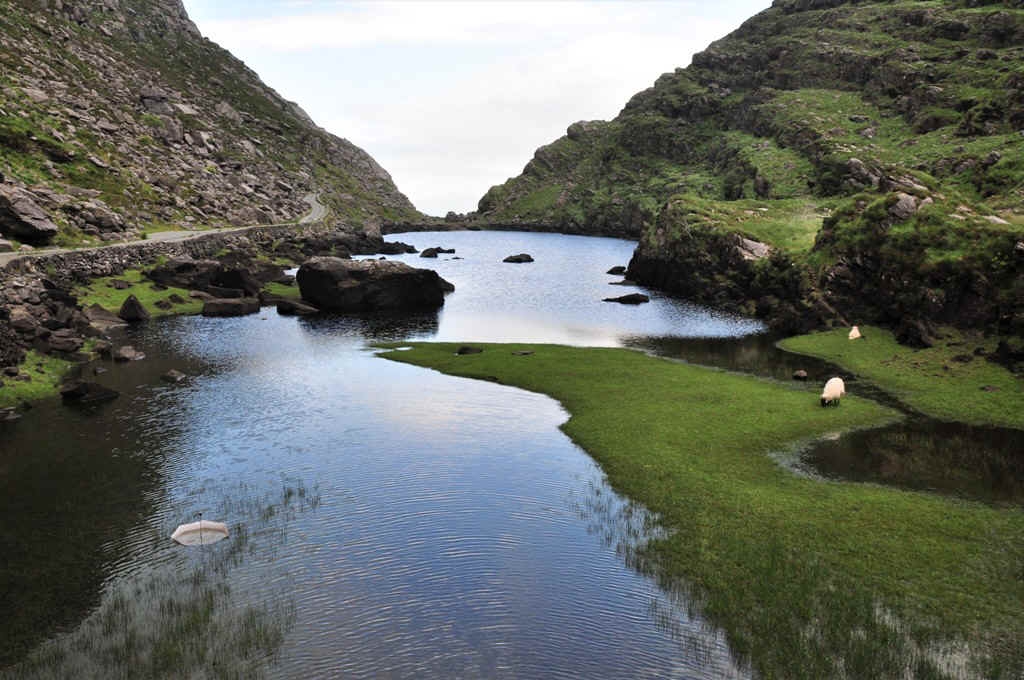
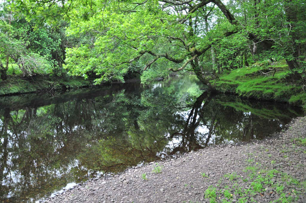
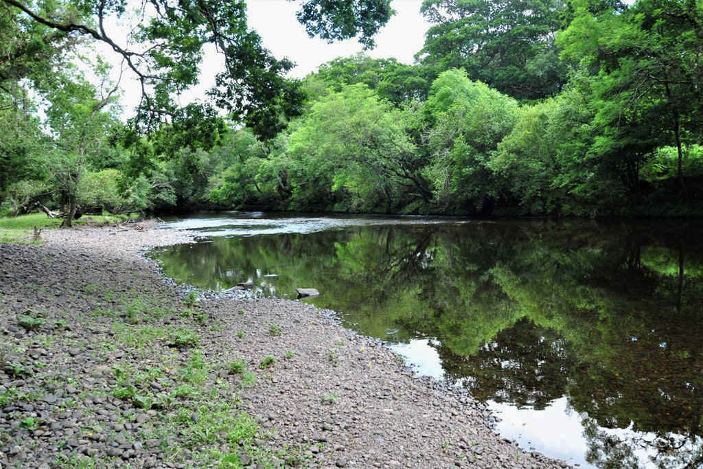
The gap road winds up the valley which has quite a few small lakes
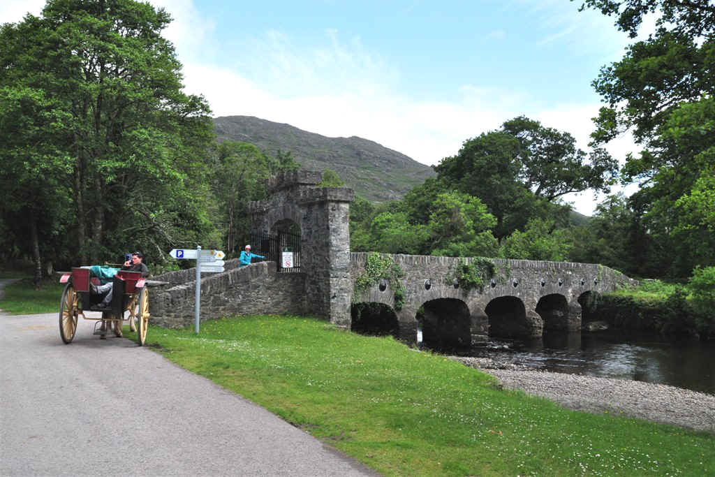
and bridges.
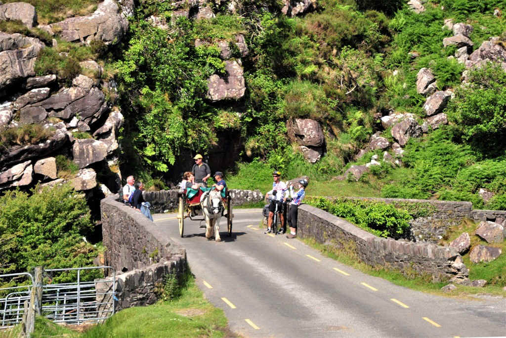
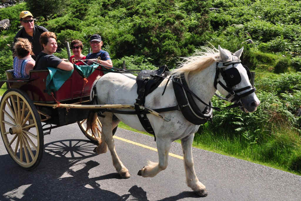
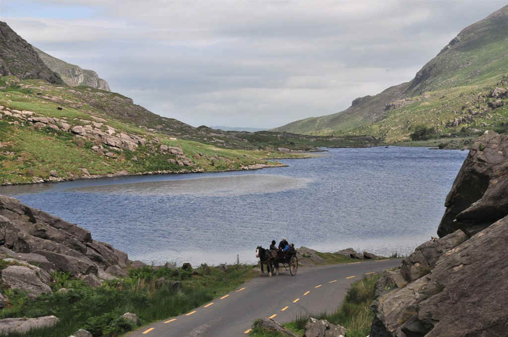
Here is a trap coming down the gap road.
Extremely picturesque country and with the bike one can stop easily to photograph.
Note the road as it winds up the hill on the far side of this lake.
Another trap.
Nearly at the top.
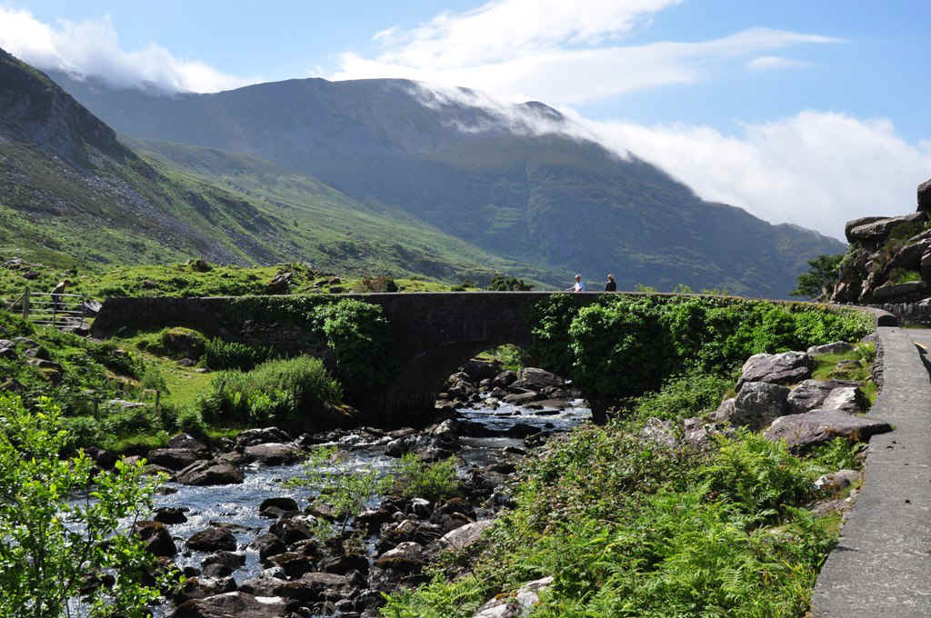
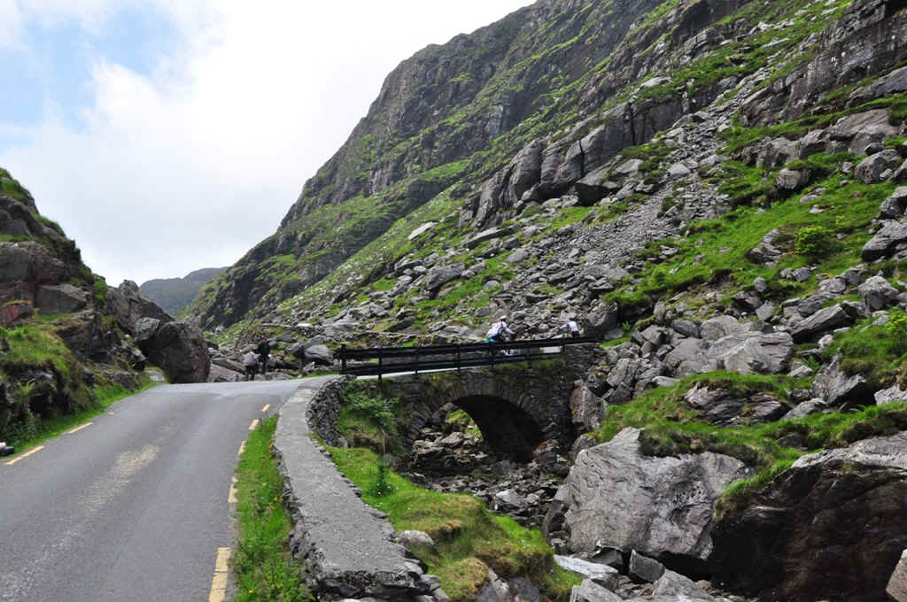
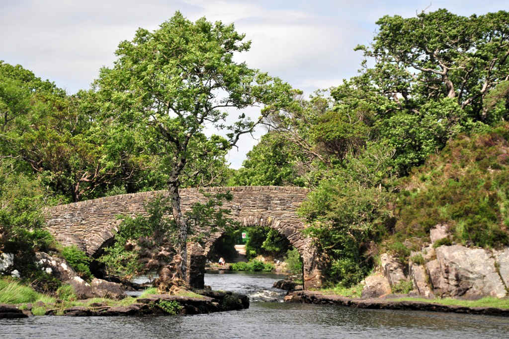
Another bridge.
Looking back again.
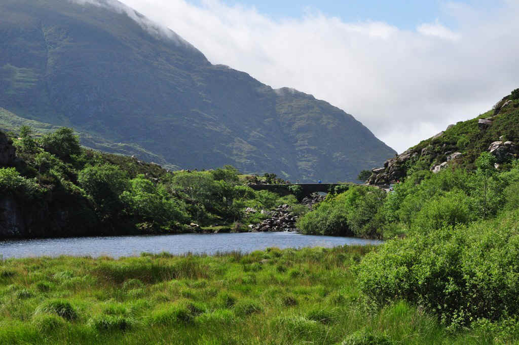
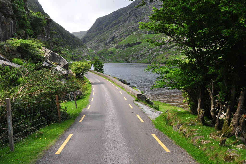
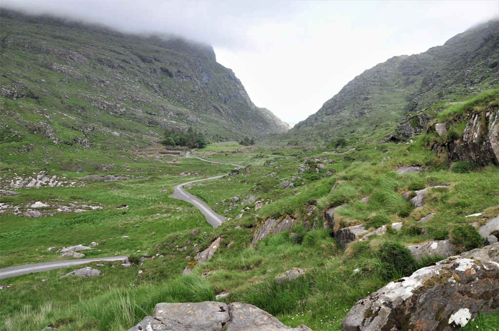
And now looking down the other side. Brandon's Cottage is on the left in the trees near the lake.
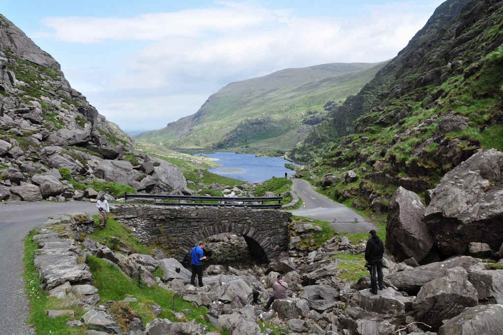
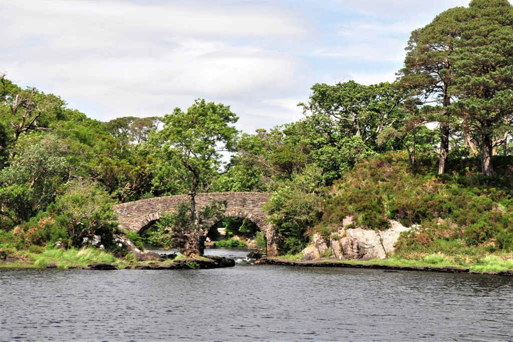
The last bridge to go over. The others we went under!
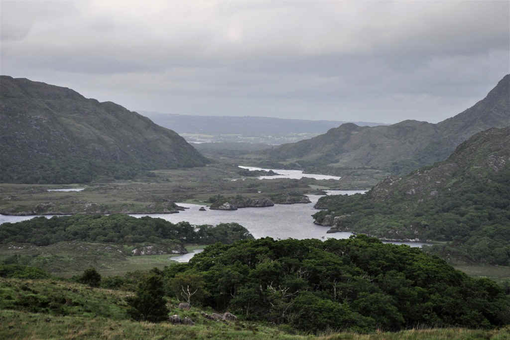
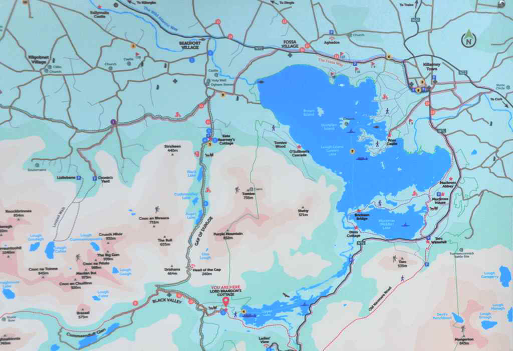
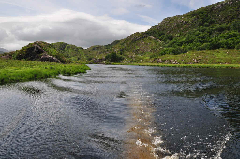
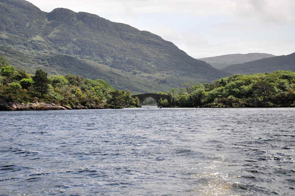
Here you can see the route over the Gap of Dunloe and the river down to Ross Castle.
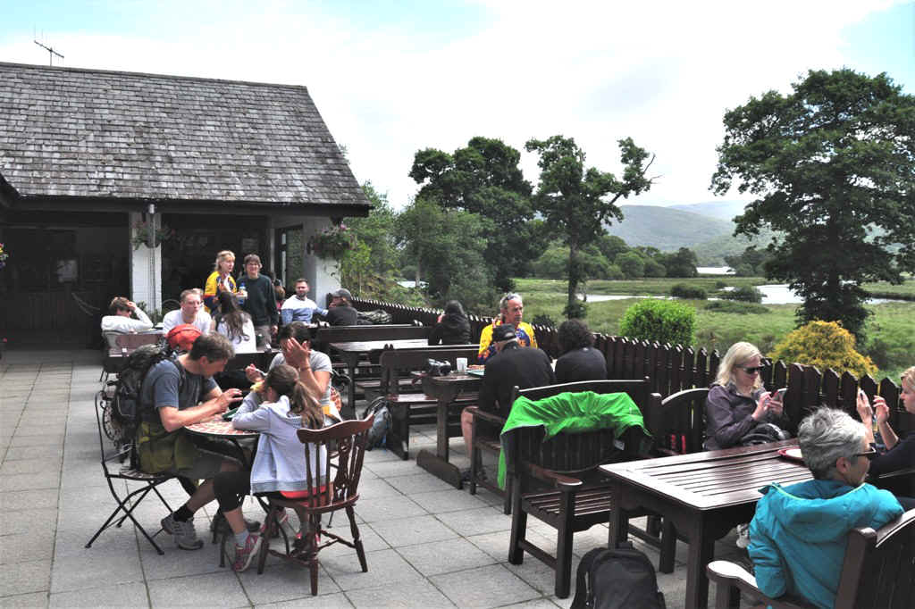
First a bite to eat!
The cottage is back in the trees here.
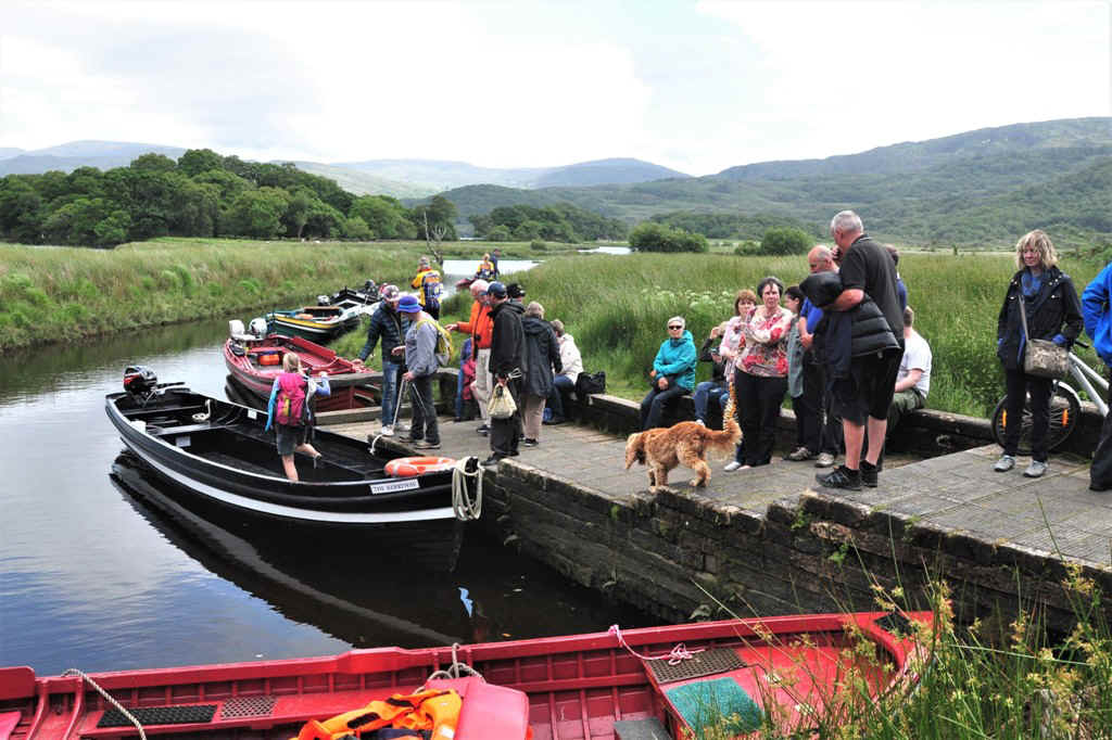
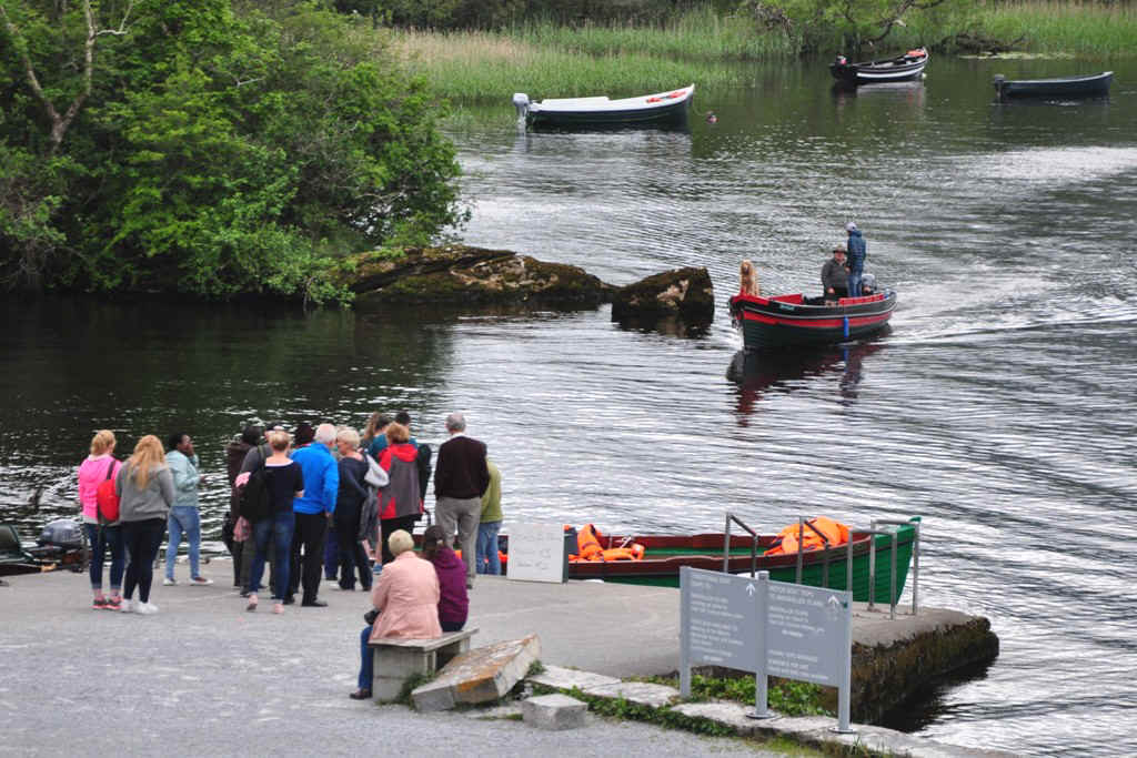
Lots of people ready to board.
but our boat is still waiting.
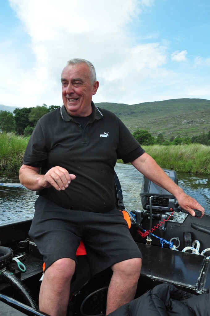
We were able to travel with Mr Donoghue himself and he was last to leave as he organised all the passengers.
Mr Donoghue
It was about here that my camera fell off the seat and from there on I had trouble with the automatic focus.
Do it yourself mode!
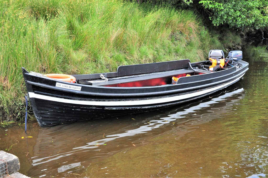
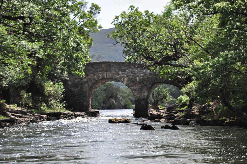
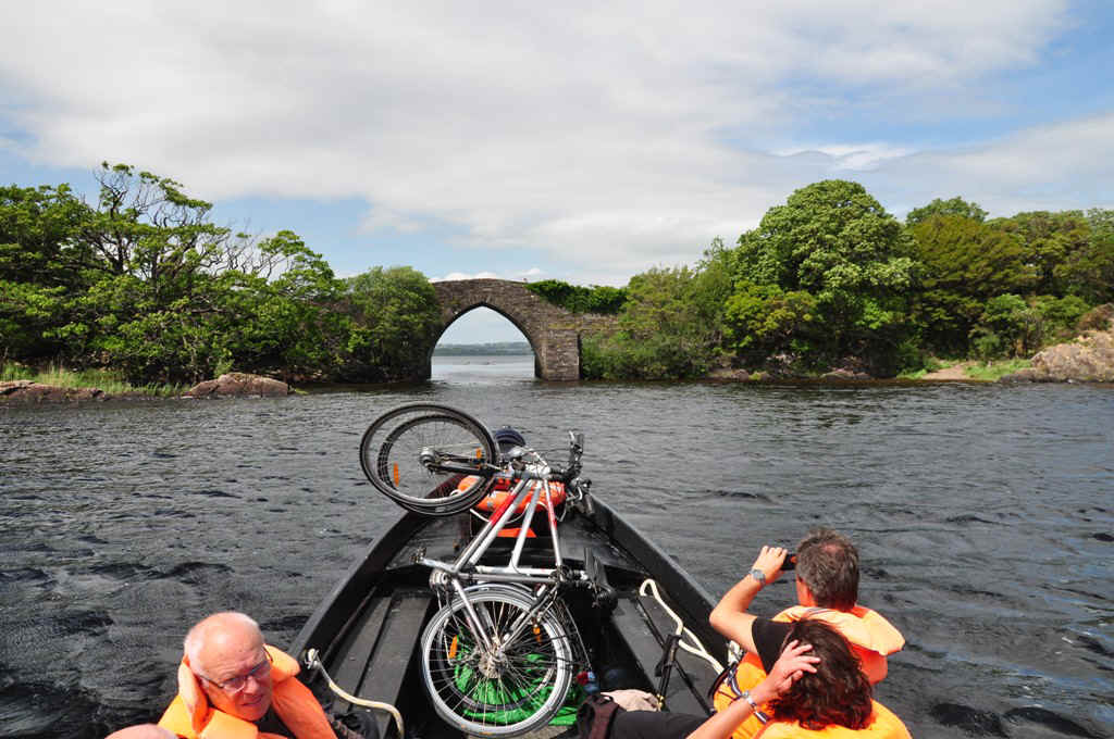
It was pretty shallow under this bridge,
but we made it through.
The next one!
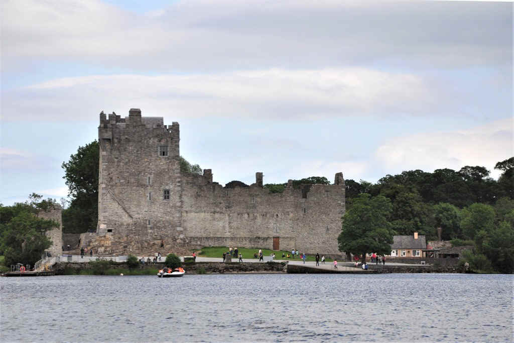
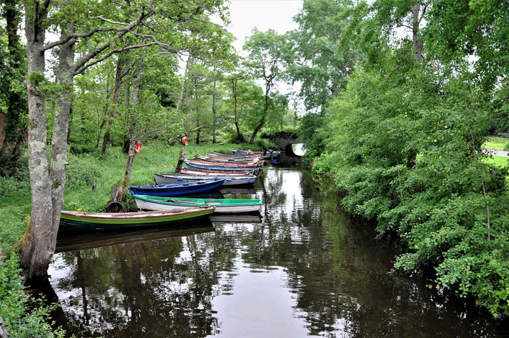
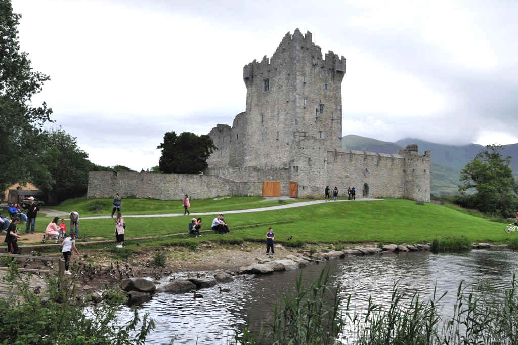
Approaching Ross Castle
Goodbye and thanks a lot!
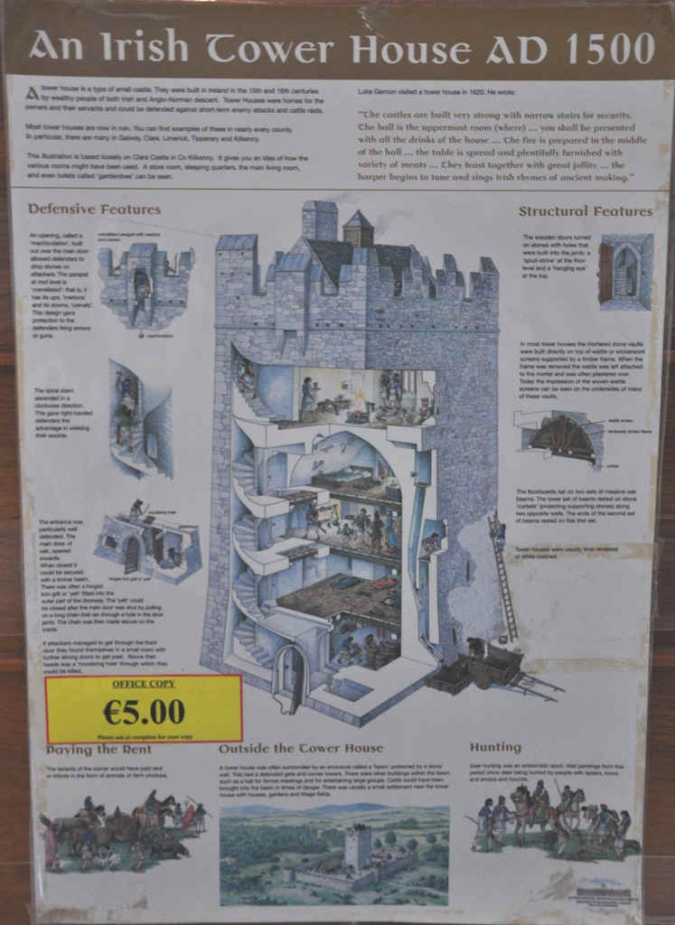
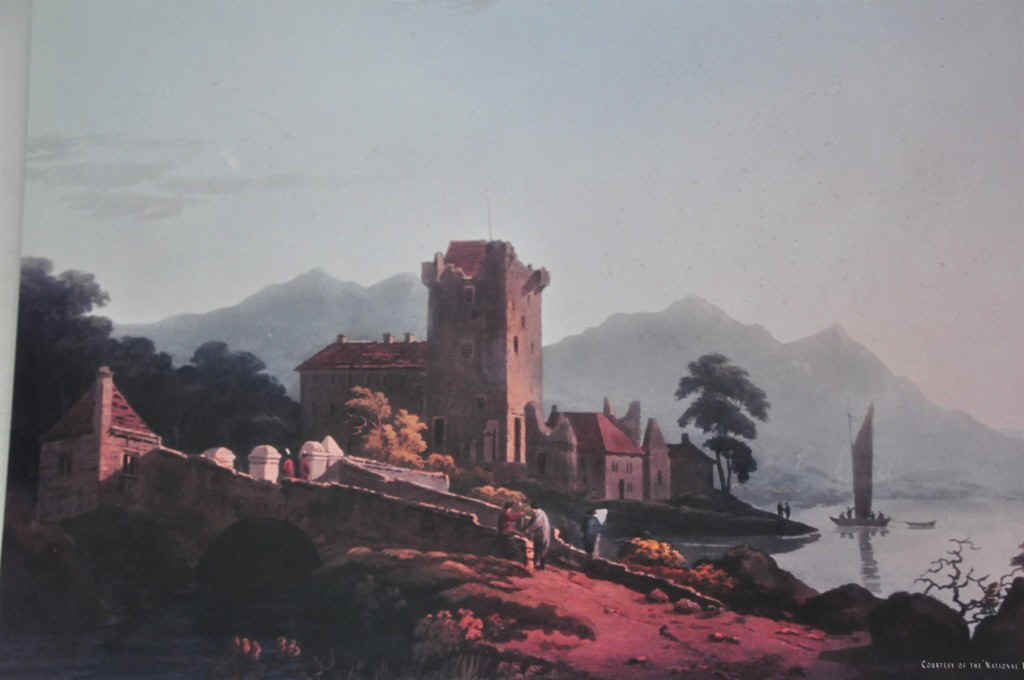
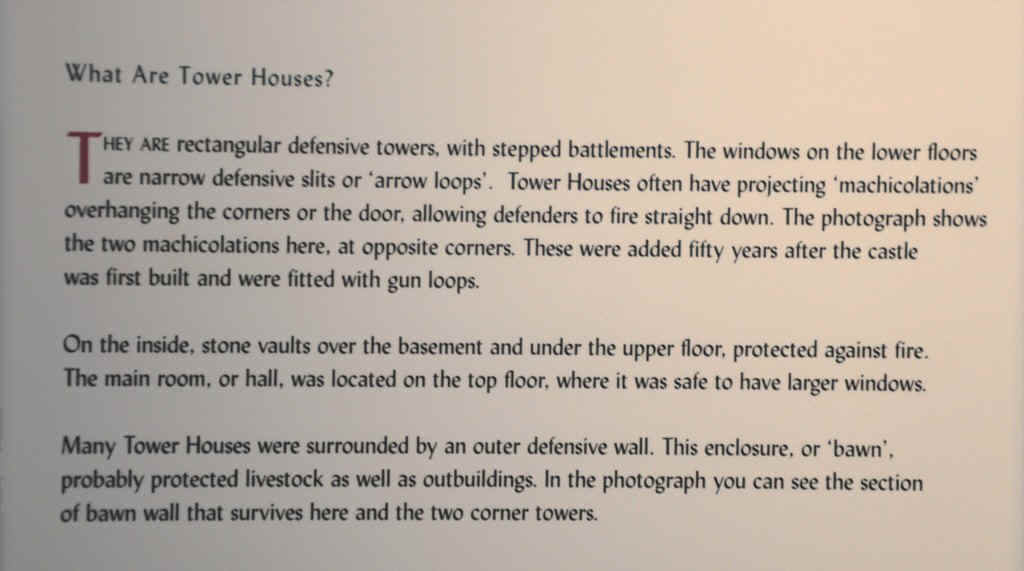
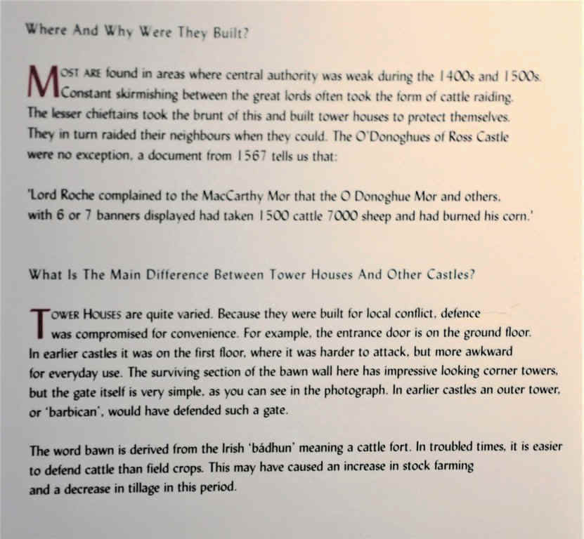
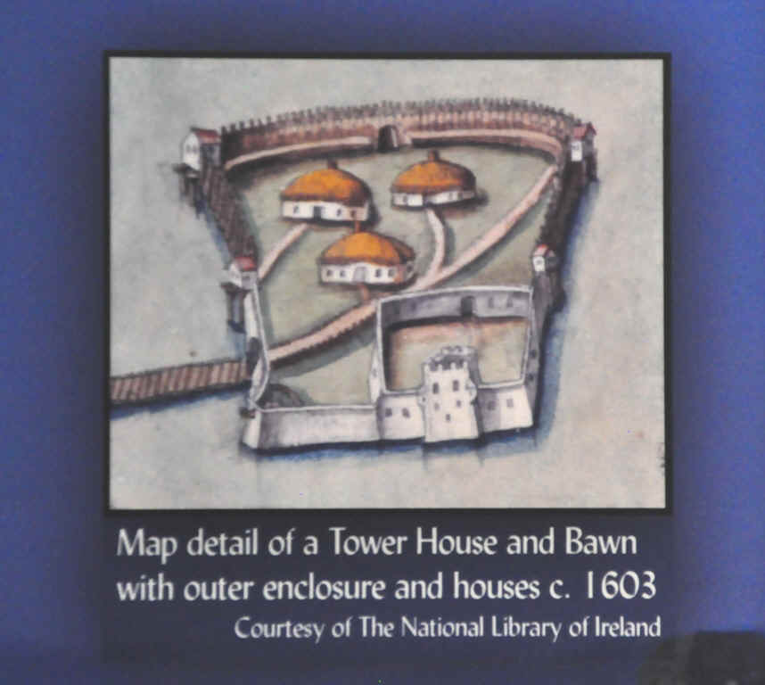
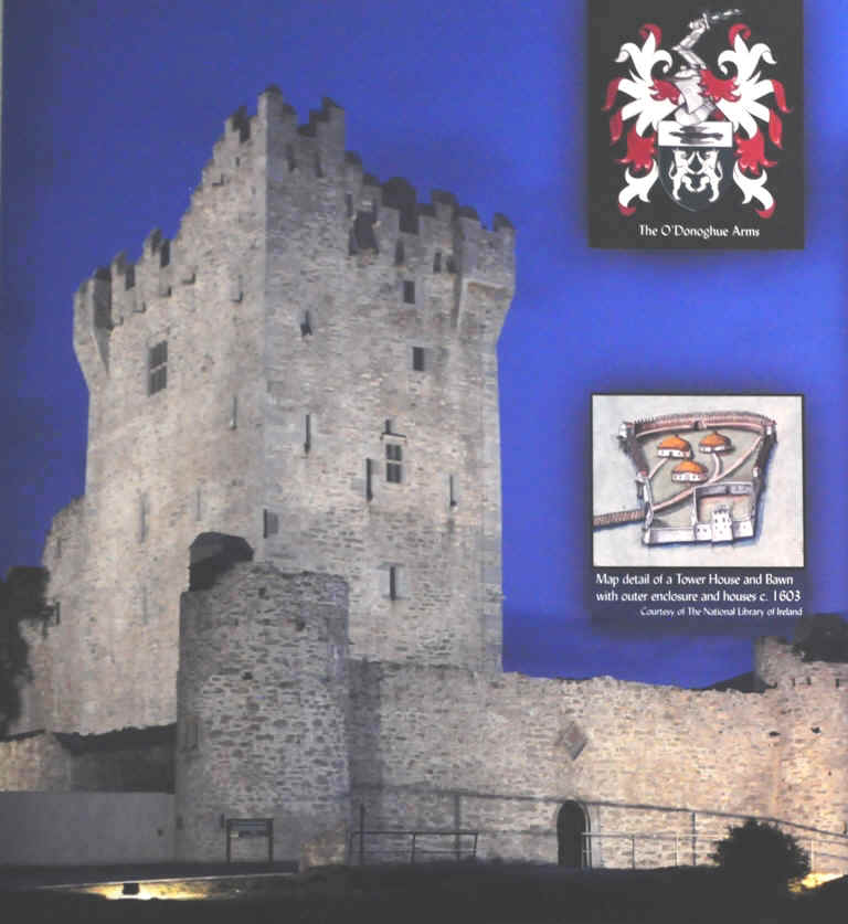
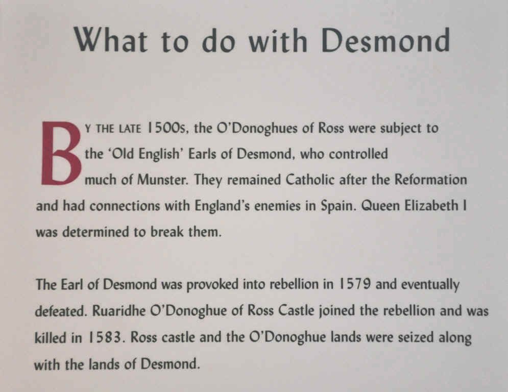
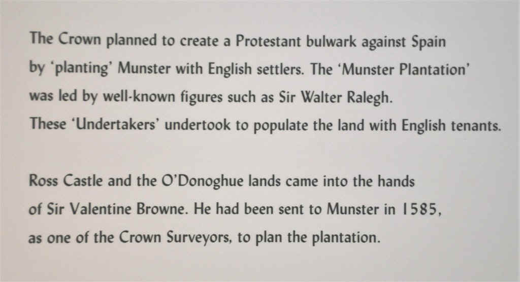
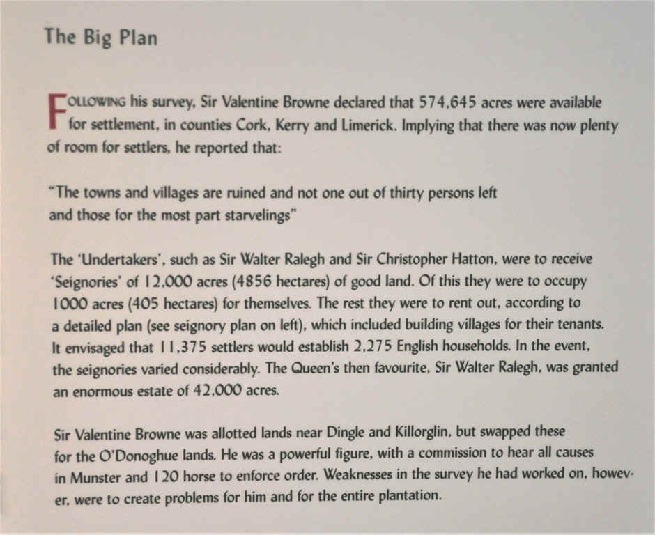
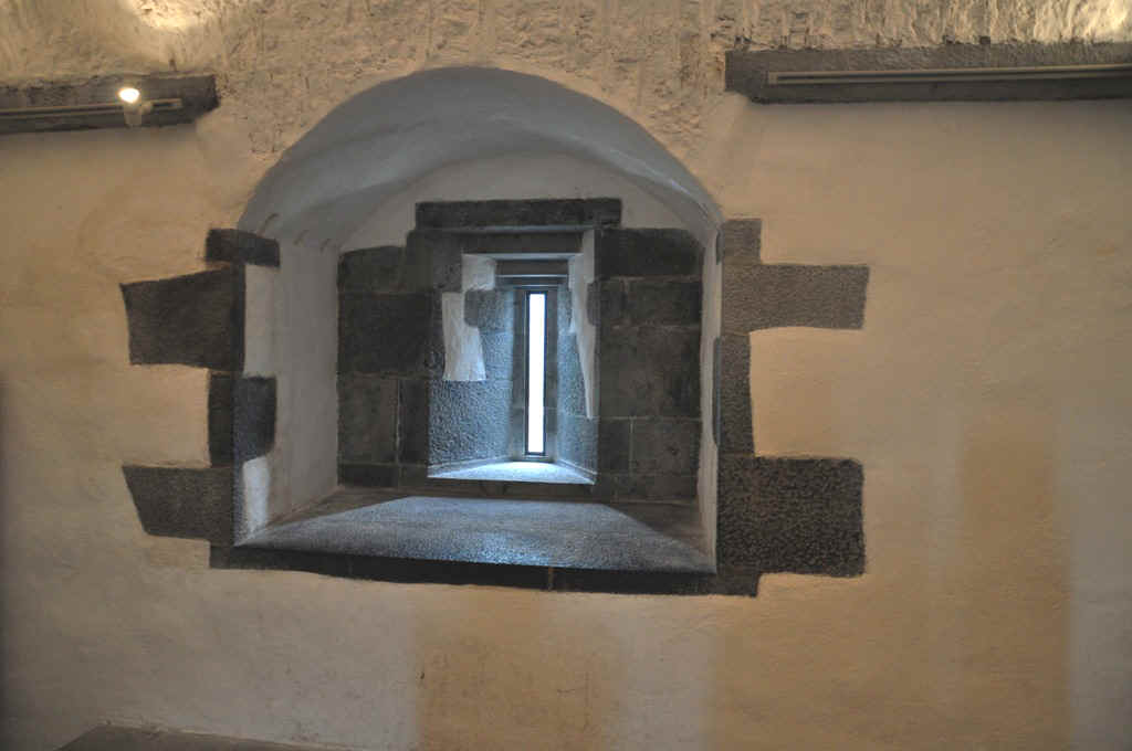
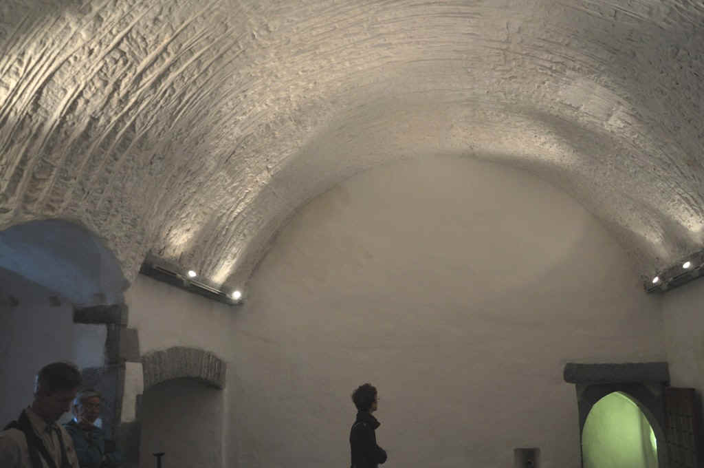
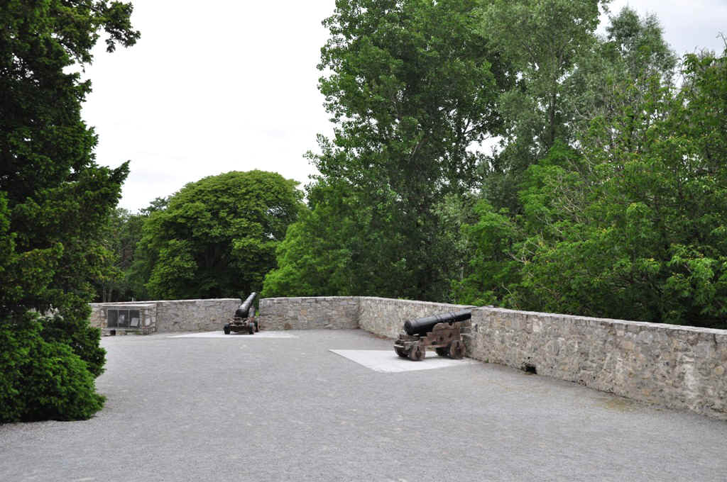
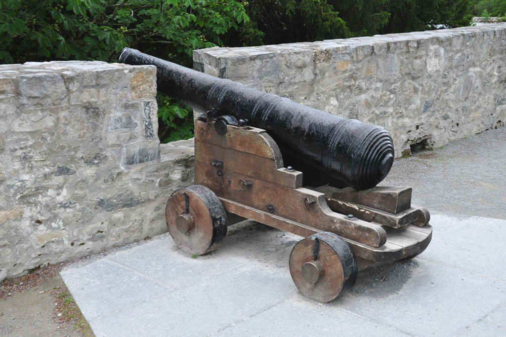
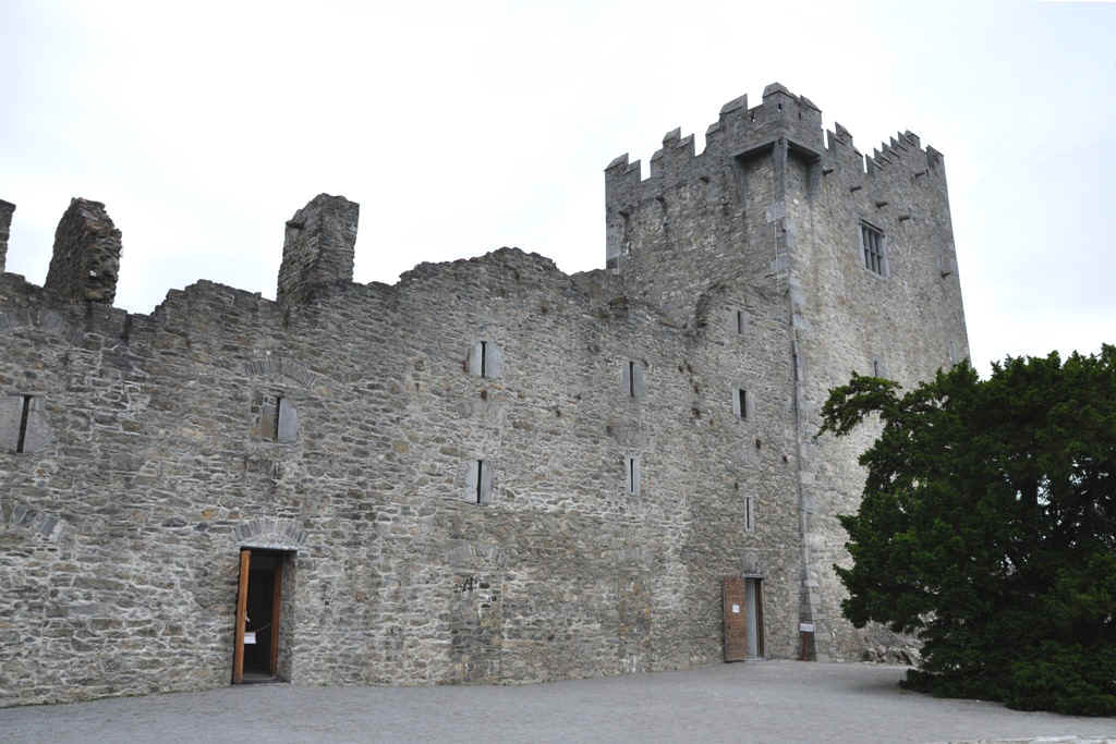
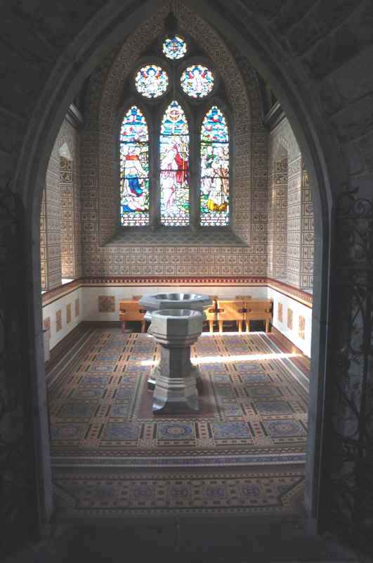
Now for a tour of the Castle
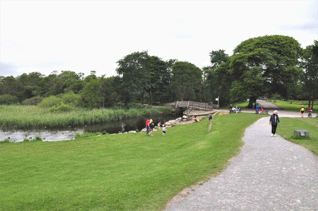
After the tour of the castle, we rode through the park towards the campground.
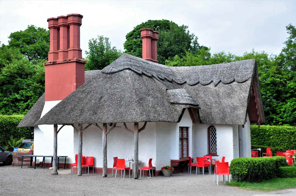
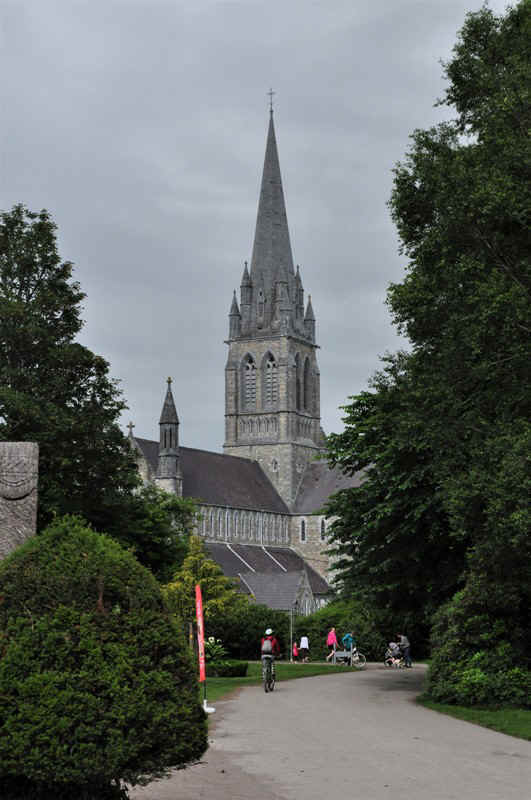
But diverted into Killarney to see the Cathedral. This cottage was on the way.
First view of the cathedral
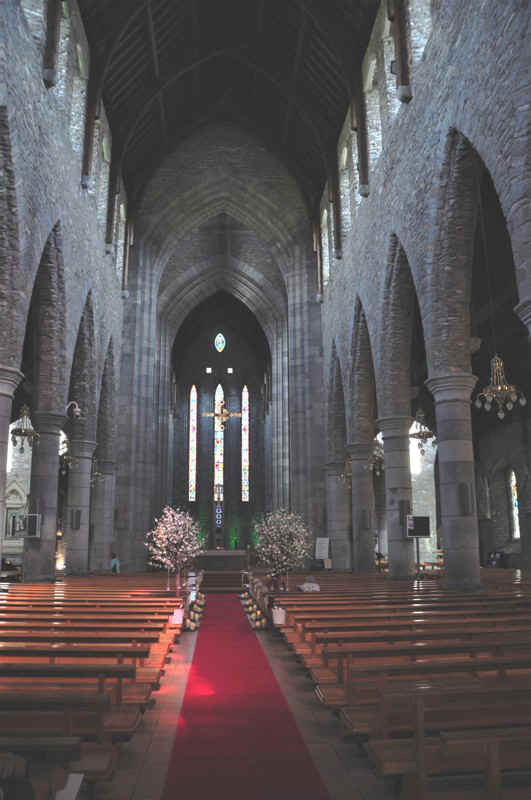
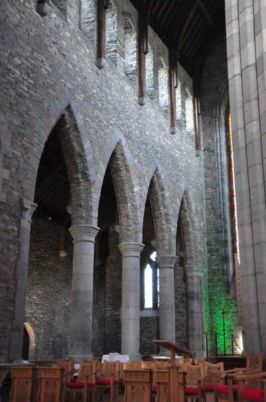
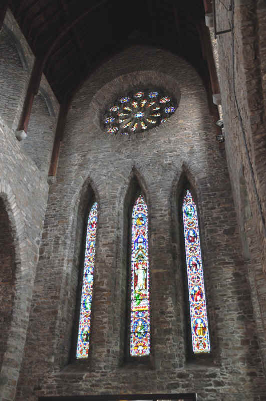
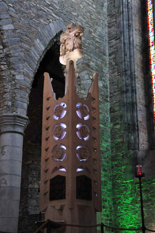
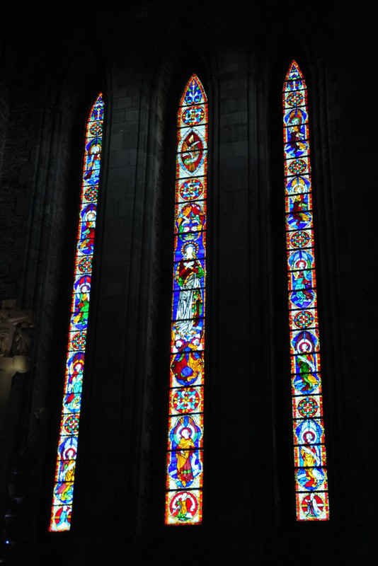
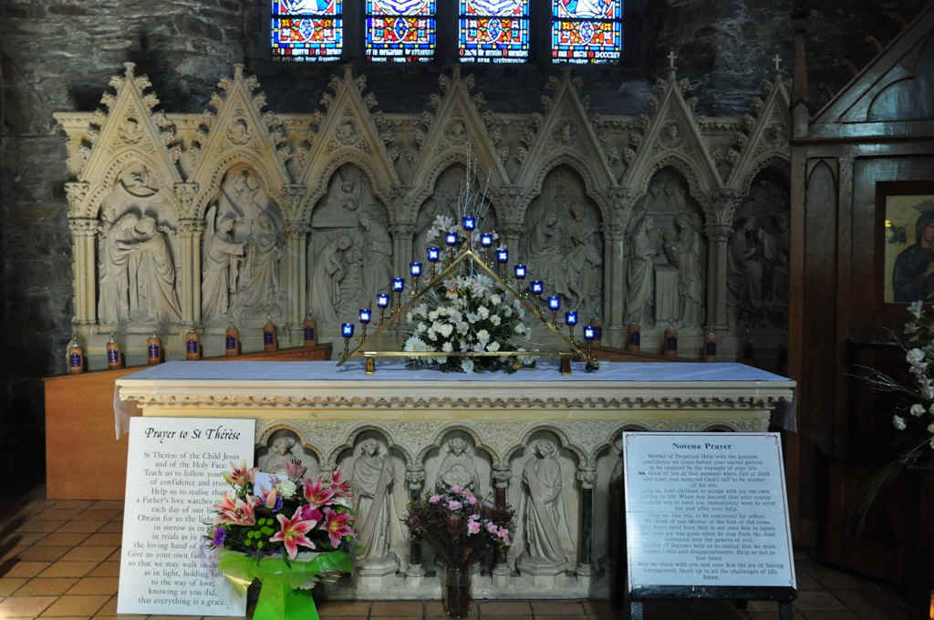
Very impressive interior.
|